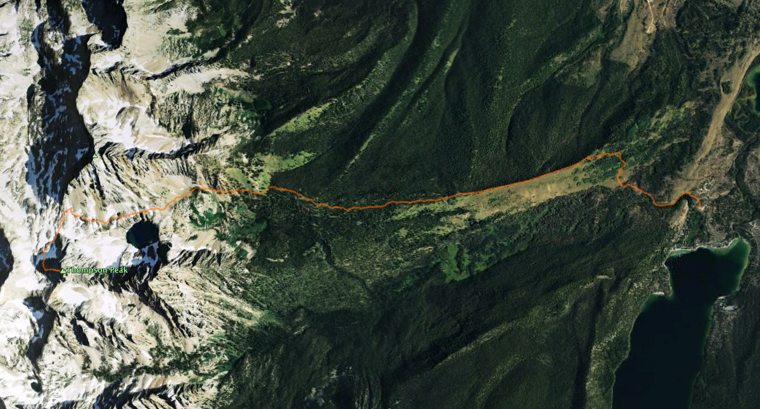
On an extraordinary fall day, I had the fortune to attempt to summit Thompson Peak (10,751) – the highest in the Sawtooth range of Idaho. As I always say, better to be lucky than good. An on this day I was one lucky son-of-a-gun.
Accompanying me would be my son Kyle. A goal for the two of us this season is to summit the highest peaks in each of the five mountain ranges (Pioneer, Smoky, Boulder, Sawtooth, White Cloud) that coalesce near my home in The Wood River Valley of Idaho. If we can make it to the top of Thompson Peak, the count would be three down; Hyndman (12,009) of the Pioneer’s, Ryan (11,714) of the Boulders and Thompson. It would leave Castle Peak (11,813) of the White Cloud’s and Saviers of the Smoky’s as the remaining peaks to summit this year.
The biggest blocking event to achieving the goal has been forest fire. Four major fires in the region broke out the week we topped Lubeck Peak in the Boulder Mountains (10,480). For almost seven straight weeks the valley and region were filled with smoke and extremely unhealthy air – with the current total at approximately 890,000 acres burned (an area about the size of the State of Delaware). We did receive breaks in the weather (i.e., wind) and summit-ed Ryan and Hyndman Peak. Recent rain has dampened and slowed the fires – three of the four remain remain to be contained.
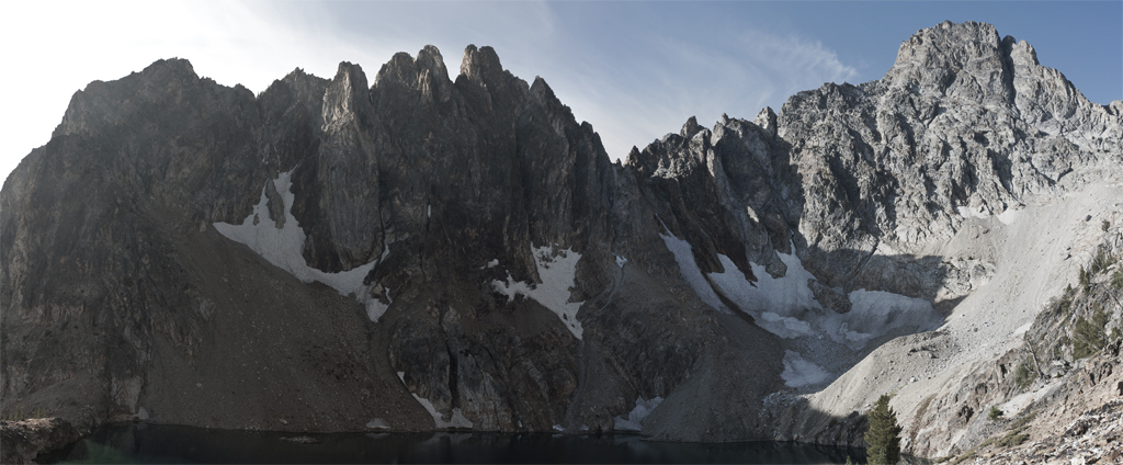
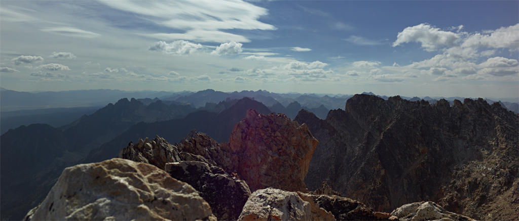
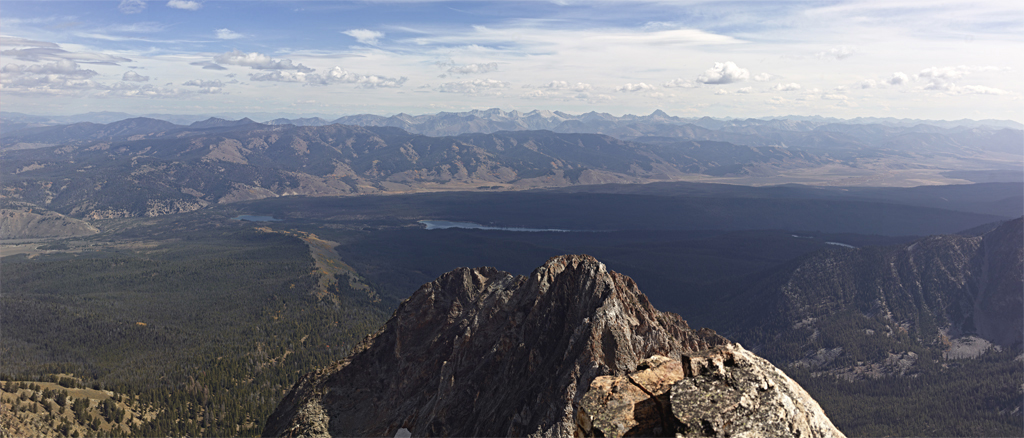
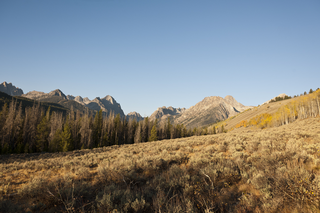
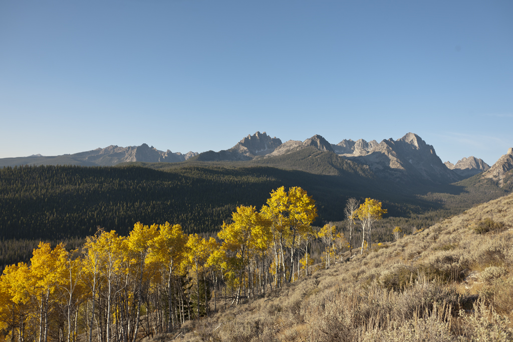
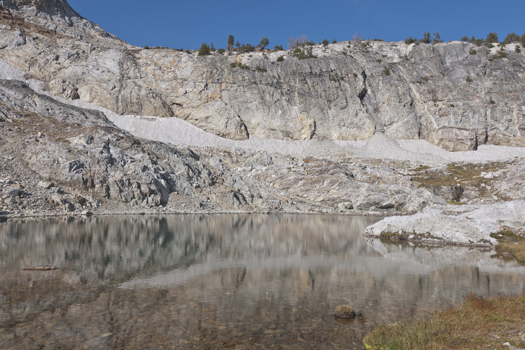
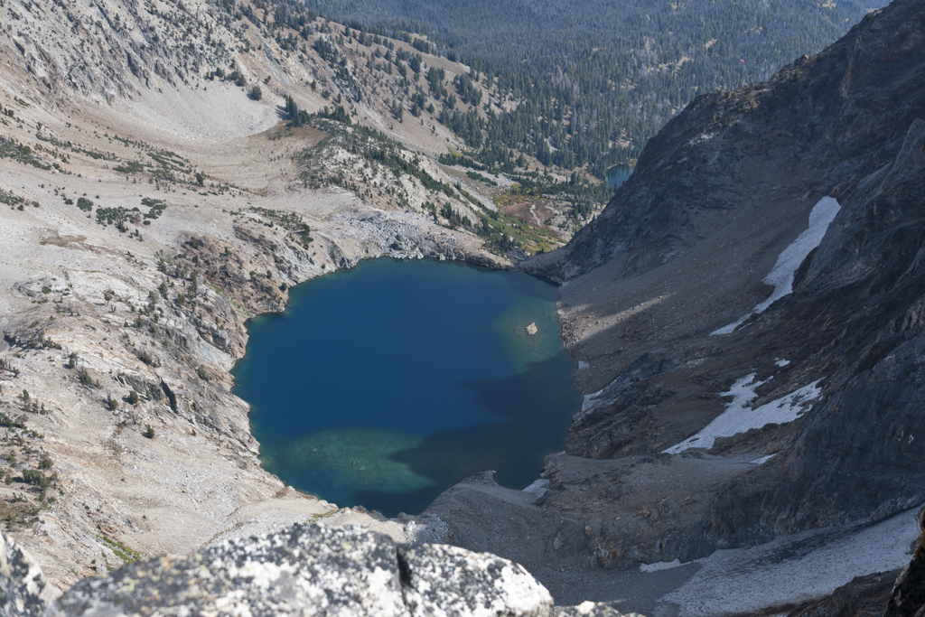
Thompson Peak has four approaches. The most straight-forward approach to the summit is via the south couloir (class 3), starting from the Redfish Lake trail-head. This approach is 6.43 miles one-way; 4,222 net vertical feet of gain (5,289 ascent and 1,157 descent). Most people hike the first four miles of the route to the meadow at 8,000 ft or the lake at 9,000 feet and camp with a summit the next day. Others will ascend and descend the entire route in one shot. Kyle and I decide the one-shot approach it will be – as it has served us well to-date. However, on this day, not only would reaching the summit be a treat, the color display on the route was at times breath taking. Kyle set a great pace on a route that included a long stretch of wonderful single-track trail, boulder hopping, snowfield traversing, an unintended free climb, rock scrambling and tidbit of glissading. We reached the summit in four hours and 21 minutes (3:47 if time for photos is removed). Kyle signed the log book at the summit. Reading the story’s in the log book are always a treat and sometimes include a sad note. There were some of both in this book. One note was from a person who made the summit on there third attempt. Another was a note of remembrance for a friend who reached the summit, signed the log, but never made it home – dieing on the descent.
After a spot of lunch and taking some more photos we headed back down to the trail-head and on to home.
![Kyle on South Couloir of Thomspon [DSC3949]](http://jefflubeck.net/wp-content/uploads/2012/10/Kyle-on-South-Couloir-of-Thomspon-DSC3949.jpg)
