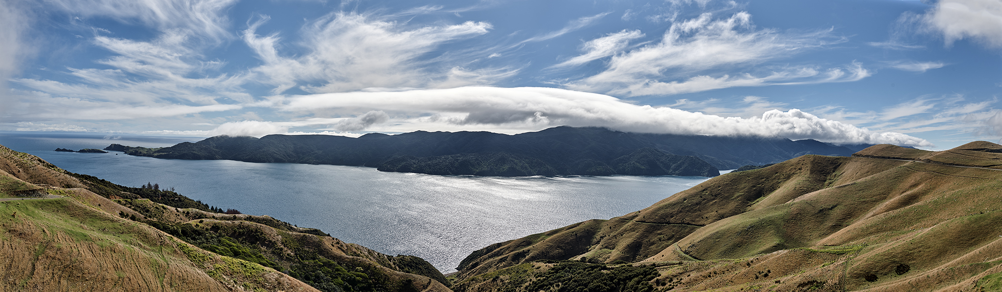
Knights Point, Haast New Zealand
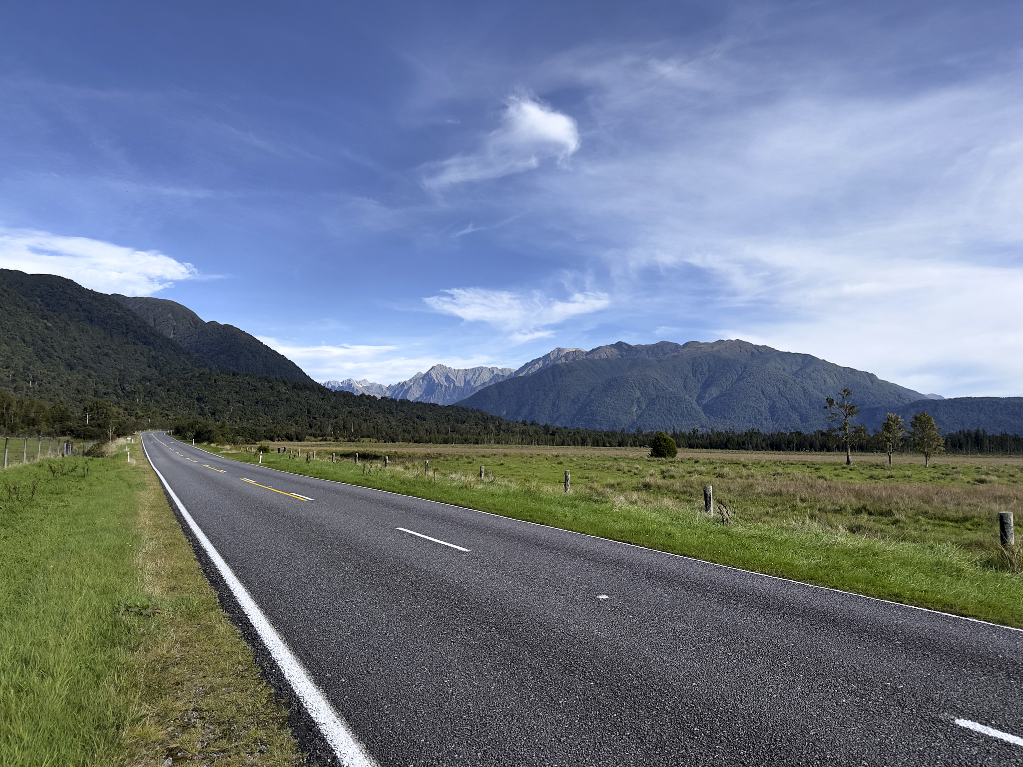
Approaching Haast. Mt. Ward in the distance.
End of the Road
I like to travel to places representing the end of the road. My wife of 44 years, Linda, also enjoys it. At Jackson Bay in New Zealand, the West Coast road network reaches its ultimate boundary. Beyond this point lies the extensive wilderness of Mount Aspiring National Park and Fiordland National Park.
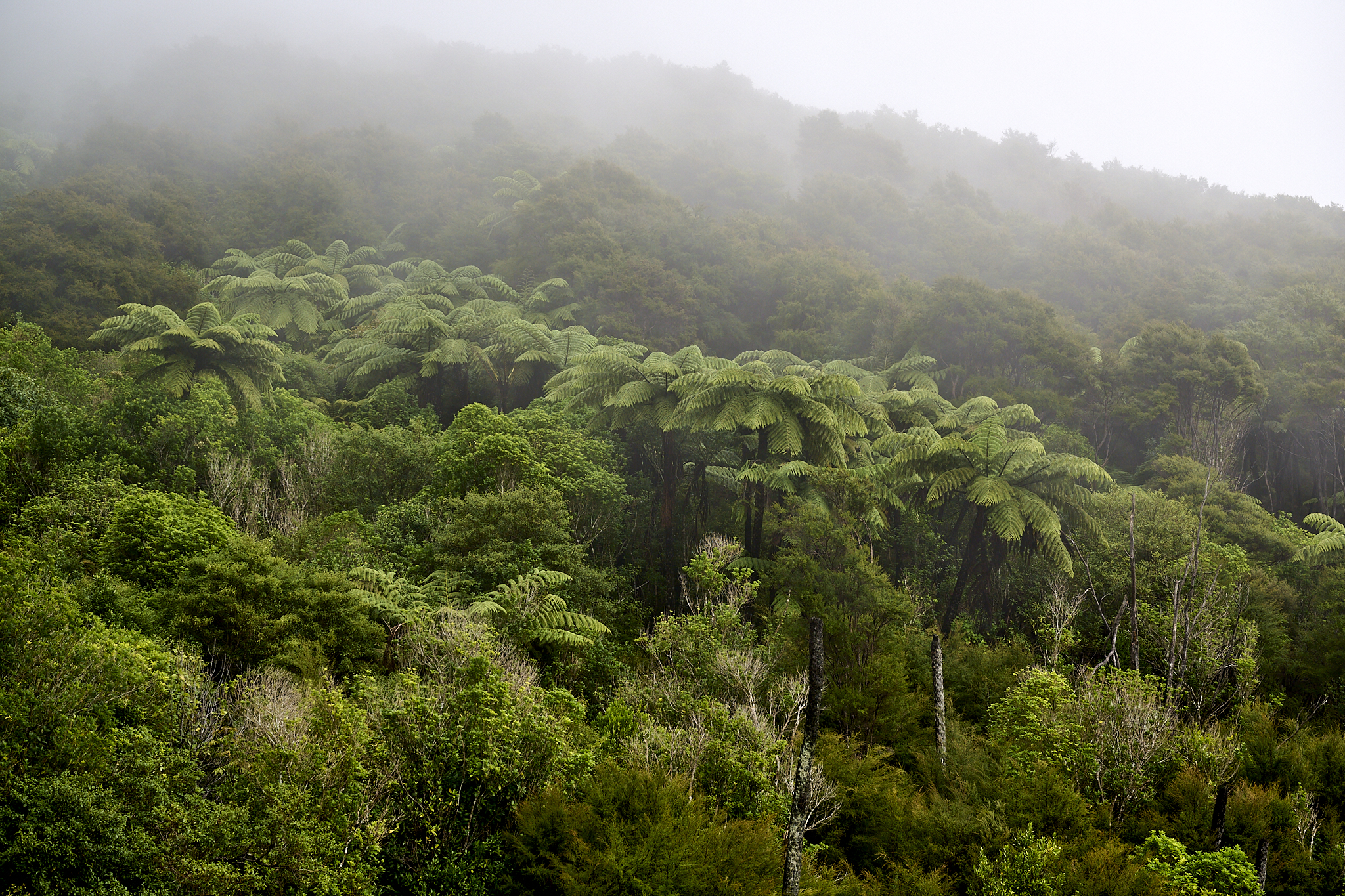
Jackson Bay stretches for 15 miles. Today it is accessible via a road beginning in Haast. The route has numerable changes in setting. In certain spots, the sun is almost entirely obscured by the dense tree cover. Along the coast, the broad beach is covered in white sand and driftwood, with no one or any residences in sight. Wide rivers that are fed by glaciers are spanned by one-lane bridges.
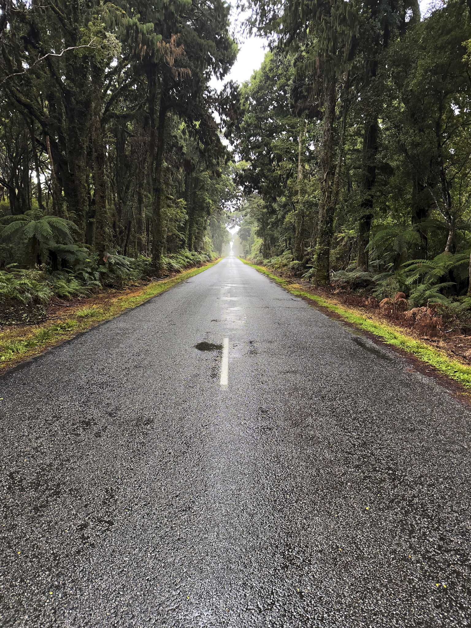
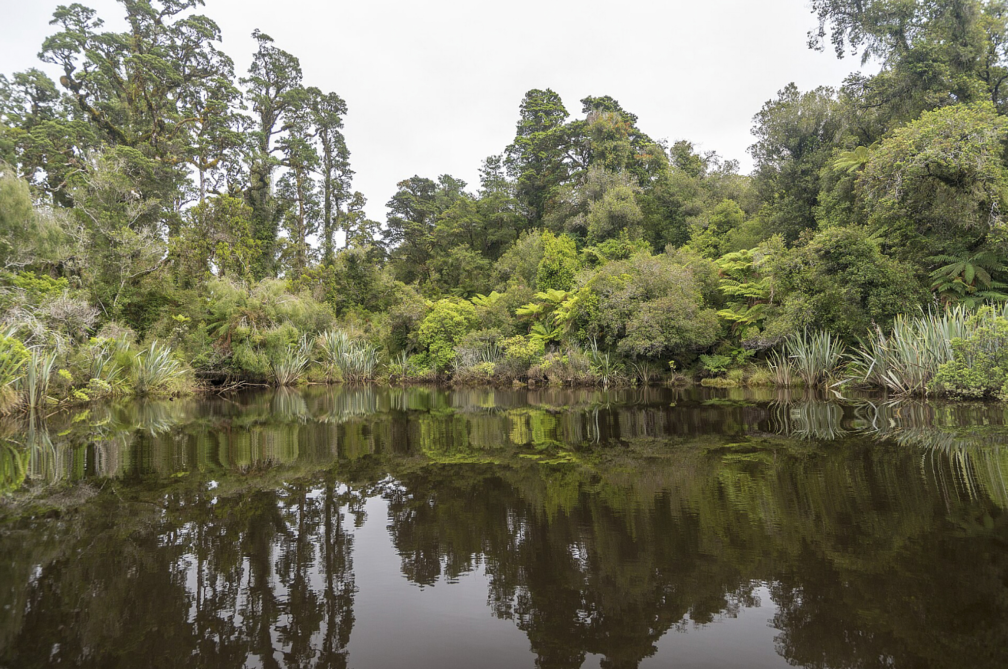
Haast Tree Cover Hannahs Landing New Zealand
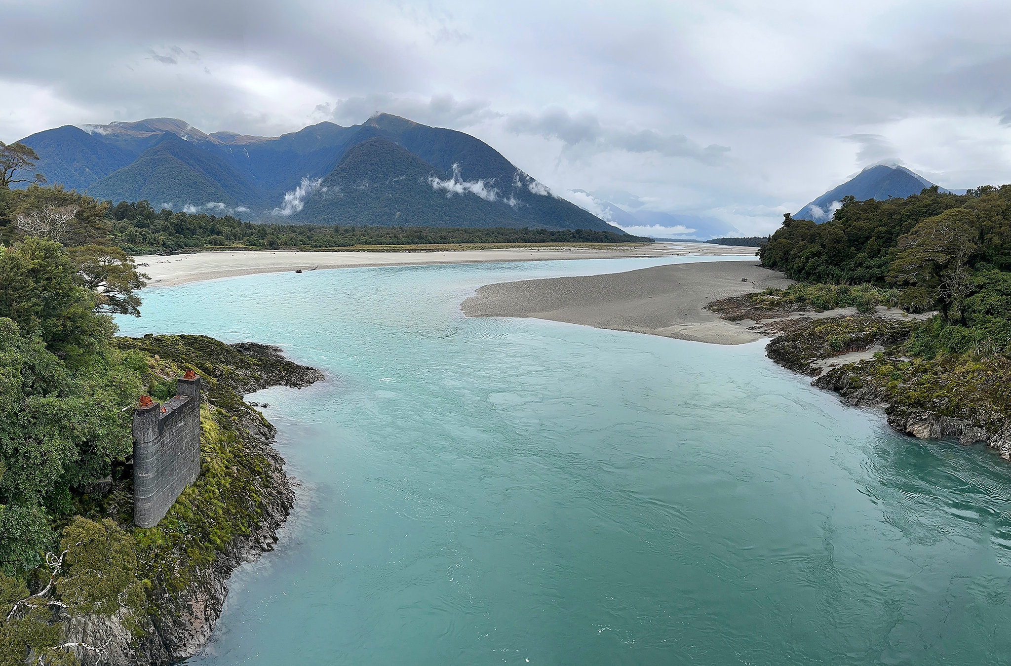
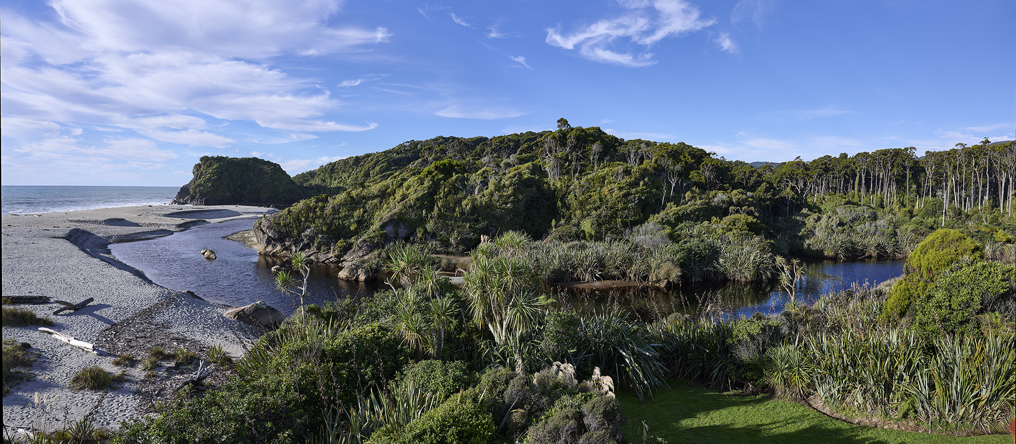
The Arawhata River flowing into Jackson Bay
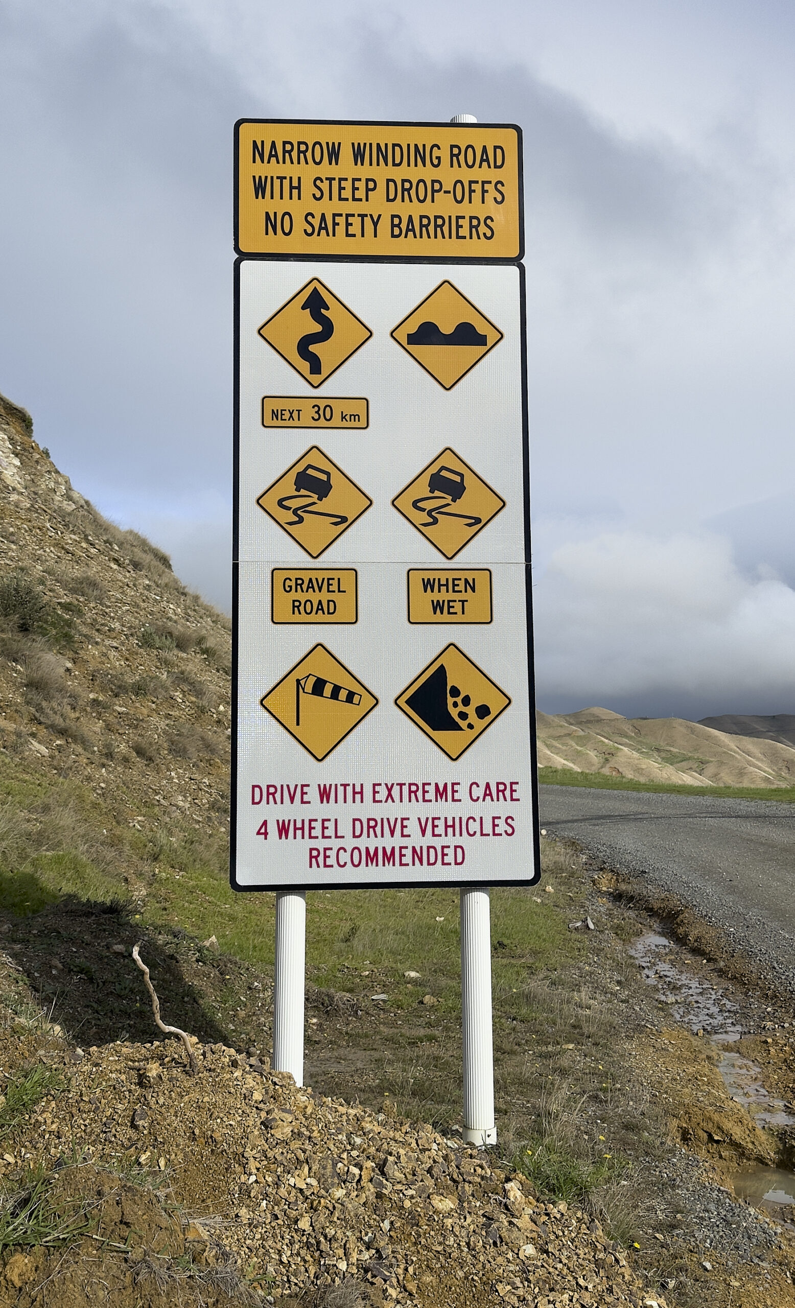
Paved and gravel sections make up the roadbed. Towards its finish, the road hugs steep cliff sides. A landslide has eliminated a portion of the road on the last half mile, requiring us to drive on a temporary asphalt patch.
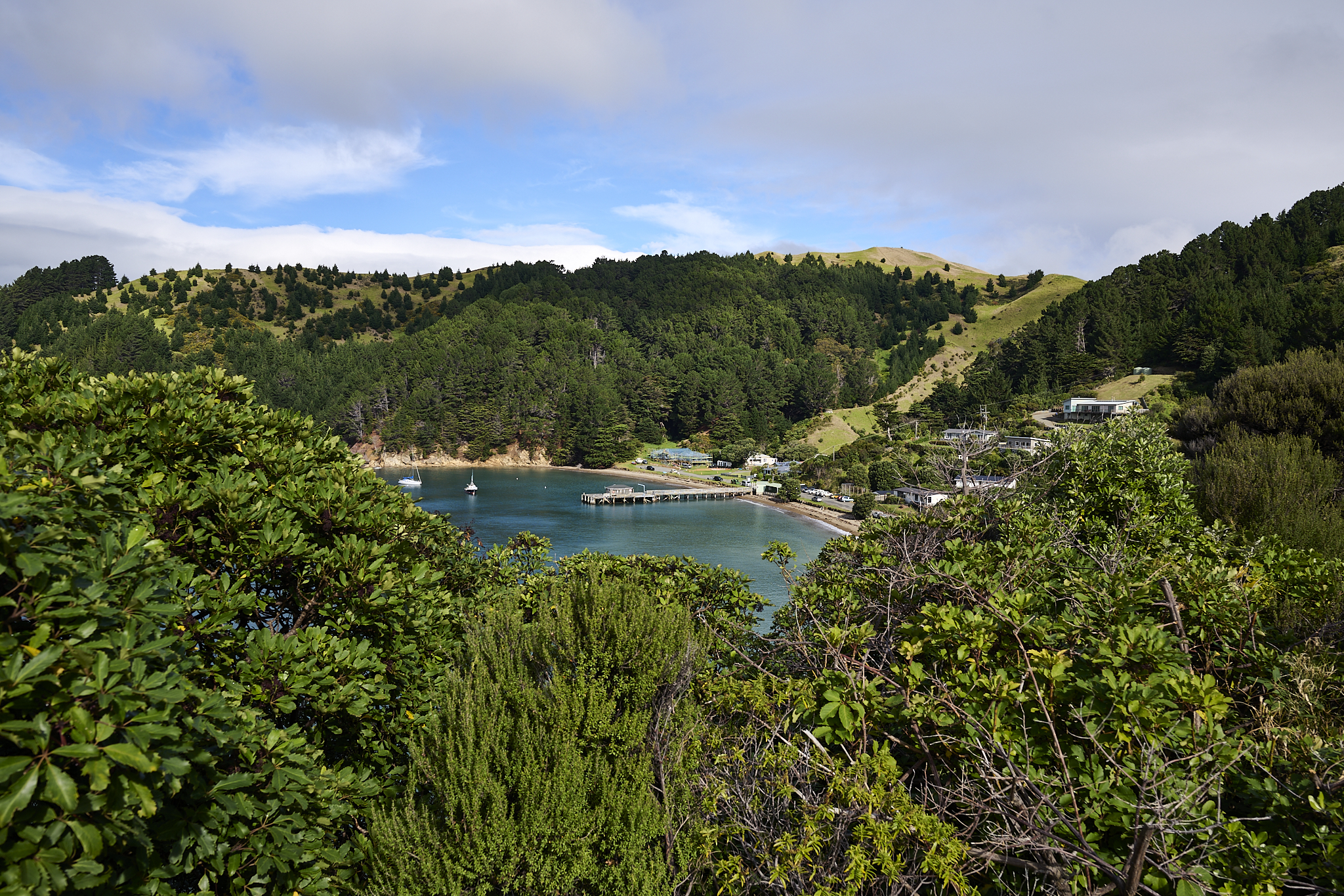
Jackson Bay
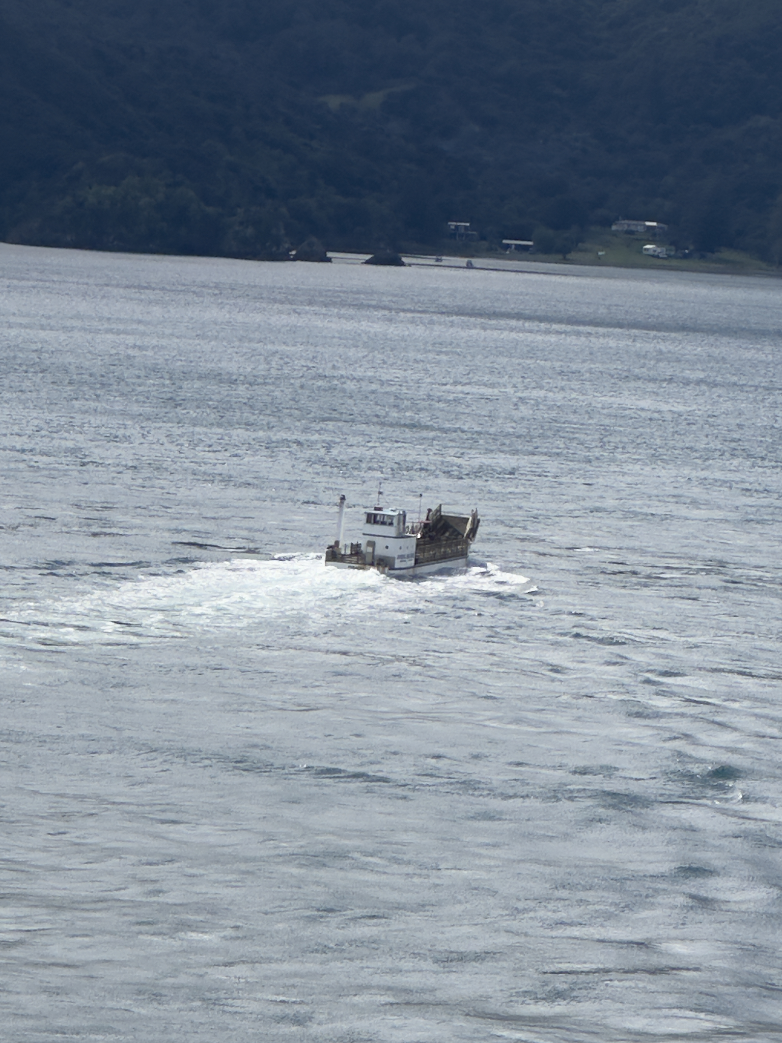
The village functions as a fishing port, home to 100 residents. During its first 60 years, sea travel was the only way to get to the settlement. Unfavorable weather and nearly complete isolation led to the failure of the first settlement attempt.
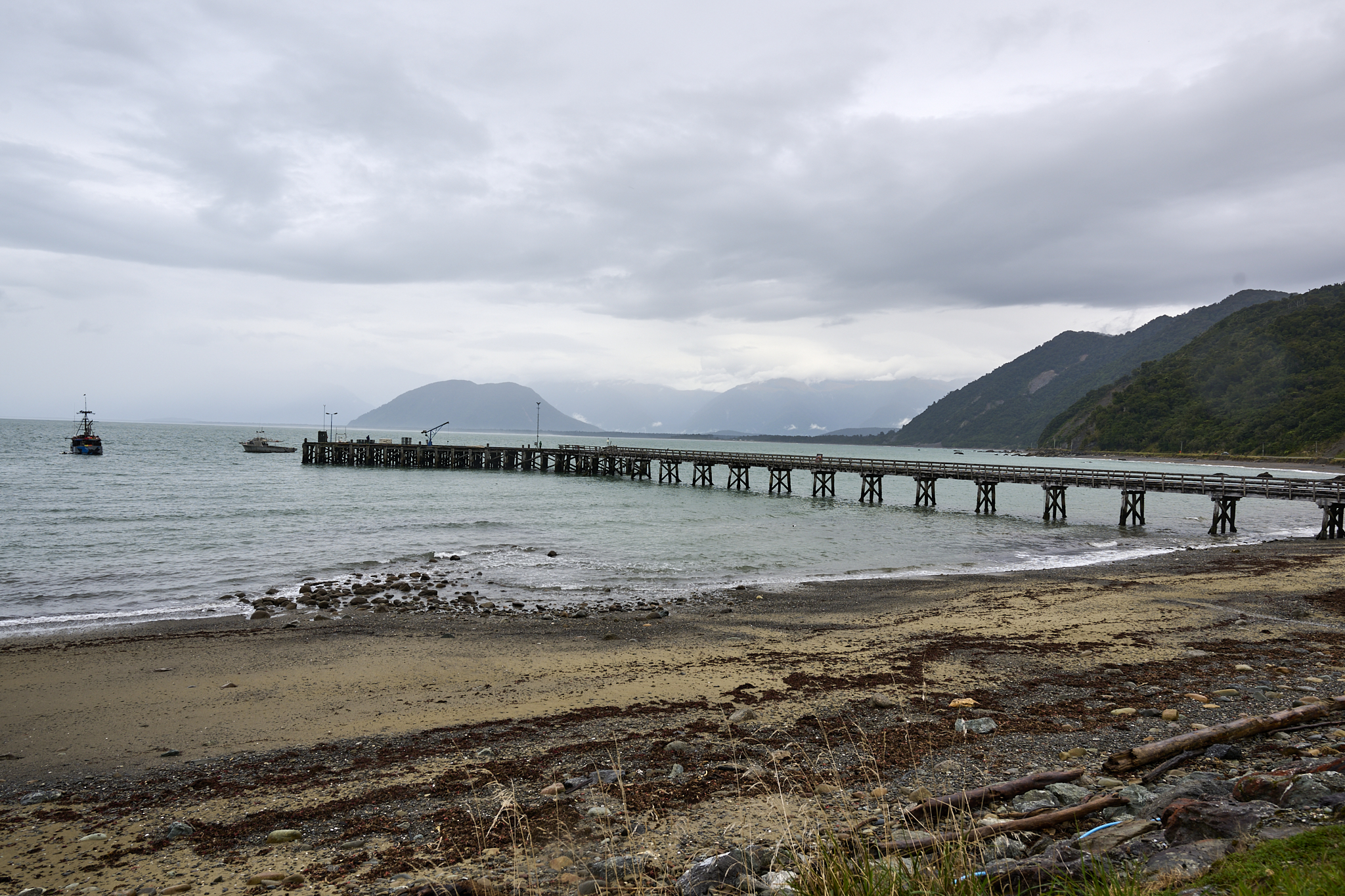
Jackson Bay Pier
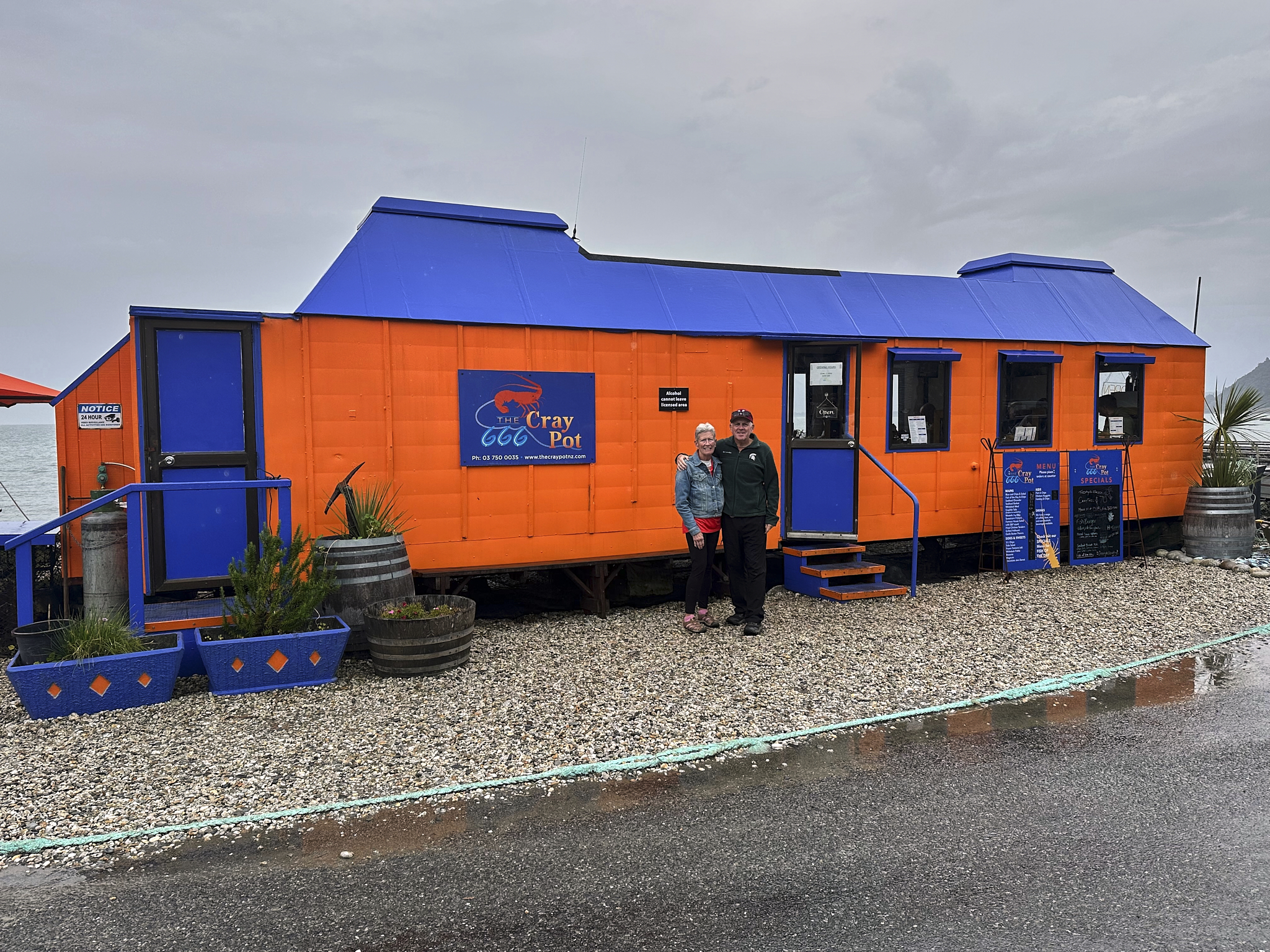
The Craypot
GrayPot
Jackson Bay’s most acclaimed feature is the CrayPot restaurant. It operates out of a former caravan trailer built a century ago. When we arrive, the line of patrons is out the door, down its front steps, and twice the length of the trailer. Most people are ordering takeout. Inside, the seating resembles that of a public transportation streetcar from the early 1900s. The CrayPot offers unbeatable seafood fresh from the pier. Its servings for one turn out to be servings for three. The bright red shell of the large crayfish is the standout. It is not alone. All the food presentation makes your mouth water. It tastes even better. CrayPot is a terrific experience.
The out-and-back trip to Haast is fun because we get to revisit everything.
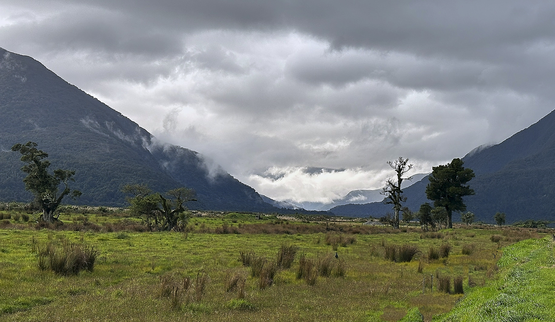
Haast River Region heading towards Haast Pass
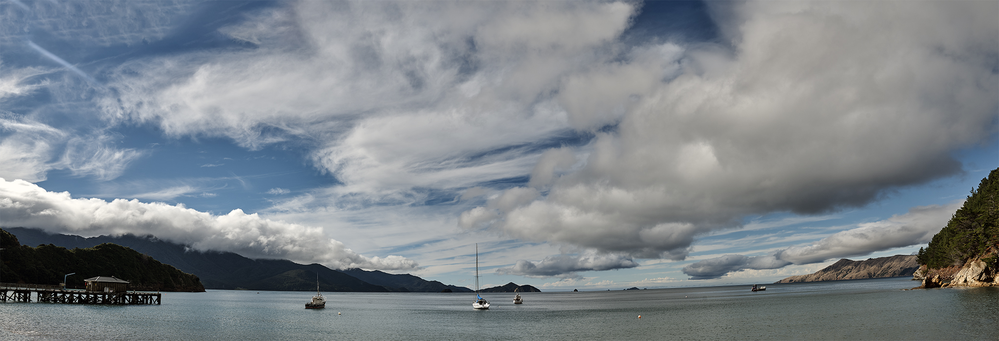
Haast, Jackson Bay, and Waiatoto River regions can look and feel completely different because of the weather. On Sunny days, they are mixtures of green flora, blue sky and white sand. They are various levels gray when the weather is poor.
Waiatoto River Wild Safari
A stop at the Waiatoto River during the return yields an adventure for the following day. It is a glacial river whose headwaters are a two-hour jet boat trip up the Waiatoto into the alpine wilderness and back to the Pacific Ocean. We make this trip on the following day. We will remember this trip forever.
Ruth Allanson of Waiatoto River Wild Safari greets us at the sign in booth at their office in Hannah’s Clearing. She is the owner operator with her husband Wayne. This area is neither a village nor a town. It acts as a shared space for a few homes and companies. The trip will start about a mile away on the Waiatoto River on the other side of the bridge.
Though the launch site is remote, it’s equipped to satisfy all customer needs. It’s cold outside, and the rain is falling. Ruth provides clothing that will keep us warm and comfortable throughout the journey. Ruth lets us have the option to back out of the trip and get our money back. We happily decline.
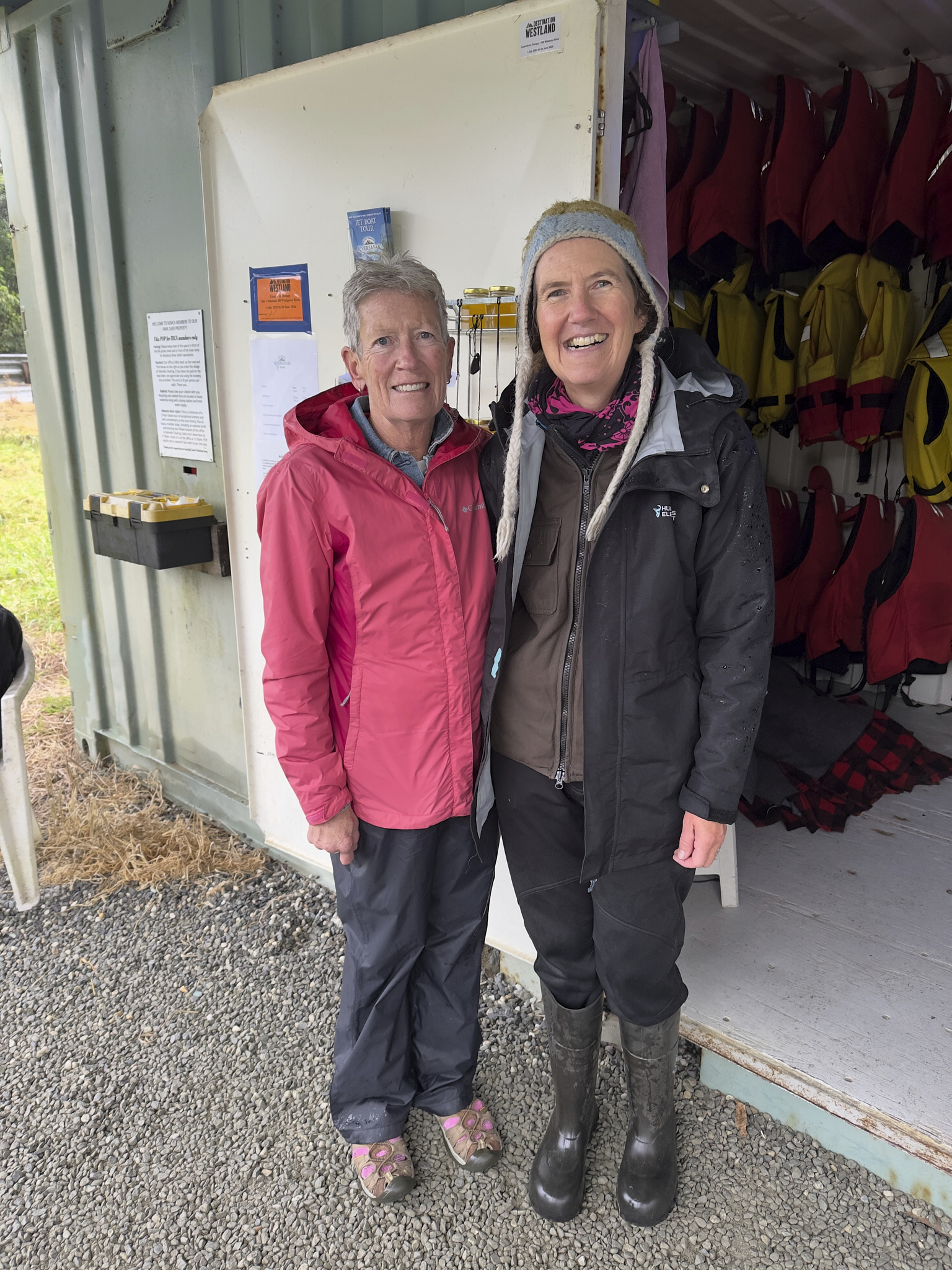
Linda about to get outfitted by Ruth.
The trip is travel on water on a boat powered by a jet engine commanded by a commercial pilot who grew up on this river. It says a great deal to me.
Watch Your Hands
Speeding past boulders that are inches away is both scary and a thrill. The pace of the passage is anywhere from gentle floating to swift. Ruth provides information concerning the river and its environs, covering geography, biology, and history. This information comes from a local, not someone repeating marketing points.
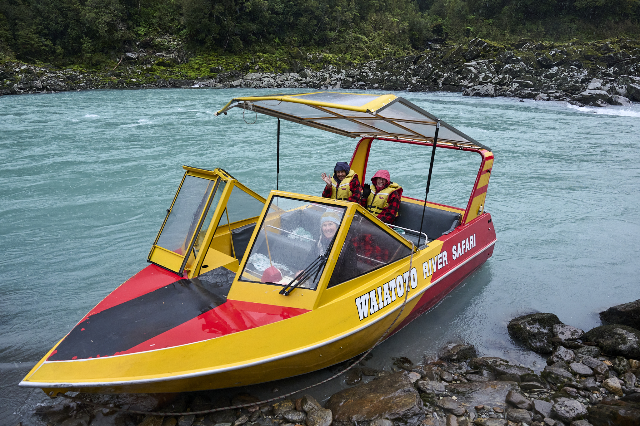
The Jetboat
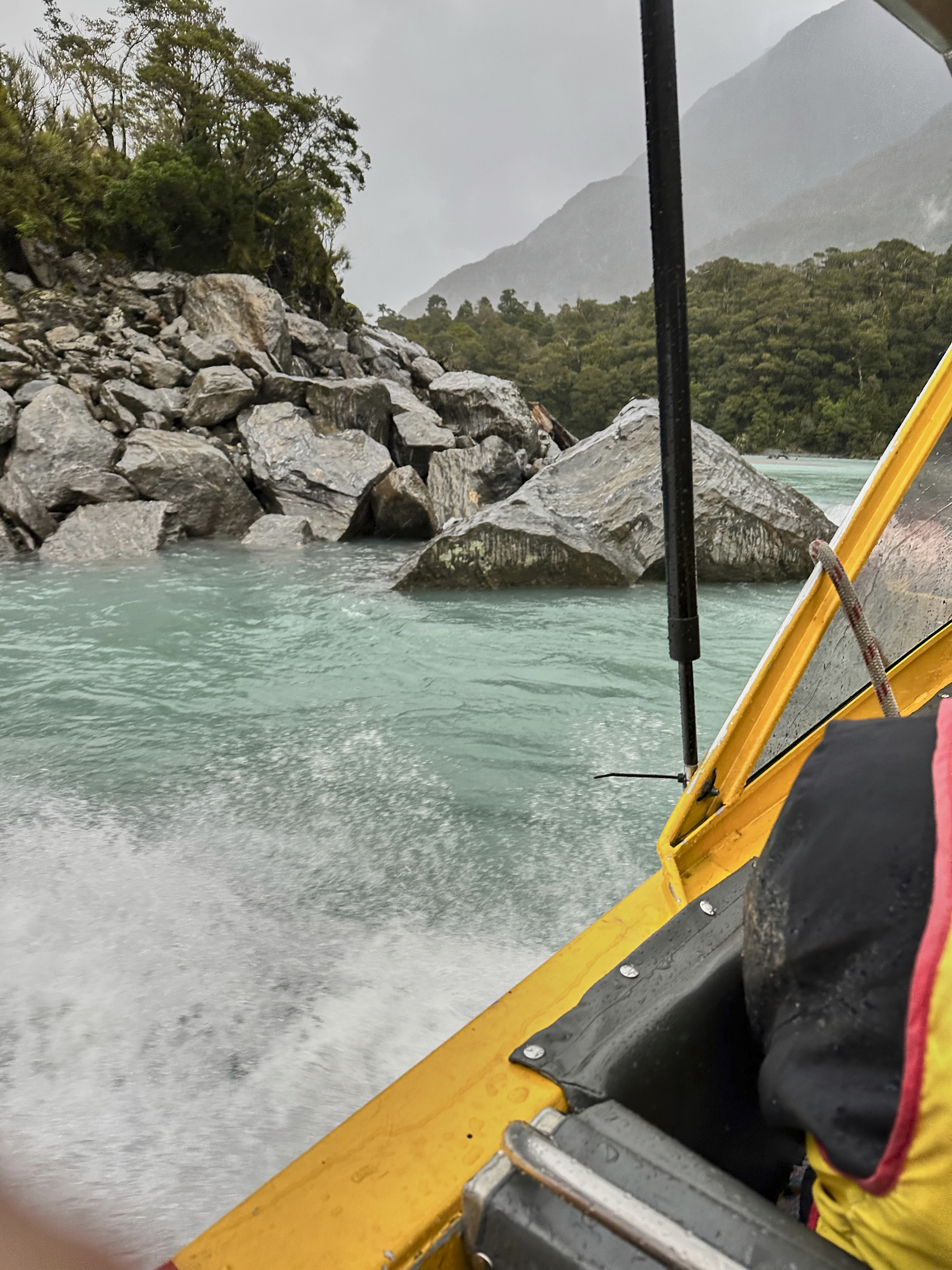
Keep your hands in!
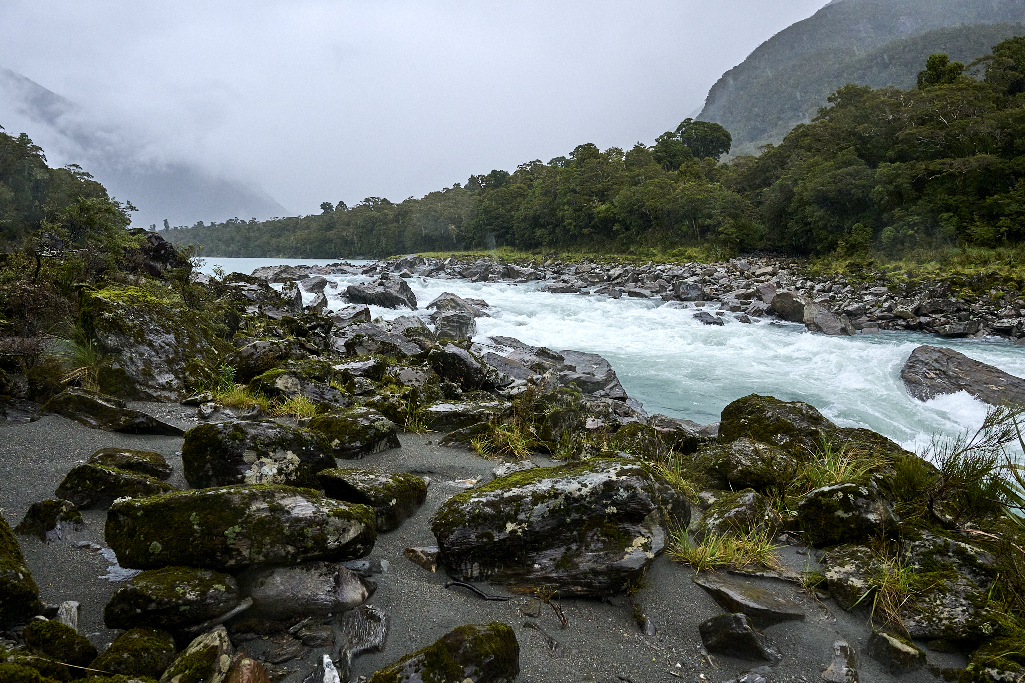
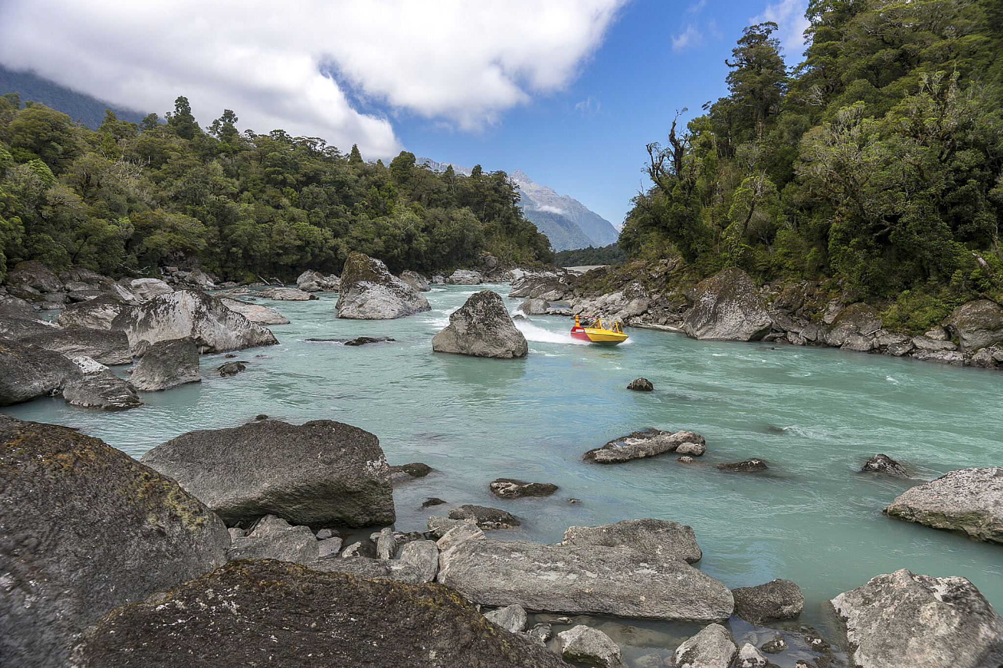
The river gets rough and tight at times.
Lush and Green. Photo provided by Waiatoto River Wild Safari.
Ruth us took to the spot above. It is one of several ponds/channels paralleling the ocean. They are breeding grounds for the whitebait fish. The Waiatoto River in South Westland is most famously known as a premier breeding and migratory ground for whitebait, which are the juvenile stages of five native New Zealand galaxiid fish species. Ruth stopped the boat and let it float on the pond. She served us hot tea, raspberry scones, and whitebait Hors d’oeuvres.
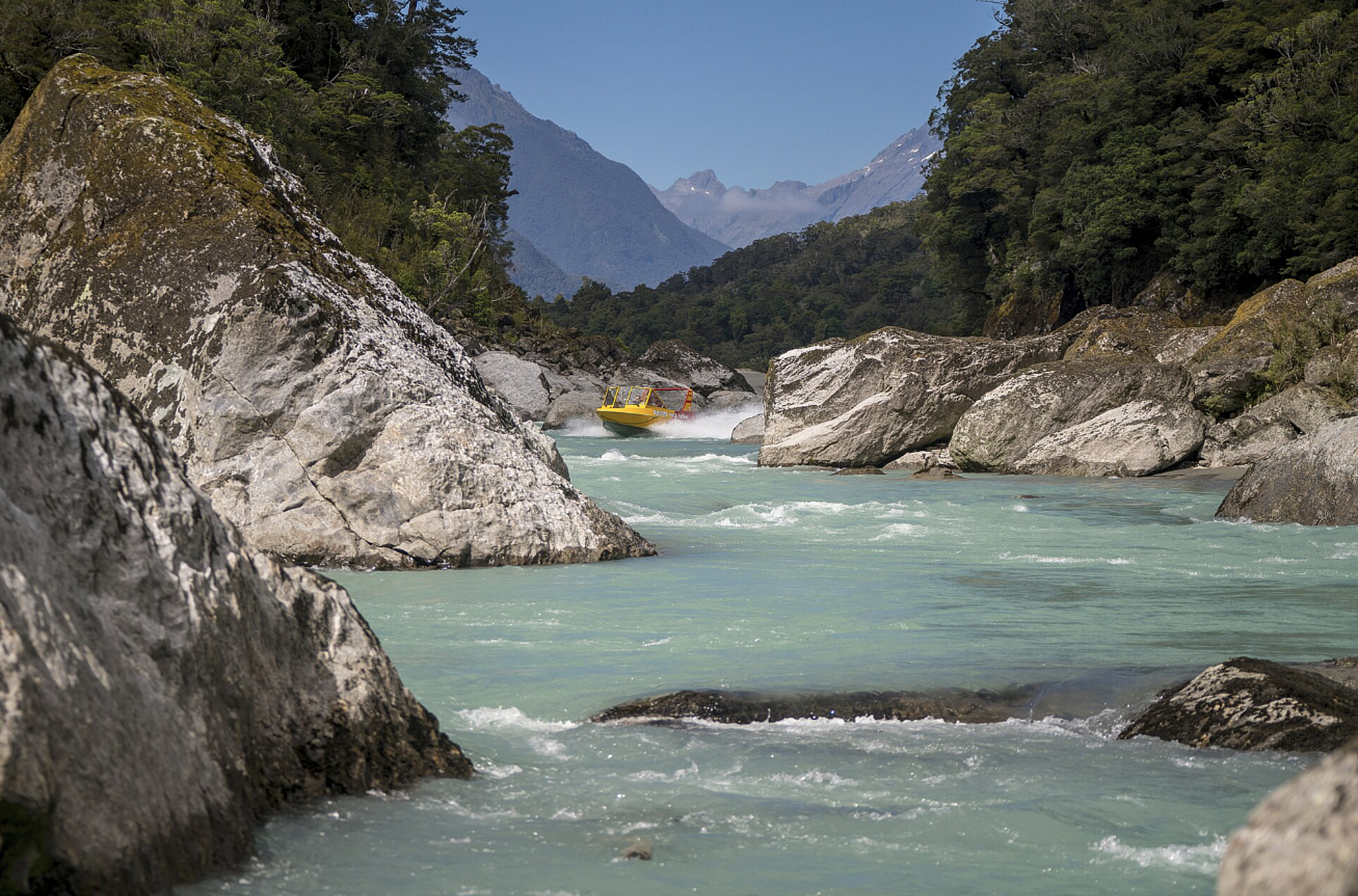
On the river cutting through the boulders. Photo provided by Waiatoto River Wild Safari.
Speeding towards home. Photo provided by Waiatoto River Wild Safari.
This area is special and is worthy of a return visit.
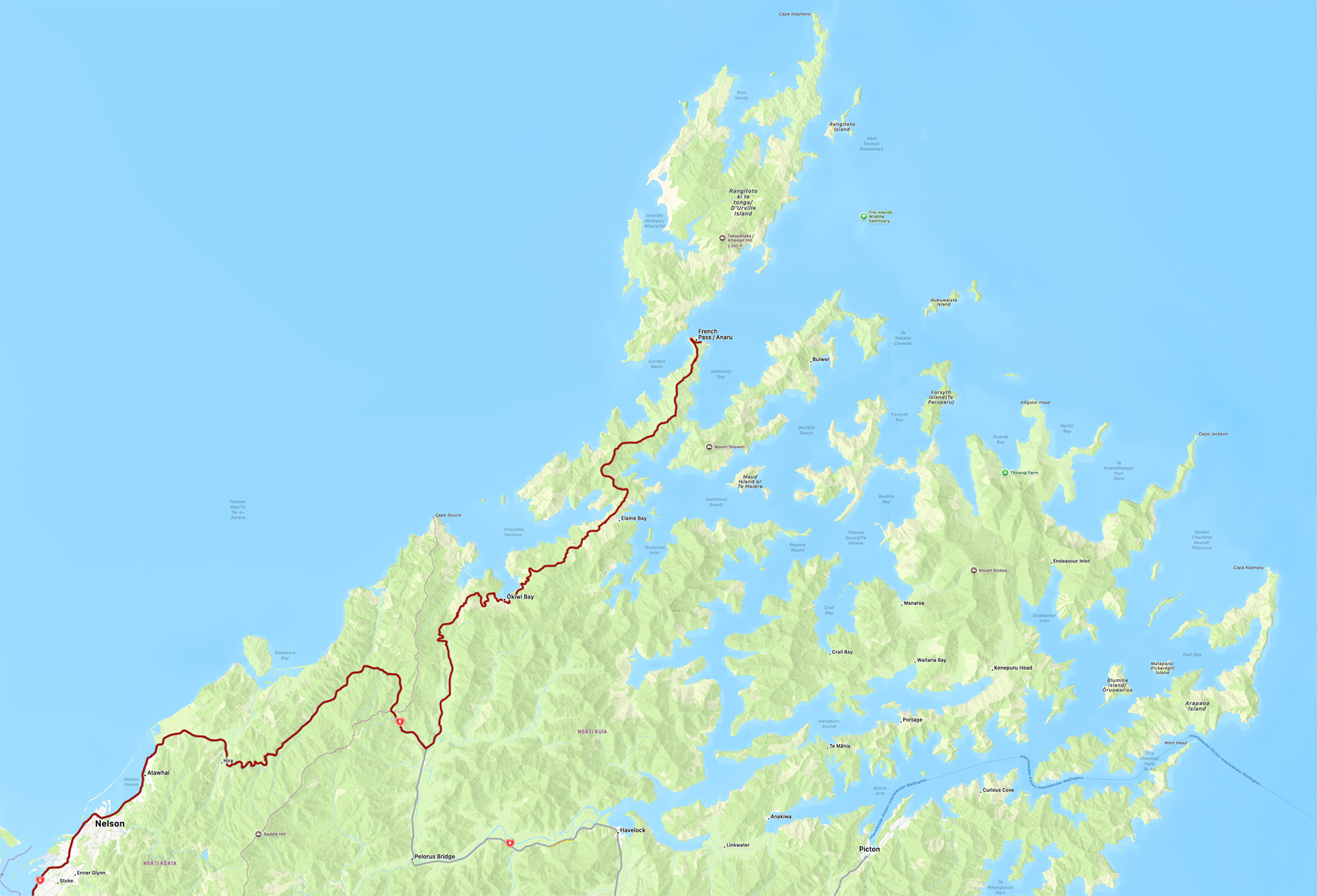
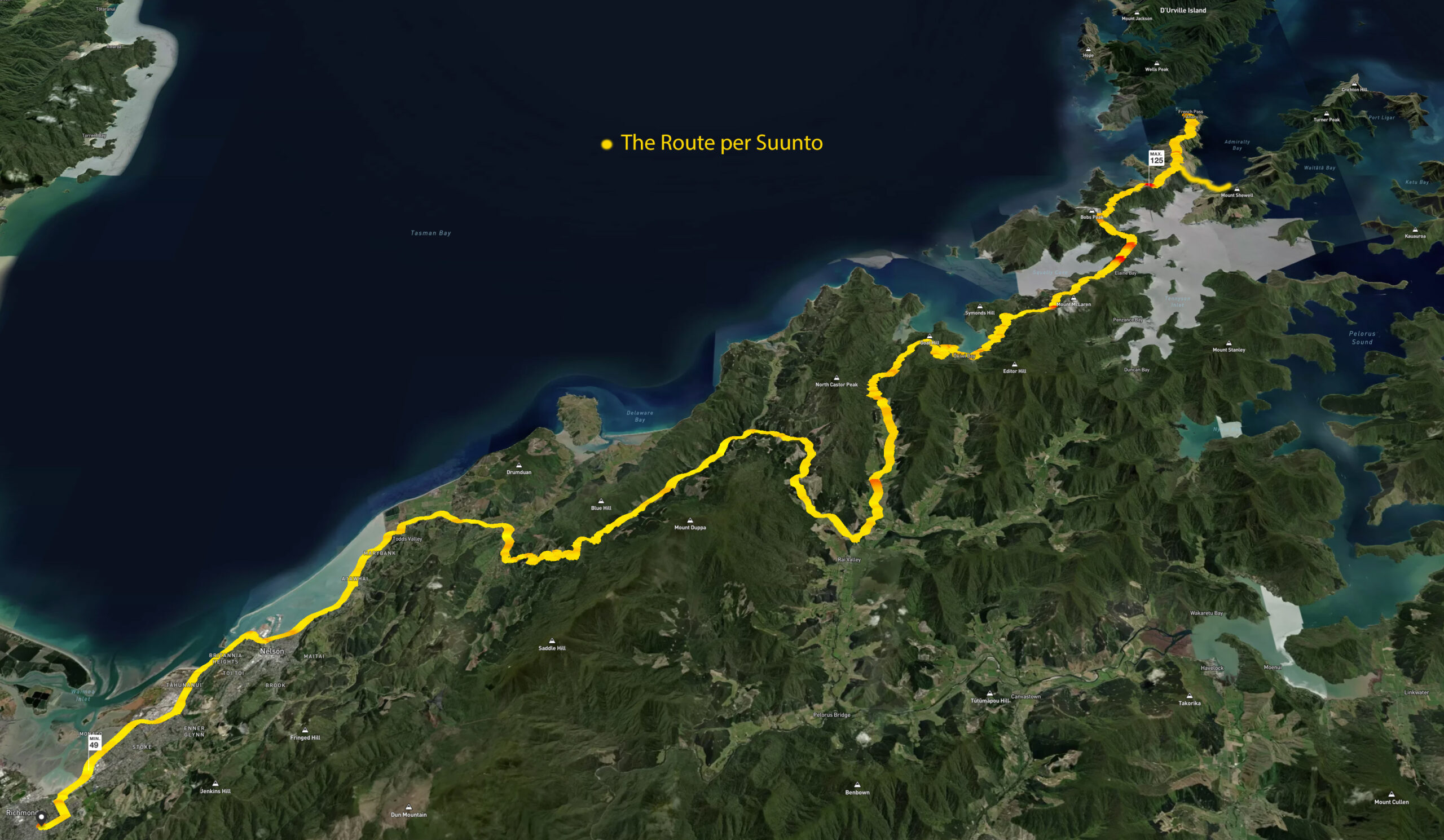
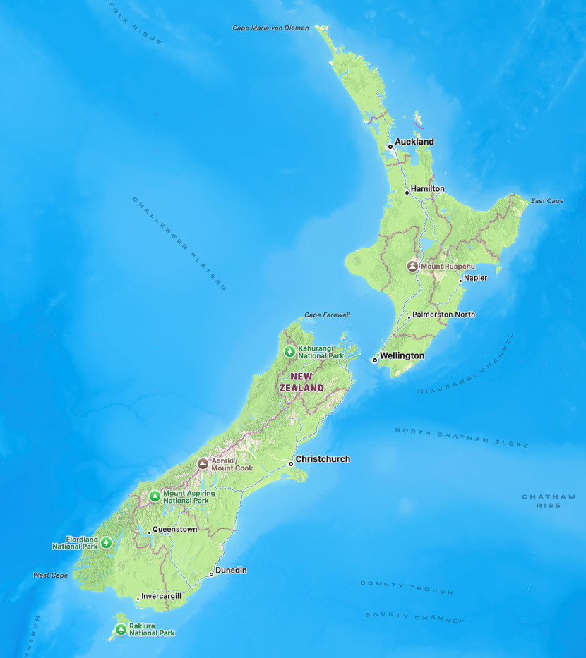
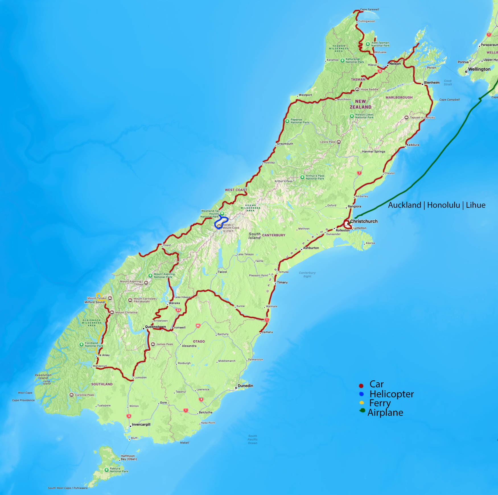
Maps
 |
 |
 |
*** Jeff’s Thoughts and Other Worthless Trivia ***
One advantage of our trips such as these is staying in a private home. We are members of HomeExchange. We have been members since its inception in the 1990s. Members do not exchange money. Just the home, and if you desire, vehicles and similar. There is a small annual membership fee. You must be an active member, own the property you are exchanging, and can show you are a real person. HomeExchange verifies all aspects.
Linda and I stayed in six homes on this trip. Kate exchanged her holiday home in Haast with us. She, as a host, and the house were fantastic.