As the saying goes, last is not necessarily the least. On Thursday, the statement could not be more applicable as Kyle and I successfully complete summiting (in 2012) the last of the highest peaks in the five mountain ranges (Pioneer, Boulder, Sawtooth, White Cloud and Smoky) surrounding the house. The last, Saviers Peak at 10,441 is the tallest in the Smoky’s and is named after Mr. & Mrs. George Saviers who summit-ed the peak on their honeymoon and left a register in a band-aid can. What made the trip noteworthy for us is that we decided to go for four named (Saviers, Bromaghin, Titus and Lower Titus) and two unnamed peaks (9,921 and 9,636) in one day. With the task completed and a wonderful lunch consumed in the warming sun, we turned around and retrace our route over the peaks a second time before returning home. Kyle and I picked Thursday, given that wet snowy weather was forecast to start on Friday.
There are two principle routes to the top of Saviers. One is via the Owl Creek drainage. The other is via the Smoky’s Traverse starting from Galena Summit. Virtually all of the notes from Summit-er’s on both routes say to expect a long arduous (10+ hour) day replete with endless talus slope and scree [i.e, two steps forward and one, possibly two, and even three back] on steep terrain ending with class 3 route finding amongst never ending rock towers. Kyle and I both read notes and a description from two guys (in 2001) that strongly recommends hiking to the ridge-line and staying on it through every up and down all the way to Saviers. The theory being that despite the extra distance, elevation and class 3 exposure – the hike/climb will actually be easier, more enjoyable and you will bag four named peaks as well.
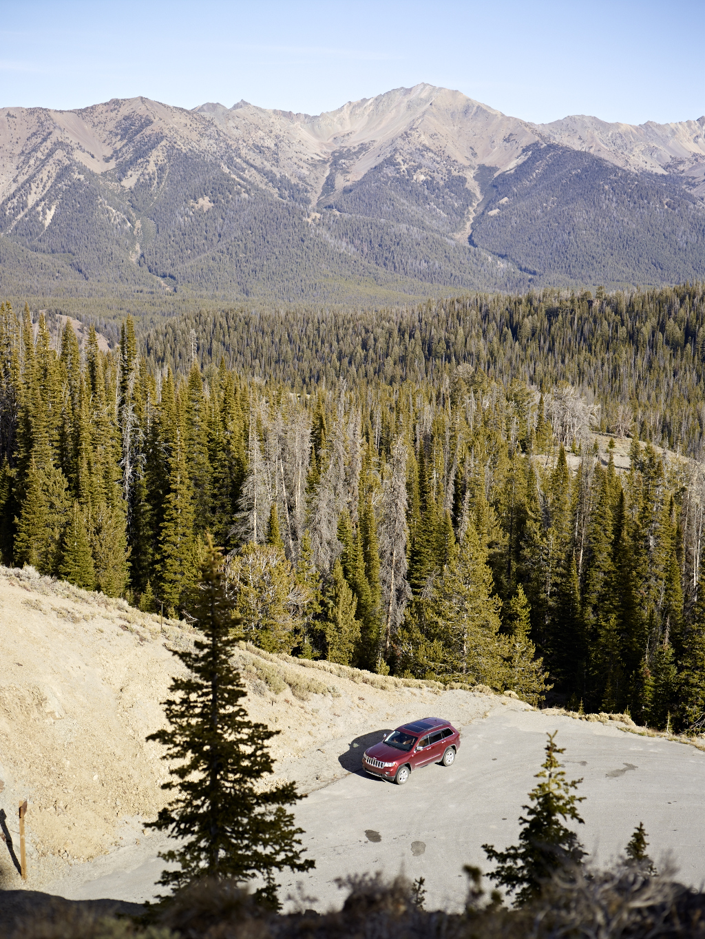
Similar to our approach with Castle Peak, Kyle and I arrive and leave the trail-head about 18 minutes before sunrise. Although Sun Valley has been home full or part time for approaching 30 years, I reveal the Detroit-er in me as I want to call it White Castle.
Kyle and I find a faint trail on the north side of Galena Summit and work our way through an area that is heavily forested. I really like this section of trees because when viewed from the road across drainage while heading up to the pass from Stanley they look like a impressionist work by Monet. For the first time since hiking early in springtime, the ground is hard from the freezing temperatures.
The sun presents itself as Kyle and I reach our first peak – 9,636. To the right, the Sawtooth and White Cloud mountains are starting to soak in the suns’ rays. Down below – still in shade – is the Sawtooth Valley. The Salmon River (a.k.a. The River of No Return as named by Lewis and Clark) is framed by the red tinges of Arctic Willows no longer bearing leaves. My eyes follow the Salmon River back to its source one drainage over. I think fondly back to my solo adventure in mid September when I hiked to the headwaters of the Salmon.
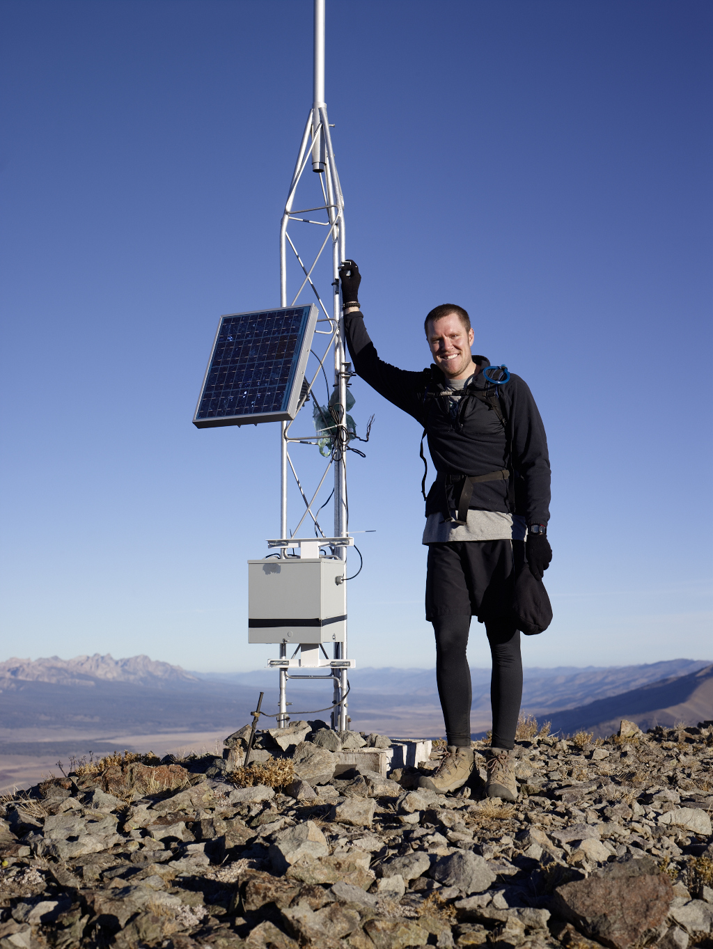
Next up is unnamed peak – 9,921. Kyle and I follow the ridge-line. To our left, some 1,100 feet below is Titus Lake. The lake and peaks are named after William Titus a member of the 1915 USGS Survey party. After reaching peak 9,921 Kyle and I descend a few hundred feet and then back up towards the next goal – Lower Titus Peak (10,005). We follow a faint trail and stay on the ridge-line. The trees are now all but gone and the going is mostly cross-country. The sun is out, but the slightest of breezes and low temperature keeps things feeling brisk. Lower Titus Peak has an object on top that clearly looks like a NOAA weather station. After arriving on top our assumption is proven correct. I ask Kyle to give his weather forecast.

Next up… its Kyle with today’s AccuWeather forecast. The Sawtooth Mountains and Thompson Peak are in the background on the left.
In the distance is our next goal – Titus Peak (10,110). To get to Titus Peak, Kyle and I descend about 500-600 vertical and then scramble up and over a number of smallish crags and rock towers. This is our first taste of some route finding. The going is straight forward. We arrive at what we initially think is Titus Peak, but the summit is a quarter-to one half mile away. Kyle and I move on using a nice pace and quickly reach and confirm Titus Peak by the geological marker.
Next up is Bromaghin Peak (10,225). It is located south and west of Titus and is named after Captain Ralph Bromaghin a ski instructor at Sun Valley and member of the 1oth Mountain Division of the US Army who gave his life on our behalf in World War II. To reach the peak, Kyle and I need to drop 500-600 feet on the ridge line and then ascend to the summit. The effort to reach Bromaghin is slightly more demanding but very straight forward and enjoyable as the hand and foot placements are on average very secure. Bromaghin is a big block and quite a bit craggier than Titus but appears to be somewhat less than Saviers.
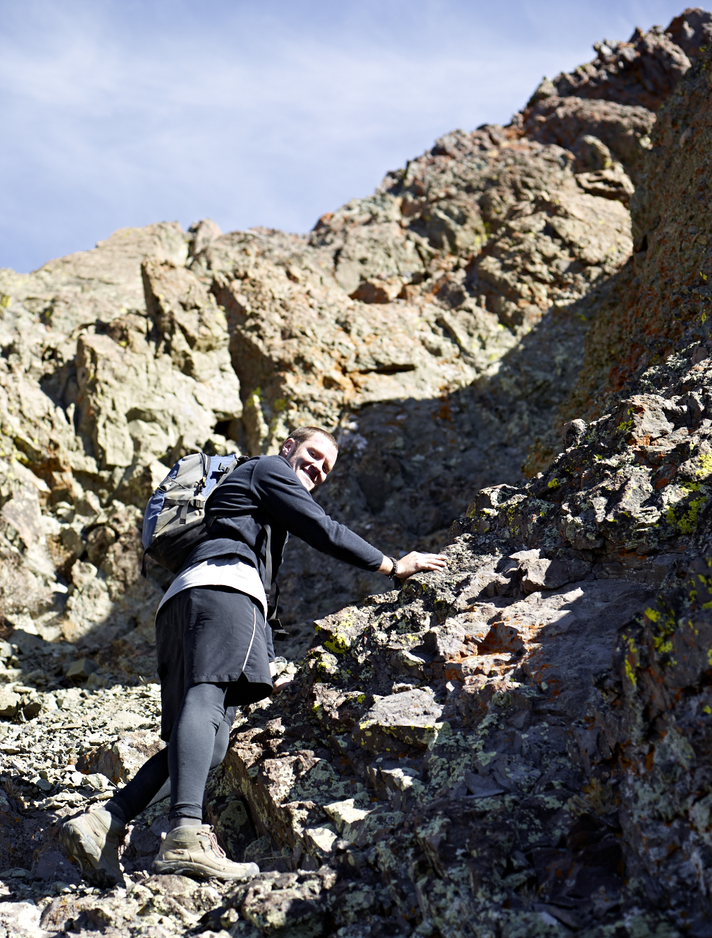
The route from Bromaghin to Savier’s includes the same kind of drop and ascent Kyle and I have have experienced on the route to this point. Also, there is a smallish unnamed peak – 10,182 between Bromaghin and Saviers. In reality there are a number of towers to go up, over and down before reaching the saddle area. From the saddle a significant amount of towers will also have to be dealt with on the route up to the eventual summit of Saviers Peak. All of this stretch involves classic class 3 route finding. My experience is that if you are patient, the trip is really fun to experience with a teammate. On the route down to the saddle from Bromaghin Peak, Kyle and I stay, for the most part, on the left edge of the ridge-line. The drop off on the left is precipitous, with a quick fall of 1,500-2,000 vertical feet. However, the footing is really good. The drop to the right is not as significant, but is made up of the dreaded scree. Once down to the saddle we head up to Saviers staying on the right edge of the ridge-line. Kyle and I encounter about six significant towers that we must climb up and then over and down. On the fifth tower Kyle determines, that an ascent will leave us with a class 4-5 route to the top. We decide to descend down into the dreaded scree and traverse – staying as high as possible. The route to the summit becomes clear to us and we reach the summit with relative ease.
On the summit of Saviers all five mountain ranges and the peaks we have summit-ed are easily within view. Kyle and I find a nice spot just over the summit facing to the south the offers the warmth of the sun. After lunch we pack up and head back using the same route. Heading back over the same peaks is quite enjoyable. To our surprise the total time including one-half hour for lunch and an hour of photos is a little less than eight hours.


