The Wapiti Fire of 2024 consumed over 129 thousand acres of the Sawtooth National Forest in Idaho.
As the lighten created, wind driven fire progressed, my house and the entire town of Stanley were in line to be its victim. A last chance backfire was started by the firefighters of the United States Forest Service on FS Road #619. My home is surrounded by the Sawooth National Forest. My property line is the Sawtooth National Forest. The starting point of the backfire was just behind house. The backfire worked, acting as a last line of defense, and helping to save my house and the town of Stanley.
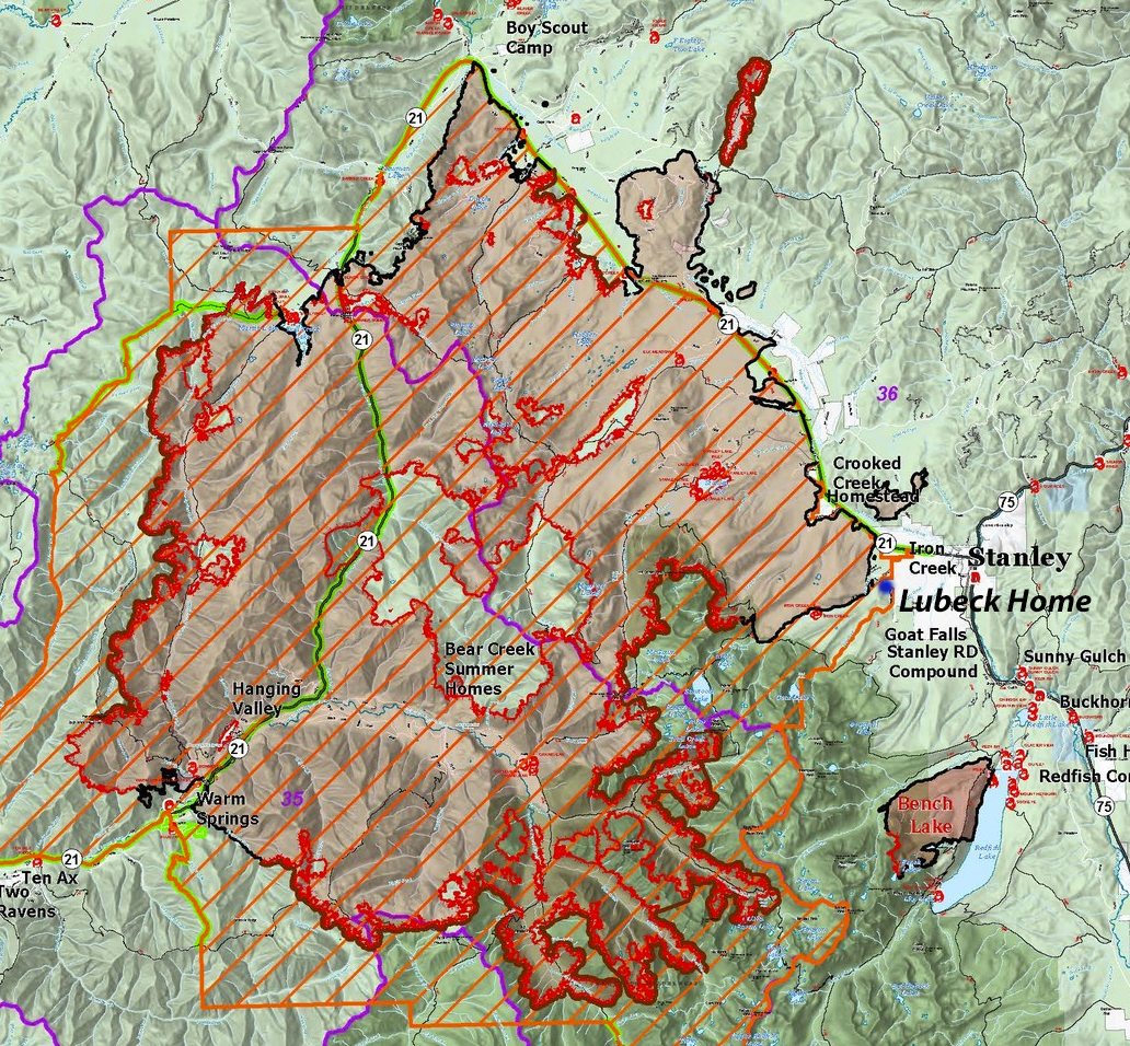
Wapiti Fire map as of 10 2024
A Mid Winter Check on the Implications of The Wapiti 2024 Fire
I decided to take a look at the implications of the fire as it relates to the nearby landscape in February (2025). I chose to visit three spots a number of times.
- Park Creek Area (West of Stanley)
- Forest Service Road #619
- Goat Creek Basin
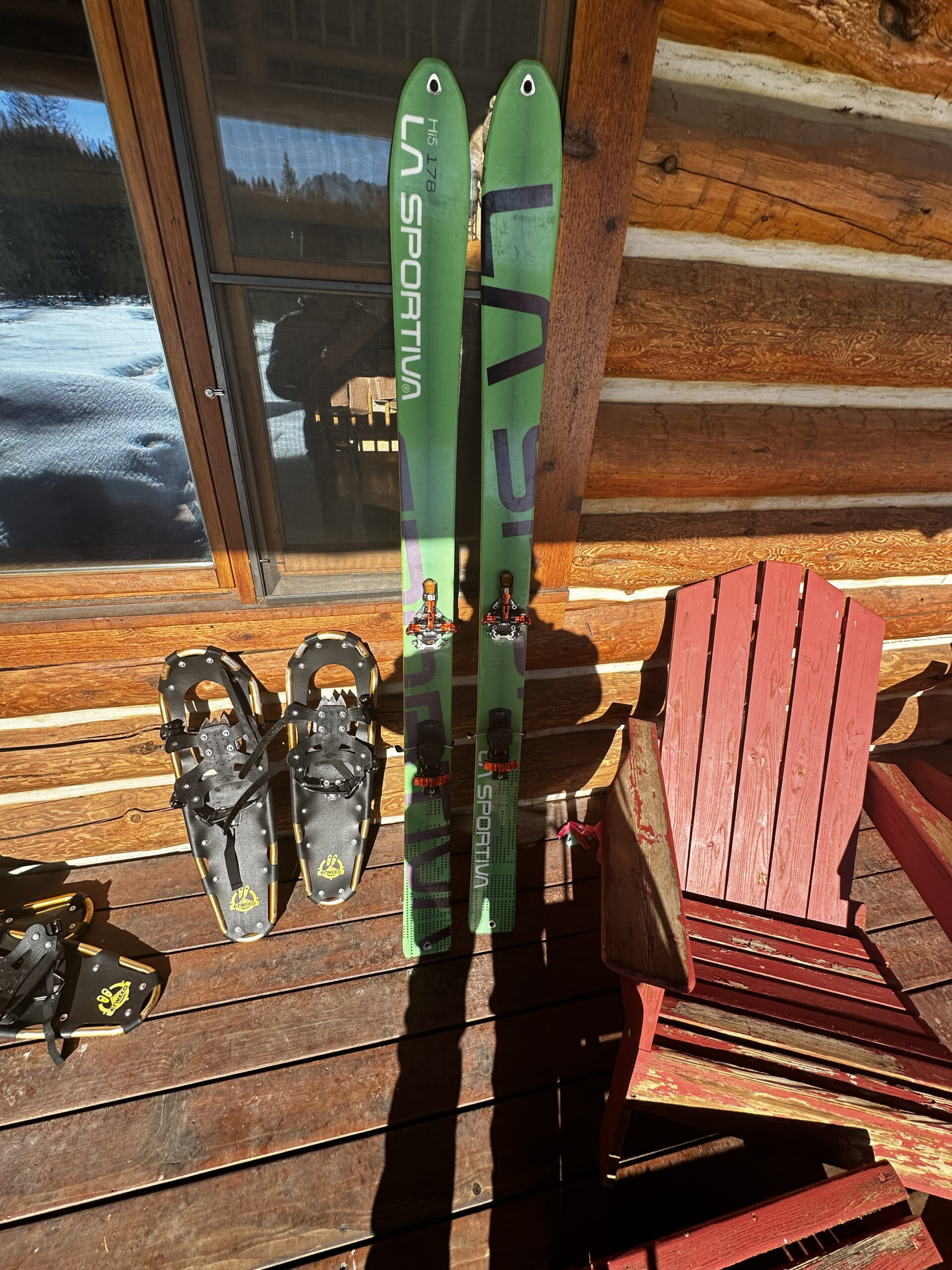
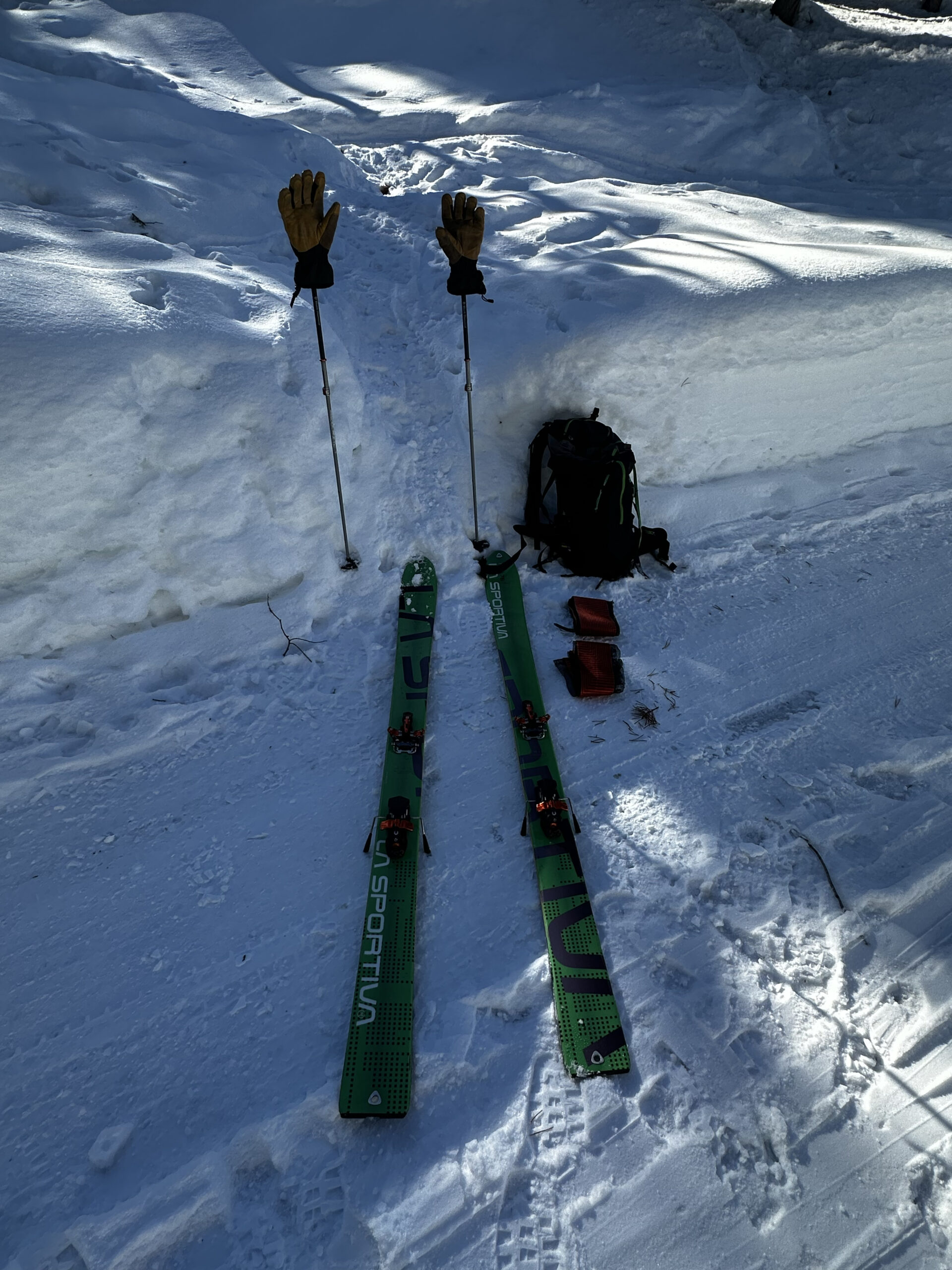
I visited each of the areas multiple times on Snowshoe, Back-country Cross Country skis, and Alpine Terrain (AT) Downhill skis.
Each of the trips would involve covering 6 to 10 miles on snow. The Park Creek Area is the only trip requiring travel by vehicle.
  |
 |
 |
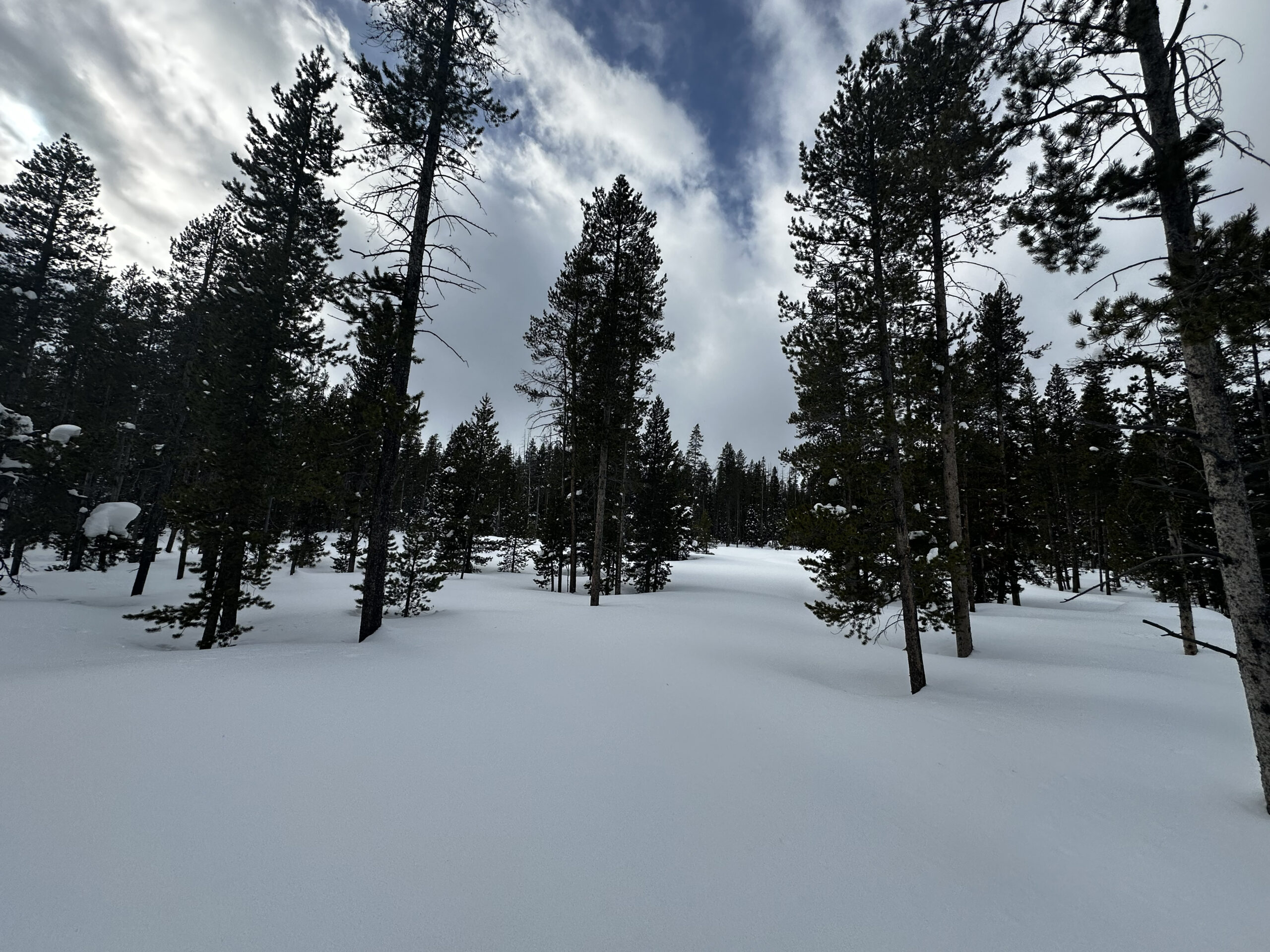
Park Creek Area
The Park Creek drainage received the unfettered brunt of the Wapiti 2024 Fire. The Park Creek Overlook Cross Country ski area used to be blanketed in Lodgepole pine. Three recent fires, Dry in 2015, Elk in 2021 and Wapiti 2024 have wiped out most of the trees. The Stanley community creates and maintains some of the best cross-country skiing that can be had in the region. The fire did not stop the community from creating the normal cross country ski routes.
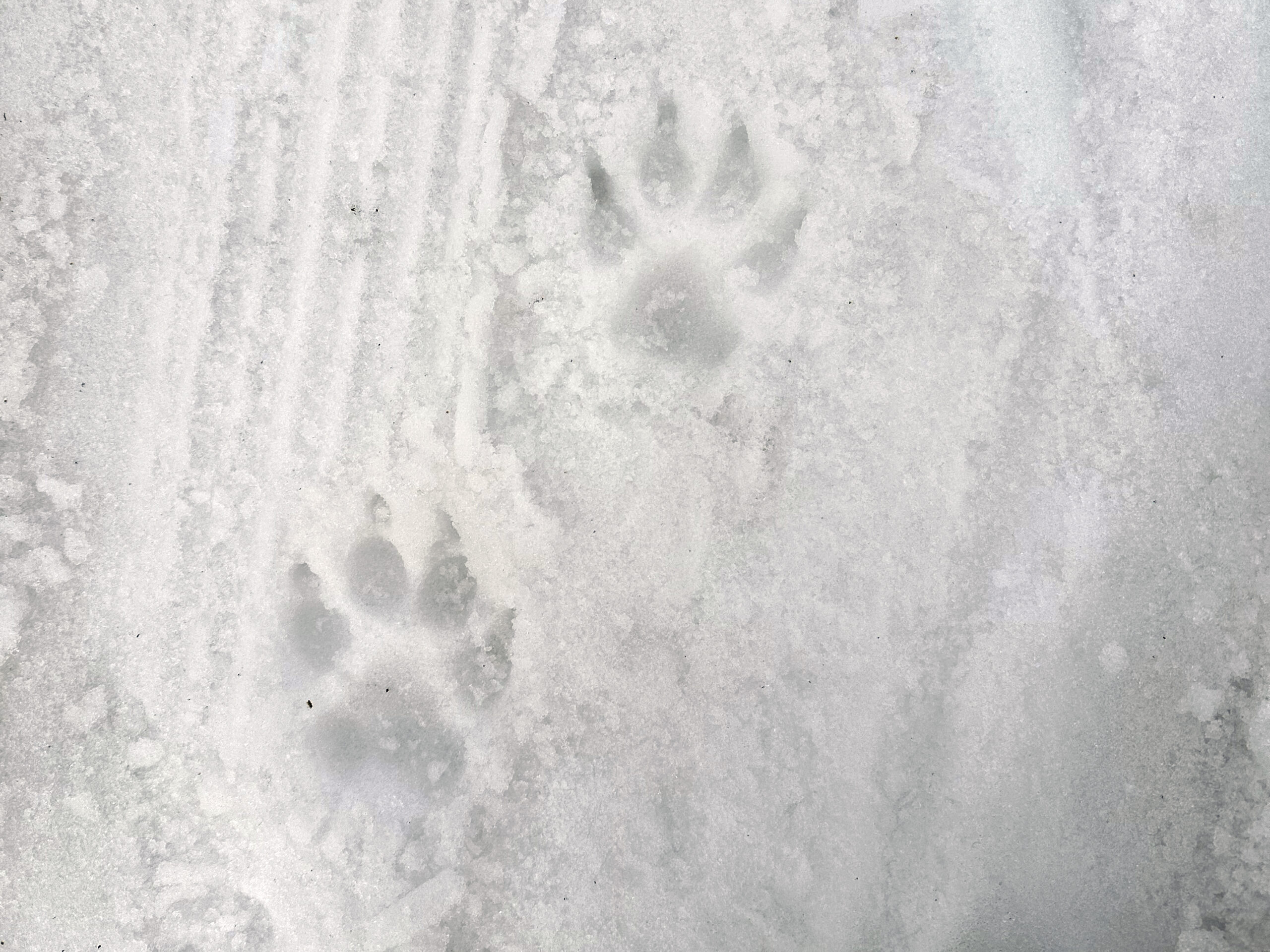
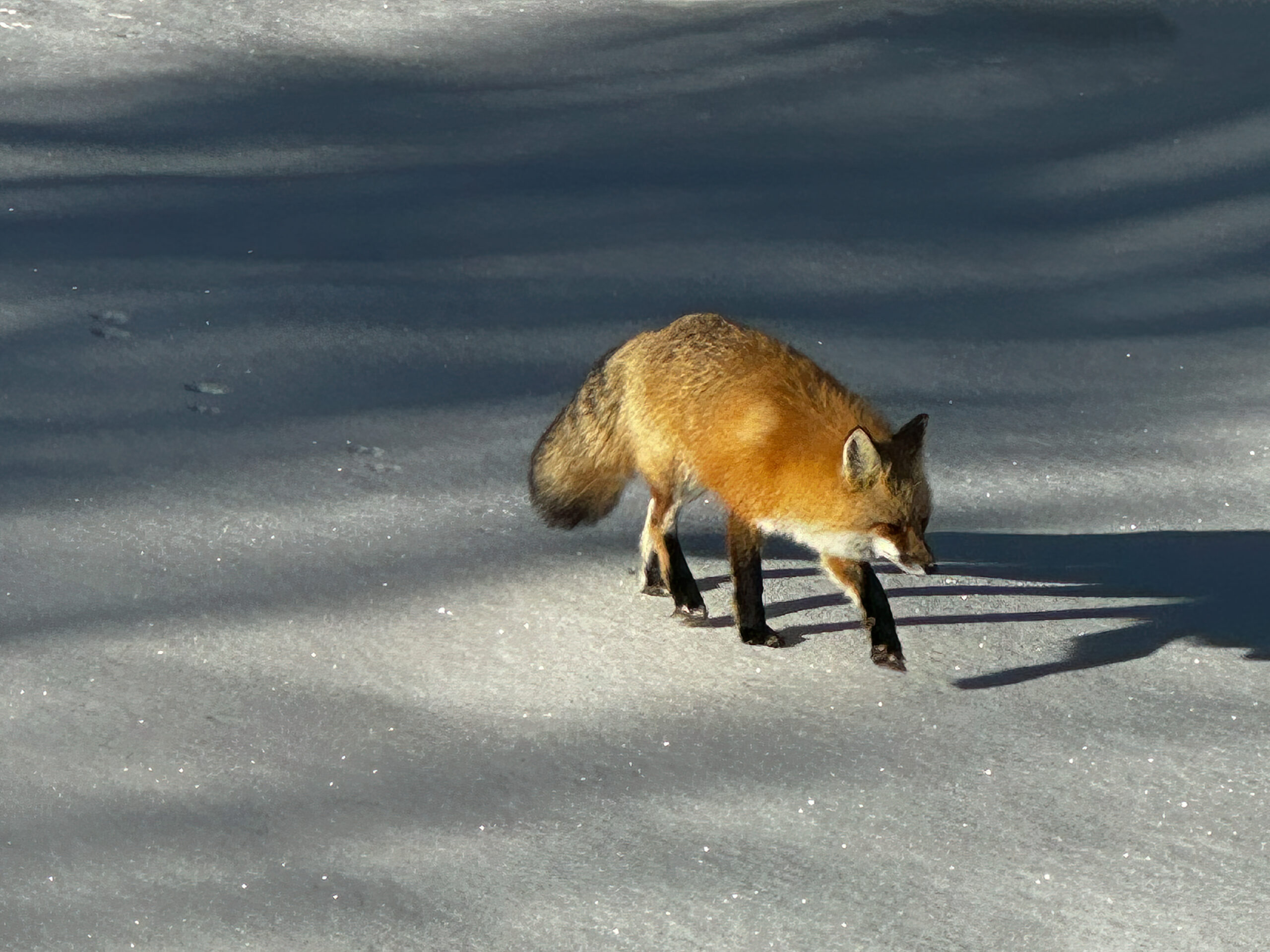
Bear appear to be using the course for exercise.
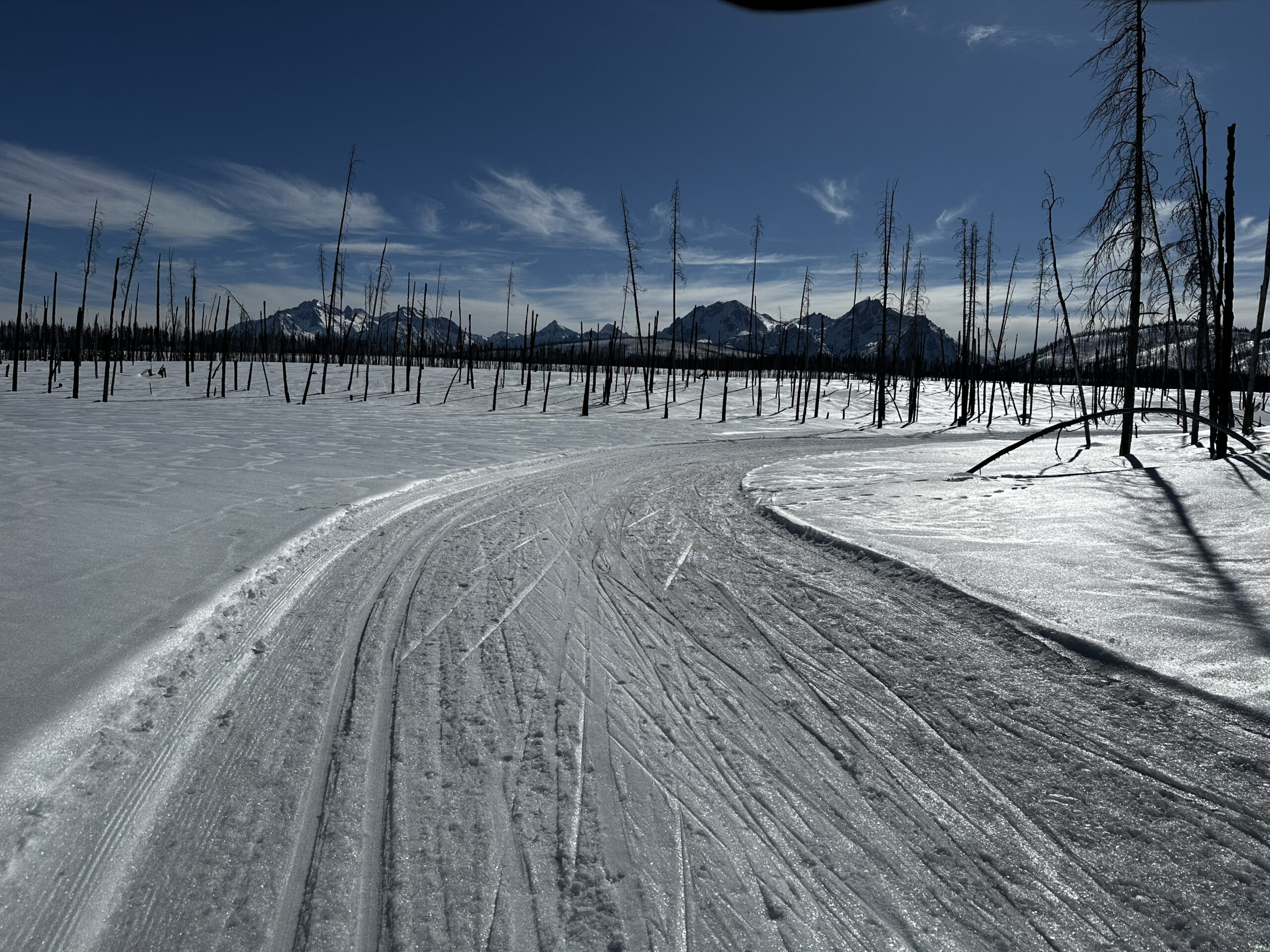
Sawtooth’s from the start of the Camas Loop.
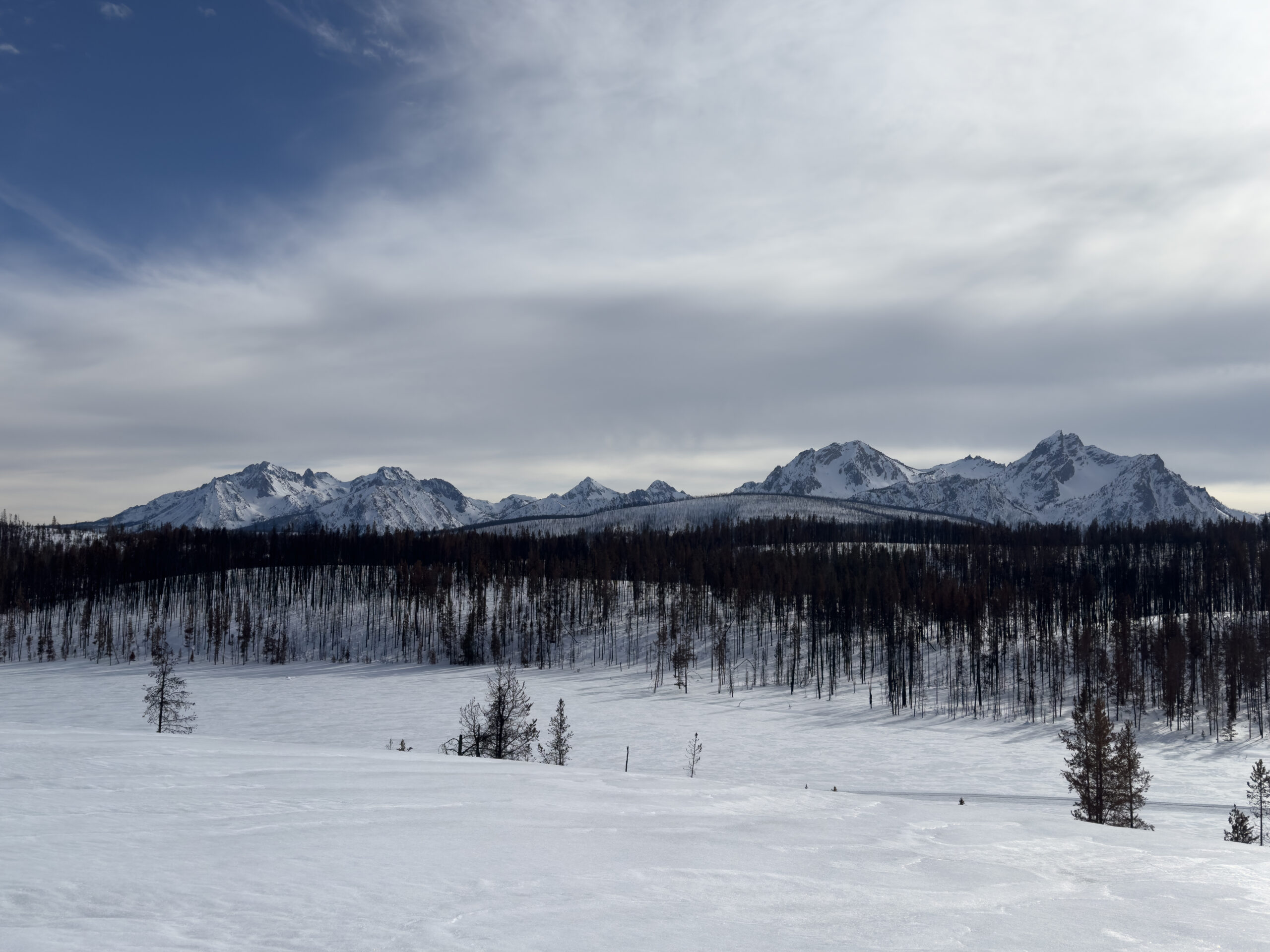
Sawtooth’s from the top of Skyrocket with Park Creek below.
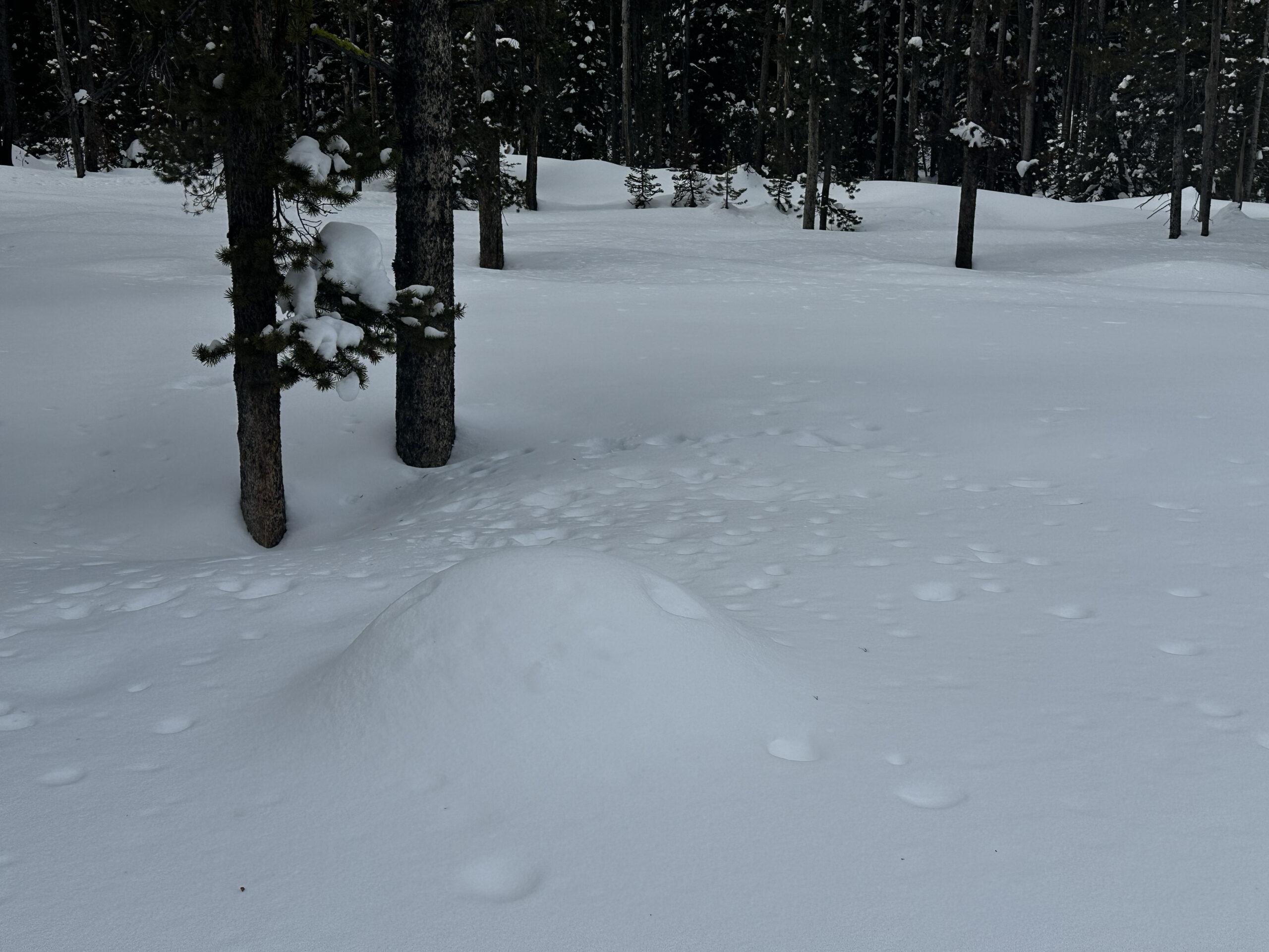
Goat Creek Basin
The Goat Creek Basin is a trail-less drainage with no direct access. The world famous Goat Lake and Goat Falls (accessed via Iron Creek Trailhead) sit 2,000 feet above the basin. The successful back-burn spared this area from the Wapiti 2024 fire.
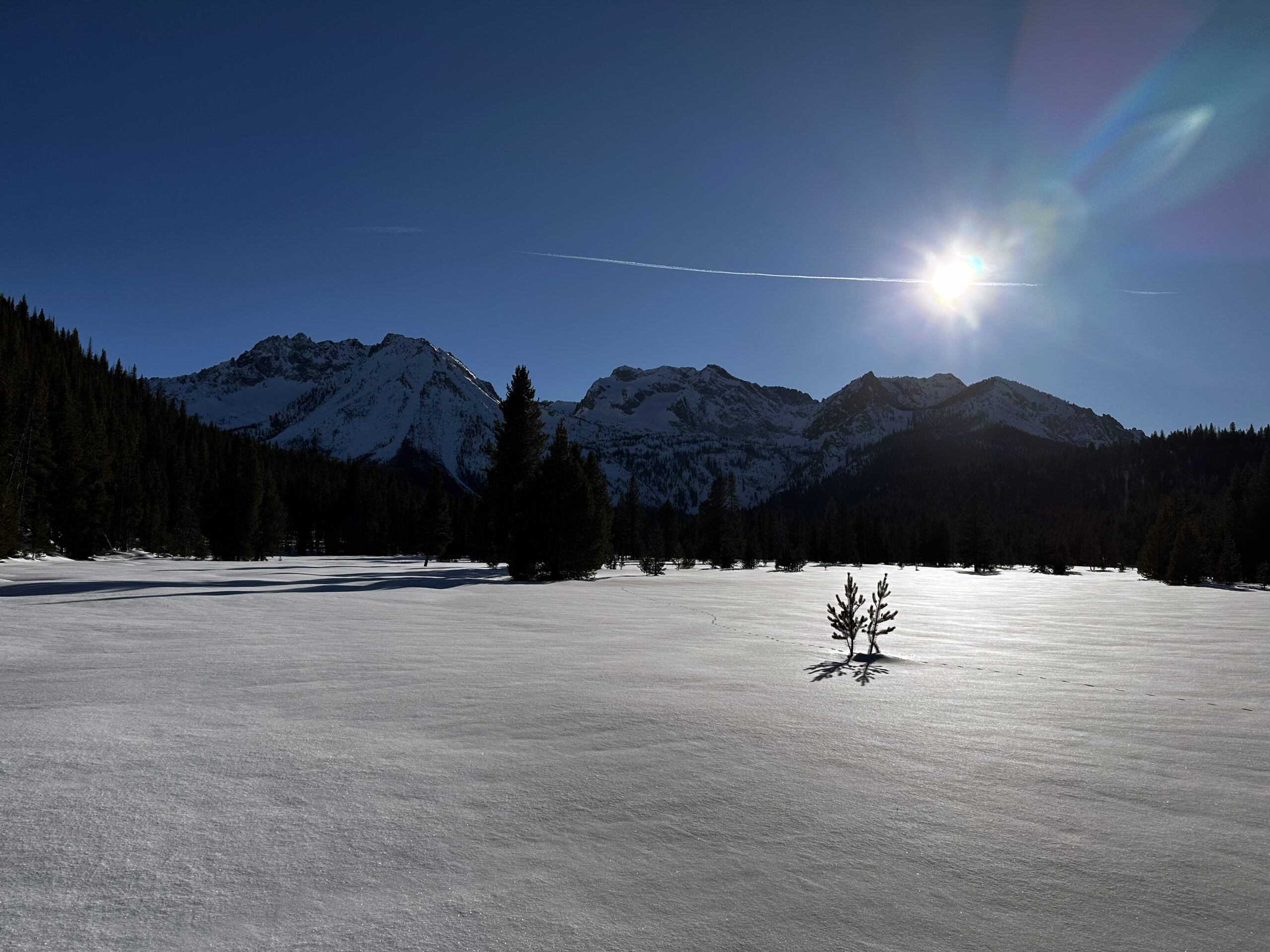
Goat Creek Basin and Meadow
Ruby’s Grand Daughter on a mid-winter trip
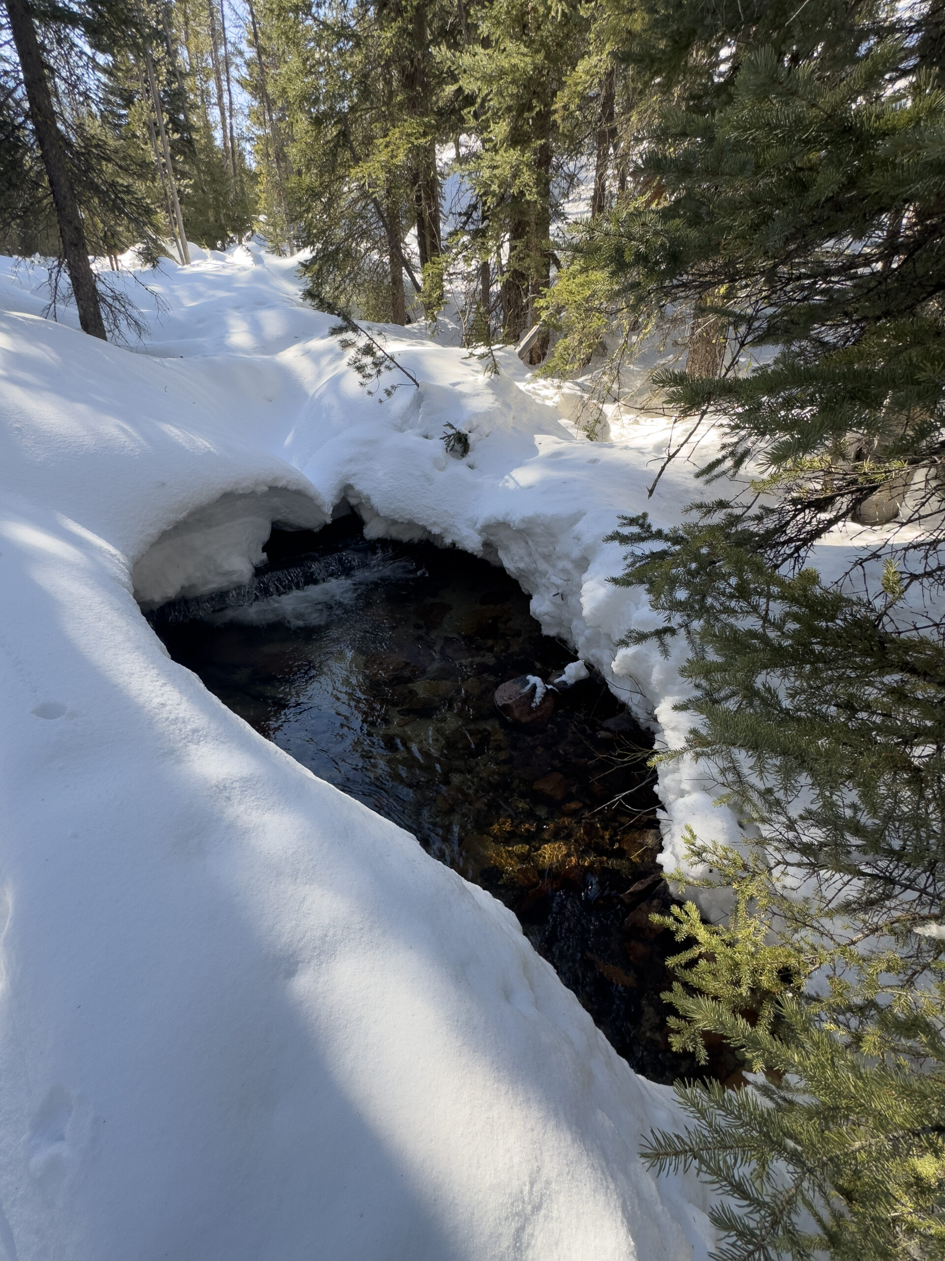
Goat Creek
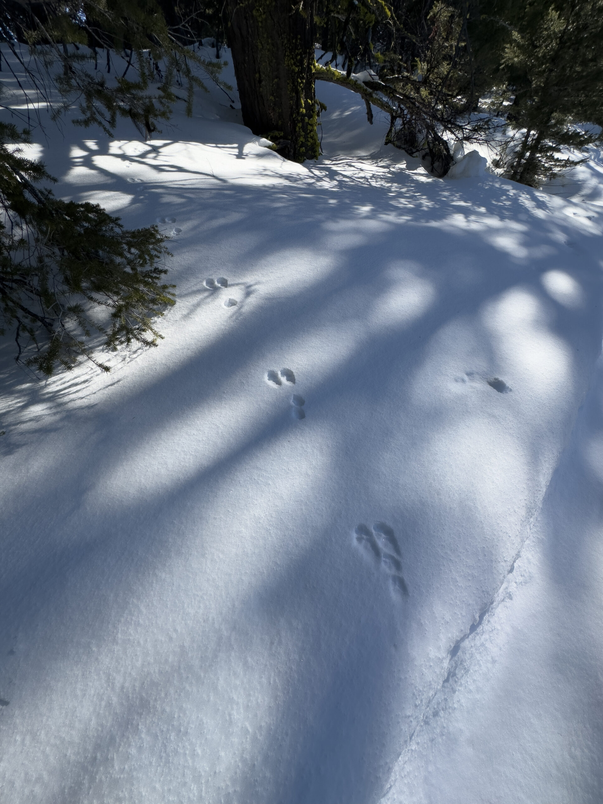
Evidence of snow-shoe hare travel on Goat Creek Ridge mid-winter.
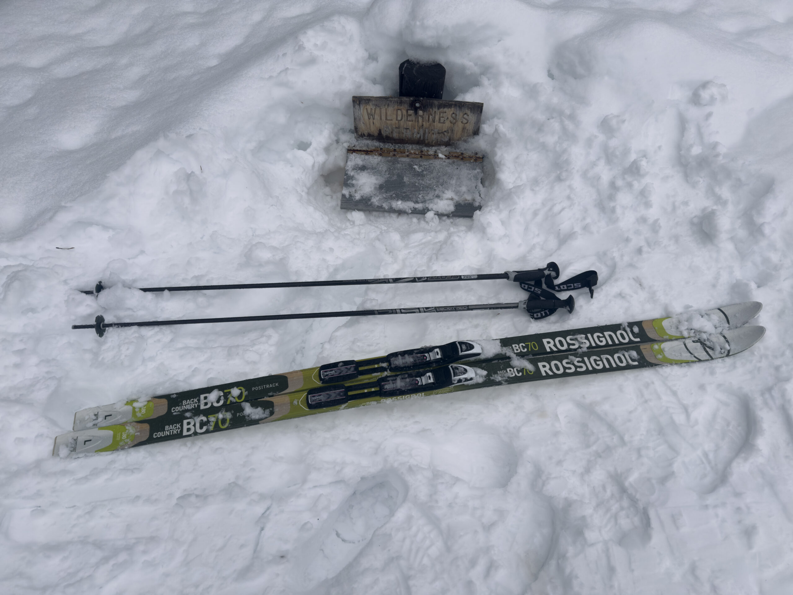
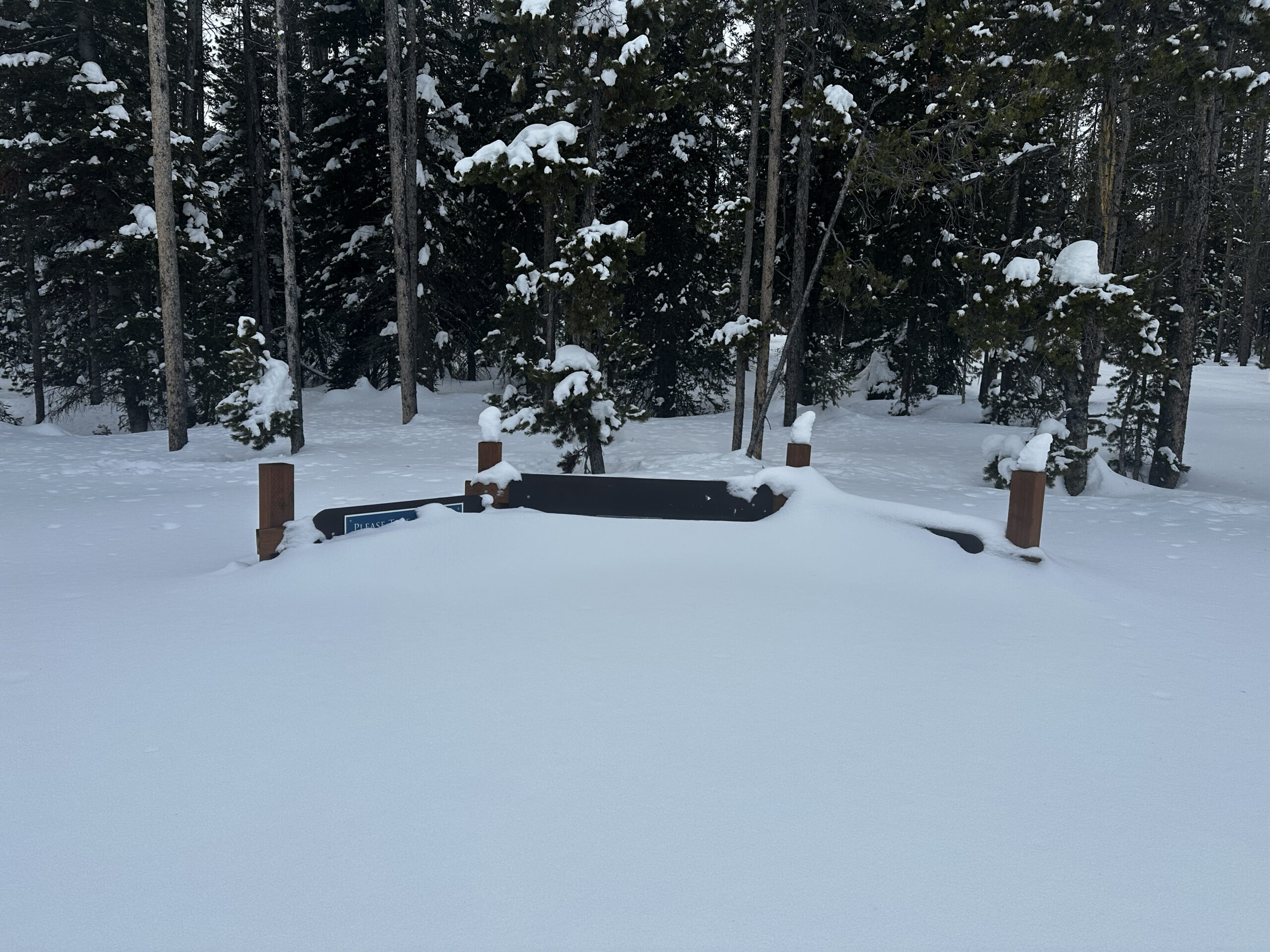
Forest Service Road #619
Travel via Forest Service Road #619 to the Wilderness Sign-in from my house is 6.45 miles round-trip. The back-burn was started at about 1AM when the prevailing winds were south-east to northwest. The intension was for the burn to work its way back into the approaching fire, staying on the north and west side of the road and Iron Creek.
The plan worked to great effect. A few flares did the opposite and started fires not far from the house. The fire crews put out these fires quickly.
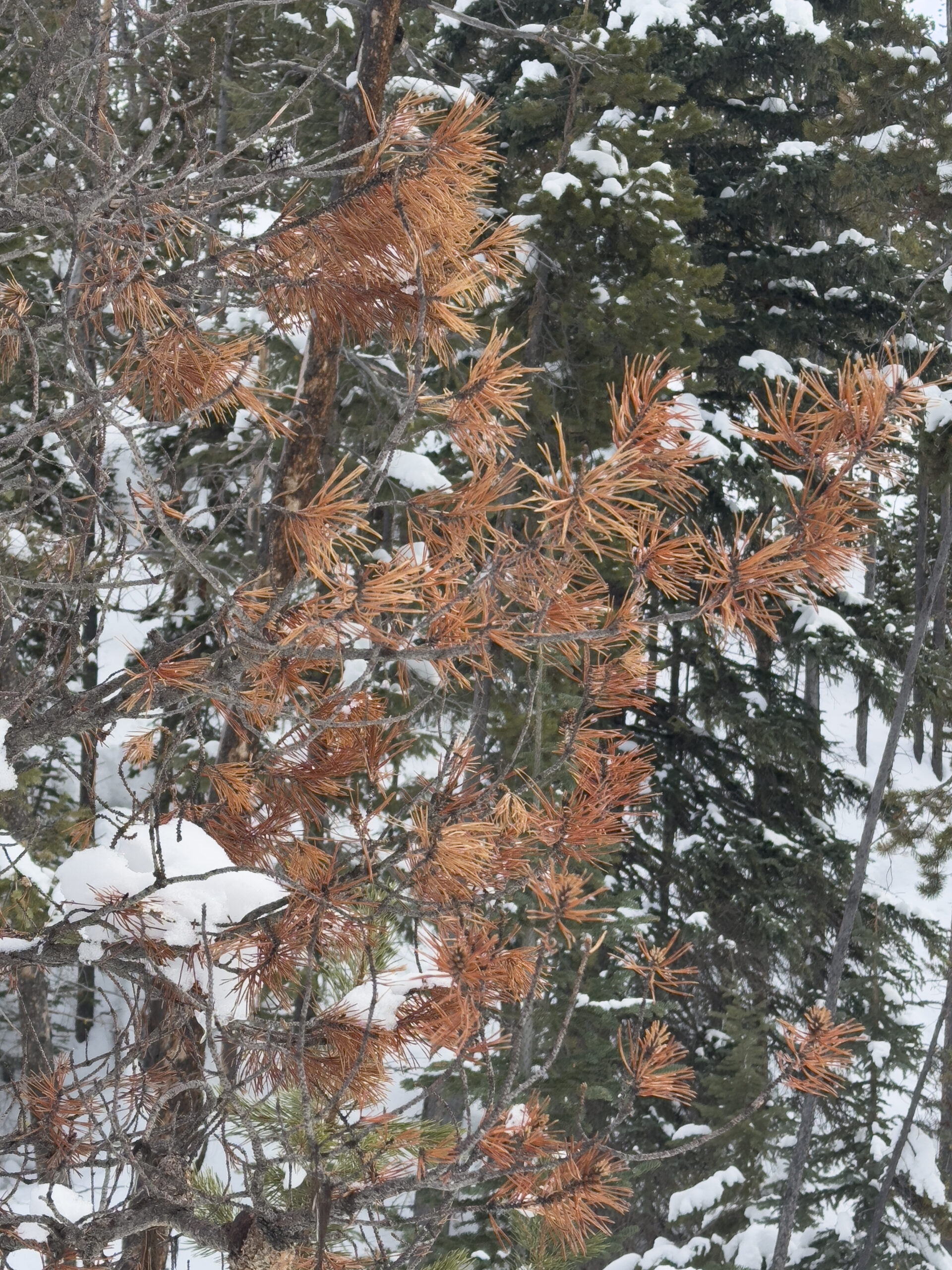
A burned tree on FS #619
The results of the back-burn are visible from State Highway 21. After covering the route a handful of times, I would say the burn left more untouched than I expected. No area along the route seemed more that 35% burned. Many sections appeared to be untouched.
The Iron Creek Trailhead appears to be untouched.
Iron Creek Trailhead area (under 9 fee of snow).
The tops of the signs at the Trailhead are 10 feet in height.
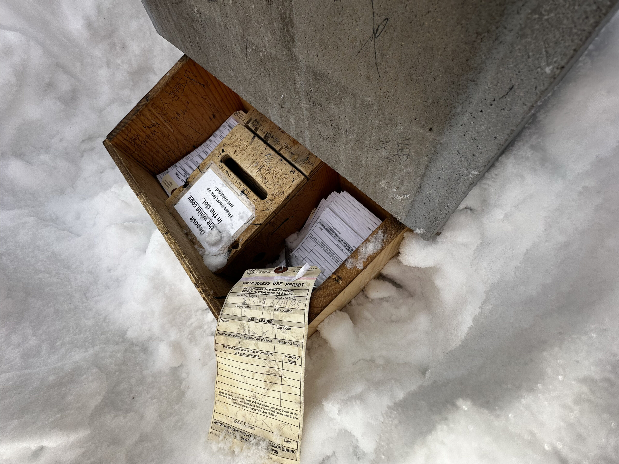
The Wilderness sign-in box is 3 feet below the top of the snow mound.
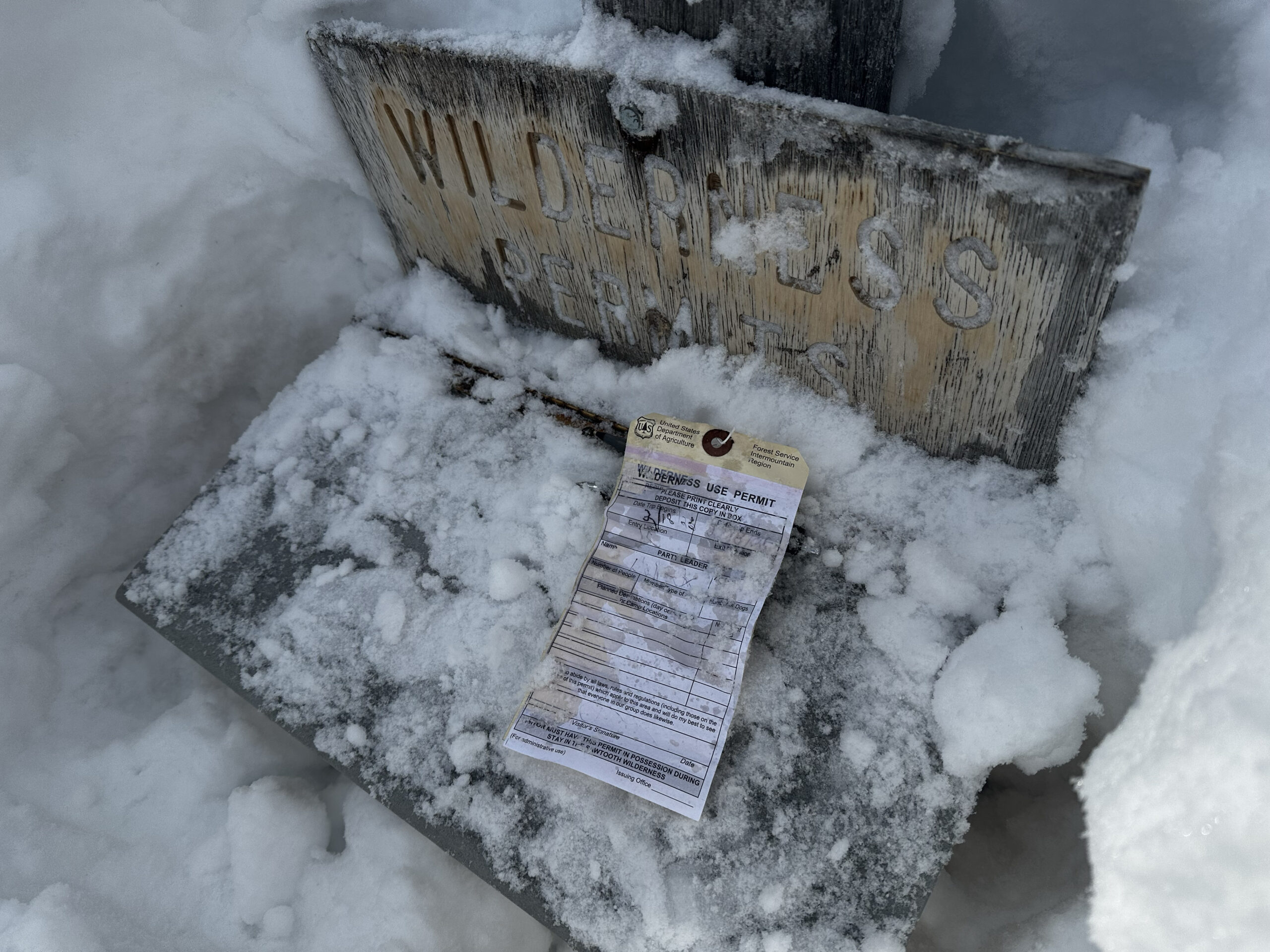
I made sure to sign-in.
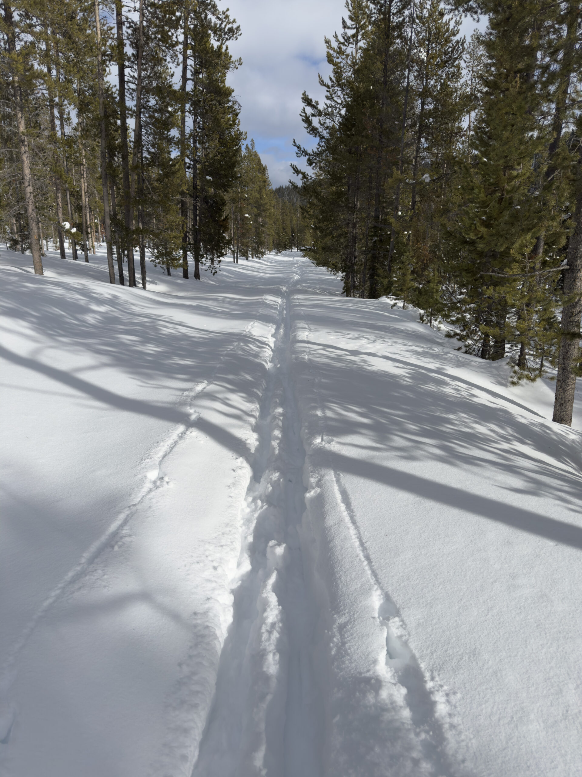
USFS Road #619 about 5 miles from Idaho State Highway 21.
*** Jeff’s Thoughts and Other Worthless Trivia ***
Information and background on the Wapiti Fire is [here].
Most of forest you see my Post located [here] was burned in the Wapiti 2024 fire.