The view from Kilohana is like few in the world. The opportunity to observe all the majesty it offers is rare. Why?
Well… to begin, Kilohana on the Hawaiian island of Kauai in the United States sits in the middle of a region that is considered one of the wettest places on earth. The region holds the official record for the most rain recorded on Earth in one year (Mount Waialeale, 666 inches in 1982). The average annual rainfall for the last 20 years is 460 inches. Waimea town 16 air miles away (down the Waimea Canyon on the Pacific Ocean) averages 10 inches a year. Between the two spots the elevation changes more than 5,200 vertical feet and involves seven different climate zones.
Secondly, the route to Kilohana requires traversing of the Alakai Swamp. The Alakai is the highest elevation swamp on earth.
Third, and probably the most challenging issue is traveling up the canyon from Wamiea town to the Pihea Lookout Trailhead. State Highway 550 is not the problem. It is paved the entire distance and in good condition almost throughout. While quite curvy and the speed limit is set at 25 MPH; there are no dangerous sections – except for Kauai chickens operating as if they own the road. The issue is the views. The 20 miles of road up the canyon is as scenic as can be had by a commoner. On 2nd thought, I will take that statement back. I will include Royalty, Elected Officials and, Social Media Influencers. You are a more disciplined person than I if you can travel up the canyon without stopping for a view (or five) of the Grand Canyon of the Pacific on the right and the Koke’e Mountains and the Na Pali Coast on the left. In short, weather change as to relates to achieving the principle goal is always an issue. Any delay could prove materially harmful to reaching Kilohana.
The Route
The route out and back is 8 miles in length. It involves about 2,100 vertical feet of loss and gain. Most of the loss and gain is realized 50-250 feet increments. Pihea Lookout sits at 4,020 feet and Kilohana sits at 4,040 feet. In short, there are a series of ups and downs required in order to register 2,100 vertical feet of gain.
The trail is highly observable and at no point does it dissolve in to being faint or unrecognizable. While not particularly well signed the only less than obvious point on the trail is where the Pihea Trail takes a hard right (mile 1.1). It is presently marked by some blue\white ribbon on a large tree in the center of the trail. If you stay to the left of the tree, the trail heads a short but steep distance up to the summit of Pihea Mountain. The view at the top is worth the effort. If you veer to the right, the trail drops quickly towards its junction with the Alakai Swamp Trail (mile 1.7 or 2.0 if you have ventured to the summit of Pihea Mountain and back). From the (well marked) junction of Pihea Trail and Alakai Swamp Trail it is 2 miles to the Kilohana Lookout.
Make sure to make the effort to take in the surroundings. They are varied and one-of-a-kind. The journey – on this hike – is as rewarding as the destination.
The Trail bed
The trail bed is tricky at best, and treacherous and dangerous at worst. Its condition and hike-ability is highly dependent on current and recent weather conditions. Regardless, this trail and route is not to be covered by a hiker who is completely dis-engaged and not aware of the surrounding conditions. In short, auto-pilot should not be an option on this hike.
In good weather with no recently inclement days, the trail is fun and varied. The ridgelines are easy to navigate. There are number of sections where the trail (up and down) has a short and steep burst of change through an amalgamation of tree root, rock, and volcanic mud. To navigate successfully requires some simple route choices, balance, and well placed foot placements and hand-holds. My recommendation in these sections is to SLOW-DOWN in order to speed up.
The section of the Pihea trail heading towards the junction with the Alakai Swamp Trail involves the most change in vertical. Remarkably the trail bed has been re-engineered (for the most part) with a new elevated board-walk. The result is rather astonishing. There are some serious elevation changes and this boardwalk might be better engineered and easier to cover than the stairs at-home or at work. In some spots you will be rewarded if you have spent significant time on a Stairmaster or taking the stairs in buildings you visit.
The swamp portion is a swampy as its U.S. counter parts in the South Eastern United States. The boardwalk is as welcome as a close friend.
If the weather is and or has recently been inclement the choice to take this hike should be made with the greatest of care with a healthy dose of honest assessment as it relates to your skill-level in the back-country.
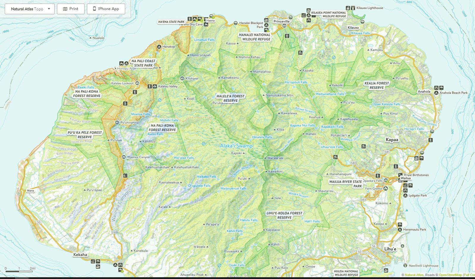
Maps (courtesy of Natural Atlas)


Images
Breathtaking
Wow!!!