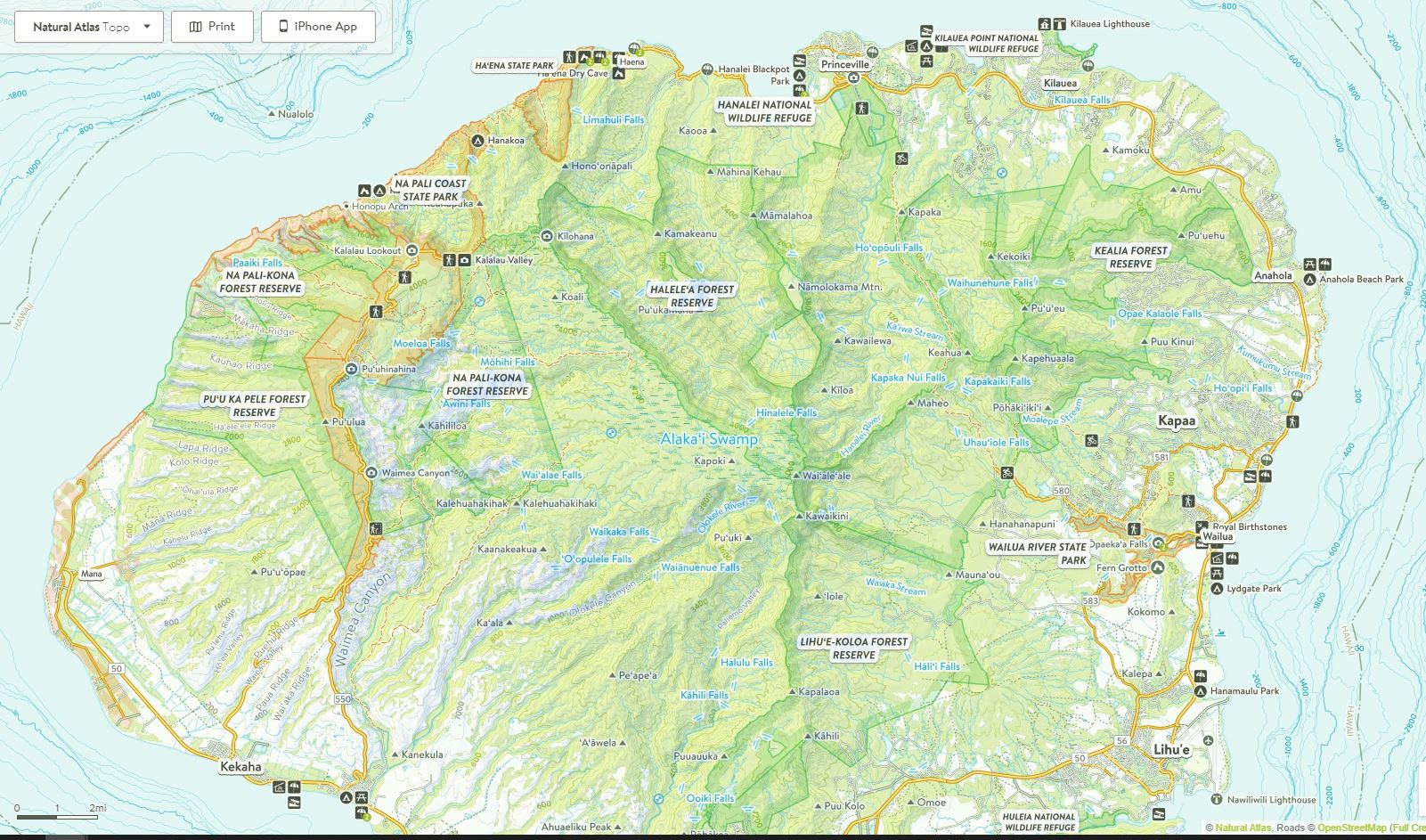
The Alakai Wilderness on the island of Kauai is a fascinating and confounding place. It is a region of the island that is isolated from larger human population centers and is somewhat difficult to reach. Within the Alakai Wilderness there is a collapsed Volcanic Crater (sacred ground to native Hawaiians), The wettest spot on earth, the tallest mountain on the island, the highest elevation swamp on earth, some of the most magnificent water falls on earth, canyons 3,500 feet deep and high alpine desert. All are located within 20 air miles of the Pacific Ocean.
This story is not about the Alakai Swamp area, which I have written about previously [here]. This story is about the high elevation areas of the Alakai Wilderness that overlook the swamp. Eventually The High Alpine region enjoins the swamp just below the rim of the crater of the collapsed Volcano (Mt. Wai’ale’ale).
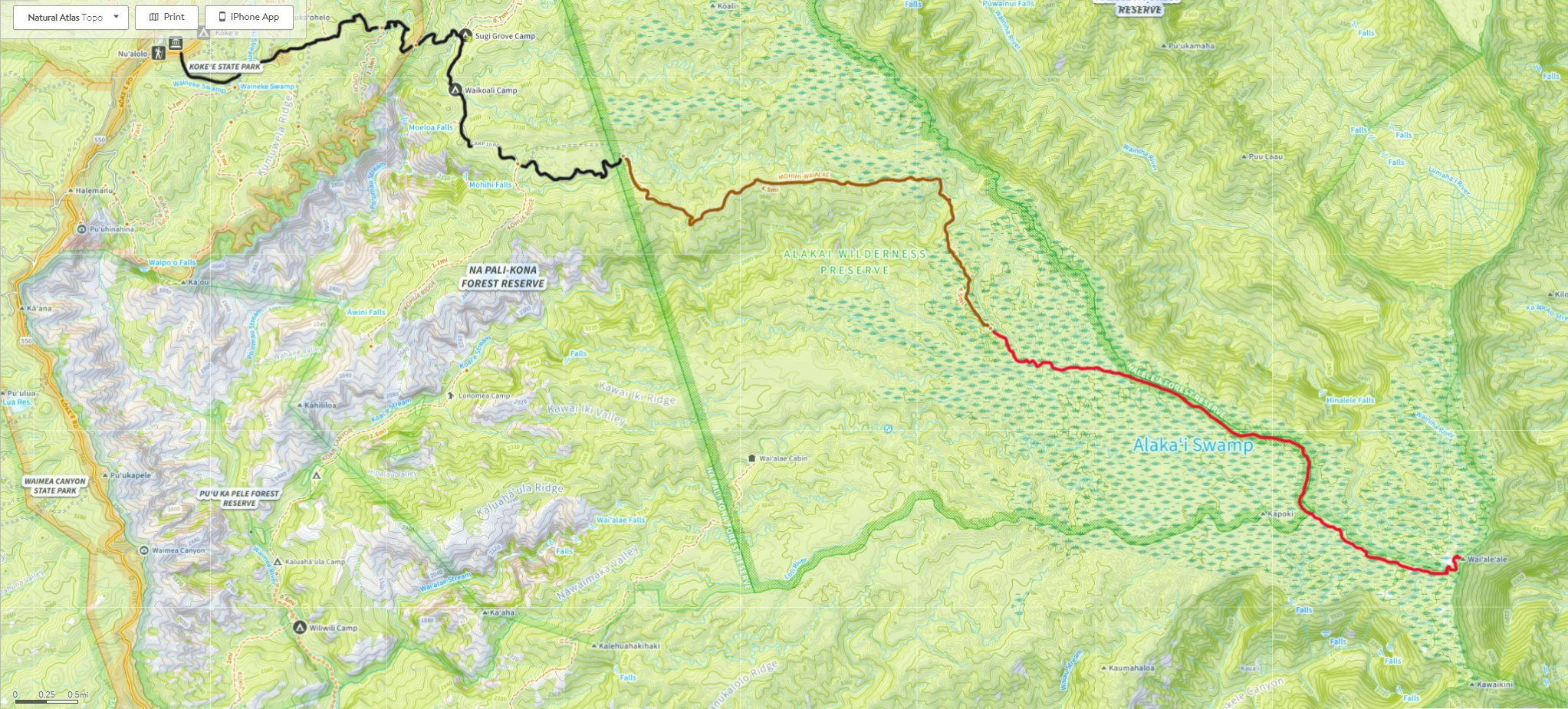
The high elevation areas of Alakai Wilderness are accessible via the Mohihi Camp 10 Road. The Mohihi Camp 10 Road is accessed via Highway 550 (The Waimea Canyon Road), 15.6 miles from its start in Waimea Town. The Mohihi Camp 10 Road is 5.8 miles in length and is a rough 4-wheel drive, one-lane, steep, stream fording, significant drop-off, could be washed-out at any point kind of experience. I have fallen in love with this road.
The high elevation areas of the Alakai Wilderness on this trip are along the Mohini-Wai’ale’ale trail. The route involves bursts of 50-400 vertical feet of gain or loss that often involve heavy vegetation and a slick trail-bed. The Mohini-Wai’ale’ale trail is 4.5 miles in length. The trail covers ground from the Mohini Camp 10 campground to the Alakai swamp. The remainder of the trip to Mt. Wai’ale’ale is off-trail and through the swamp – 6.5 miles.
Decades ago there was a semblance of a trail for locals to follow and celebrate at the summit. Hurricane Iniki (September 5, 1992) wiped out this trail, damaged or destroyed 14,500 homes and in most respects denuded to island. The top measured wind was 217 MPH Makaha Ridge (no calibration performed). Iniki did not visit long – it passed through in about 40 minutes. However, the State of Hawaii’s Department of Natural Resources decided to build a fence on long stretches’ of the upper elevation to keep feral pigs from destroying the habitat. Luckily, Kauai has no snakes or rabies. However, it does have pigs which man brought to the island to raise and eat. An unintended outcome of the “Pig” fence is there is a stable piece of land bordering the fence to the summit of Mt. Wai’ale’ale. It is my plan to eventually reach the summit.
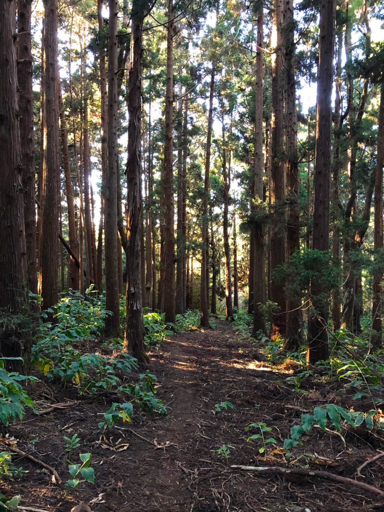
Sugi Tree forest.
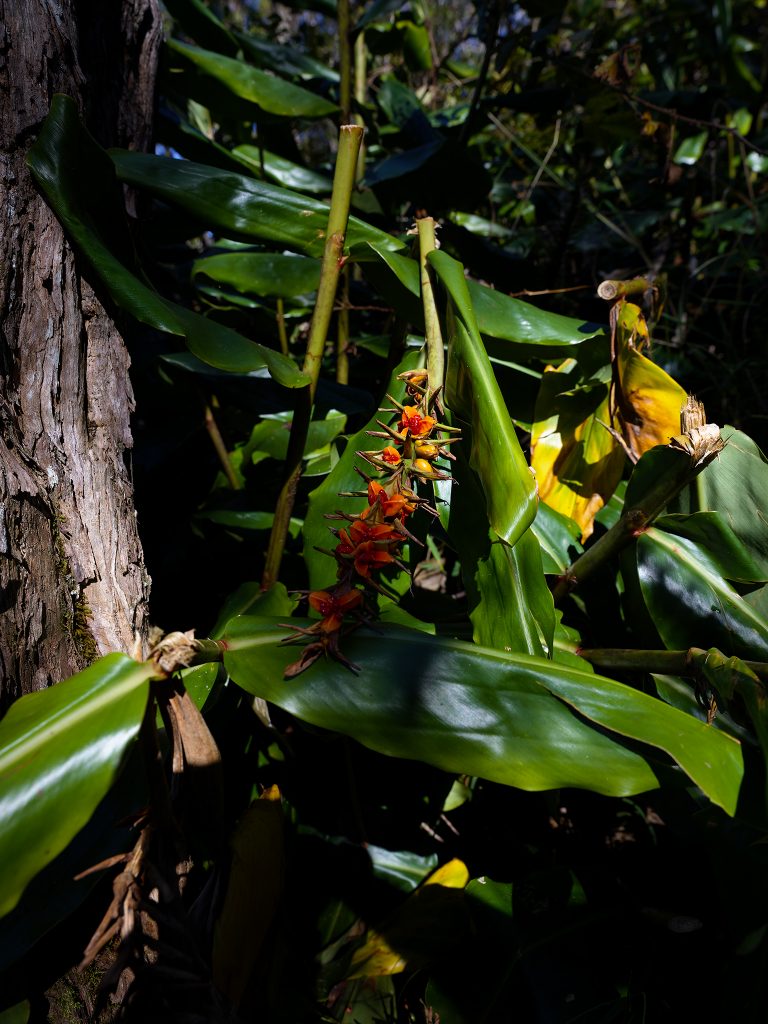
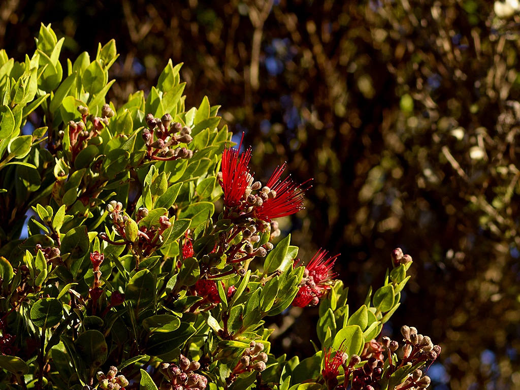
Heavy lush vegetation lines the trail.
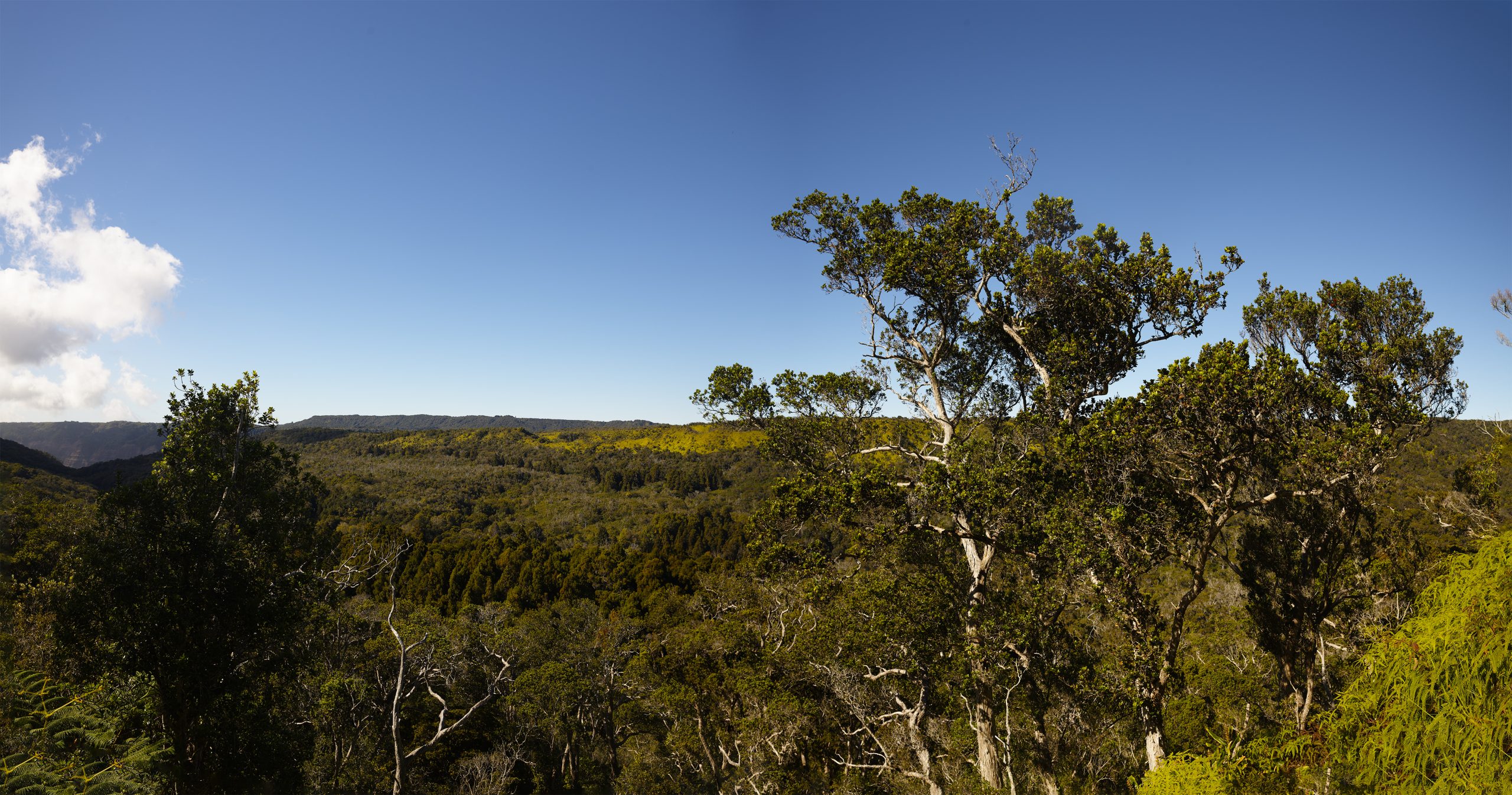
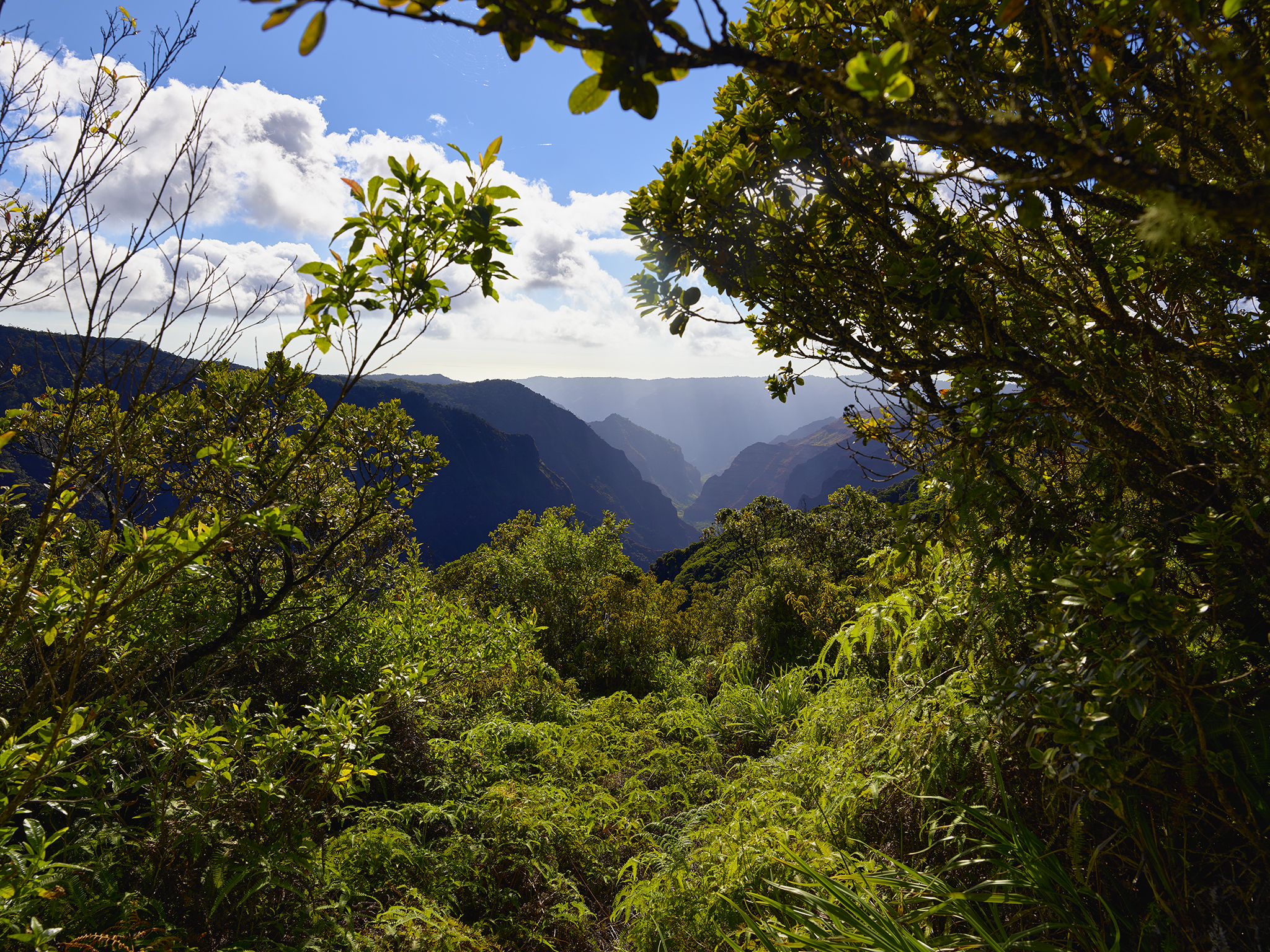
The Koai’e Stream Canyon as seen from the top of the ridgeline of the Alaka’i Wilderness.
— Jeff’s Thoughts and Other Worthless Trivia —
I have been taught by Hawaiians to pronounce Alakai as AL-uh-cuh-EYE-ee. The word means: Leader.
Wow!
Fascinating
Wonderful commentary and photography Jeff! Keep doing what you do!
Art
Amazing adventure! I can’t wait to hear about your summit. And I love try it too! Beautiful photos! Alakai ❤️
Wonderful commentary and photography Jeff! Keep doing what you do!
Art