Finding a hidden gem within a group of larger ones is a delight. The beach towns of Costa Nova and Barra, with the sand-dunes, sparkling homes and lighthouses, are possibly one such discovery. Situated west of Aveiro, a canal city, they are next to each other. An estuary separates them from Aveiro.

The Silver Coast
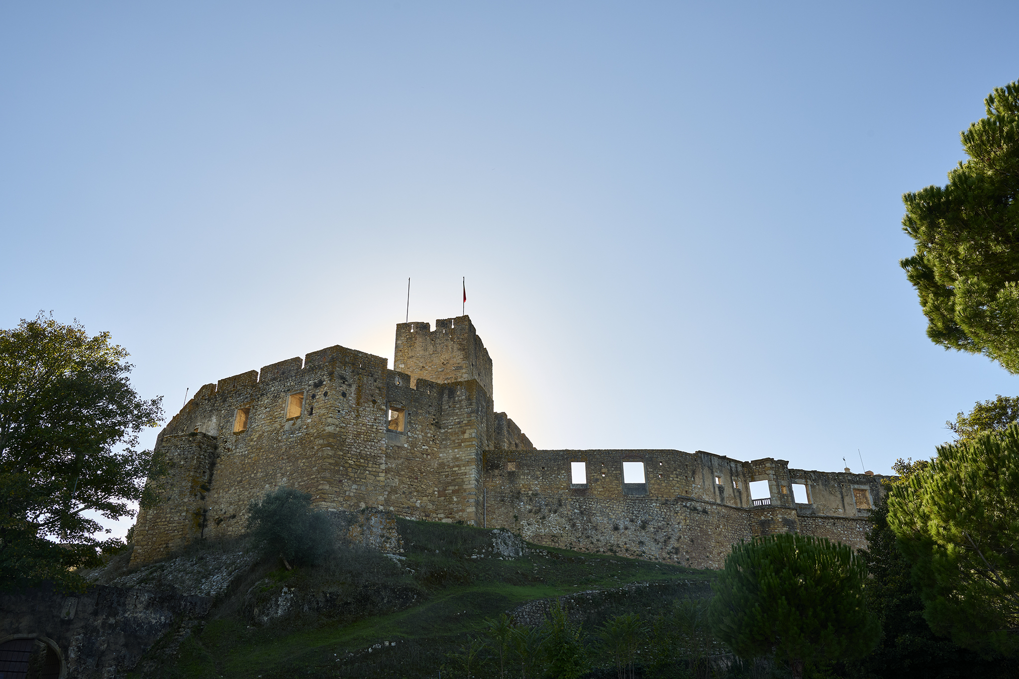
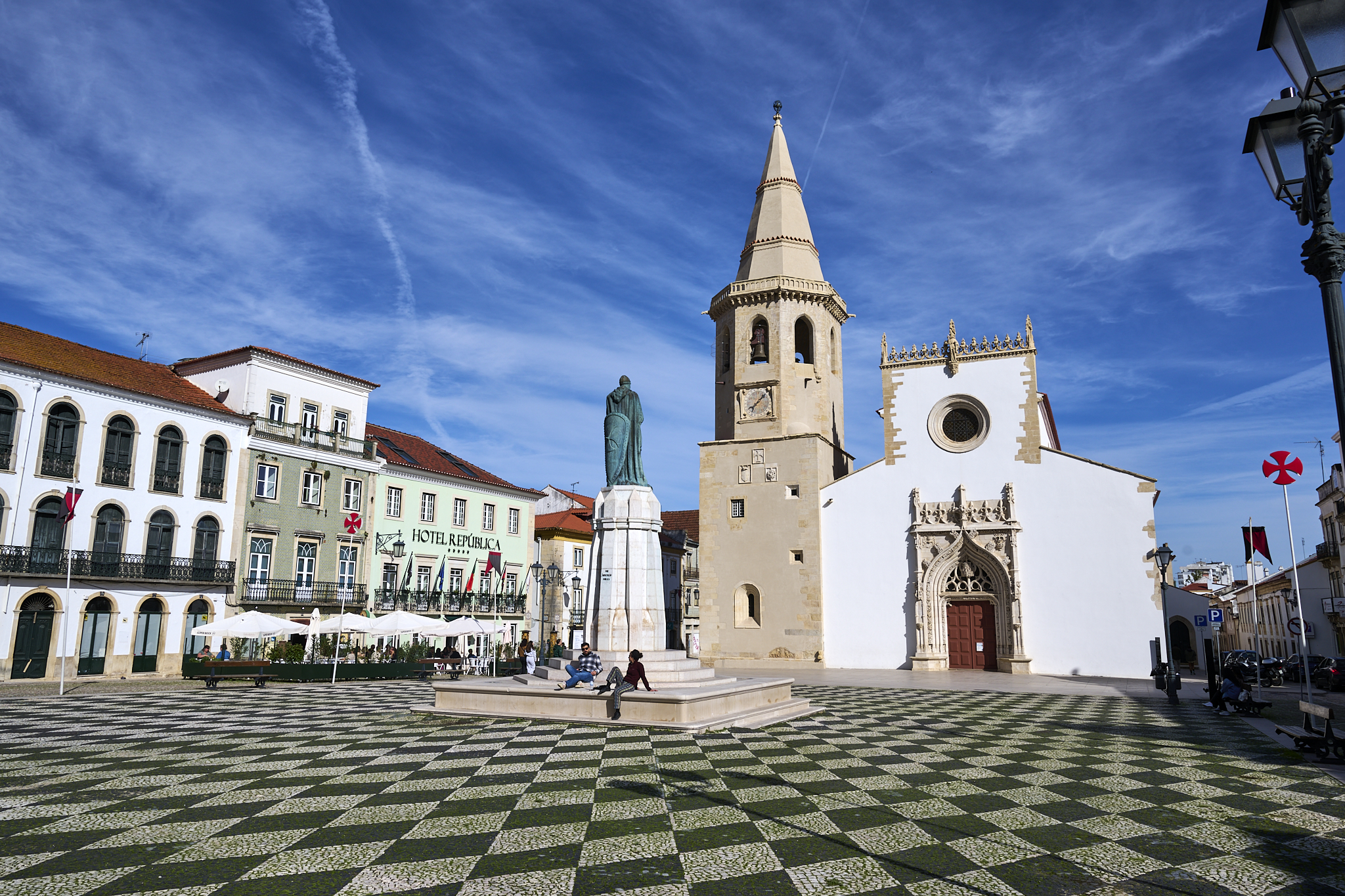
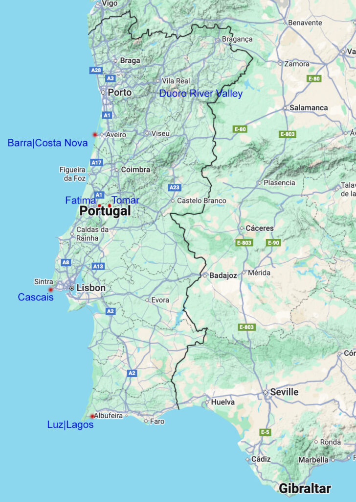
The Silver Coast, also known as Costa da Prata, spans 150 miles. It stretches along the Atlantic Ocean from north of Lisbon to south of Porto. People know the Costa da Prata for its striking natural beauty and a lifestyle resembling that of the Portuguese. Nazare attracts many visitors with its tourist-friendly vibe.
Costa Nova
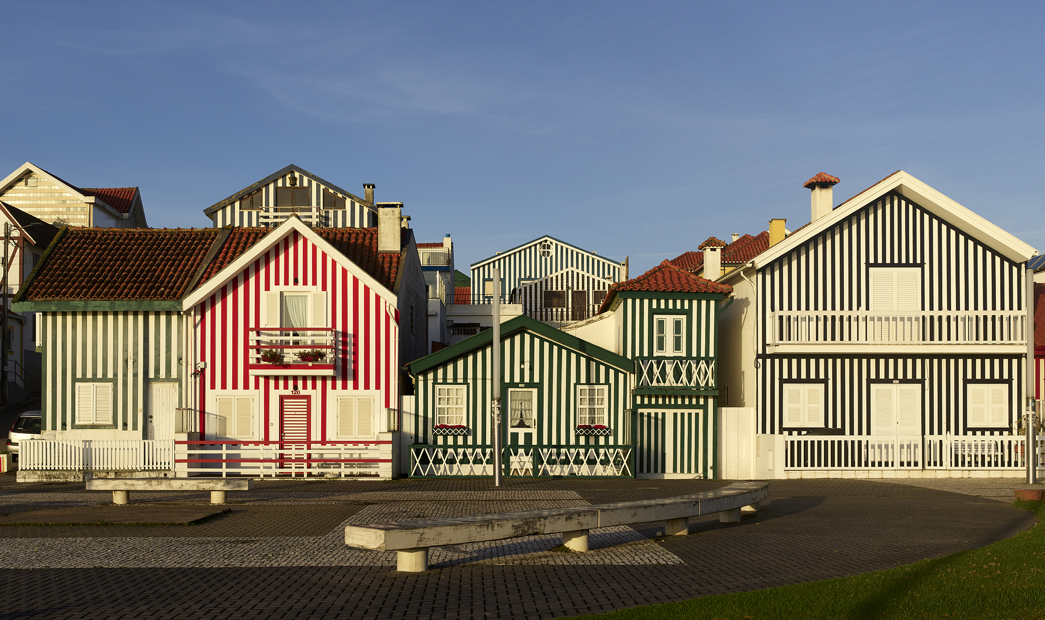
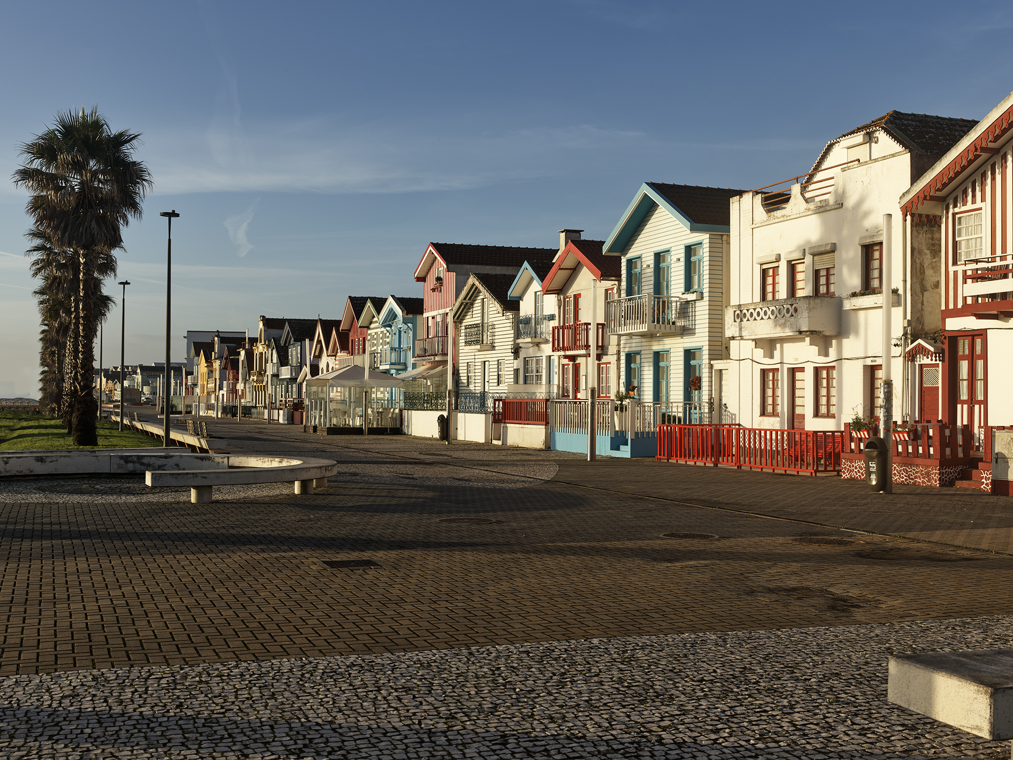
I determined the potential destination I wanted to go to over ten years before the Portugal trip. I happened upon an image of cottages painted in stripes of various colors in the mid-2010s. The image was of the promenade at Praia da Costa Nova.
Fortune would fall upon us, such that we could not only visit the setting, but stay there. Our home exchange was for a place located just blocks from the Praia da Costa Nova promenade.
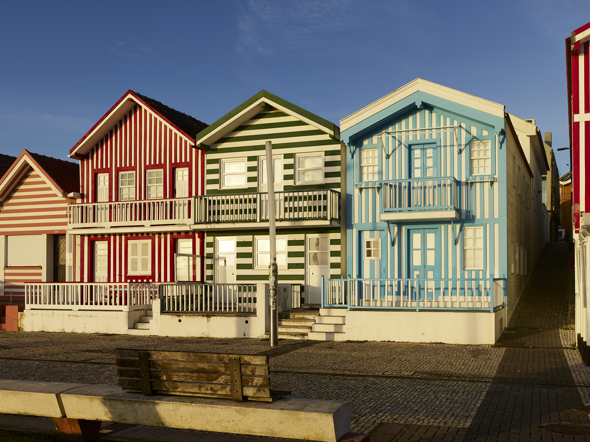
Costa Nova was where fishing companies first built palheiros in the early 1800s. These huts were to become storehouses for salted fish later. A mixture of fish-oil and pigment protected the buildings. Custom had it to alternate the colors between boards.
Given its location, Costa Nova became a desirable place for writers, politicians, and the wealthy in the 20th century. The coloring tradition continues.
Barra
The towns of Praia da Barra and Praia da Costa Nova are side by side. Barra has a great deal more housing and local commercial operations than Costa Nova. Most of the businesses are for the local community. For example, the restaurant Salus appears to be an unexciting hole in the wall. However, reviews from locals gave superior ratings. The two of us enjoyed fresh, grilled sea-bass. Its flaky white meat was sumptuous.
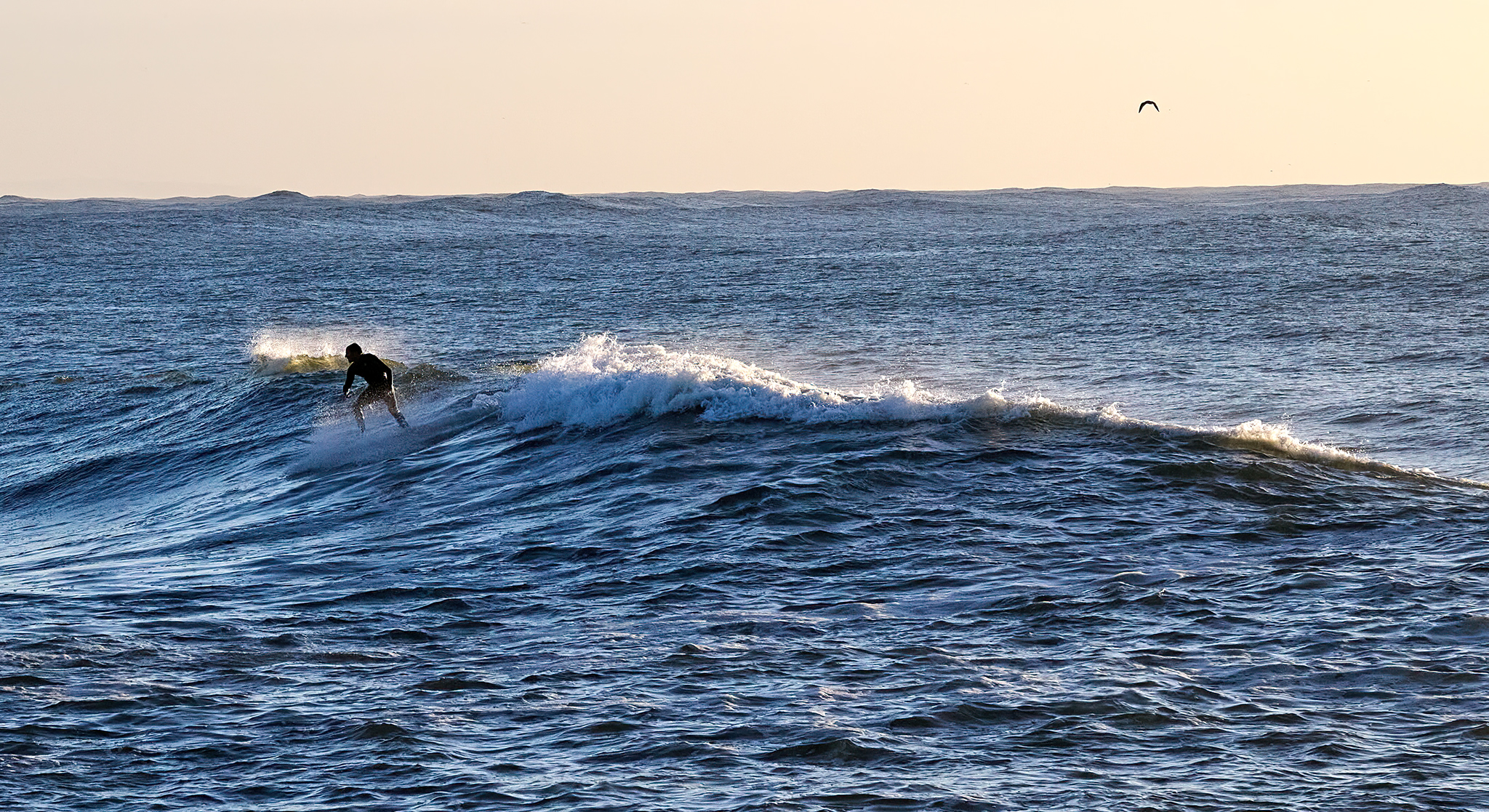
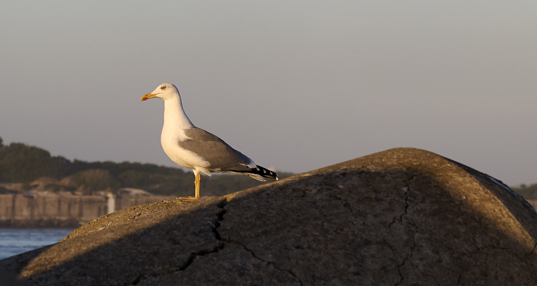
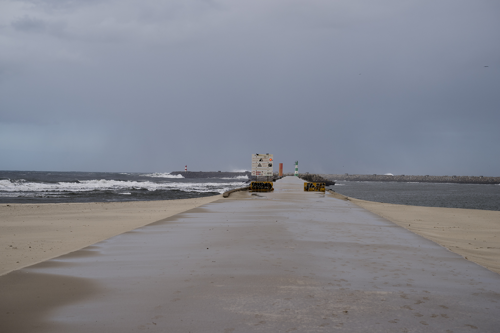
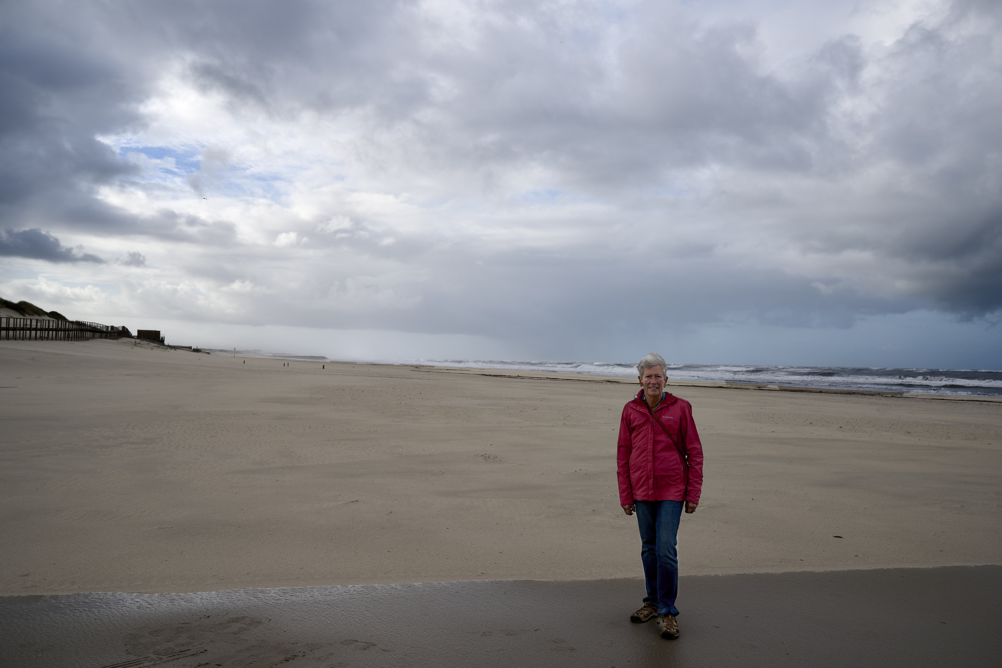
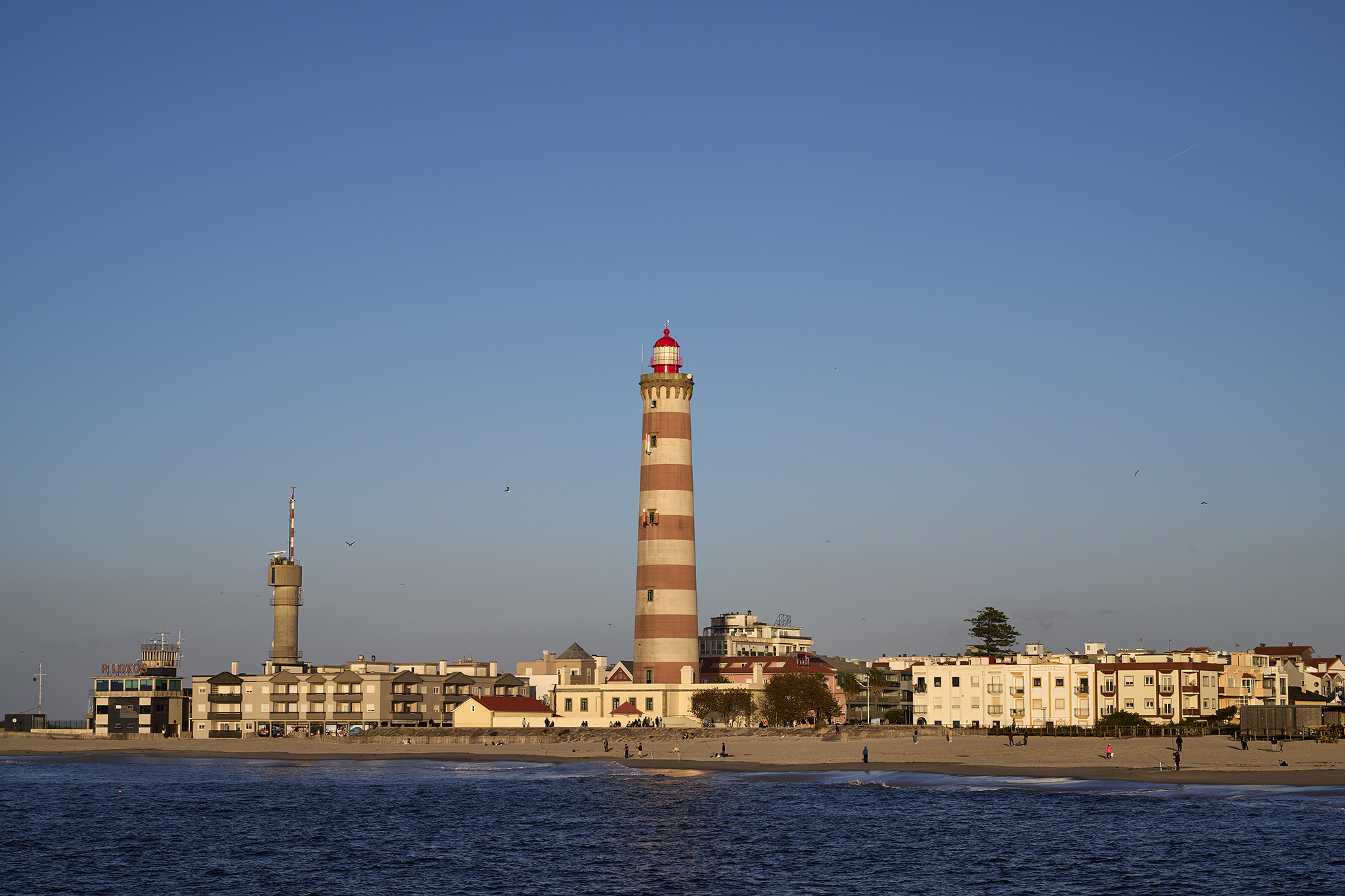
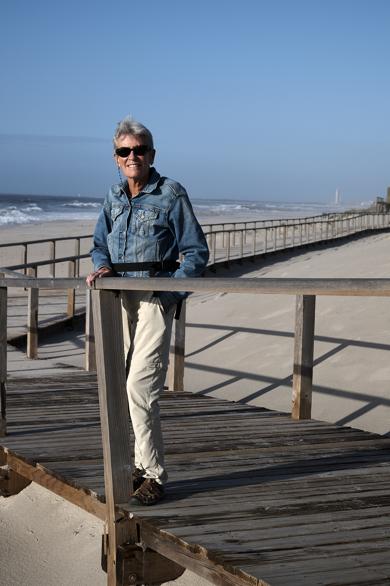
The boardwalk and beach at Barra are both long and wide. At its northern tip, Barra is where the Atlantic Ocean merges with the Aveiro Ria (estuary). The setting is dynamic and dramatic.
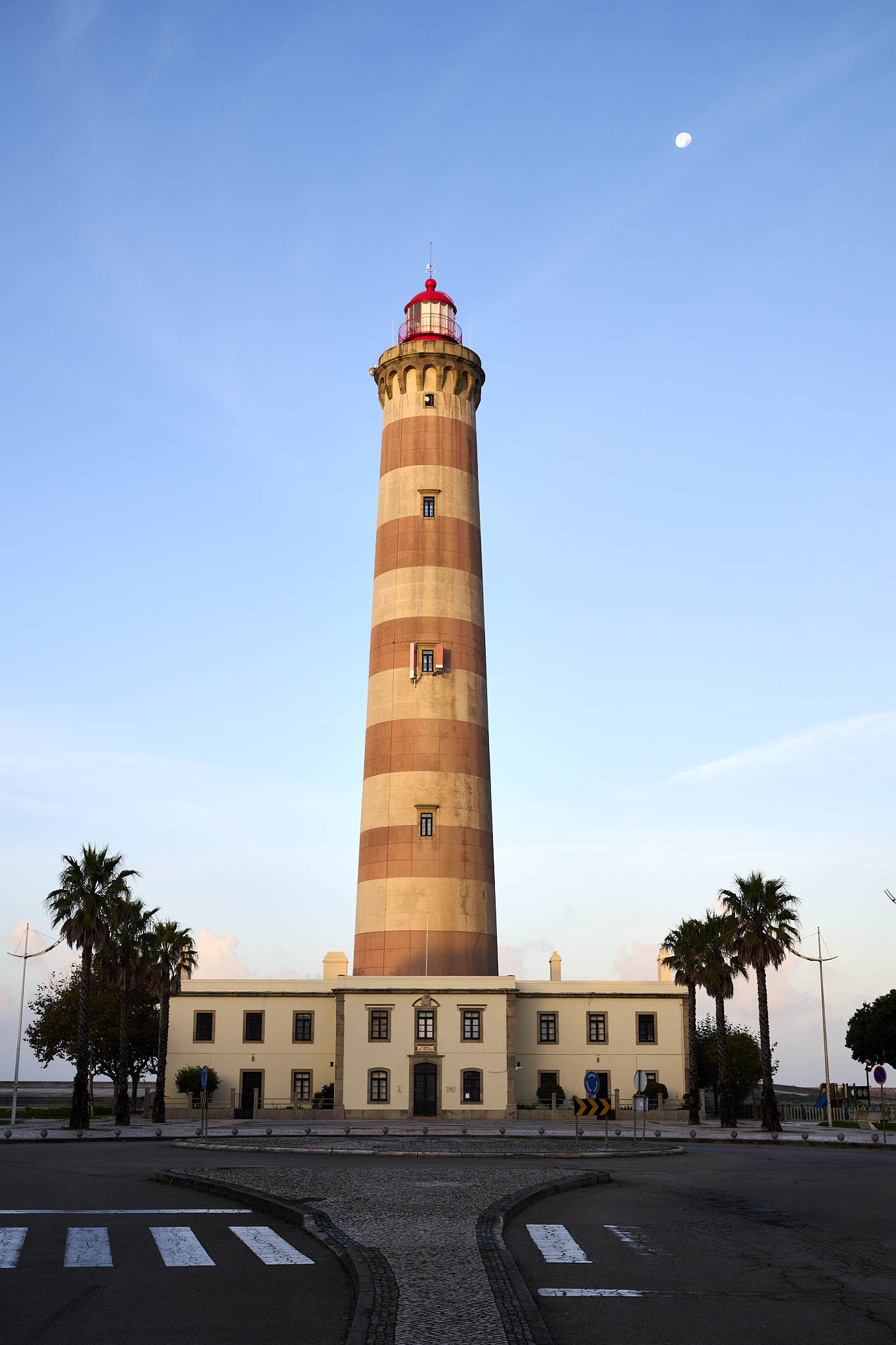
The Barra lighthouse is Portugal’s tallest, standing over 200 feet. A 3,116-foot break-wall shields the estuary from the ocean. The weather and ocean conditions can change with dramatic effect. A walk along the break-wall is exciting.
Another Gem Uncovered
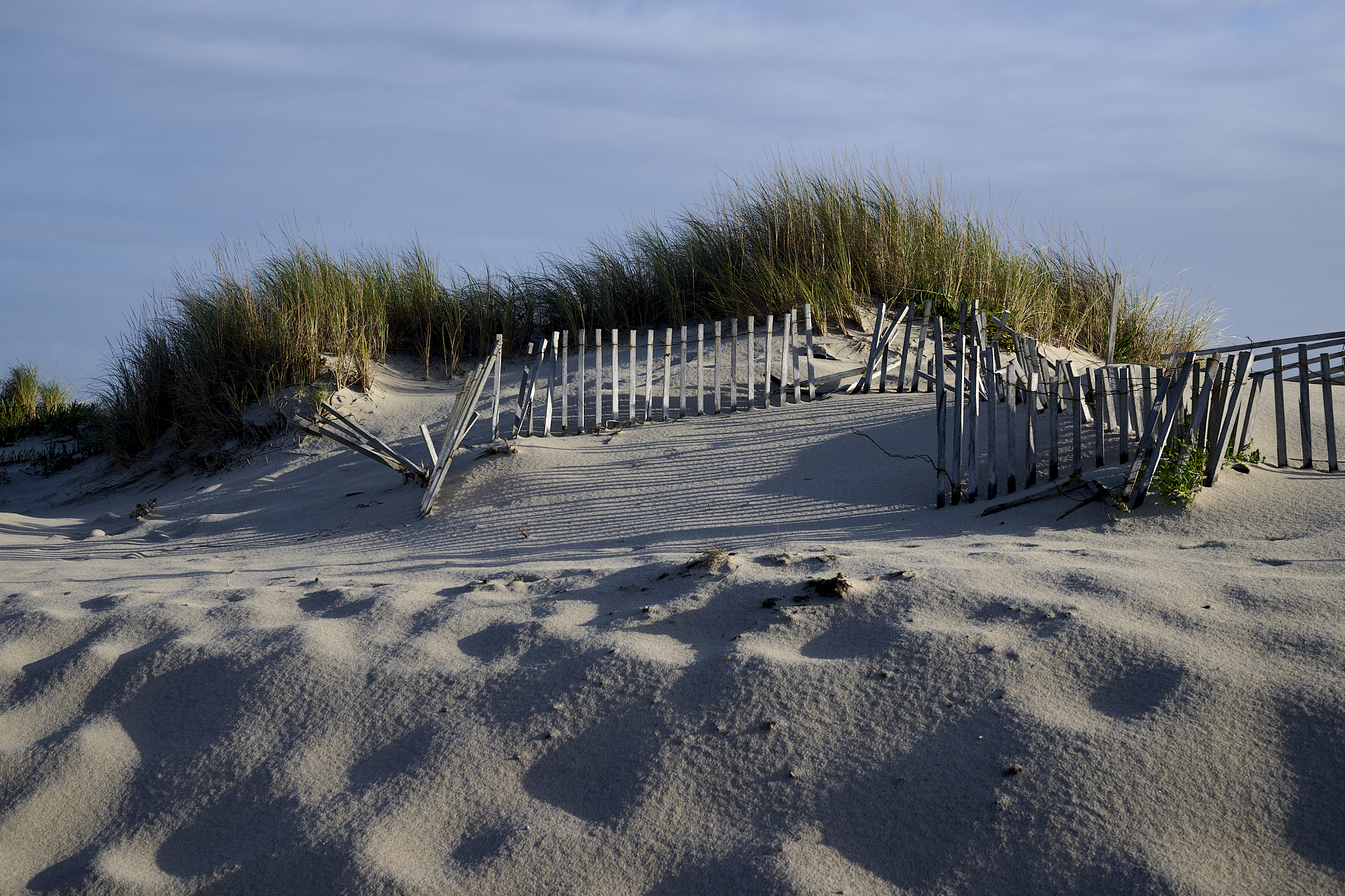
The shoreline in the area began a retreat over 600 years ago. It created the Aveiro Ria, a lagoon of 29 miles and 27,000 acres with what feels like endless sandpits and dunes.
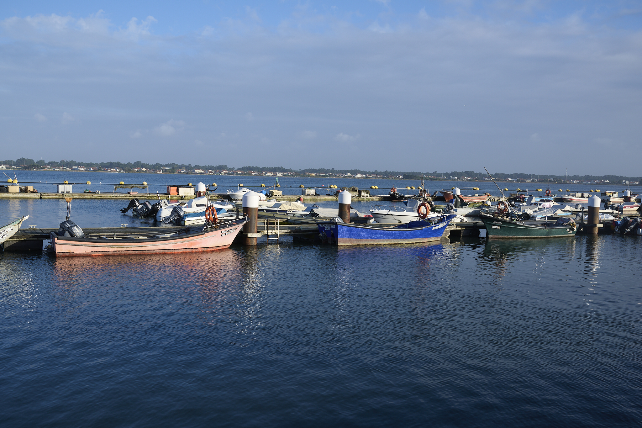
The Aveiro Ria’s presence enabled seaweed harvesting, fishing, and salt production. With the changing times, Aveiro Ria is now a fantastic place for water recreation.
Our visits to Aveiro, Porto, and the Duoro showcased the region’s grandeur. It was unexpected.
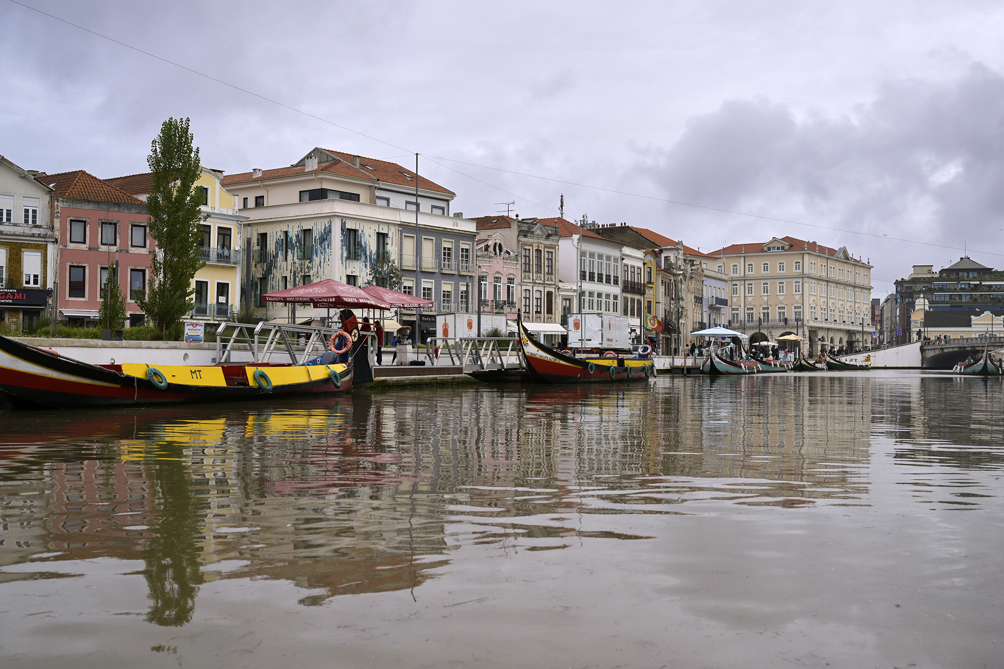
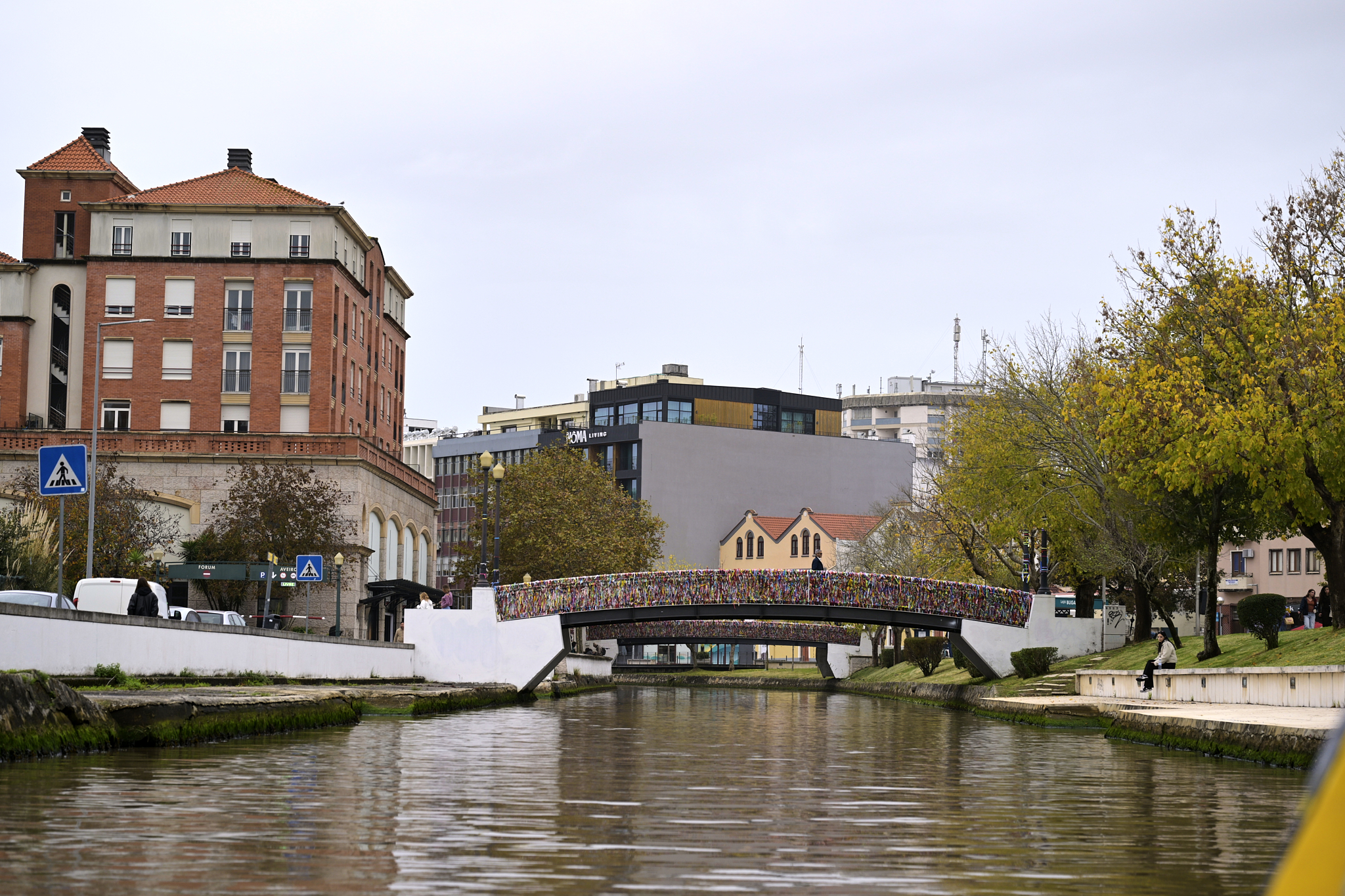
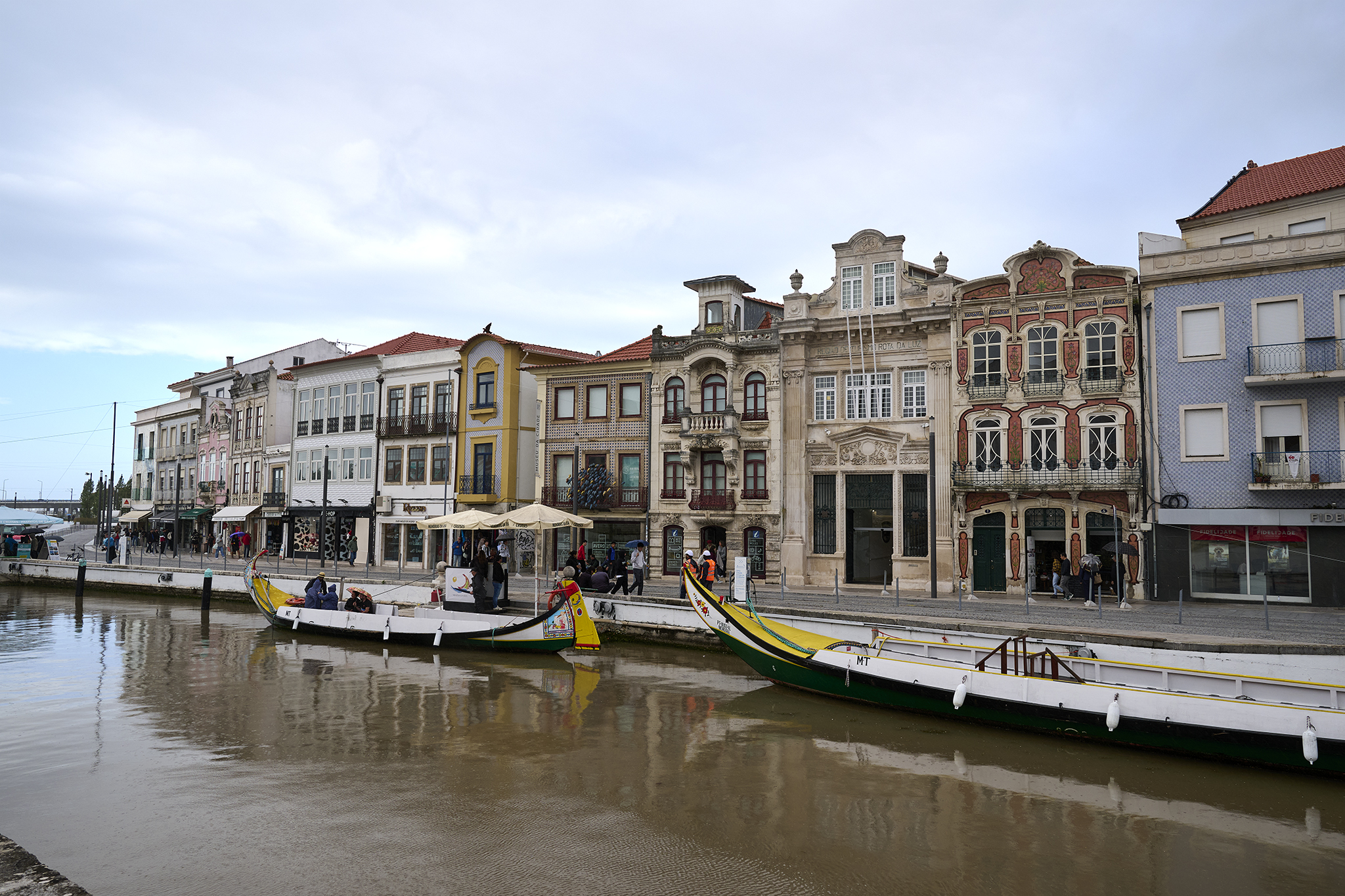
The Venice of Portugal
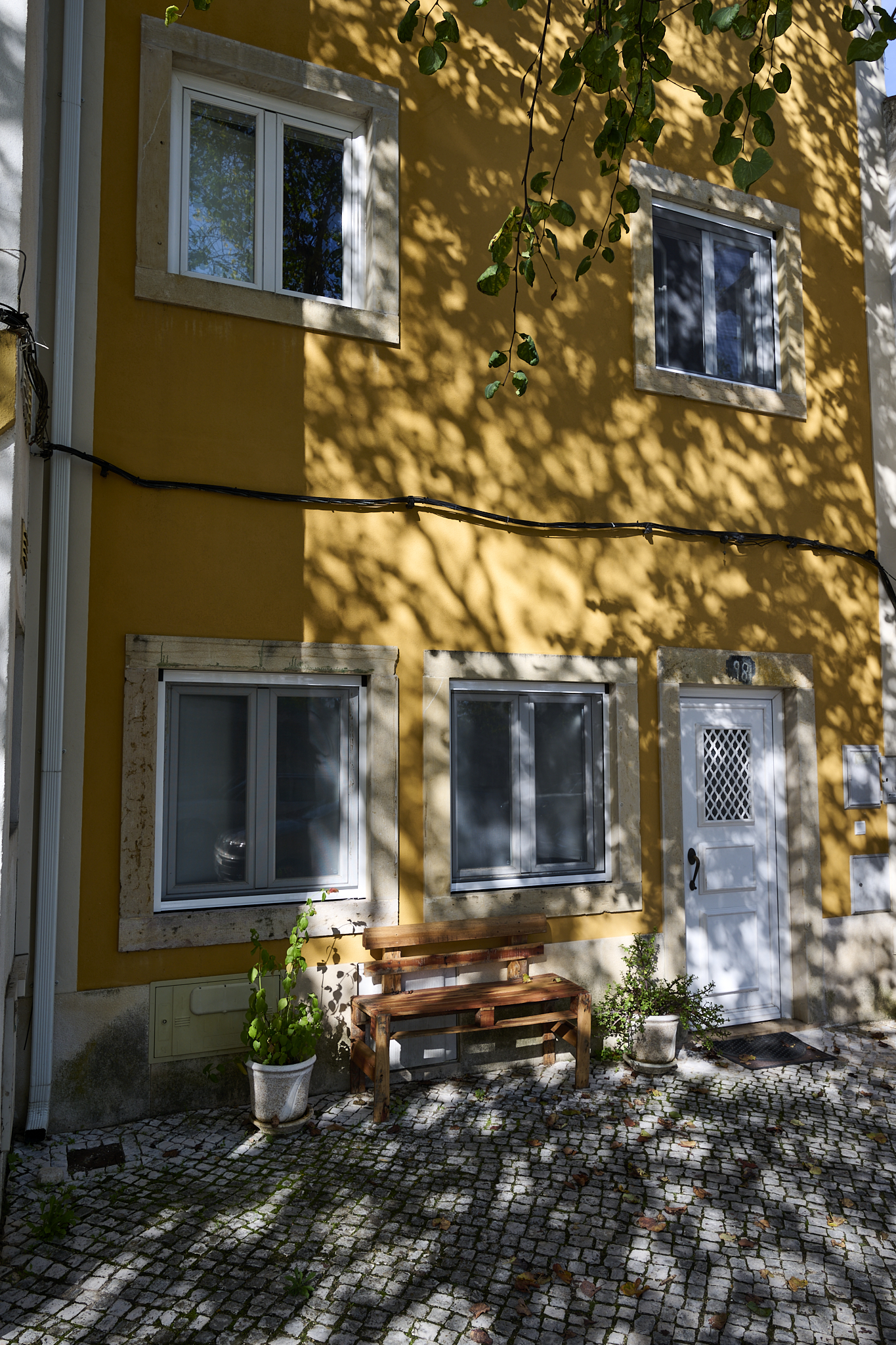
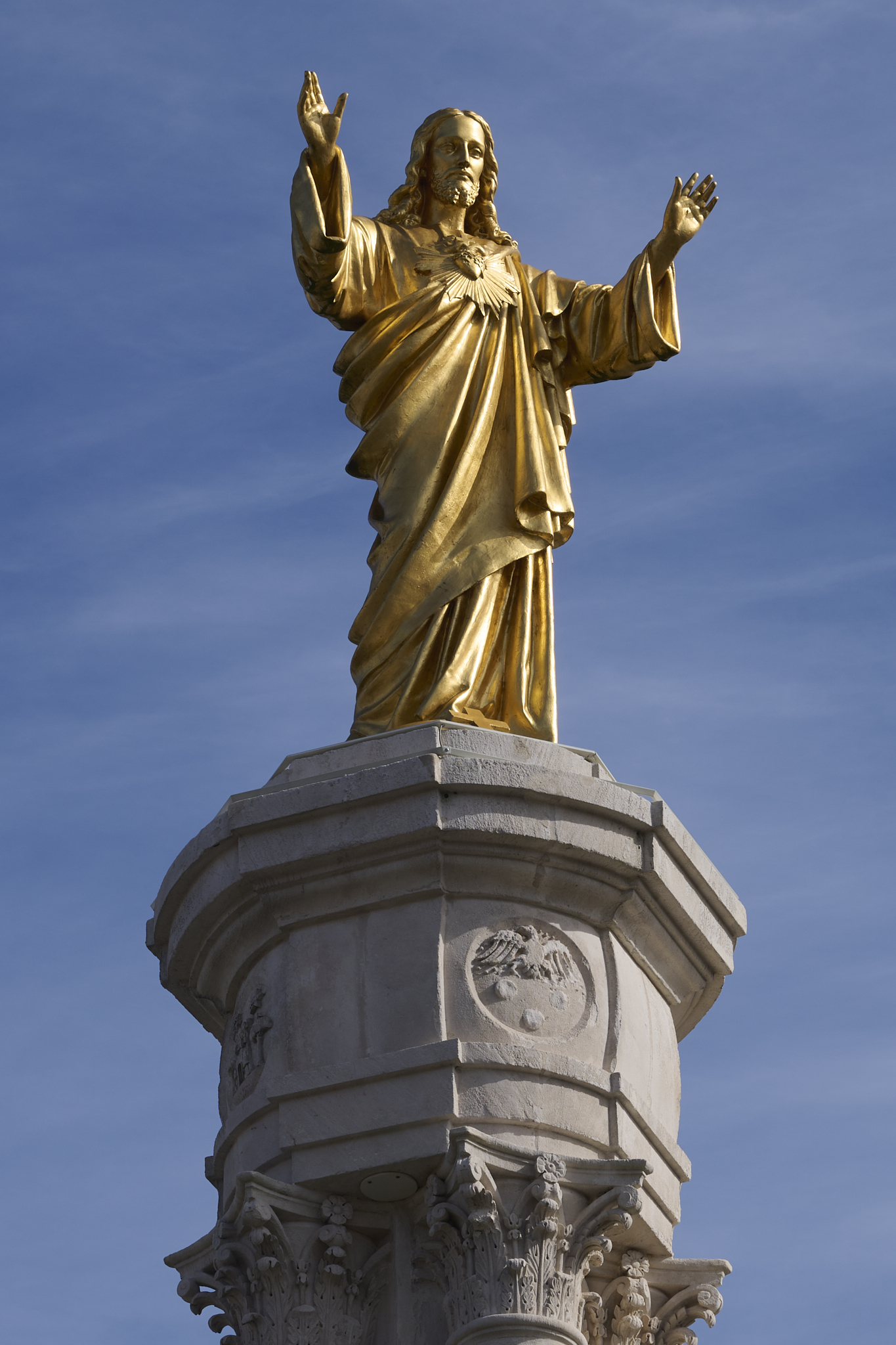
Visiting Aveiro was a pleasant surprise. The city has many canals. Their original purpose was to facilitate transportation and business. Unfortunately, it rained the day we visited. The bridges over the canal are covered in color ribbon. The canal gondola ride and city walk were still enjoyable.
The Portugal Silver Coast trip was worthwhile in several ways. We confirmed what we believed to be hidden gems was true. We experienced a remarkable world of water surrounding nature, which was unexpected.
*** Jeff’s Thought’s and Other Worthless Trivia ***
All of the text, and images appearing in this Post are Copyright – Jeffrey H. Lubeck & MESH Art LLC – all rights reserved.