What are colors like on the island of Kauai in the month in January? I decided to conduct a quick photo-shoot at my house to reveal the colors on display in the middle of winter-time on Kauai. Our house is located on the west side of the island on the beachfront in Waimea just west of the mouth of the Waimea River and on the the Pacific Ocean.
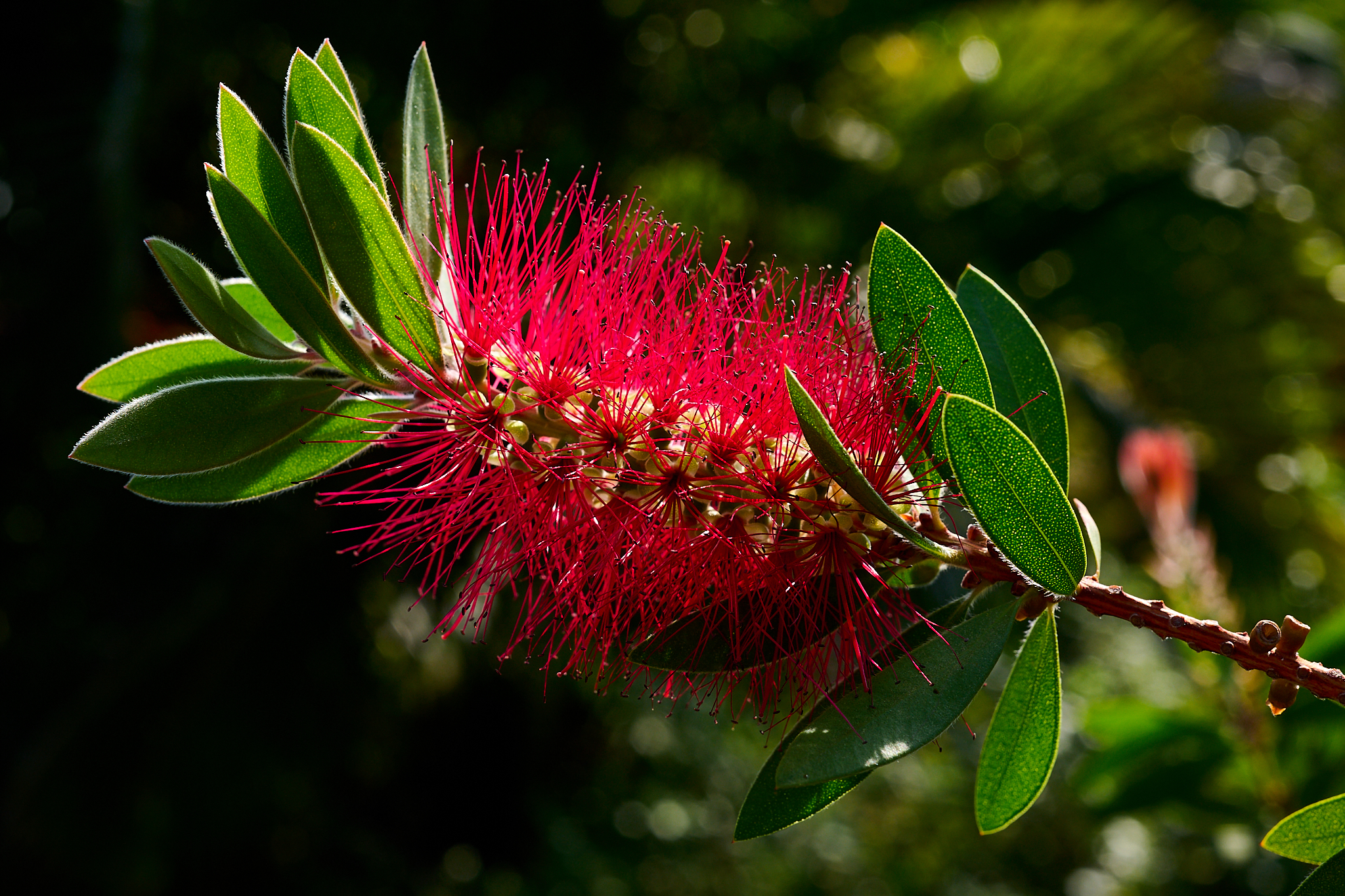
‘Ōhi‘a lehua in the backyard
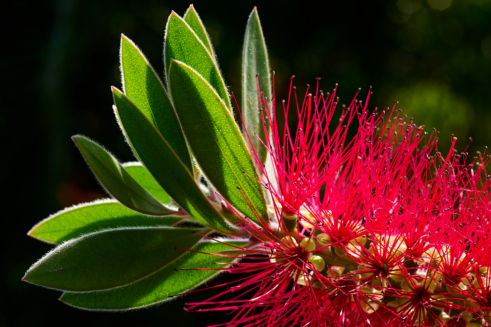
Close up of the flower of ‘Ōhi‘a lehua in the backyard
The ‘Ōhi‘a lehua tree is unique to the six main islands of Hawaii. It flowers year round. In Hawaiian mythology ‘Ōhi‘a and Lehua were young lovers. The volcano goddess Pele was in love with Lehua. However, the love was unrequited. Angry, Pele turned ‘Ōhi‘a into a tree. Lehuna became broken-hearted. Out of remorse Pele turned Lehuna into a flower on the ‘Ōhi‘a tree.
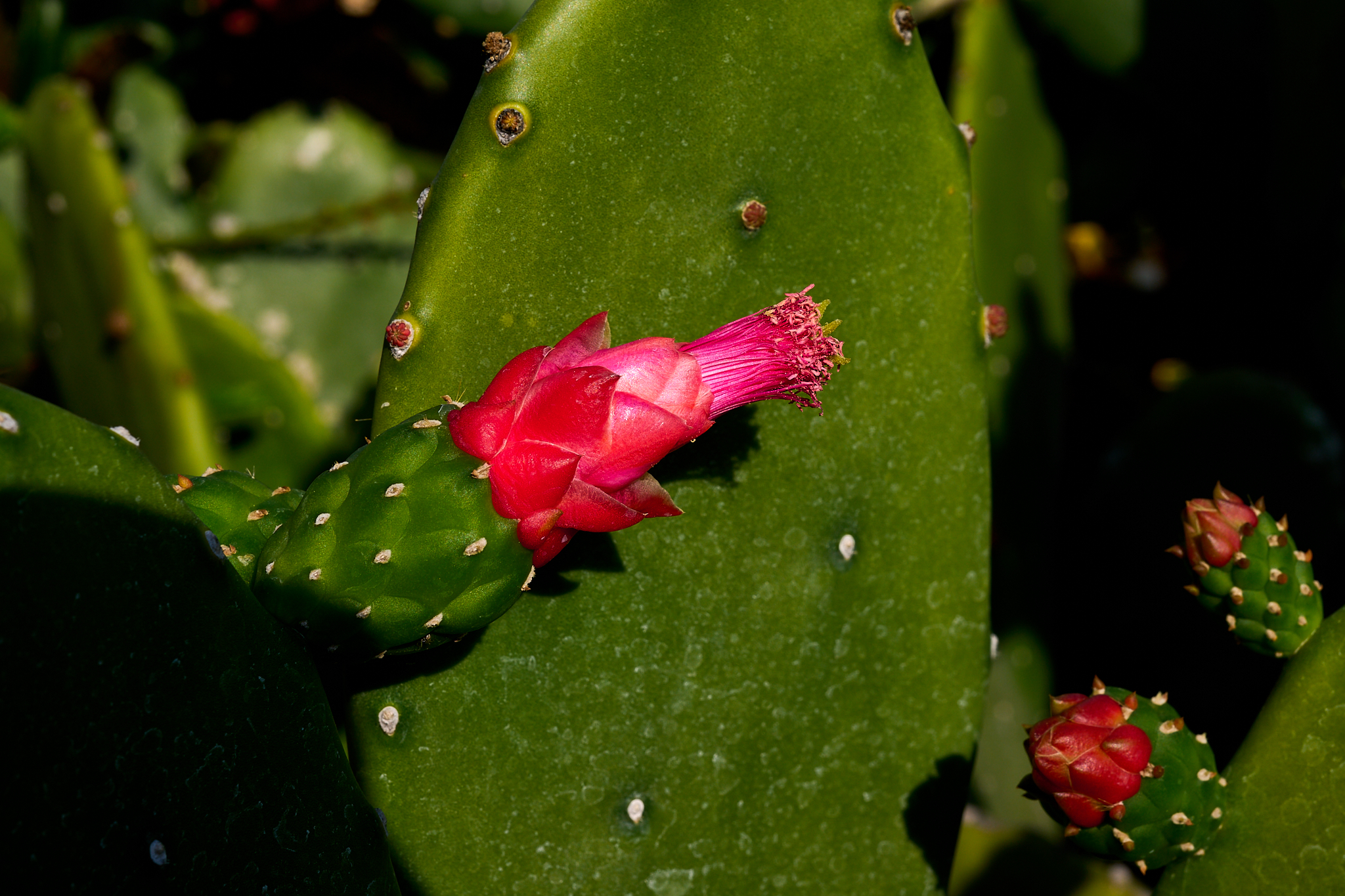
The Prickly Pear Cactus that makes up part of our street-side hedge.
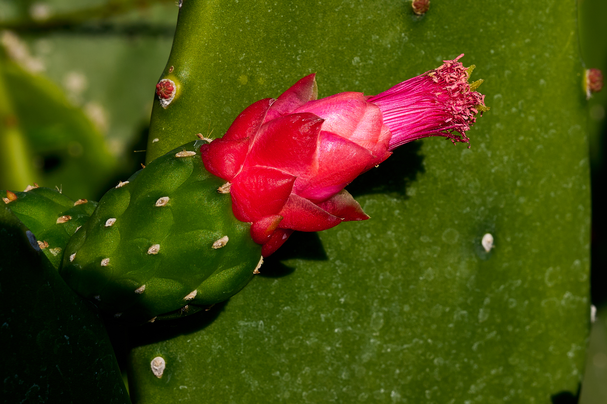
A close up of a prickly pear on the cactus.
Cactus are not native to Hawaii. However, several species were imported to the islands from Acapulco Mexico in the mid 1800s. The Prickly Pear cactus or Opuntia (Panini in Hawaiian) was brought to the islands to act as fodder for cattle. The Prickly Pear thrives in drier conditions of tropical environments. Our Prickly Pear thrives and produces pink and yellow fruit. The leaves and fruit are edible. It is part of the regular diet of people in Mexico and is made into a wide variety of products – including tortillas.
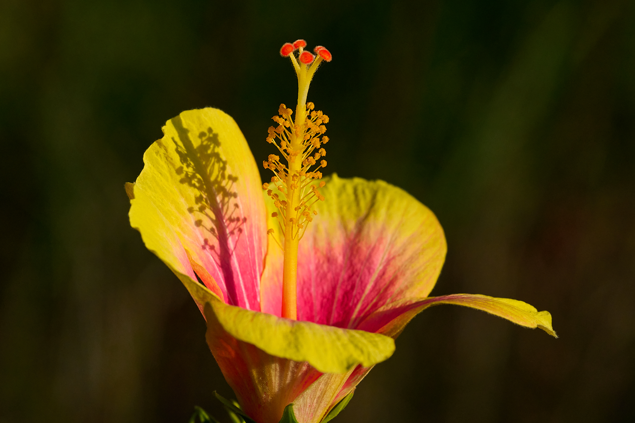
The Pink Lemonade Hibiscus in our front yard.
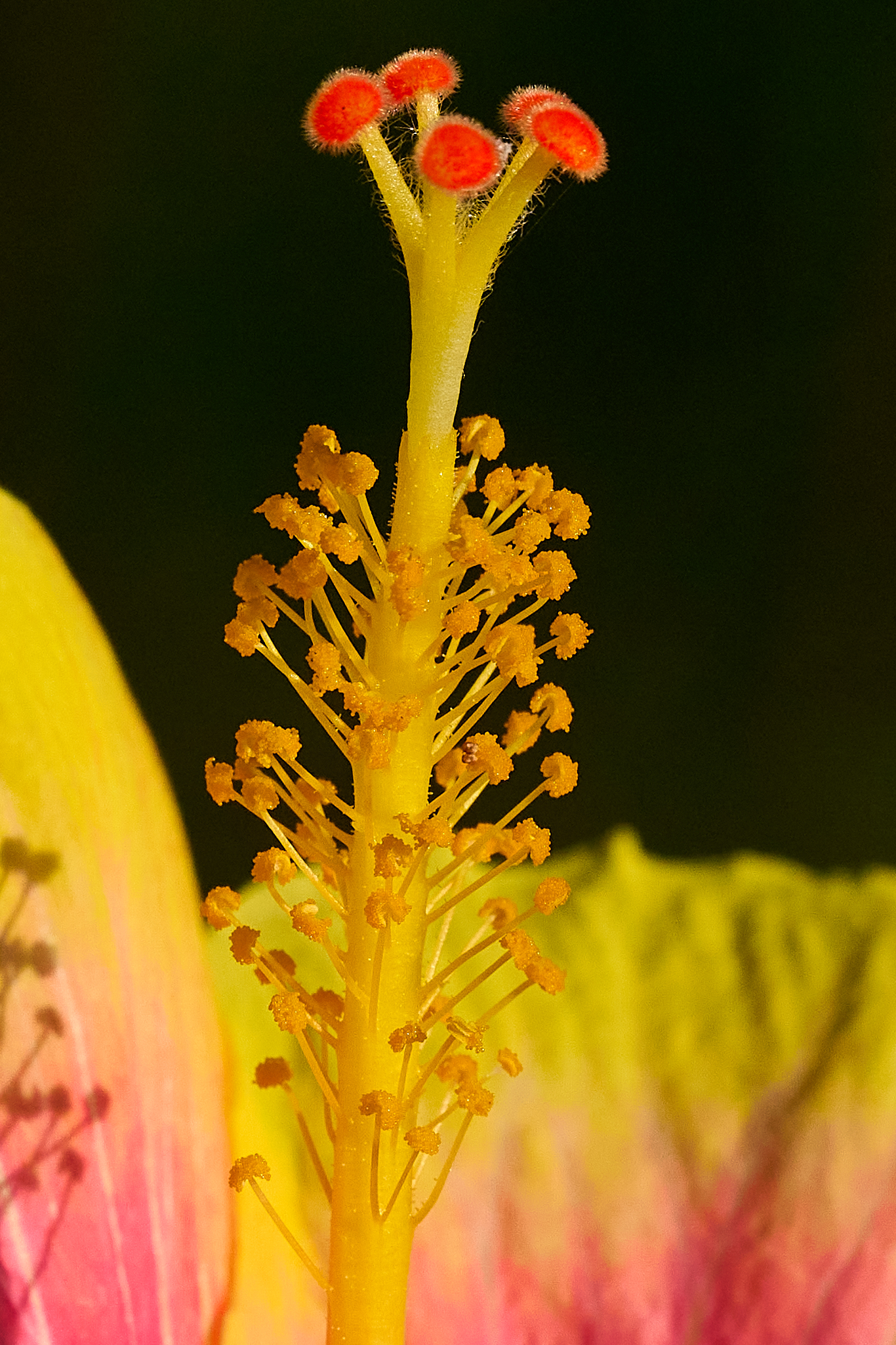
A close up of the Pink Lemonade Hibiscus in our front yard.
The Yellow Hibiscus is the state flower of Hawaii. We have a Yellow and a Lemonade hibiscus. They were planted by Linda and I on the near the eastern property line.
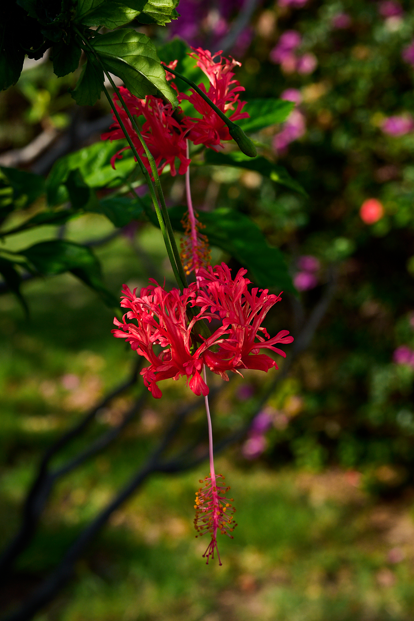
Spider Hibiscus near the street side hedges.
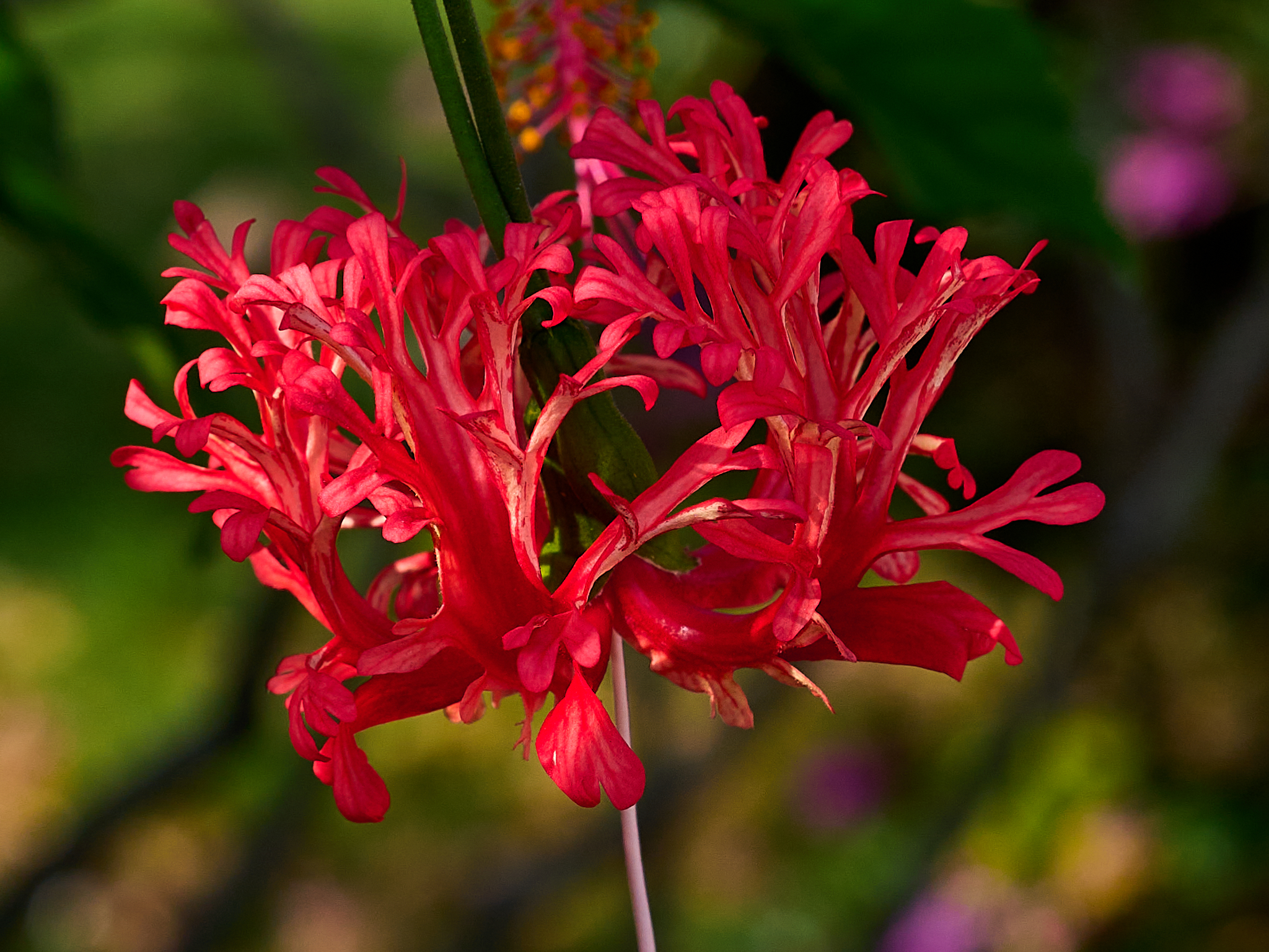
Closeup of Spider Hibiscus near the street side hedges.
The Spider Hibiscus, or schixopetalus is native to eastern African nations (Kenya, Tanzania and Mozambique. It was introduced to Kauai in the 1800s.
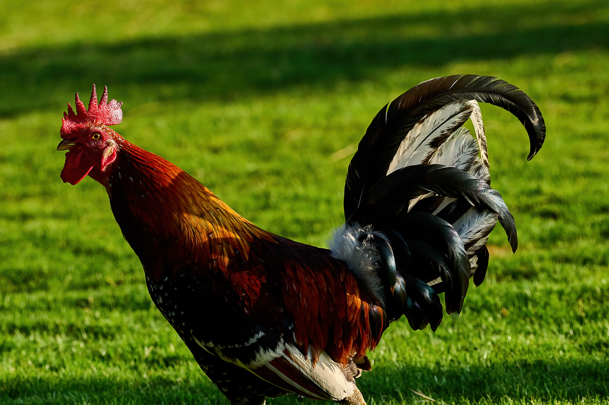
Rooster Who Currently Rules The Roost at 9930 Kahakai Rd.

Closeup of Rooster Who Currently Rules The Roost at 9930 Kahakai Rd.
The story of the Chickens of Kauai is legend. One version of the story is [here]. We have two Roosters and a few females who treat our property as their home. Personally… I like their presence.
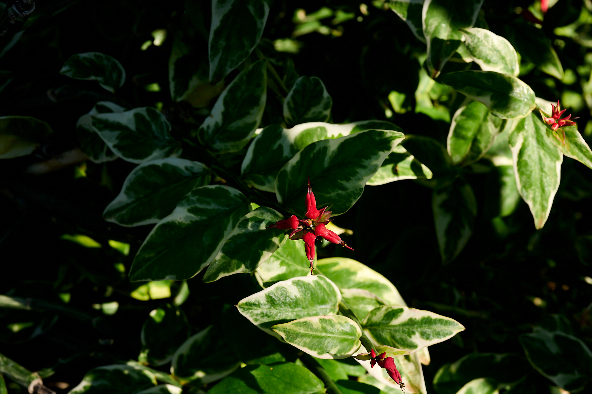
The Devils’ Backbone on the Eastern property line of the house.
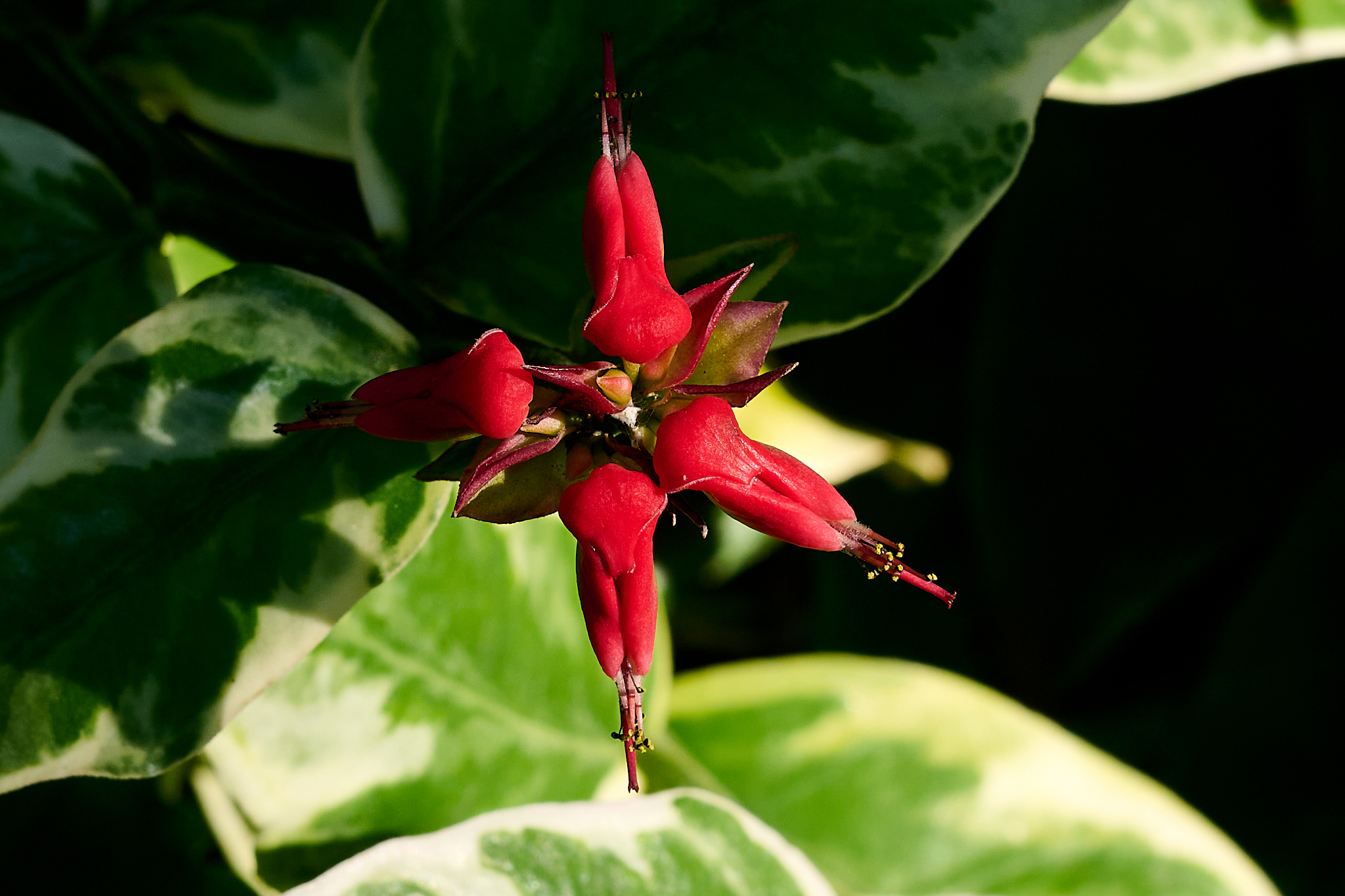
Close-up of the Devils’ Backbone on the eastern property line of the house.
Devil’s Backbone, or Flowering Habit has a varied reputation. A really varied reputation. On one hand It is considered toxic – highly so to dogs. On the other hand clinical studies have proven its role in repairing tendons, ligaments and relieving joint pain and inflammation, strengthening bones, promoting weight loss and preventing osteoporosis Hmm…
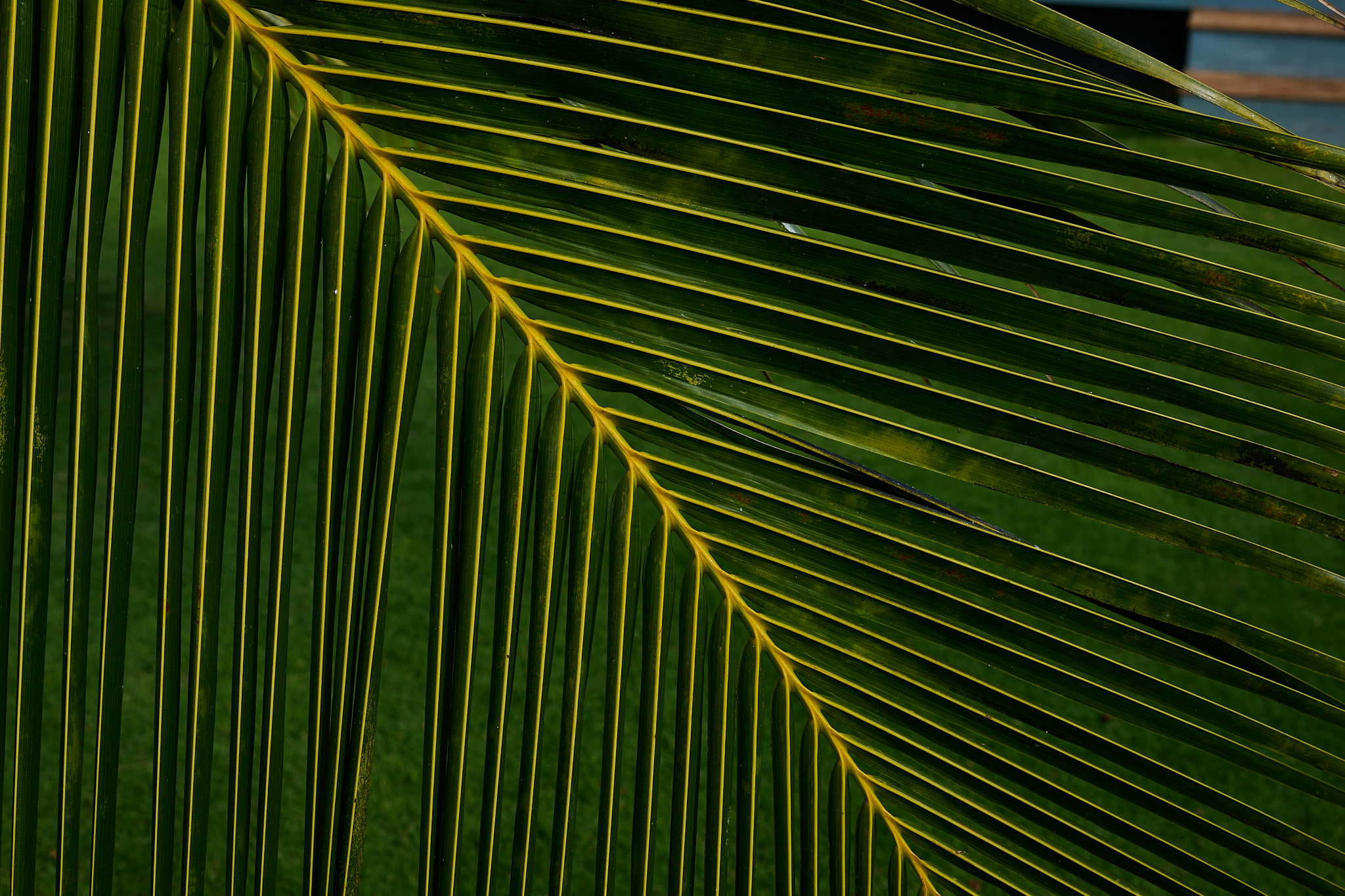
One of the three palm fan trees in the front yard.
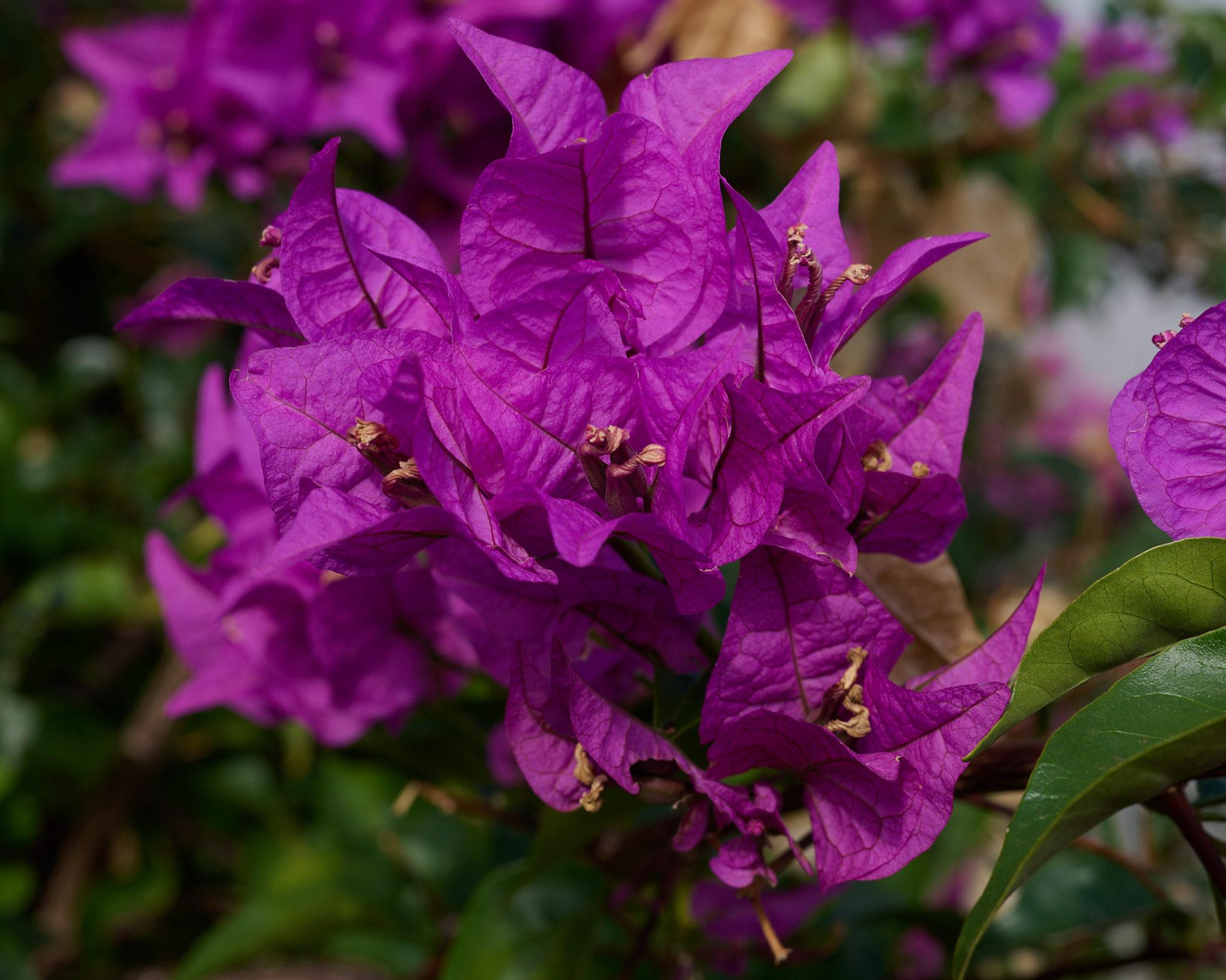
Magenta Bougainvillea on the StreetSide hedge.
Bougainvillea is native to eastern South America. They thrive in Kauai’s tropical climate.
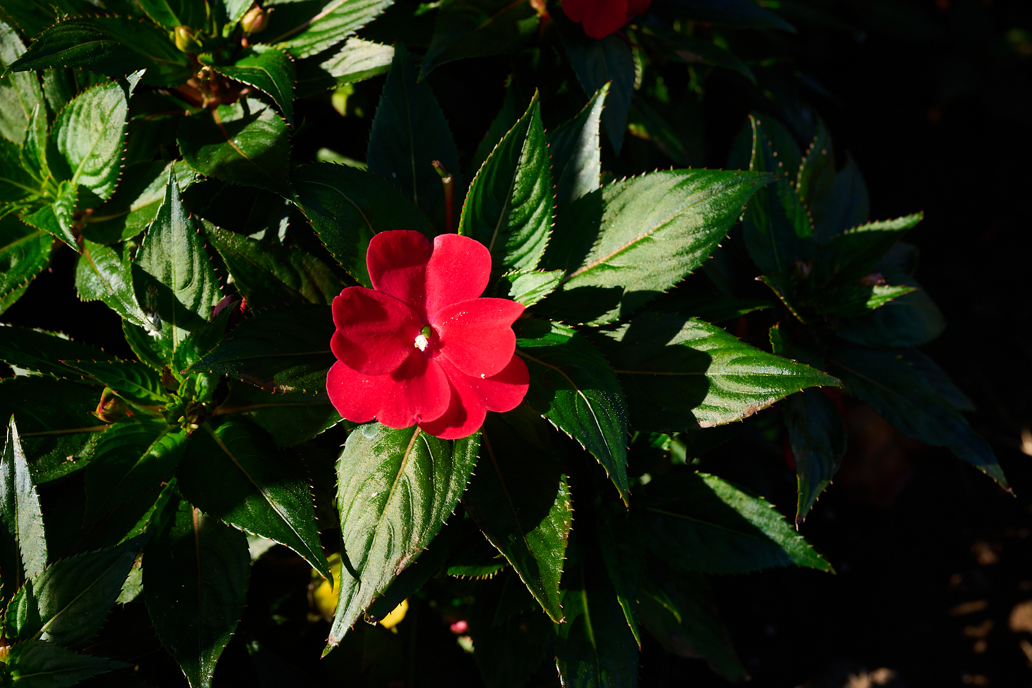
New Guinea Impatiens in the flower beds surrounding the house.
The New Guinea Impatiens is native to Papua New Guinea and the Solomon islands. Linda selected these plants for the house. They look magnificent. The plants complement the Madagascar Periwinkle that recently appeared in the beds. We have no idea how the MPs made the scene.
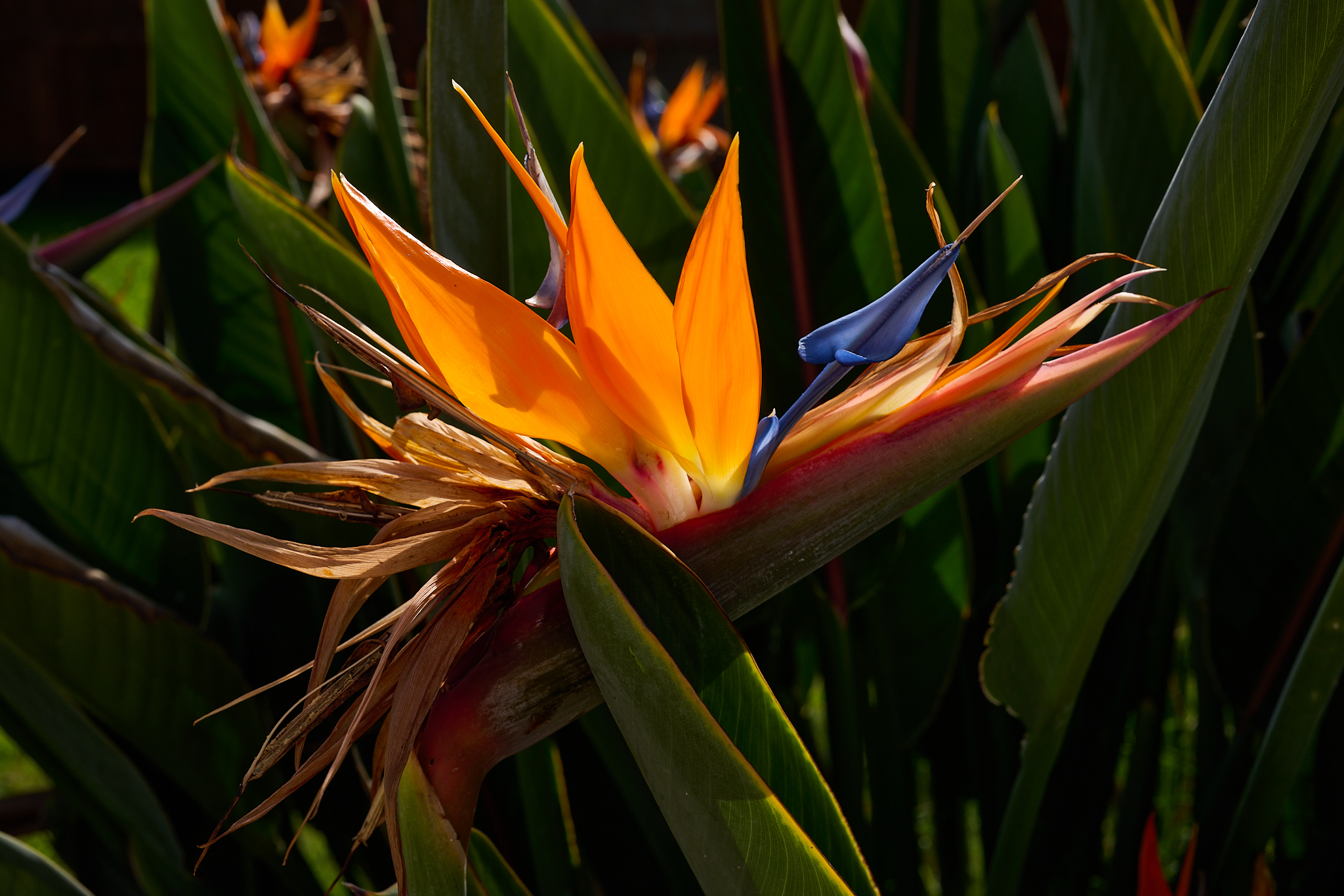
Bird of Paradise on the property line west of the house.
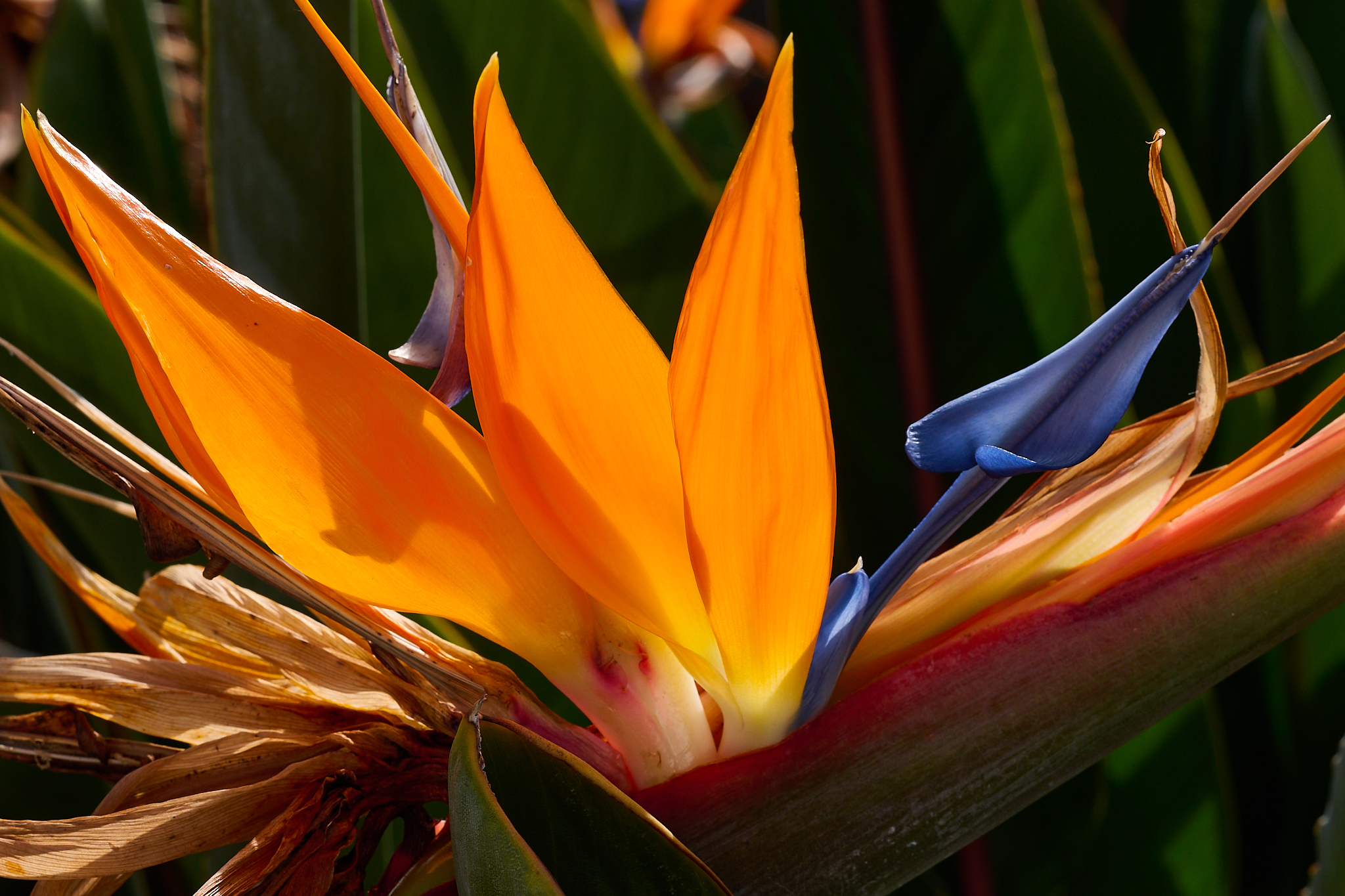
Closeup of the Bird of Paradise on the property line west of the house.