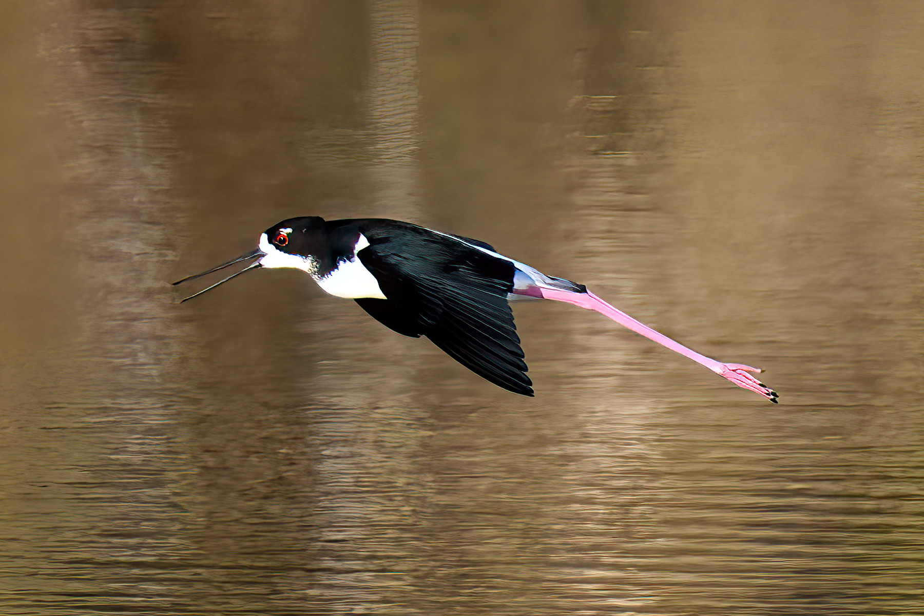
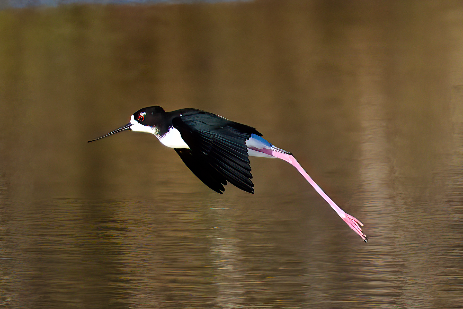
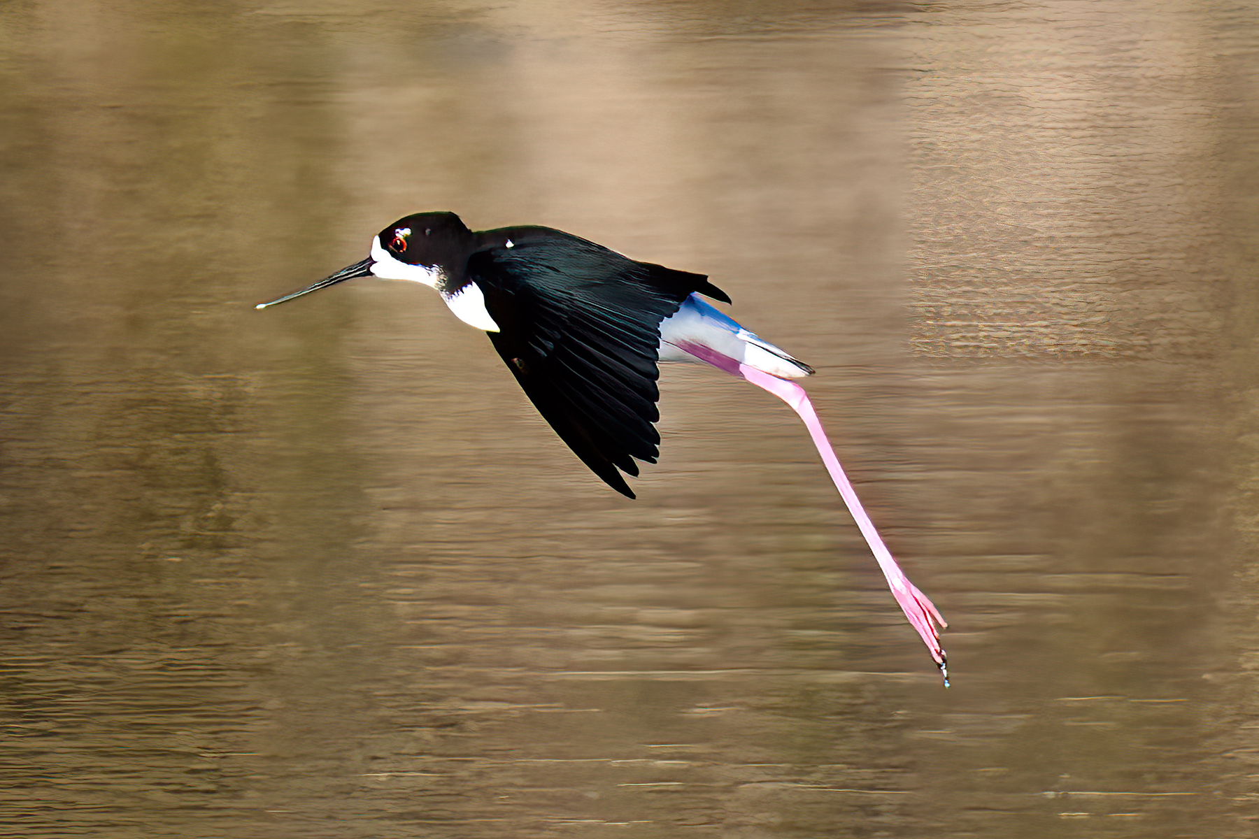
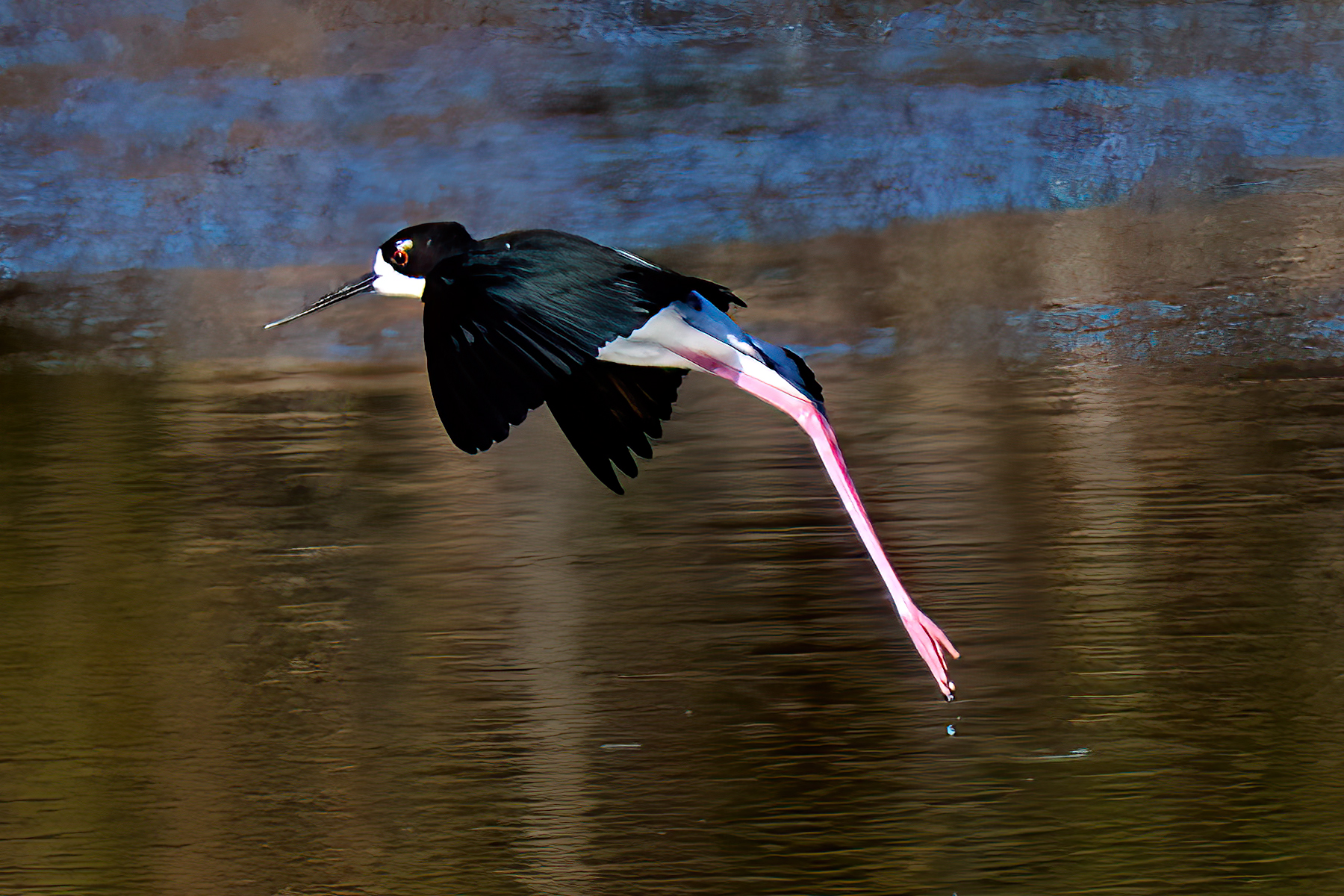
It is Boxing Day on the Island of Kaua’i.
Coming into full bloom this morning at the WaimeaBeachHouse, is a flower on our Kaua’ian hibiscus bush.
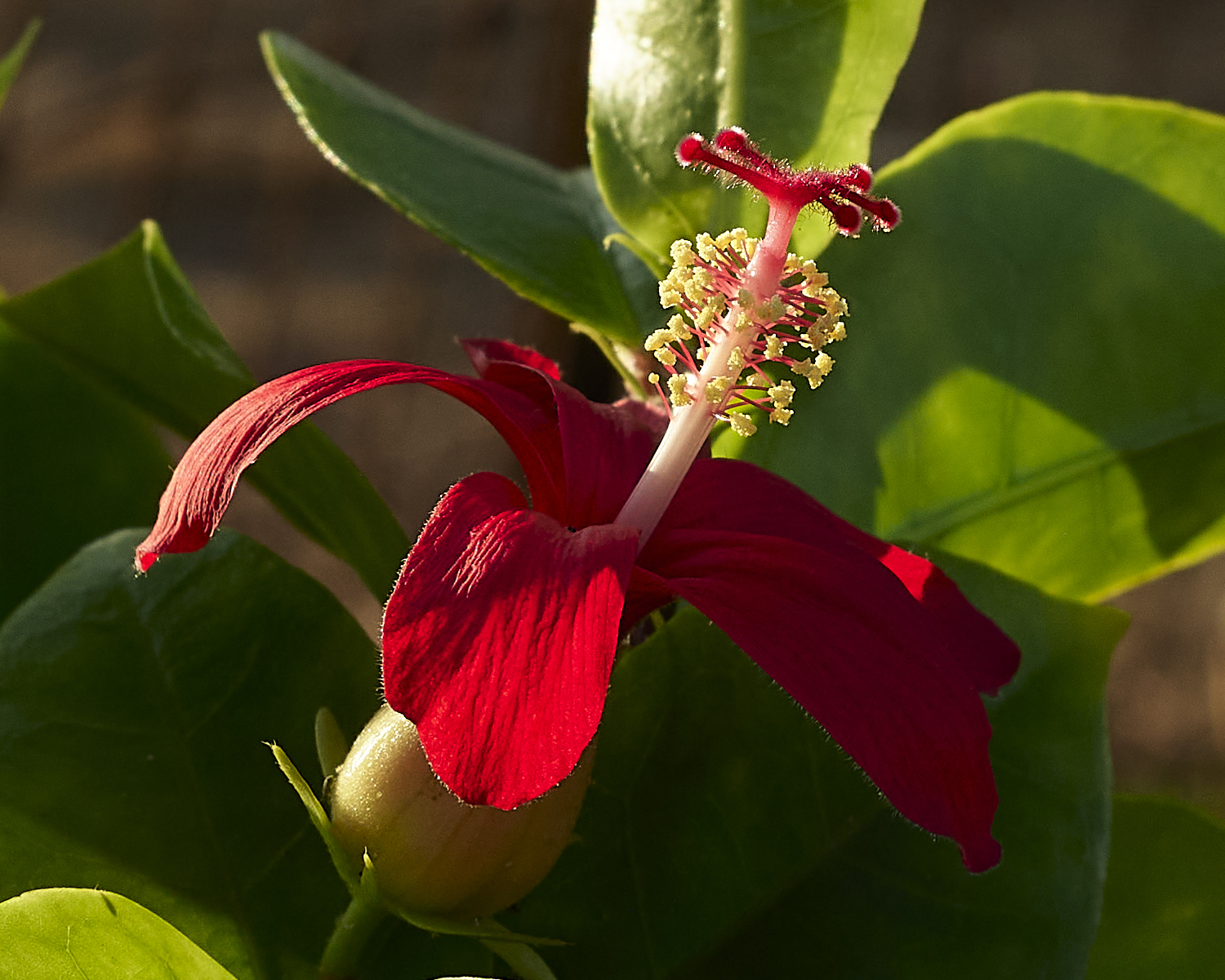
Kaua’ian hibiscus
Planted in 2021, the bush began flowering in February of 2023. A Post about the plant is located [here].
The Kaua’ian hibiscus is endemic to Kauai. There are only five types of hibiscus native to the Hawaiian islands.
*** Jeff’s Thoughts and Other Worthless Trivia ***
Boxing Day is a national holiday in Commonwealth nations. It began as a day of gift giving to those in need. Concurrently the day is also called St. Stephen’s Day or Day of Goodwill. This day is not a national holiday in the United States. More on Boxing Day is located [here].

St. Stephen’s Cathedral, Vienna Austria in May of 2024.