There are a number of things I did not expect from a trip to Scotland in the British Isles.
Experiencing not a drop of rain during the stay is one. If fact, almost all of the days on the islands were partly to completely sunny.
The Scottish people are almost to a person, friendly and helpful.
Many of the locals offered insights and tips about places to see. Linda and I were able to experience many things not mentioned in travel books and guides.
The variety of the makeup of Scotland is rather astonishing. It is most unexpected. I have read and researched a fair amount on Scotland. However, there is so much more to this place than expected.
The vibe and feel of the two big cities, Edinburgh and Glasgow, are materially different from one another. Each is worthy of a visit. Miss either of them and you will have a hole in your understanding of Scotland.
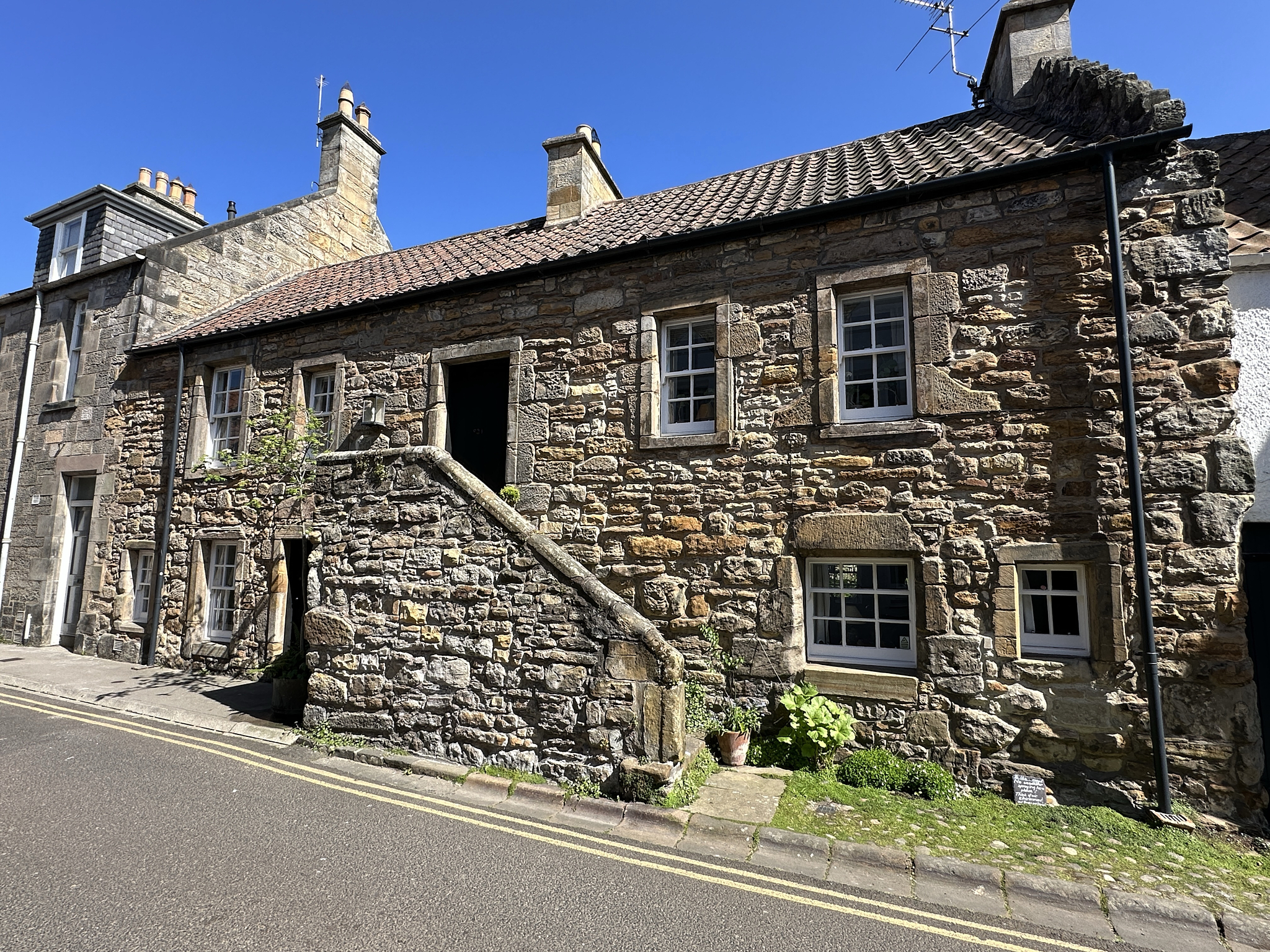
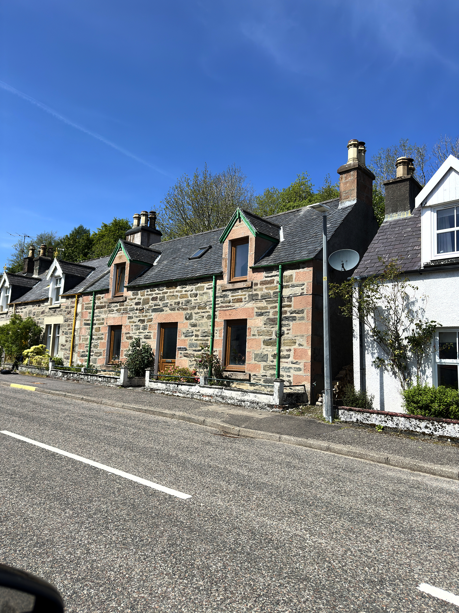
Each region of Scotland feels different from one another. Sometimes shockingly so. It would be smart to assume nothing about anything in Scotland – including how what’s around the bend will look and feel.
Note: The one Travel Guide and Writer we rely on and trust is Rick Steve. Rick (and his staff) are superb. Rick’s site on Scotland is located [here]. Make sure to get his Travel Guide Book if heading to Scotland.
Scotland In My Mind
Below is what is most memorable to me about the trip to Scotland.
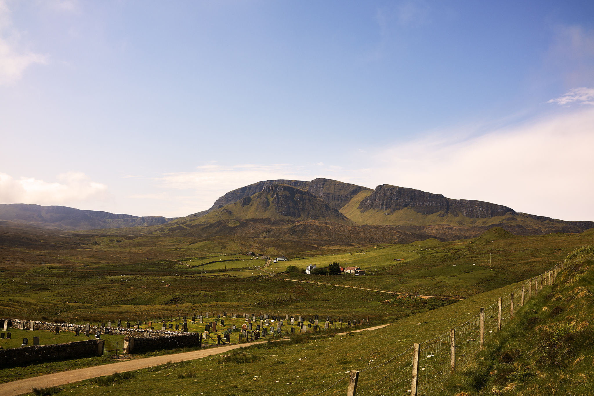
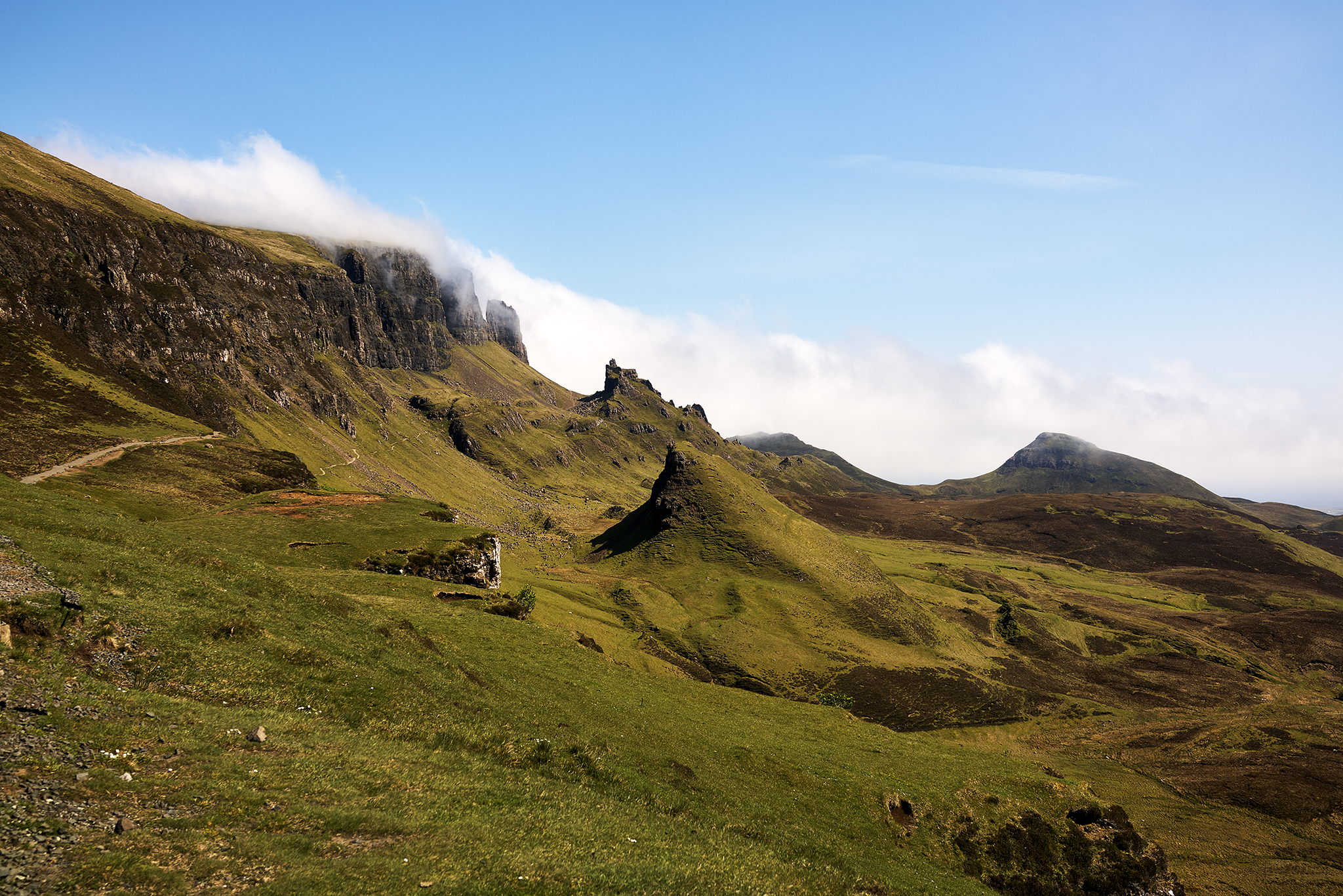
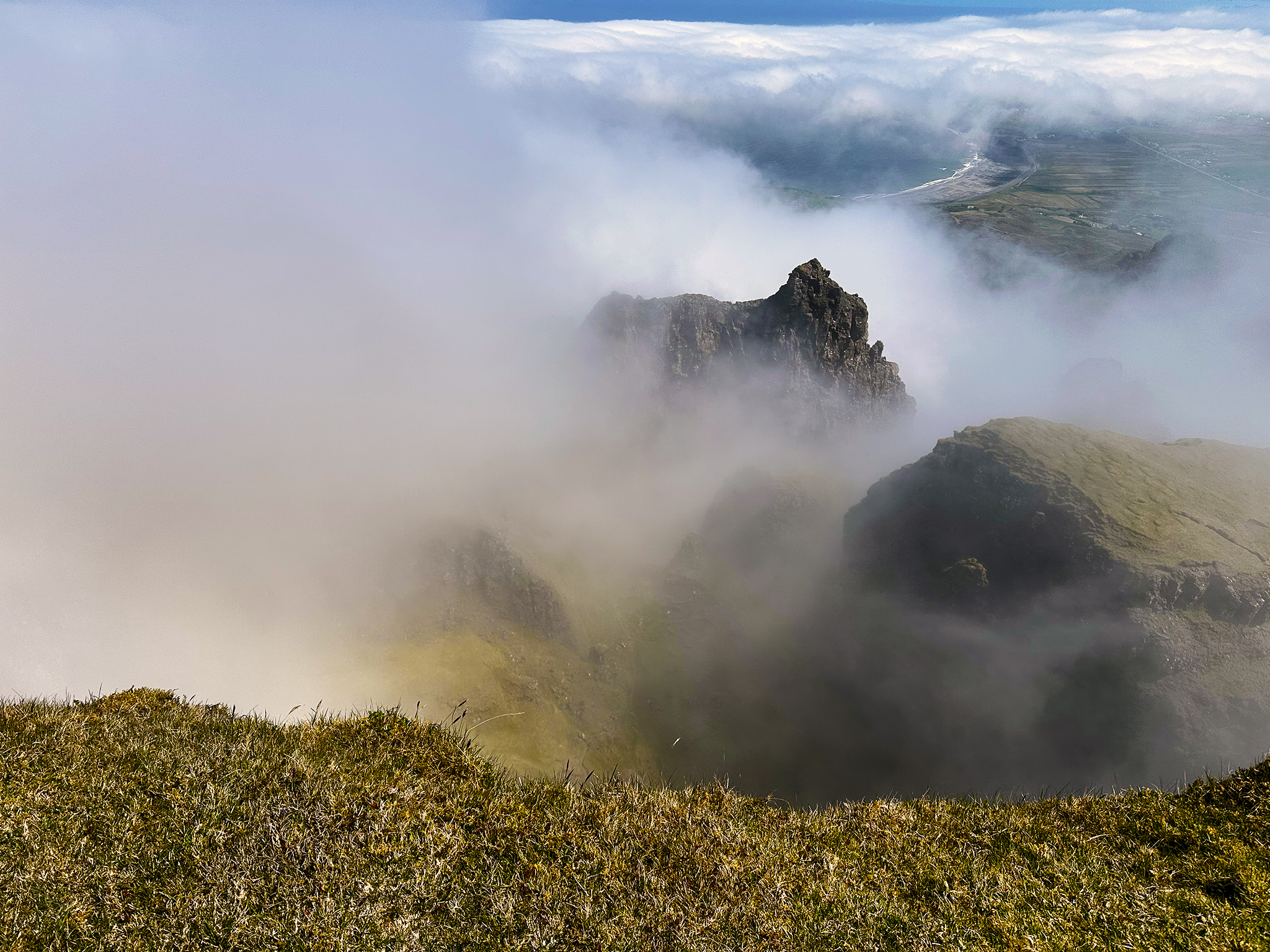
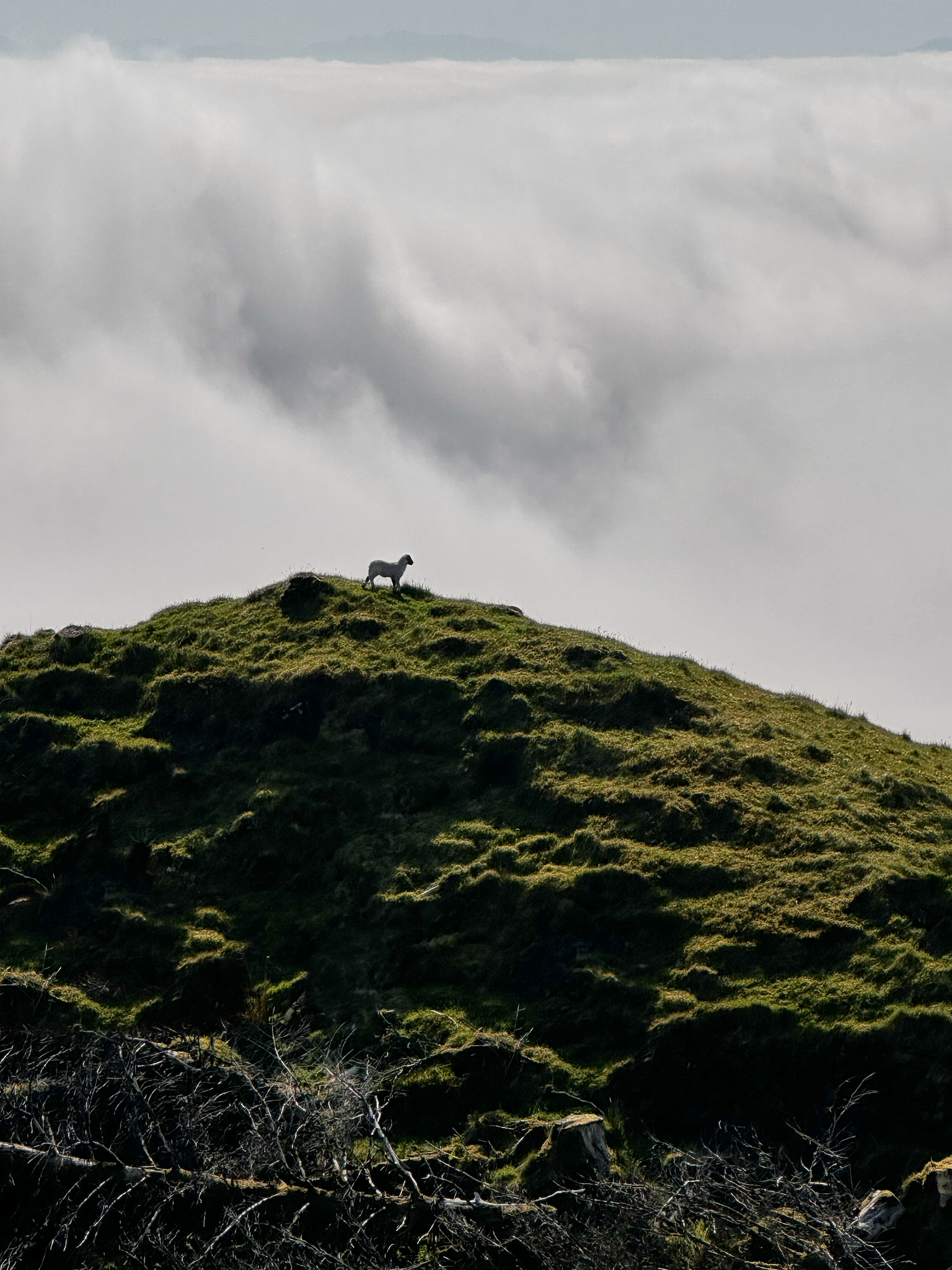
Stand Above the Clouds and Hike Into the Mist
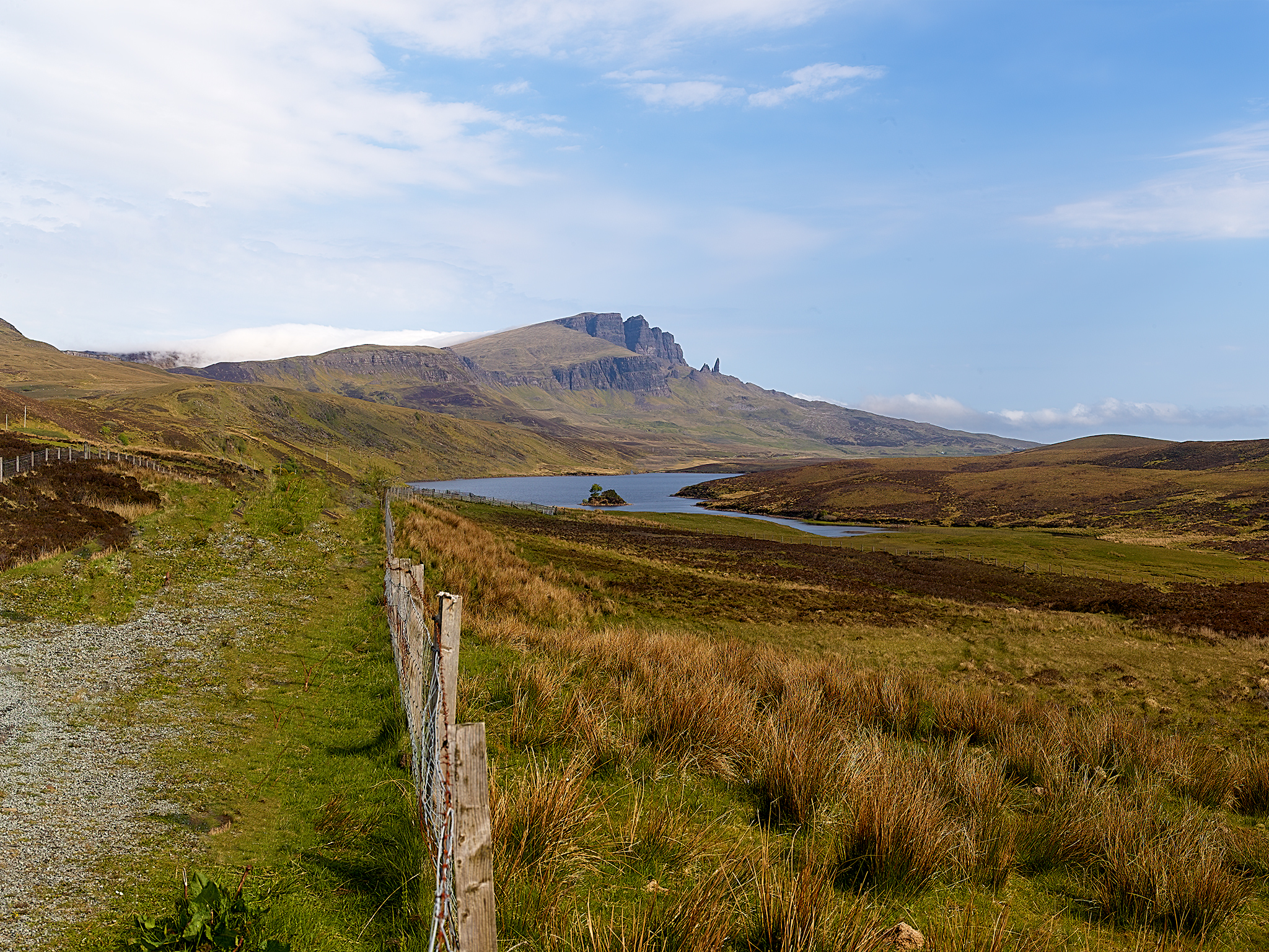
Storr on Approach

Above the mist at Old Man Storr. Film lovers might think Prometheus, and they would be correct.
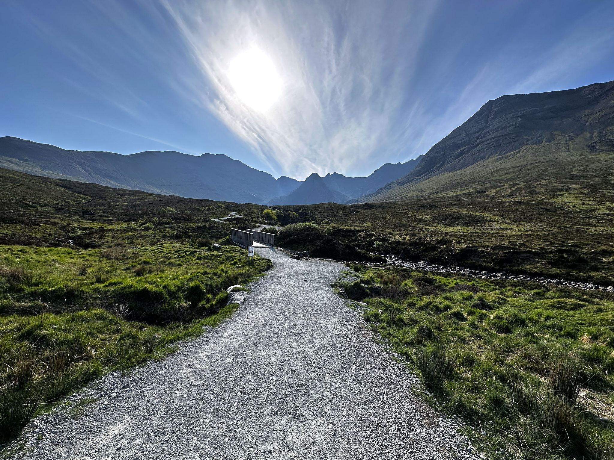
Quiraing on Approach
Up and Into the Mist at Quiraing.
Atop Quiraing.
The Fairy Pools of Cuillin Hills in the mid-morning sun
Experience Villages That Appear to be Frozen In Time
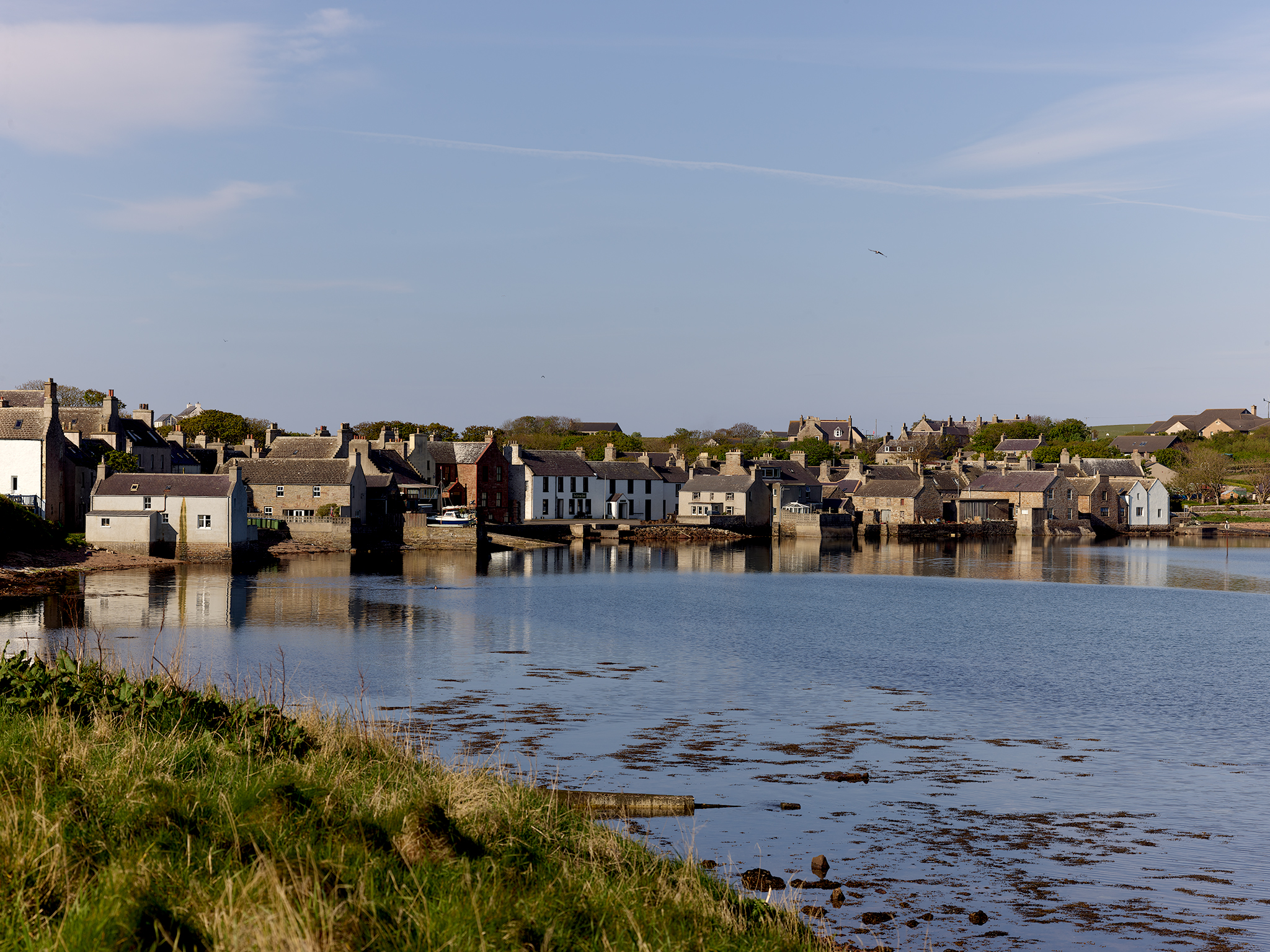
The Day Begins in St. Margaret’s of Hope. The village on Orkney dates back to its first Chapel named after her in 1093.
Plockton on the Shores of Loc Carron. The Shores of Plockton and waters of Loc Carron provide a meal of King Scallop and Langoustine.
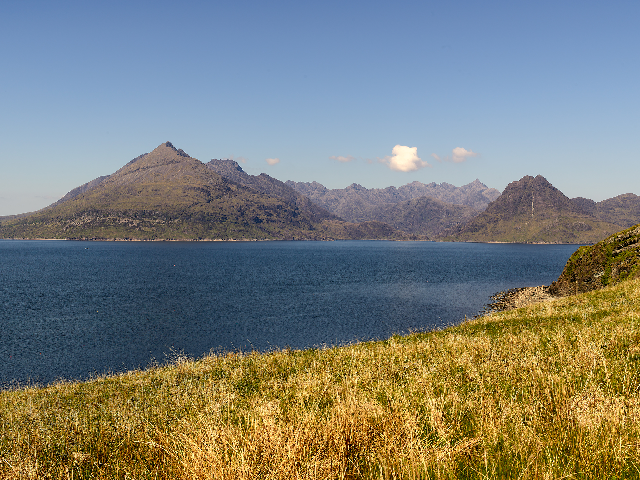
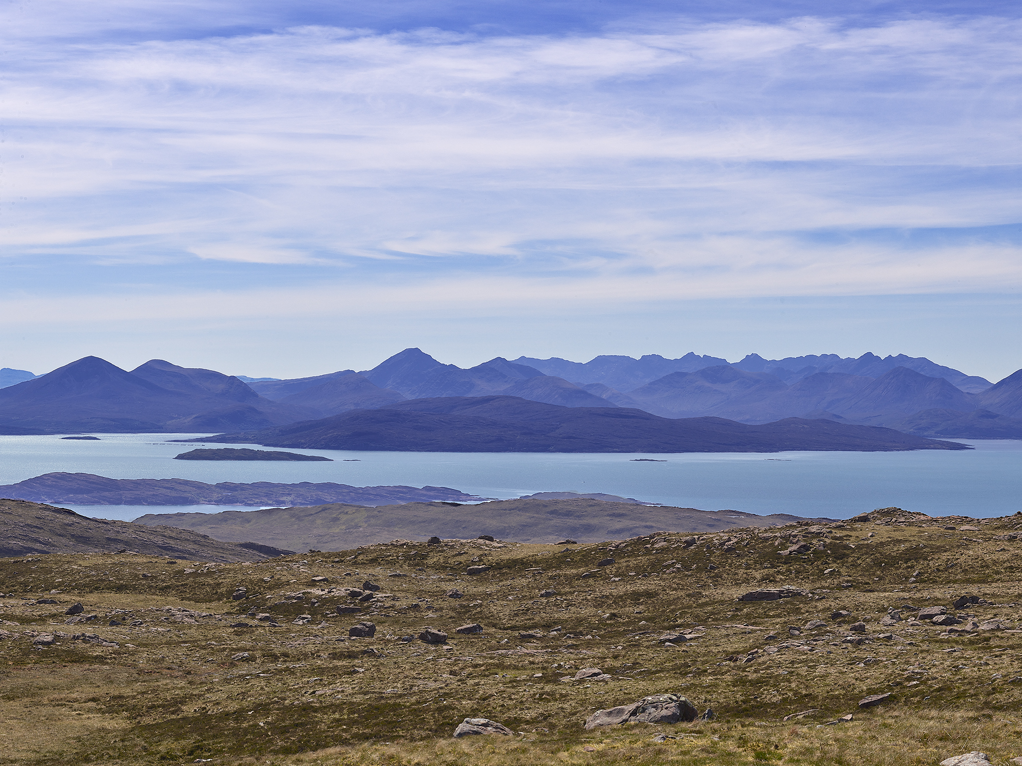
Blà Bheinn and the Cuillin Hills on a hot hazy day. From the village of Elgol, on the shores of Loch Scavaig towards the end of the Strathaird peninsula.
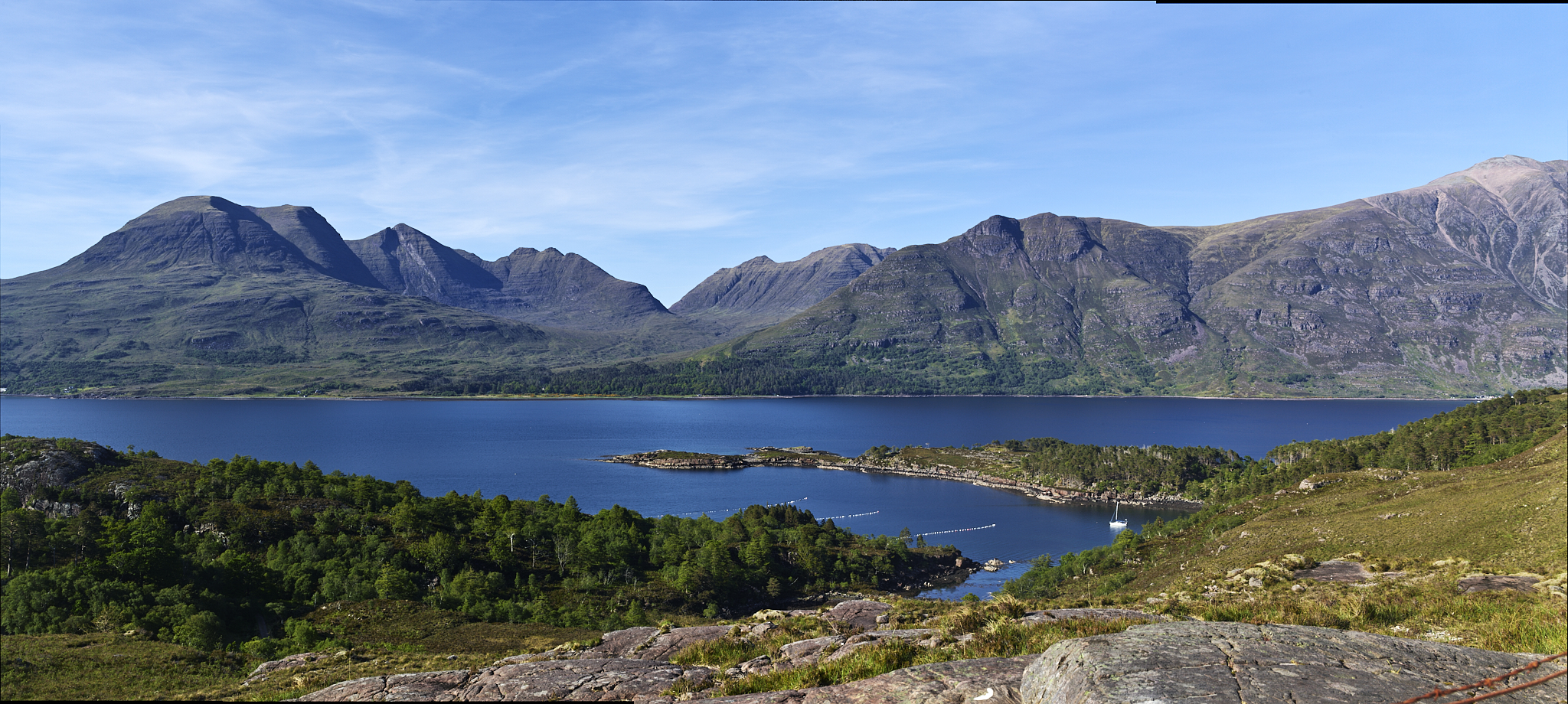
The village of Torridon in the late afternoon. Torridon and Torridon Glen are on the North Coast of Scotland.
The Castles Seem Endless
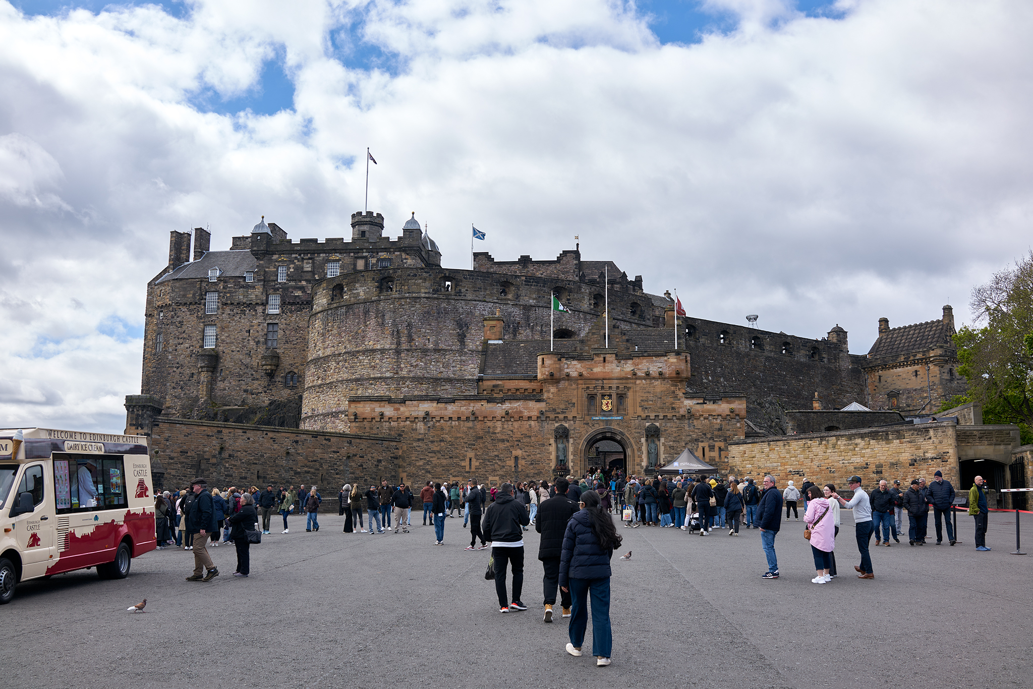
Edinburgh Castle.
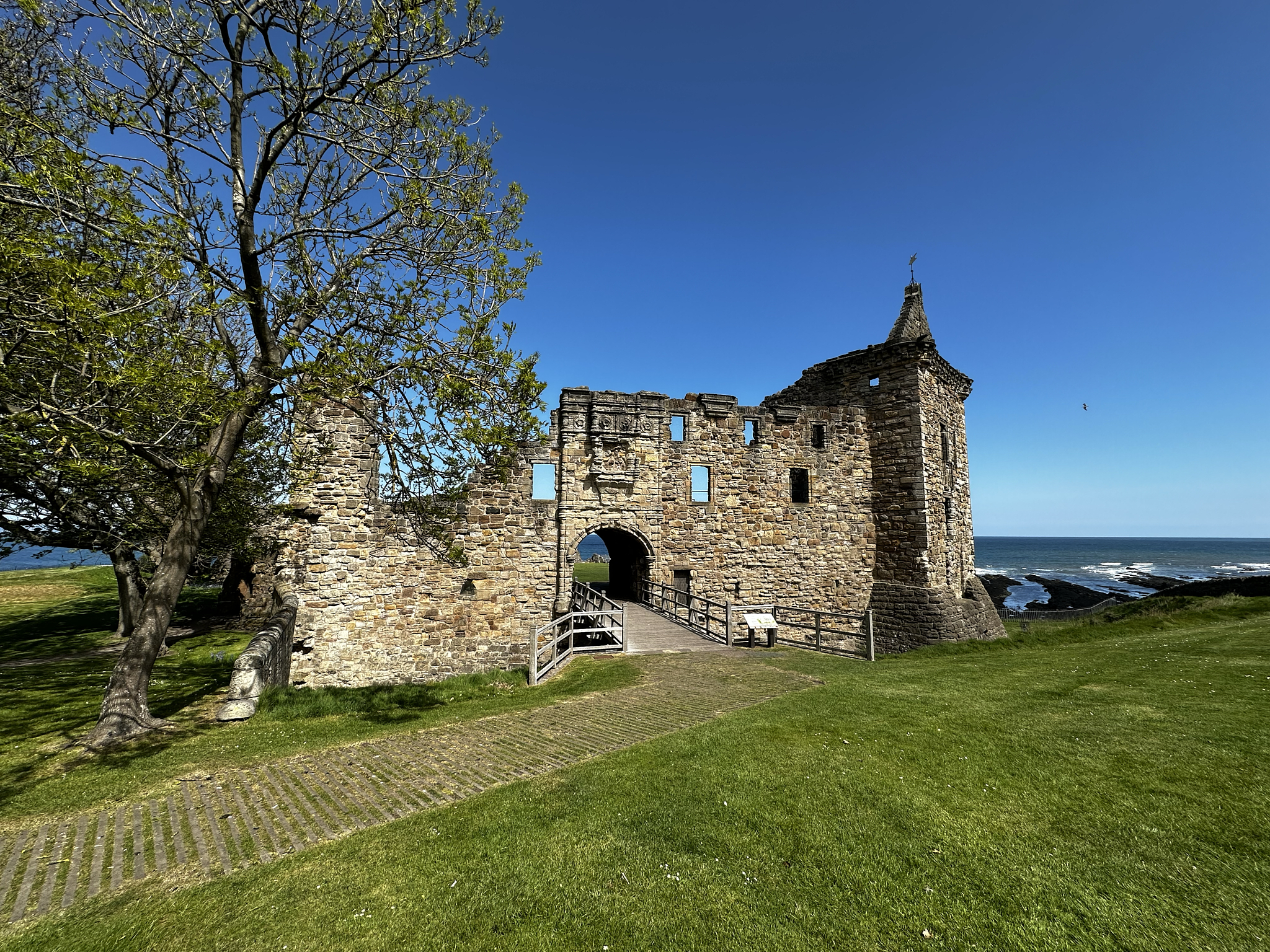
St. Andrews Castle.
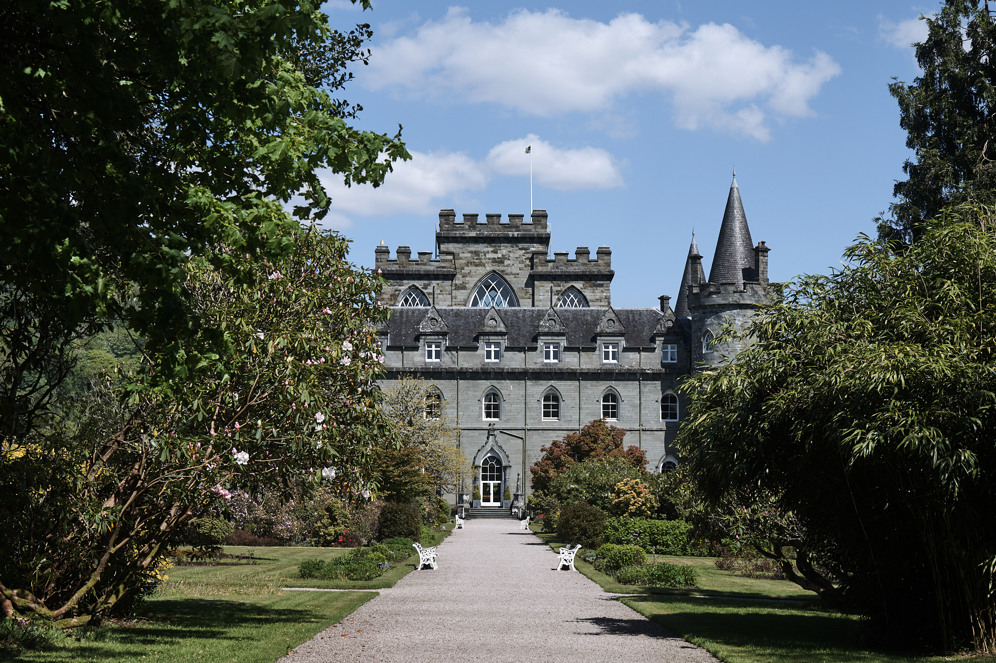
Inveraray Castle. Located on western shore of Loch Fyne.
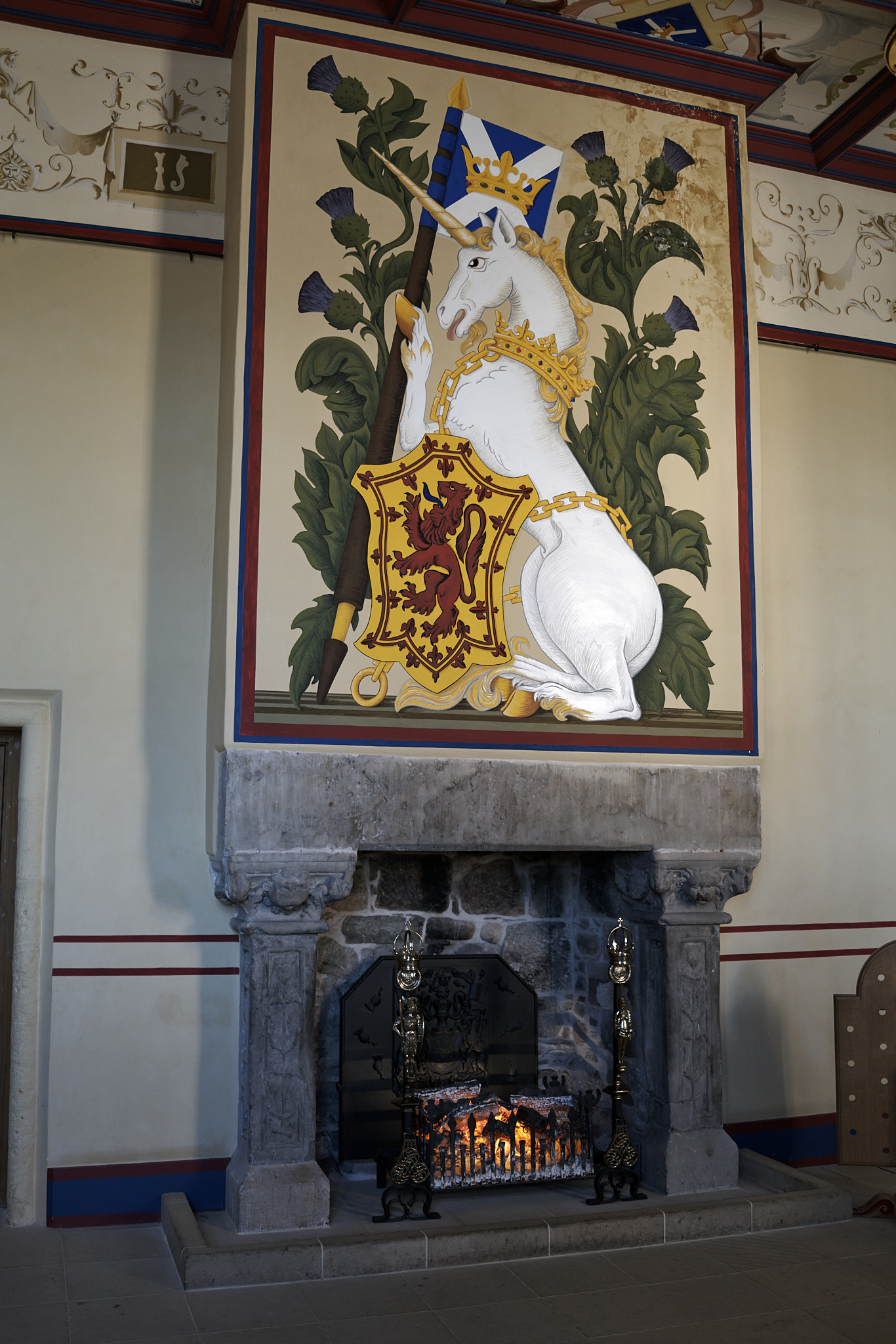
Stirling Castle in the King’s Chamber.
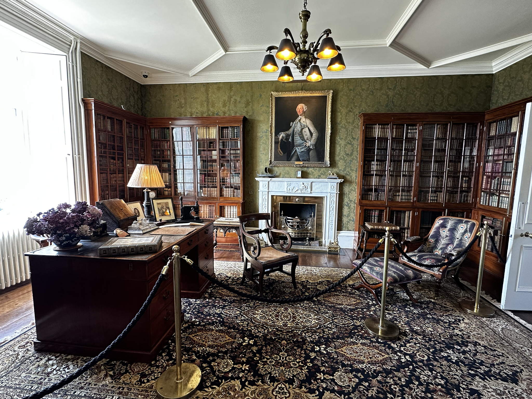
Dunvegan Castle (Caisteal Dhùn Bheagain) library. Located on the west reaches of The Isle of Skye.
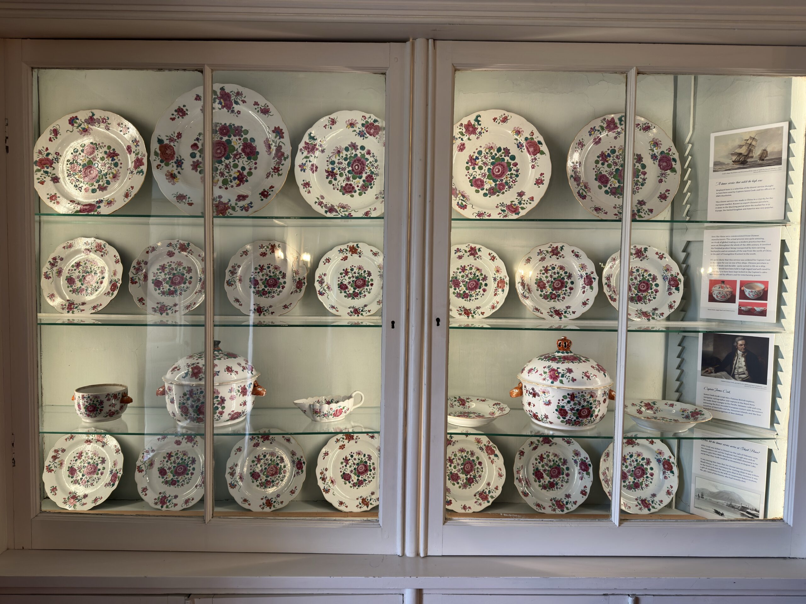
Skaill House. China that 247 years ago sat less than 500 yards from the beach of my home in Kauai.
Cathedrals, Churches and Chapels
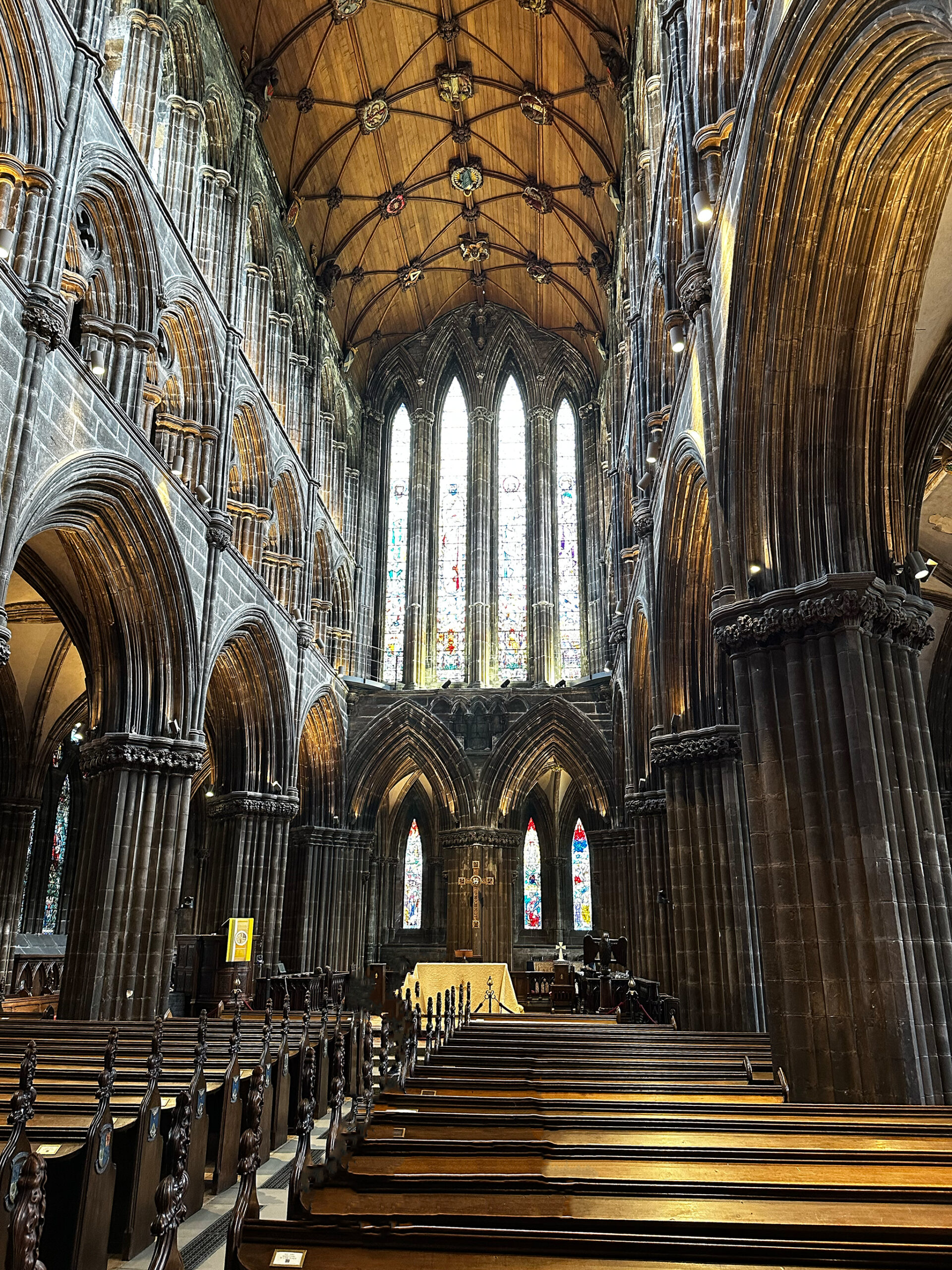
The Church of Scotland (Glasgow). One Cathedral, Three Churches, and 16 Chapels. Oldest in mainland Scotland dedicated 1197. Has survived virtually intact.
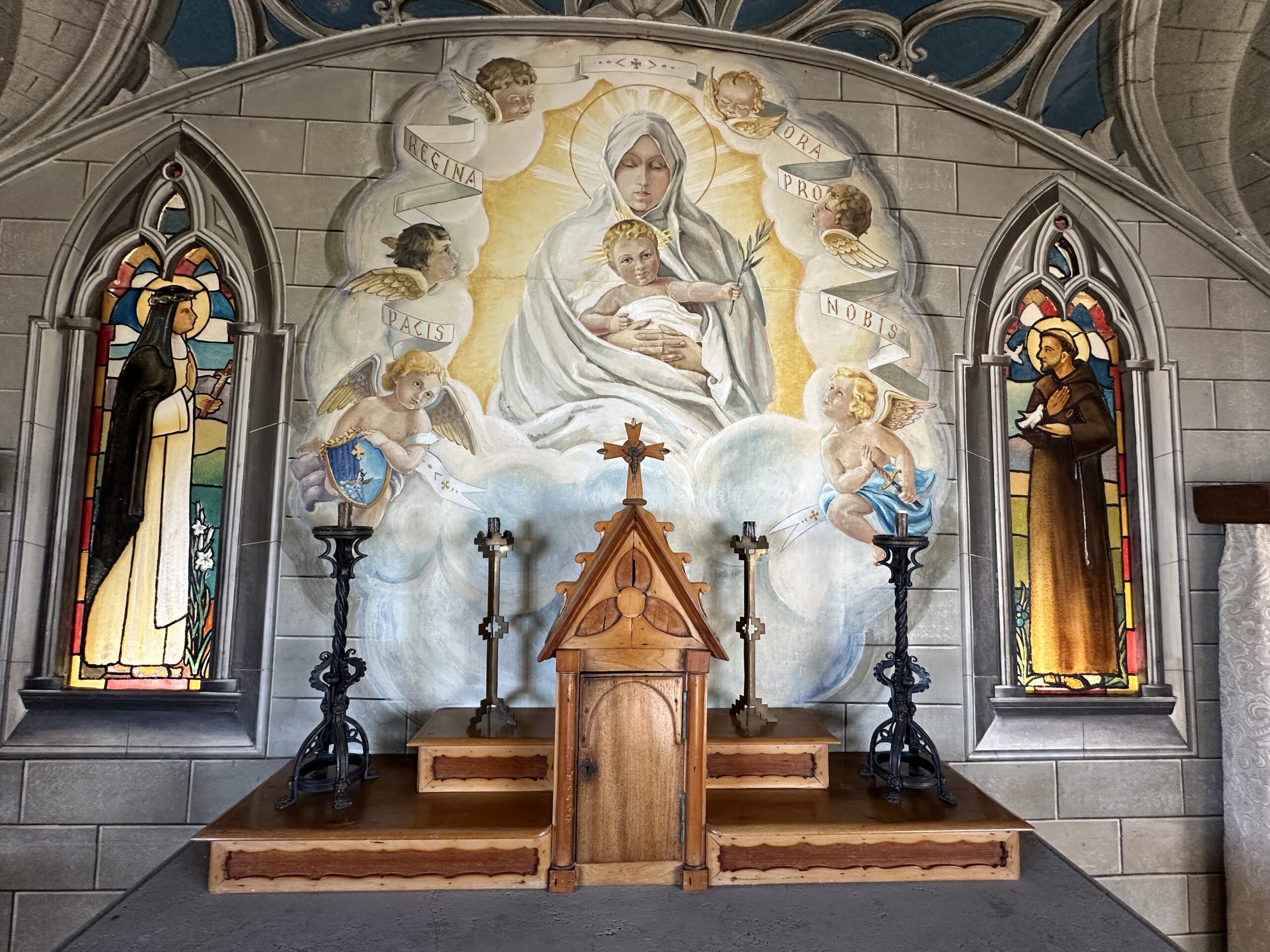
The Italian Chapel. A church built by Italian prisoners of war while constructing The Churchill Barriers on Orkney. Except for the Altarpiece, all in the picture is painted onto concrete and or metal.
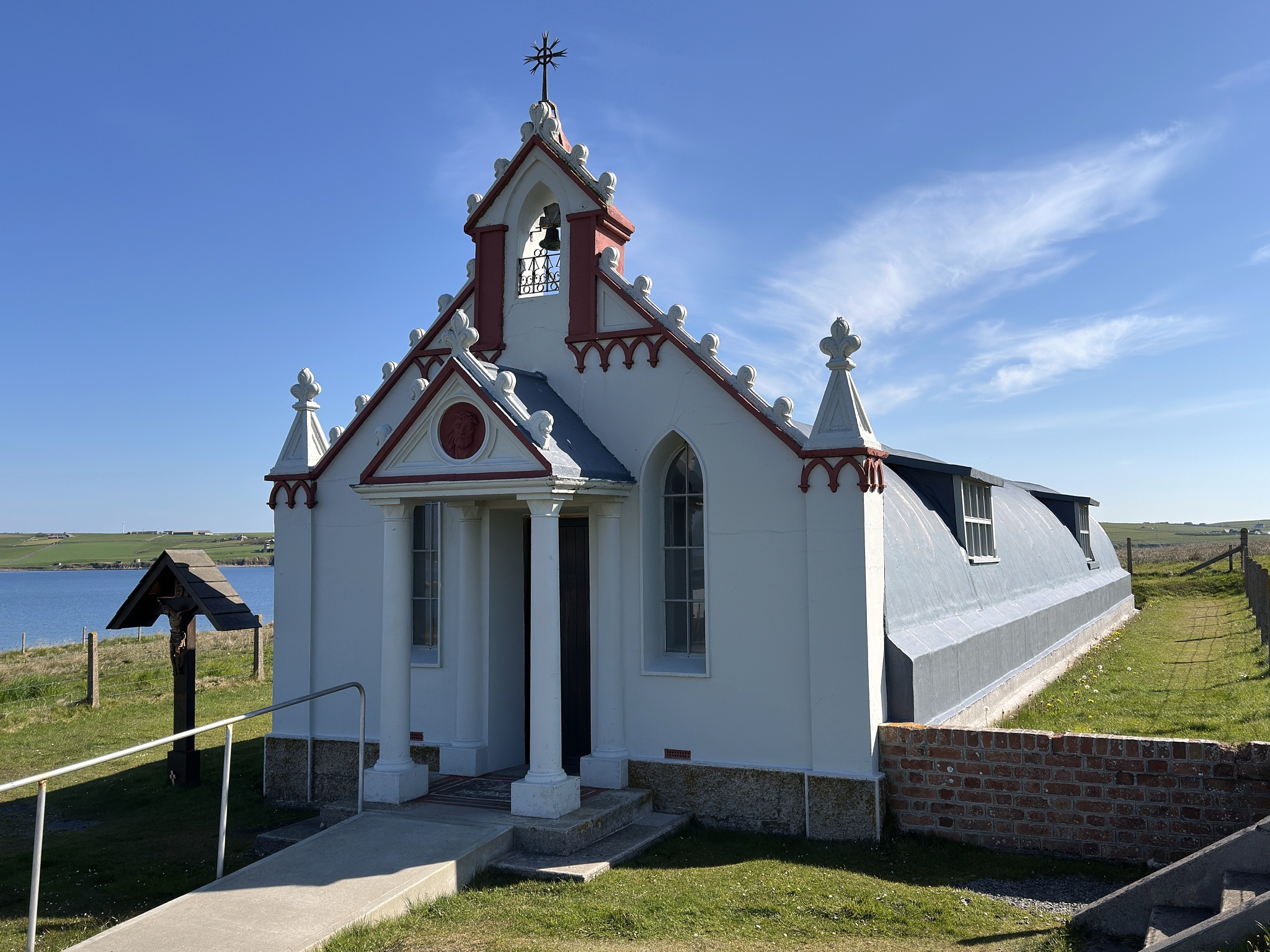
The story of the Italian Chapel is [here].
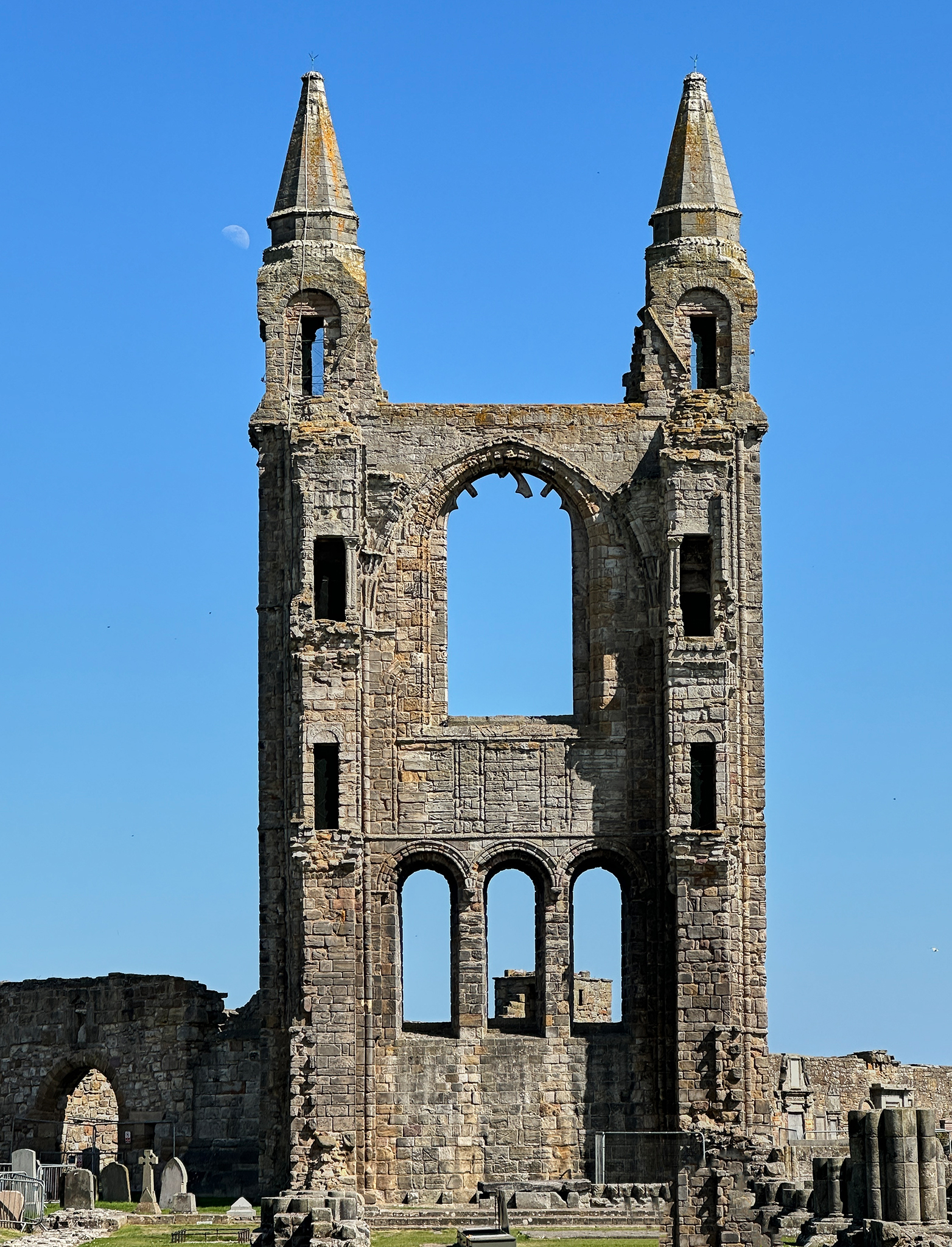
St. Andrews Cathedral.
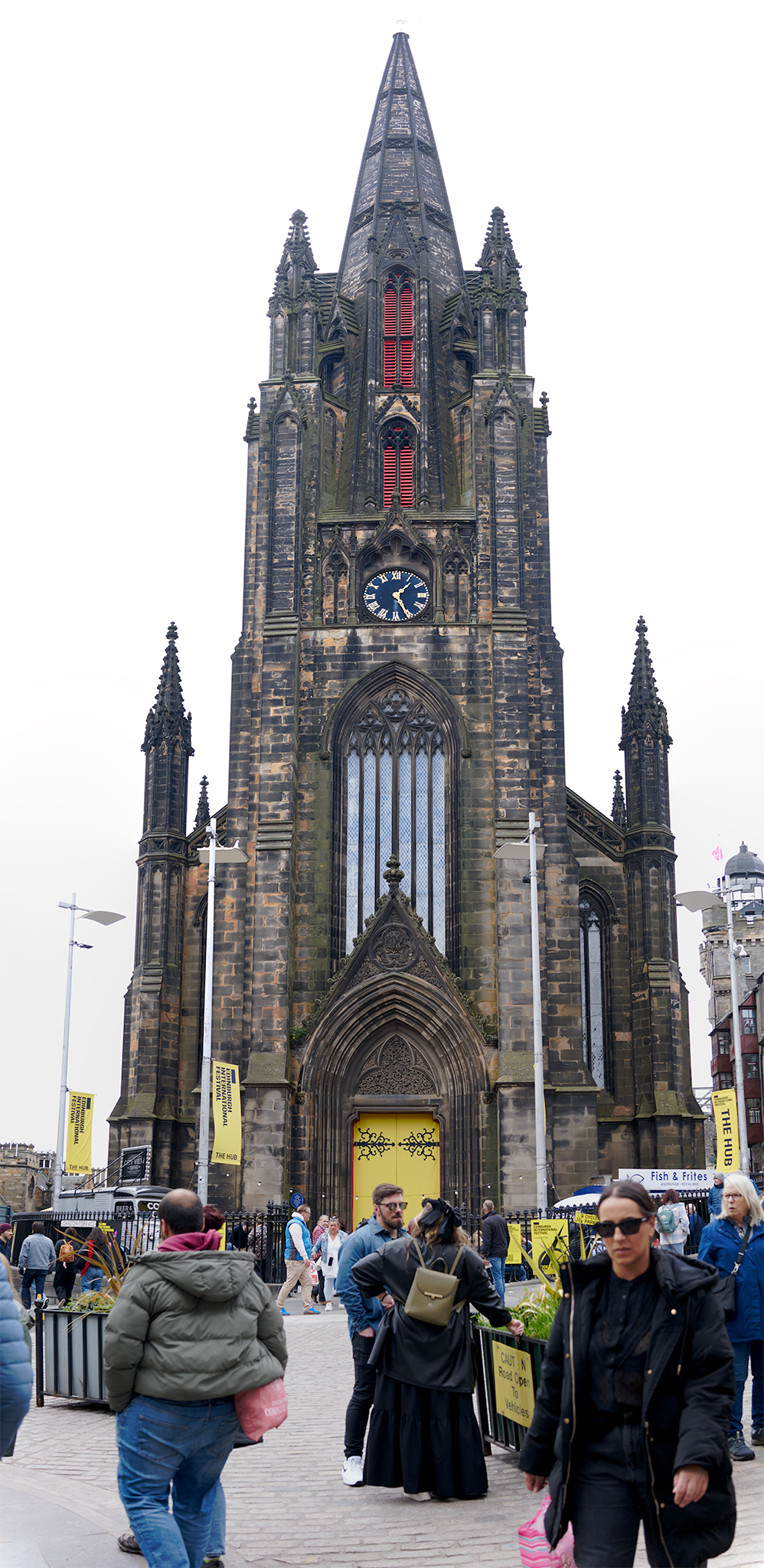
St. Giles Cathedral (Edinburgh).
Most Intriguing House of Worship?
St. Bridget’s Kirk is an abandoned House of Worship built in the 1100’s. It is located on the 117 mile long Fife Coastal Path at Dalgety Bay. It functioned in the role for over 700 years. The Kirk is situated in a tranquil setting with magnificent views. Similar to so many other fascinating aspects of Scotland, it is noted by a small sign marker by The Historic Scotland society but not in any major guidebooks.
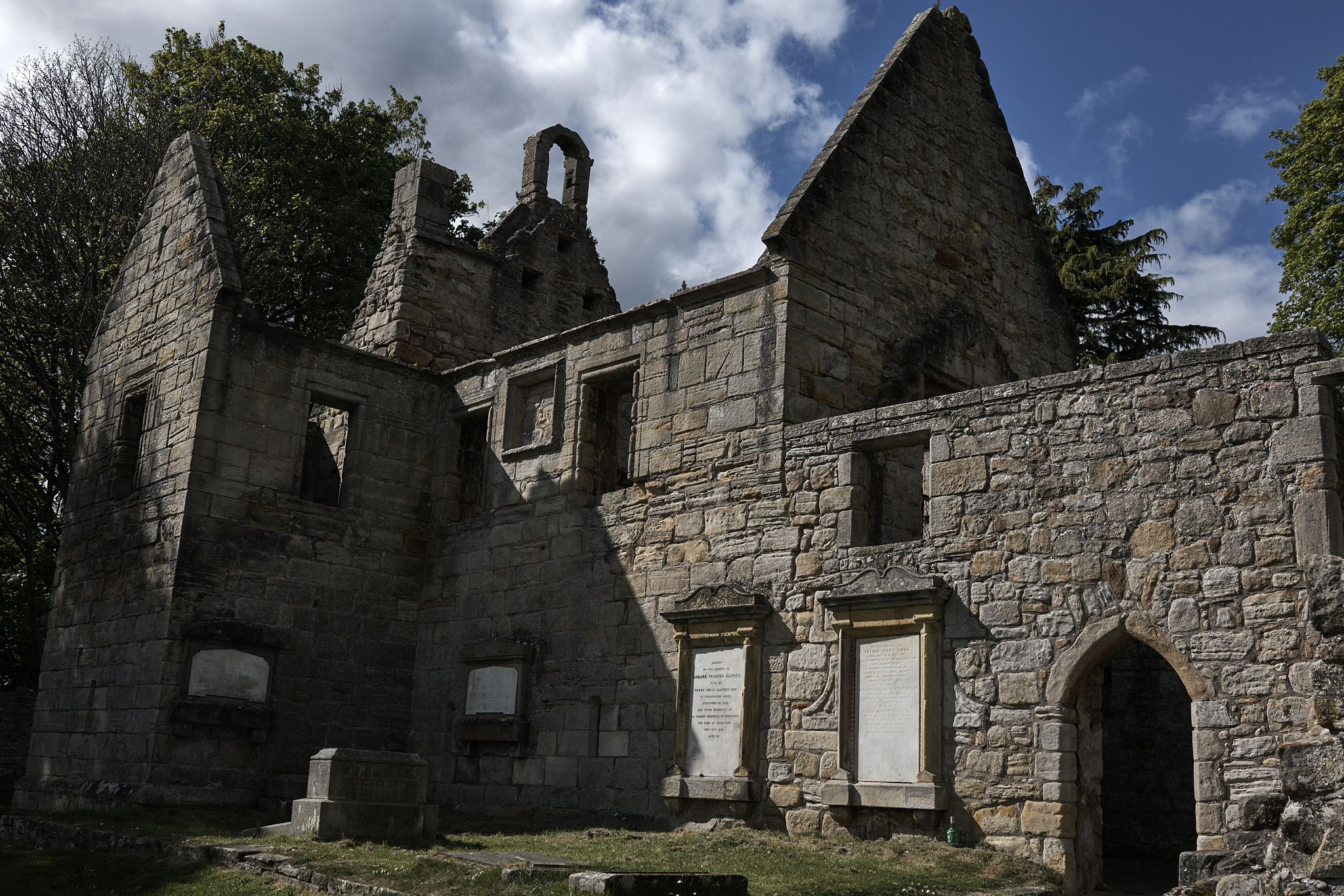
St Bridget’s Kirk.

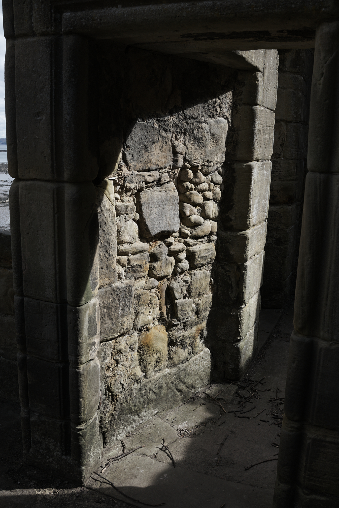
The view across Firth of Forth to Edinburgh from St. Bridget’s Kirk on Dalgety Bay at low tide.
Inside the ruins of St. Bridget’s Kirk.
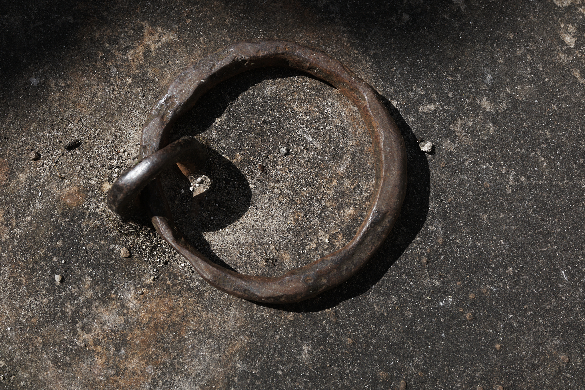
It appears shackles were available to assist with worshiping.
Ancient and Historical Sites and Museums
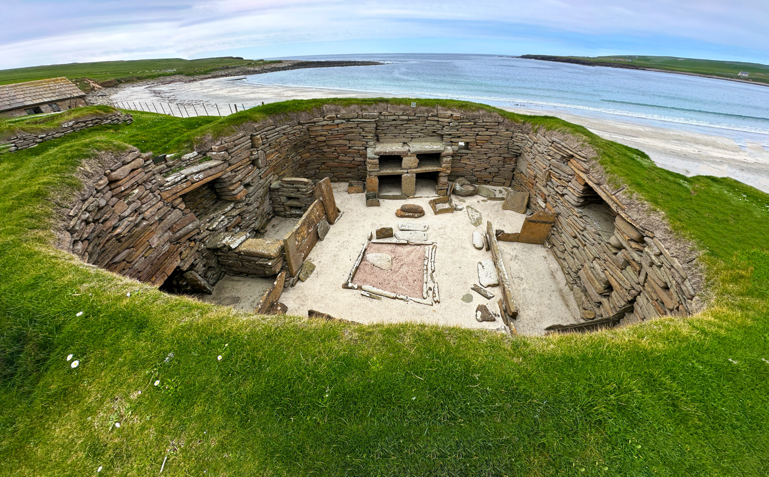
Skara Brae 5,000 year-old Neolithic Village on Orkney. People lived here 1,000 years before Stonehenge and, 2,500 before the Pyramids of Egypt.
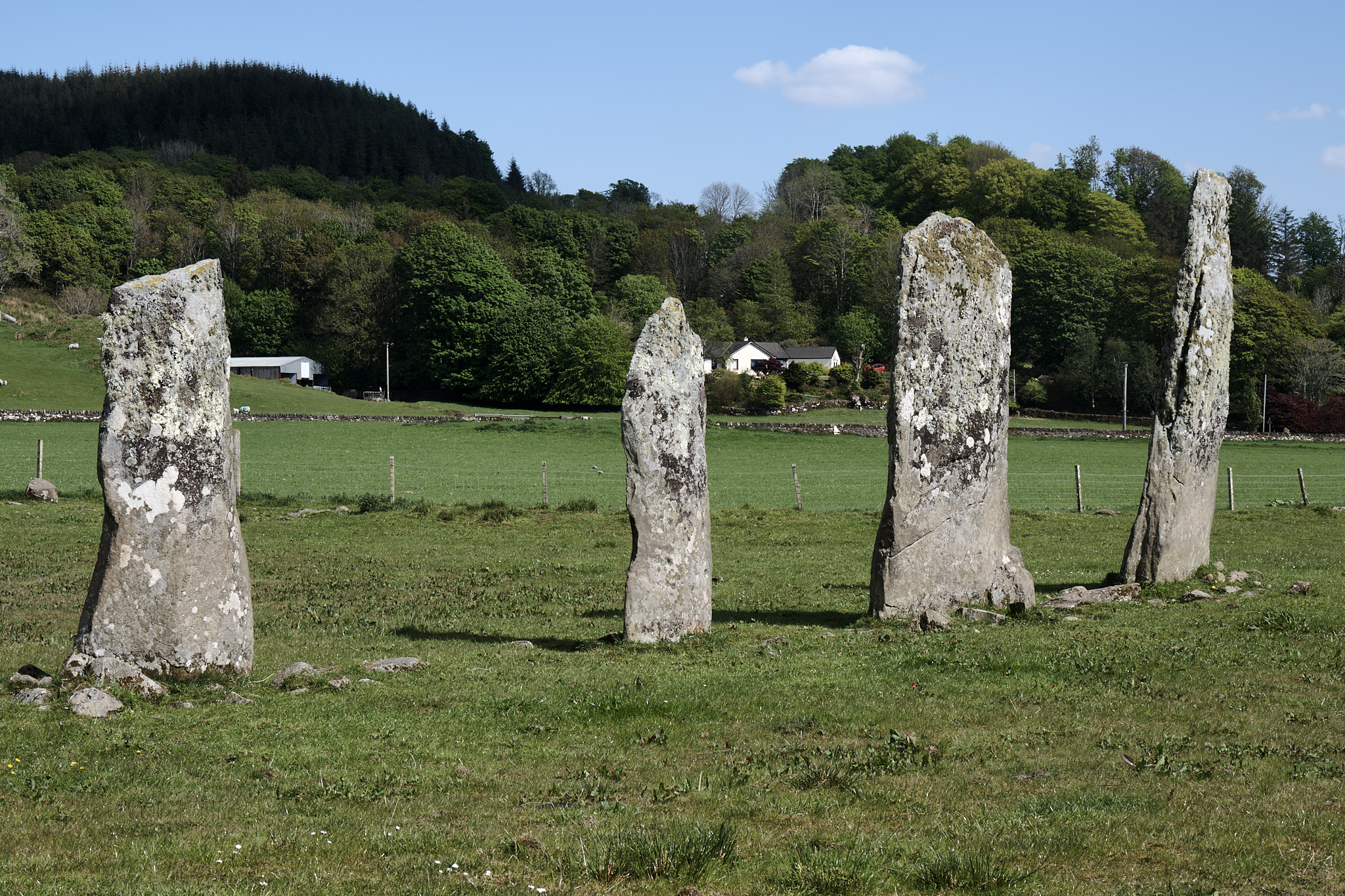
5,000 year-old Neolithic Markers in Kilmartin Glen in Western Scotland.
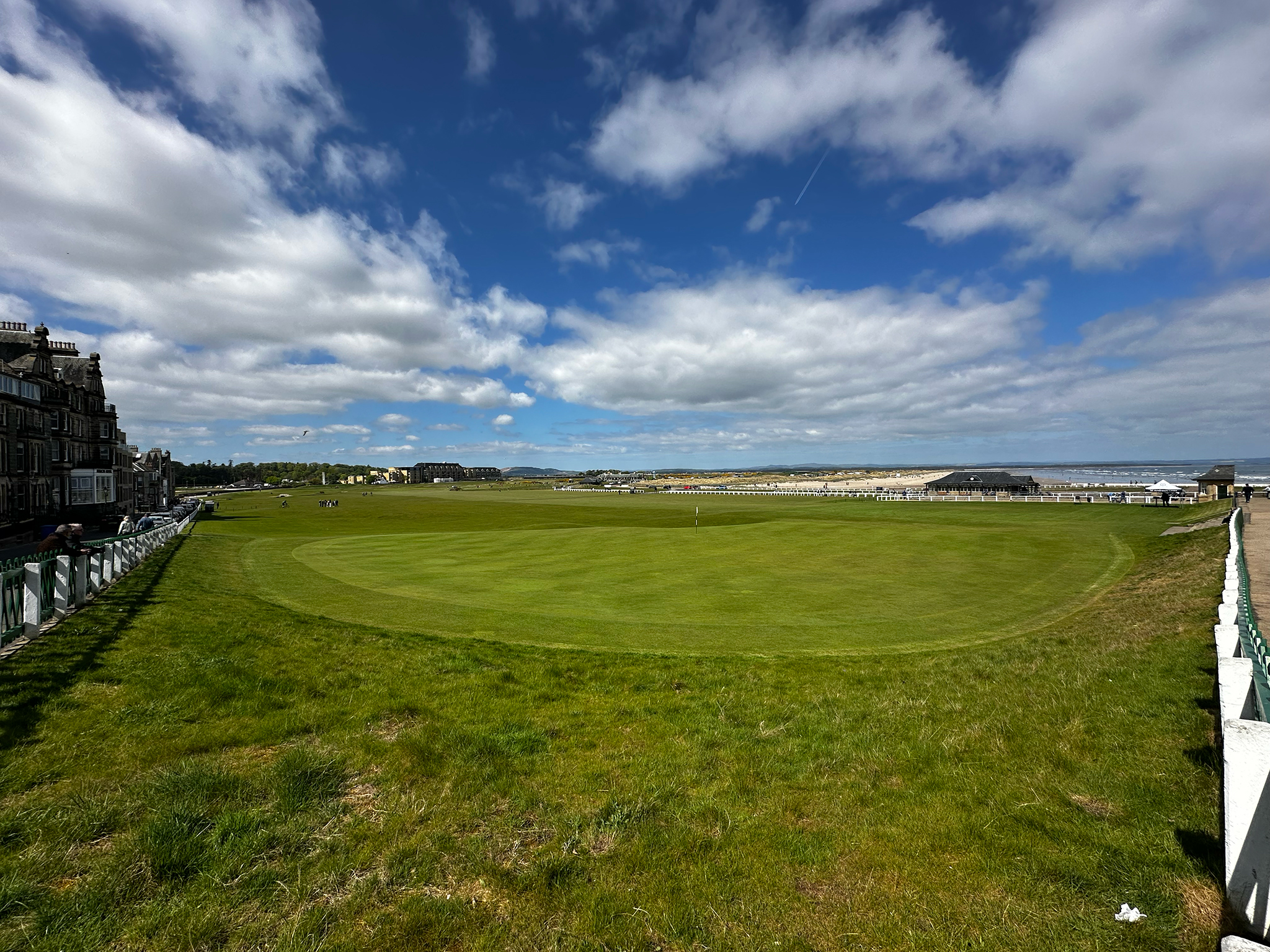
The Royal and Ancient Golf Club of St. Andrews. The birthplace of golf in 1554.
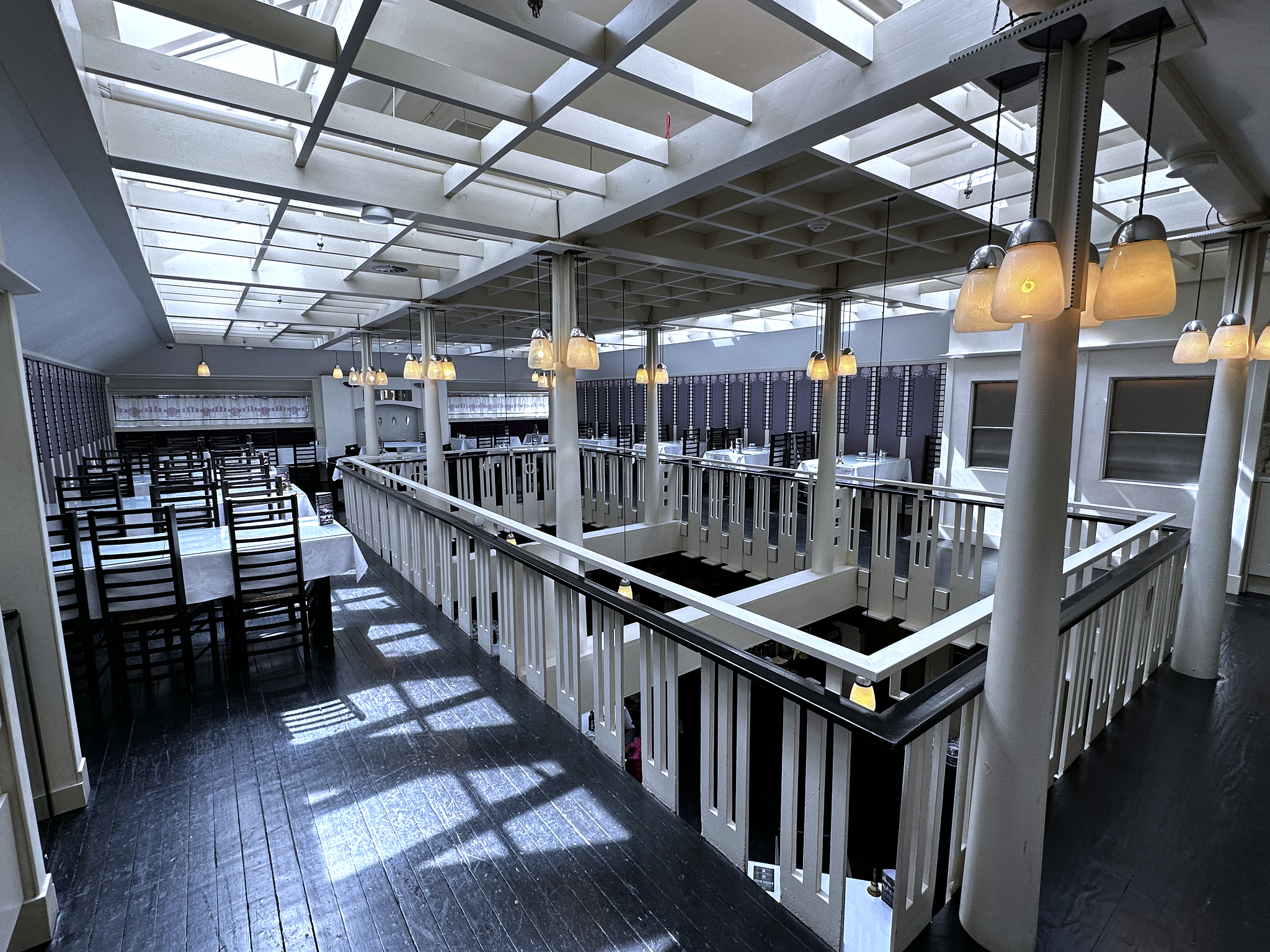
The Willow Tearoom in Glasgow. World Renown Charles Rennie Mackintosh its designer.

Tenement House (Glasgow). Occupied by Miss Agnes Toward for 5 decades. Frozen in the 1930’s consisting of all her possessions in a tenement building that is otherwise lived in today by regular people.
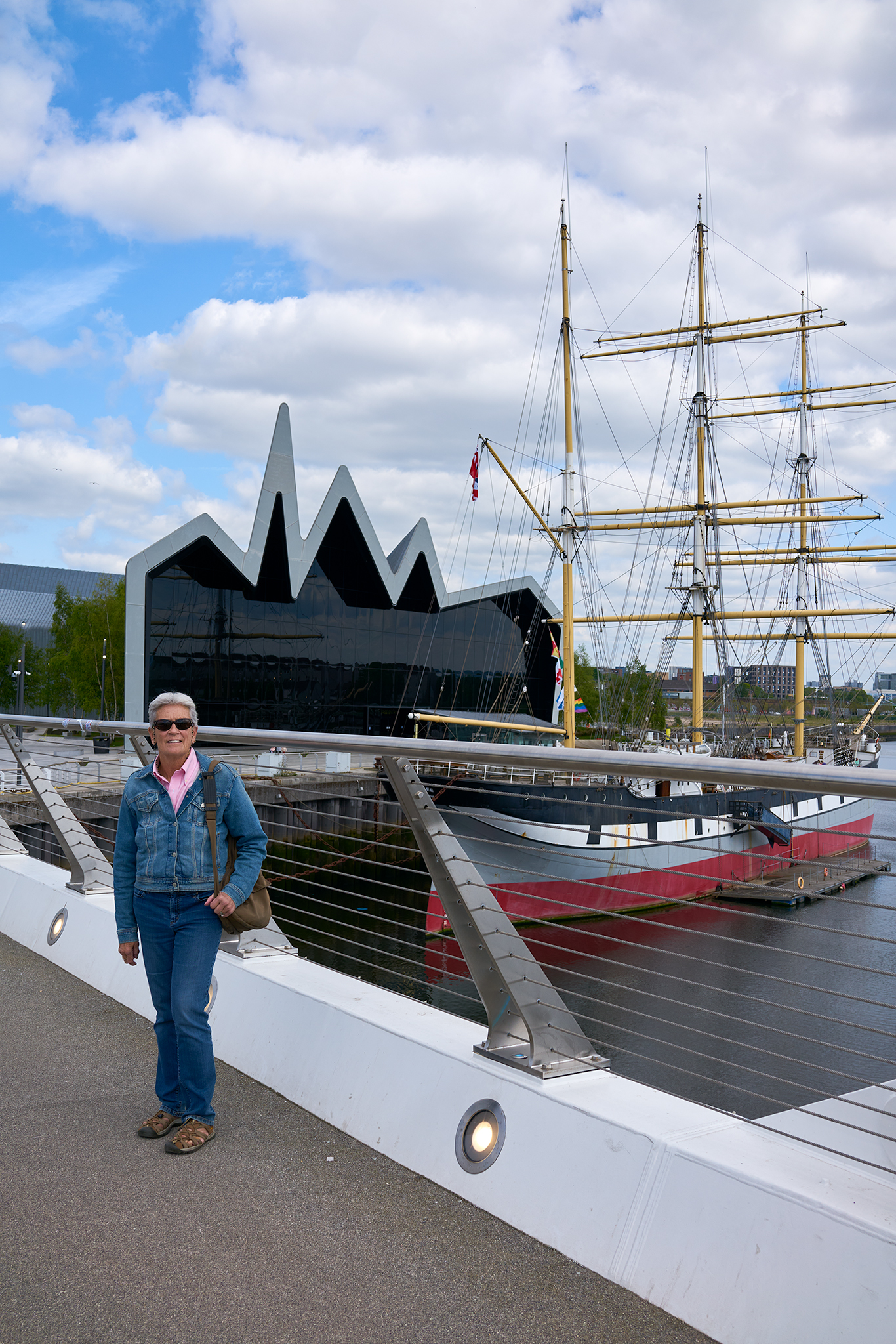
The Riverside Museum in Glasgow. A museum with 3,000+ objects. Few like it in the world. Free of charge and worth every minute.
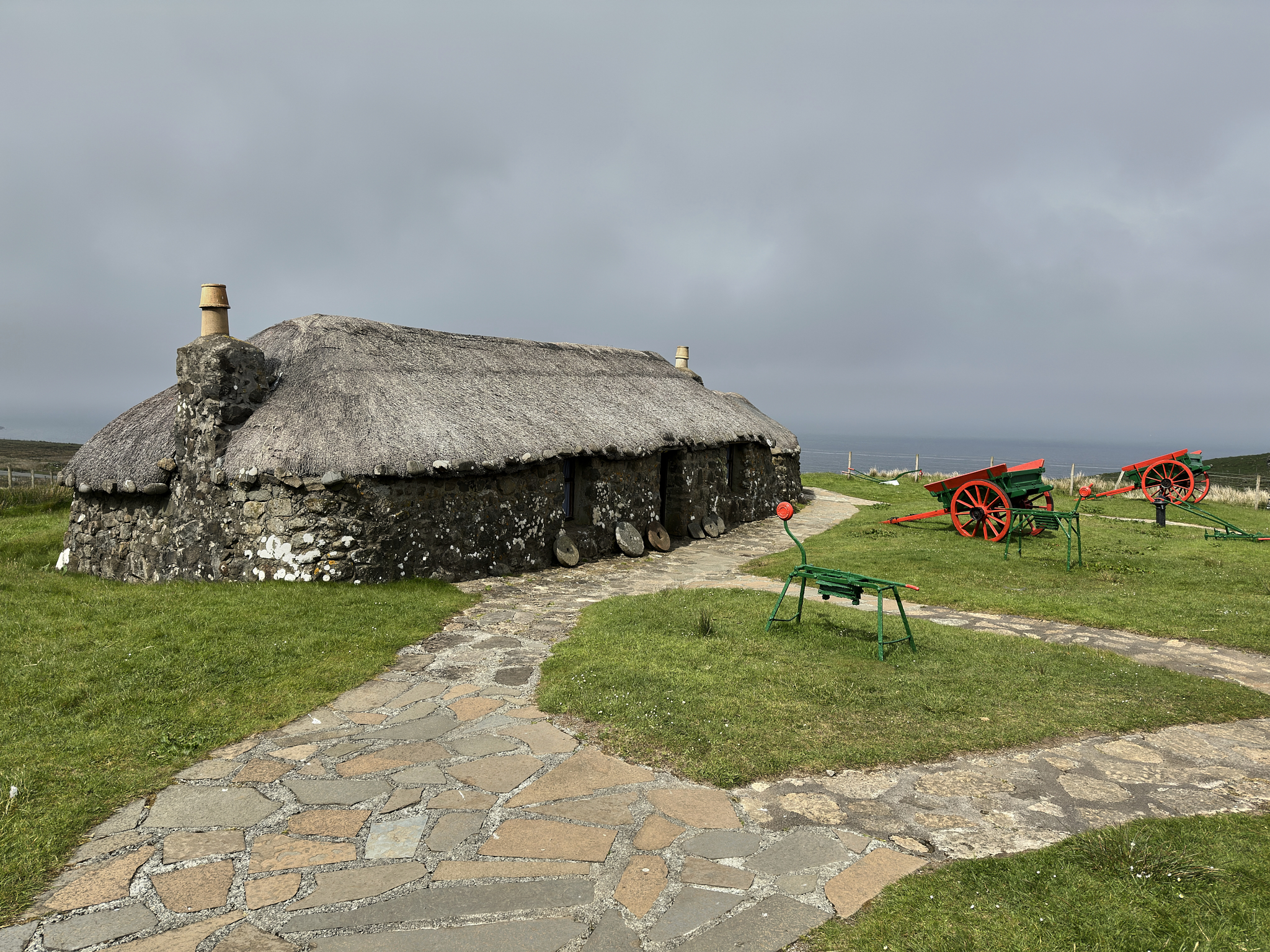
Skye Museum of Island Life. A croft house occupied until 1957. A fire of Peat burned in the fireplace day and night.
The Stirling Area
Stirling is near and dear to all Scots. It is a town and surrounding plain on the Forth River and Bannockburn stream. It is the place where the Highlands and Lowlands meet. For most of recorded time, he (or she) that controlled Stirling was in control of Scotland.
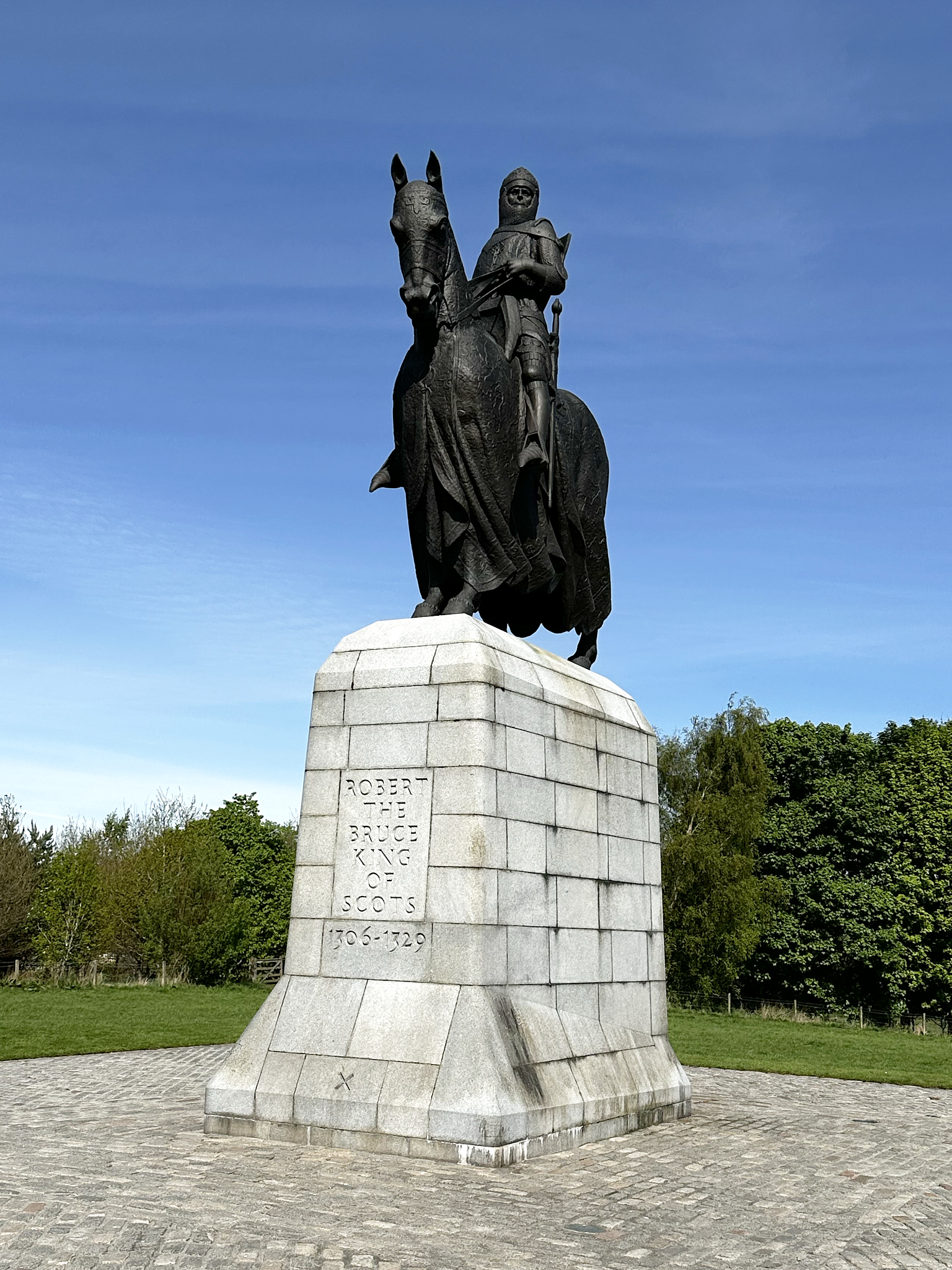
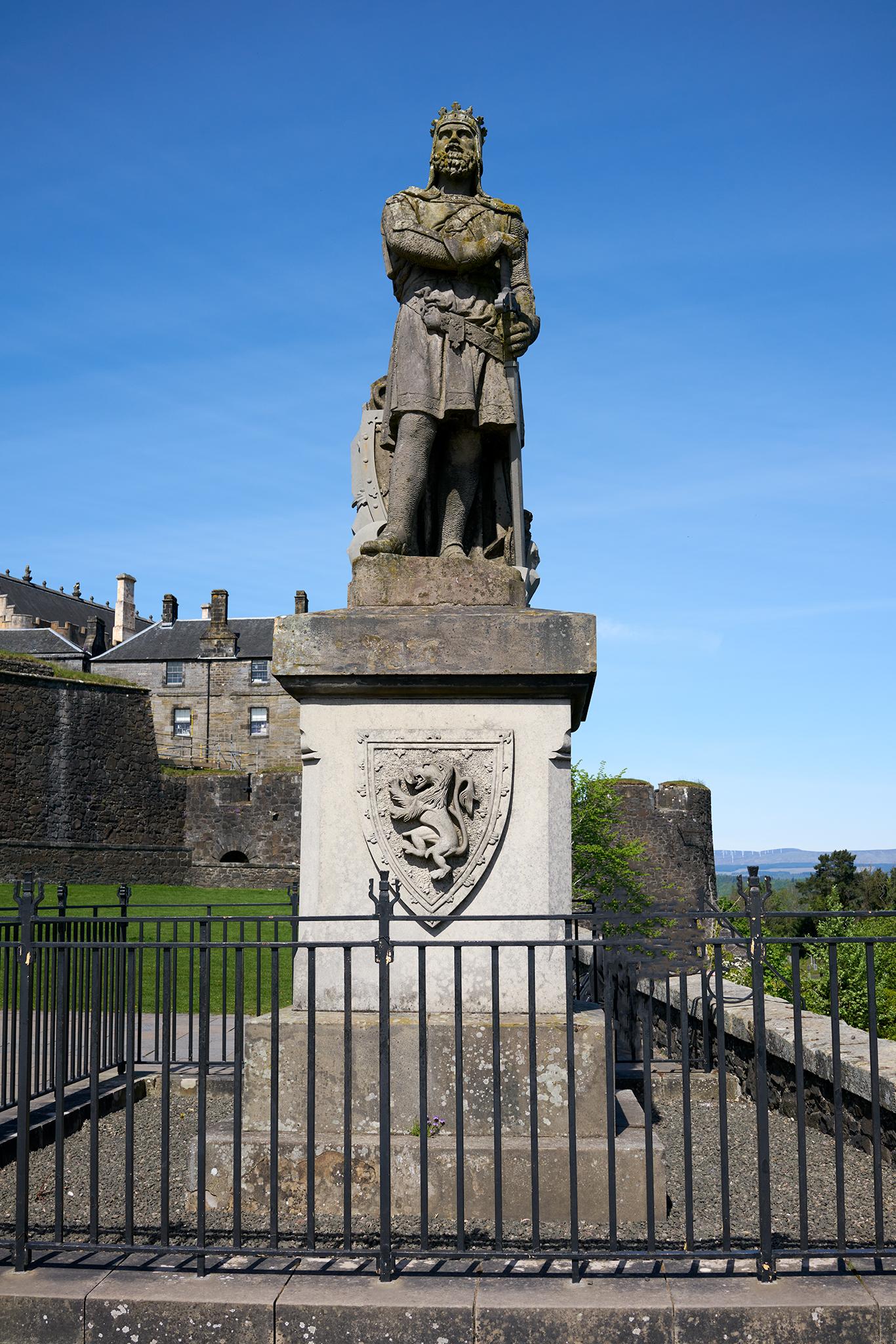
Robert The Bruce at the Battle of Bannockburn.
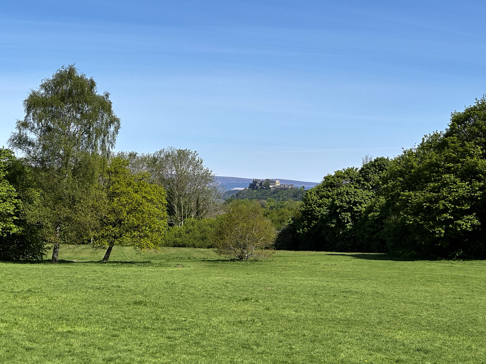
Bannockburn Battlefield looking to Stirling Castle.
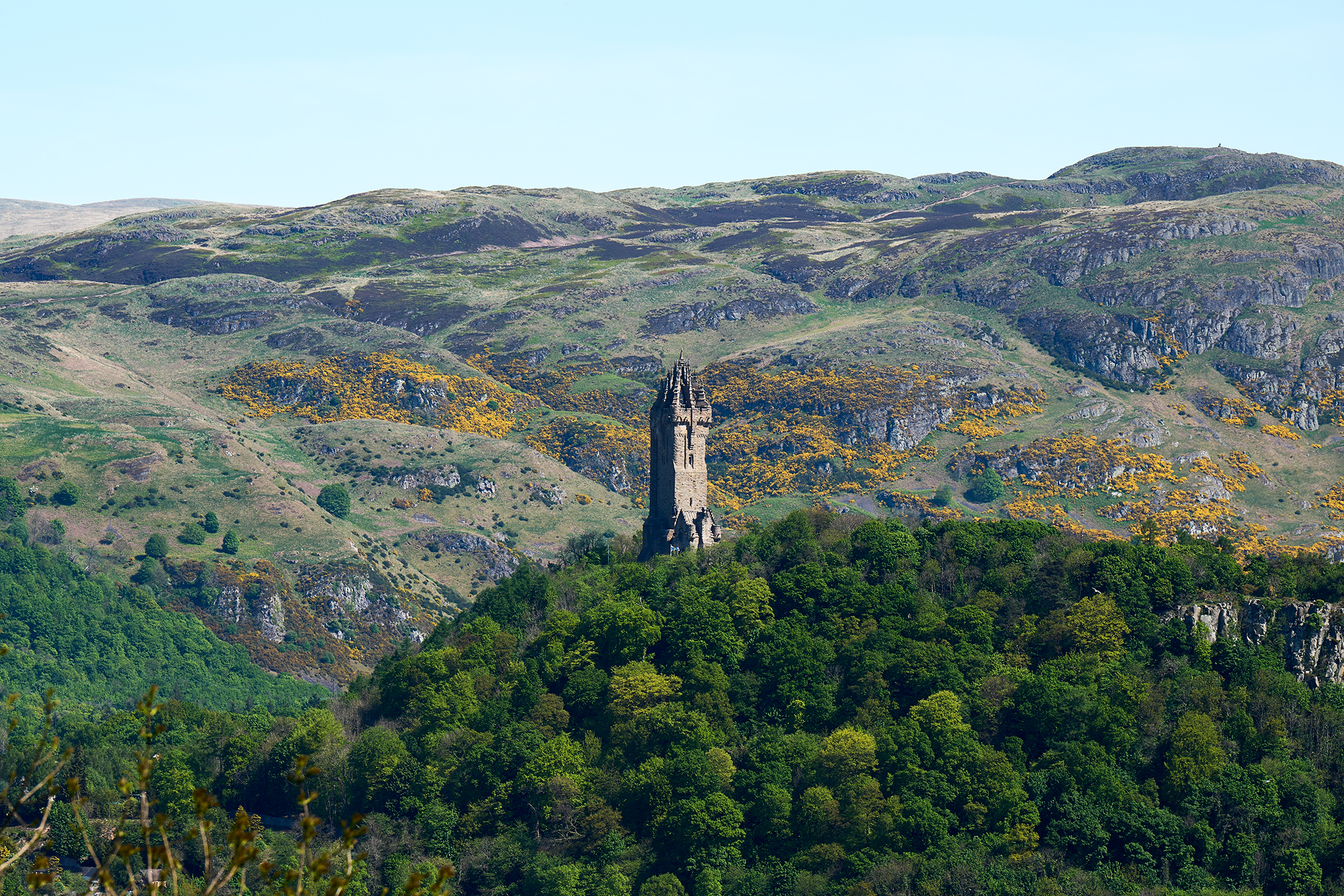
William Wallace National Monument as viewed from the Stirling Castle.
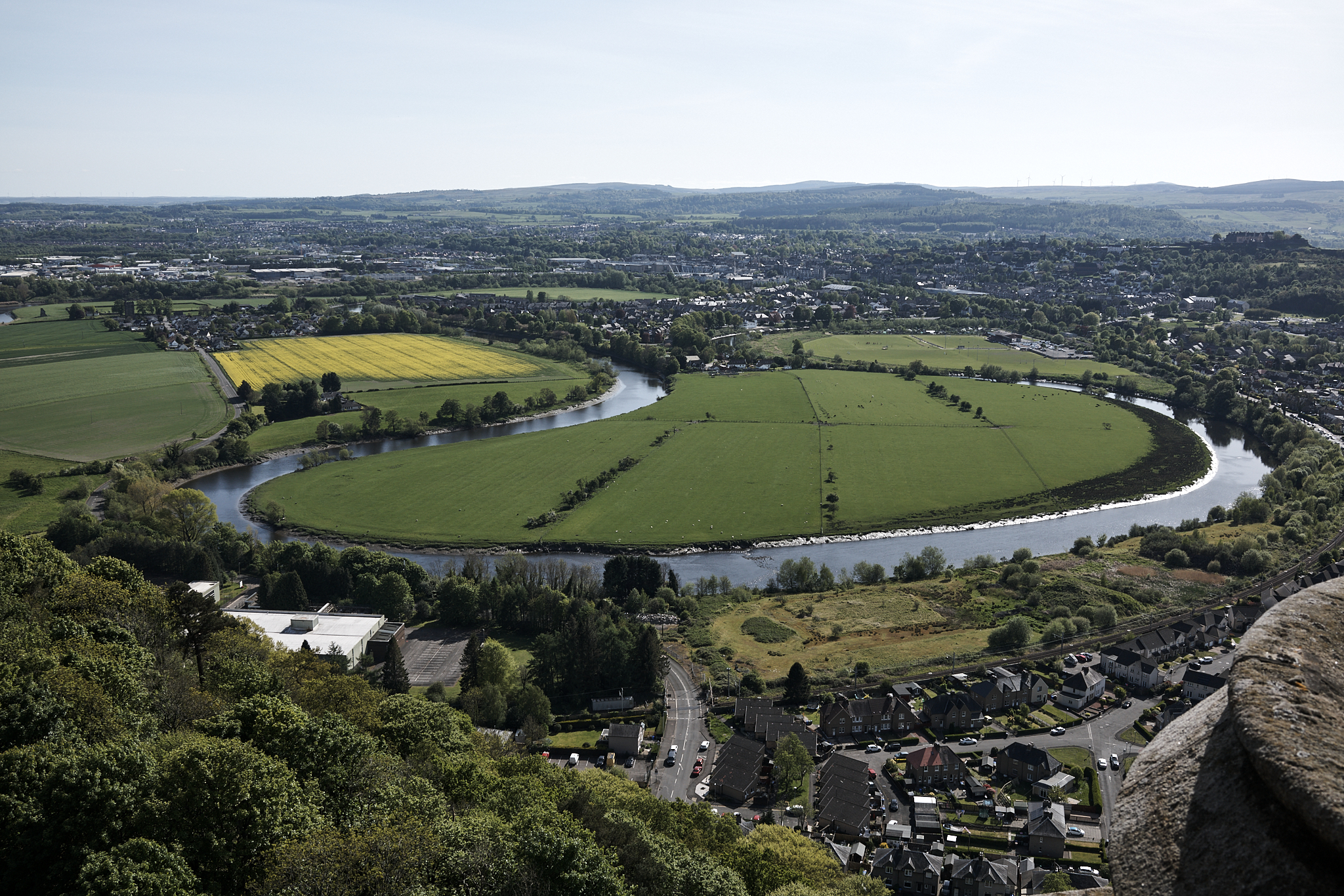
Looking upon the Battle of Stirling Bridge site as viewed from the top of the William Wallace National Monument.
William Wallace at Stirling Castle.
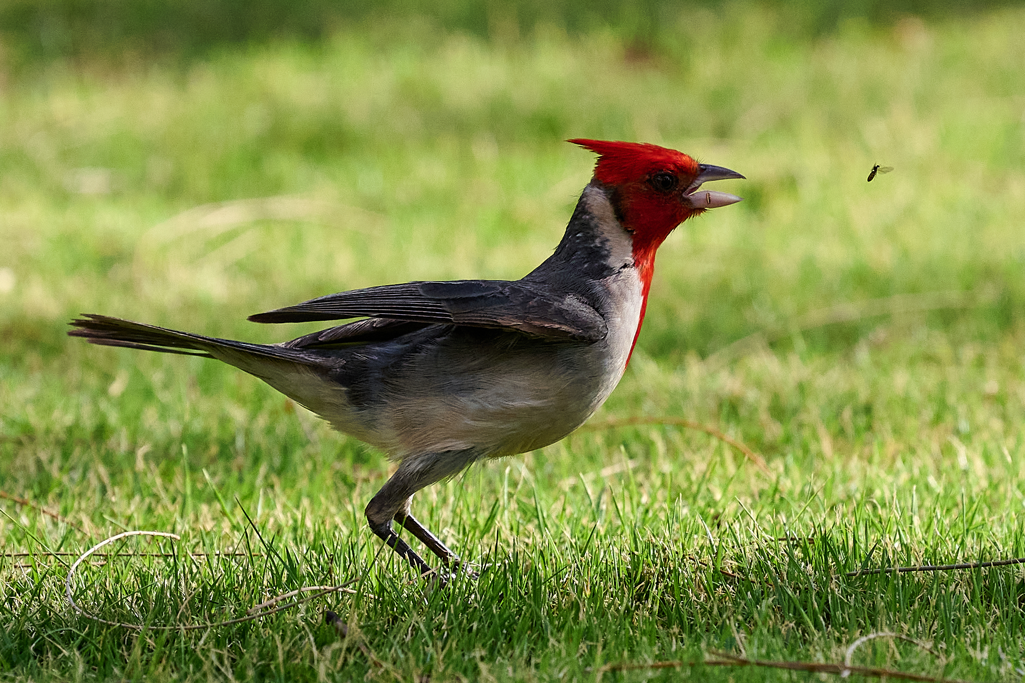
Animals and Wildlife
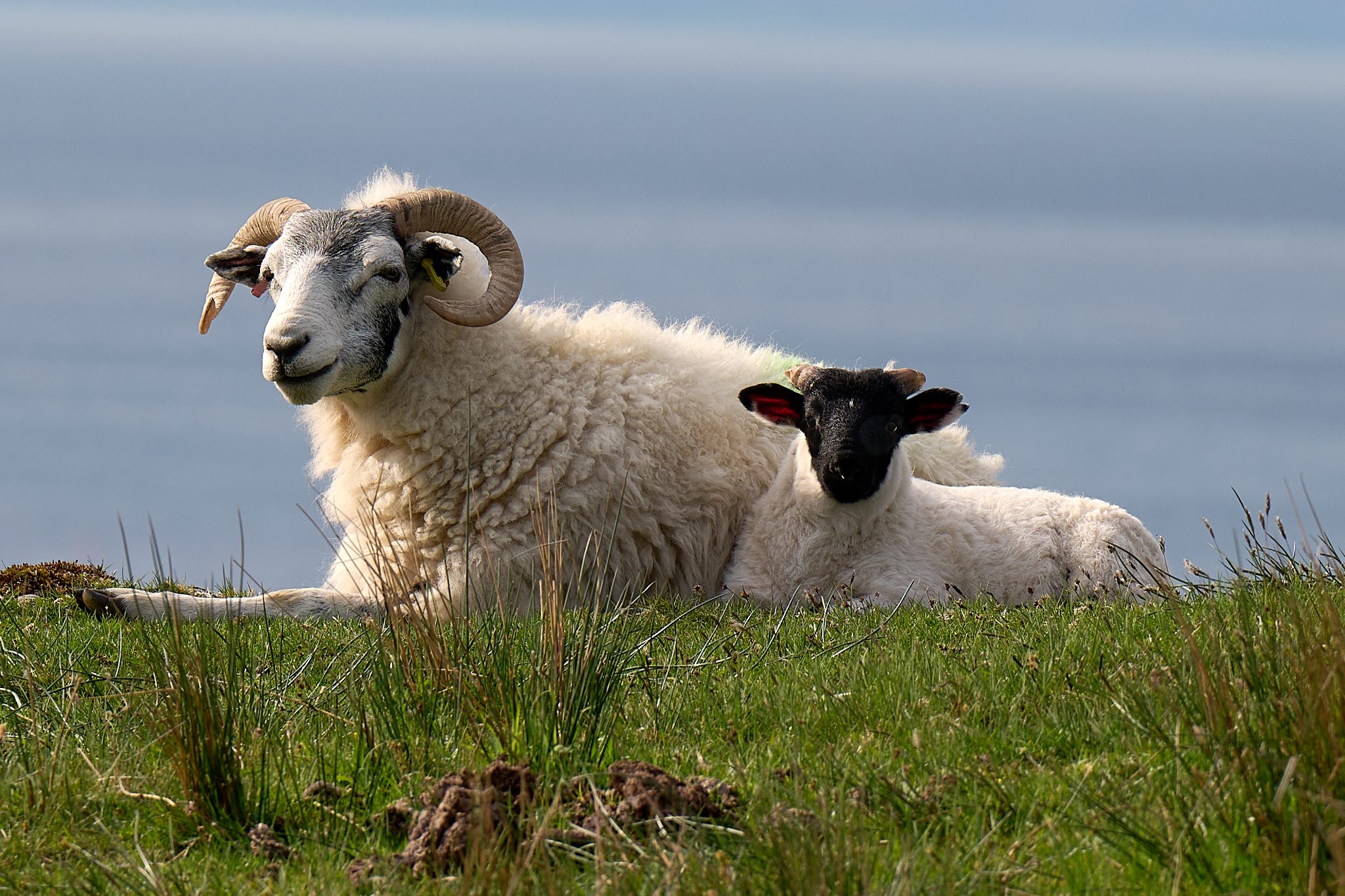
There are 60 official (pure) breeds of Sheep in England. There are 90 when mixed breeds are considered. It is believed the UK has more breeds than in any other country in the world. The list is [here]. For me, the most common breed in Idaho is the Targhee. It was developed in the early 1900’s in Dubois. The Black Hawaiian Sheep is the most common in Kauai (a cross between a Mouflon and Black-Haired Sheep).
Mom’s and lambs can help you on the hike.
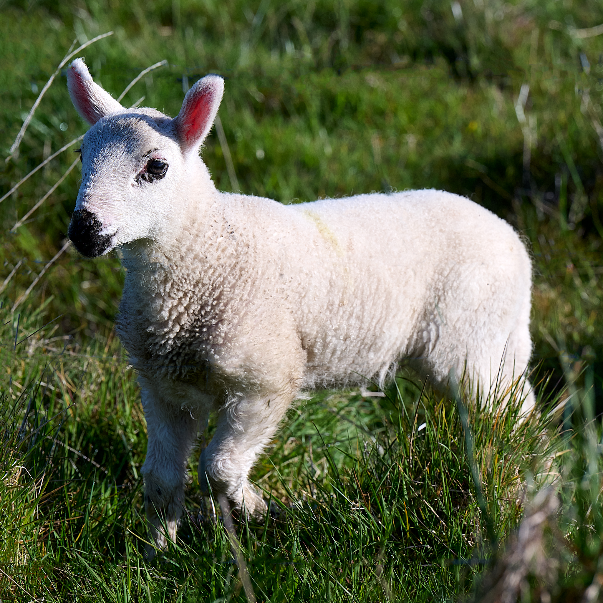
Lamb Margaret of Hope.
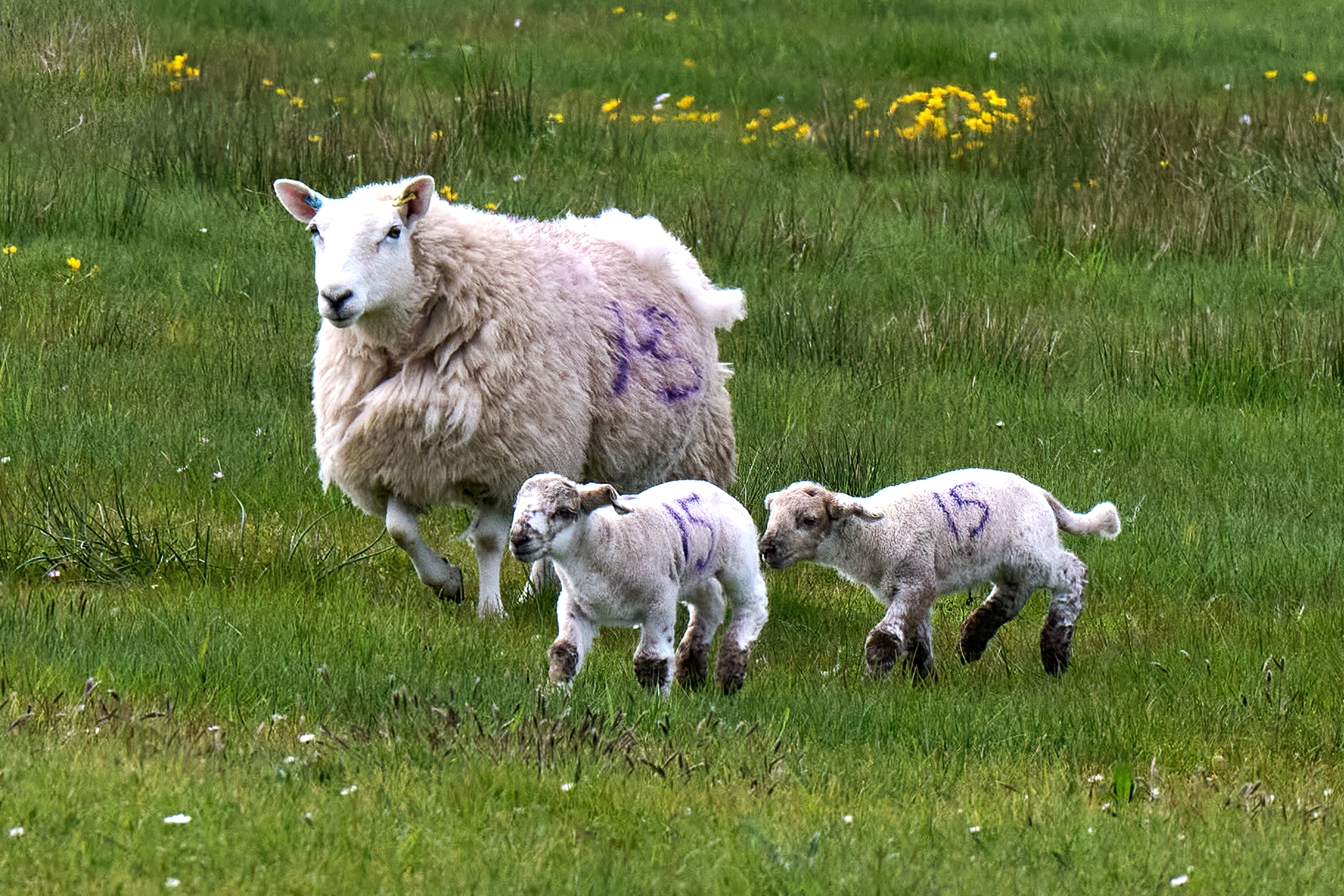
The Number 15 family.
Mom? Mom? Mom!!!
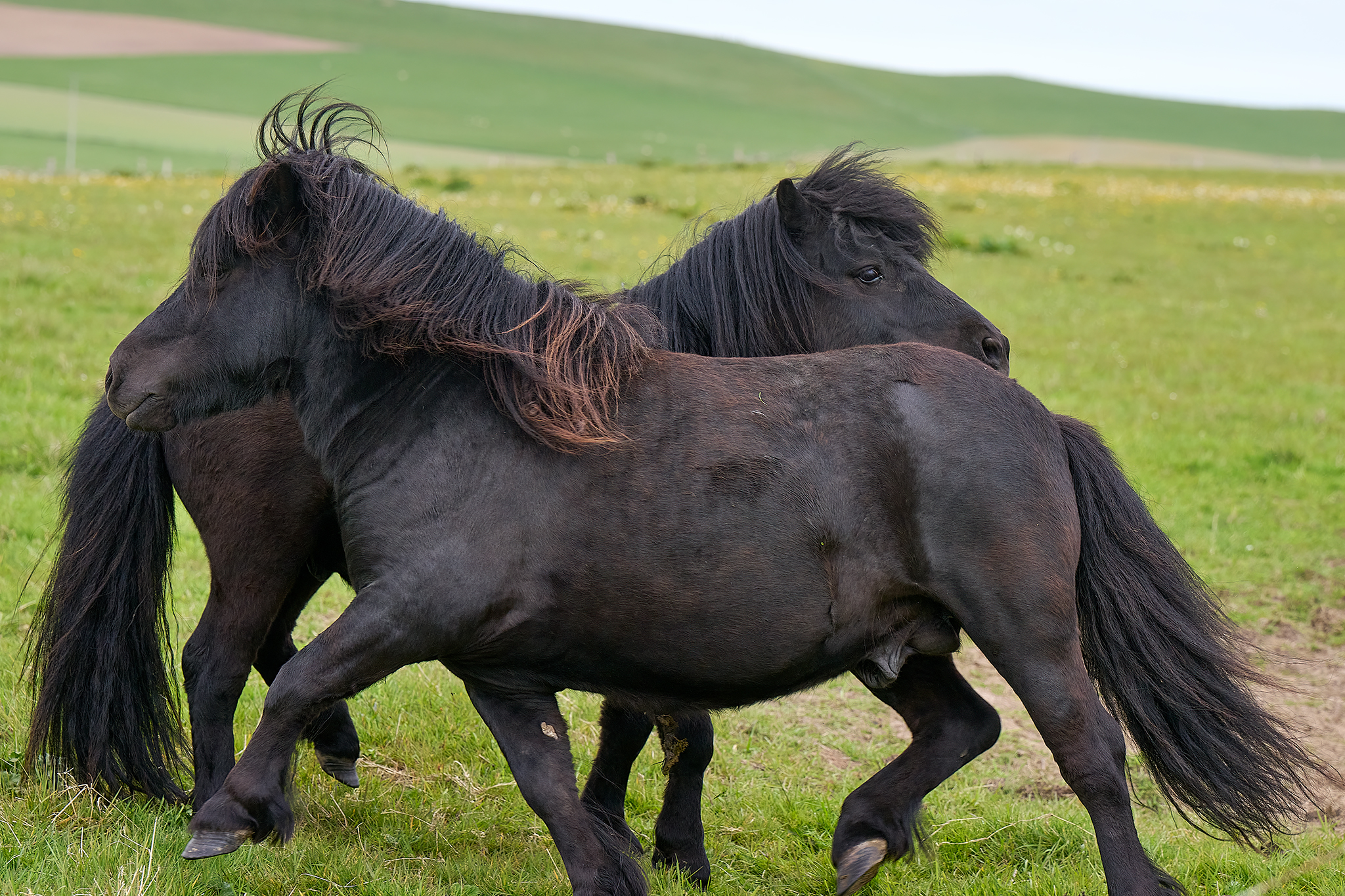
Shetland Ponies on Orkney.
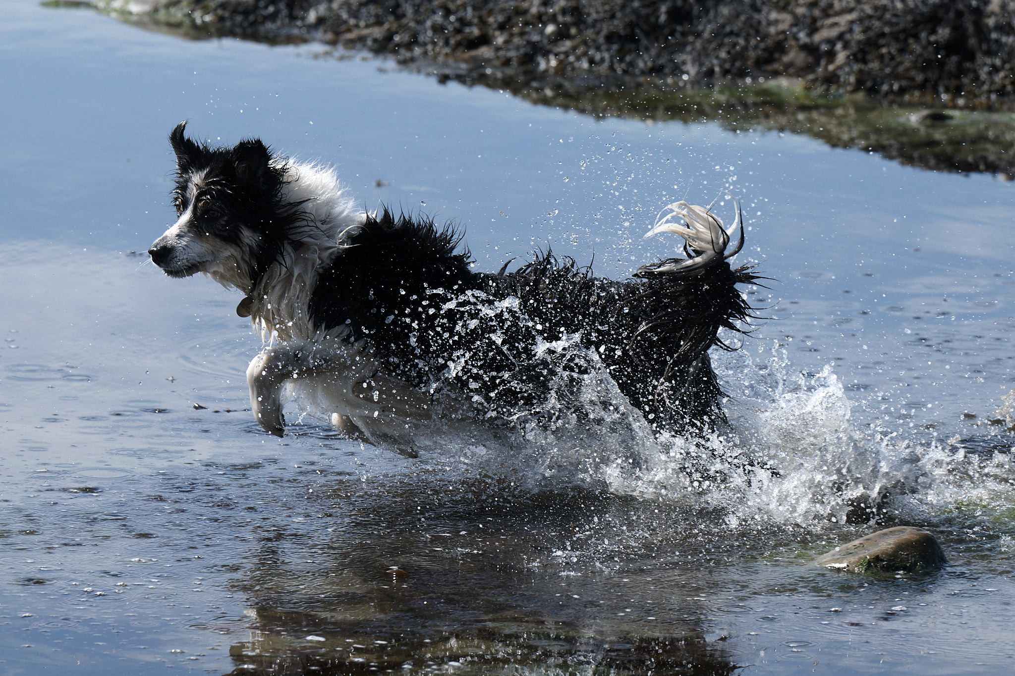
Wee Bonnie Thomson The Border Collie fetching a ball in Birsay Bay on Orkney. Border Collies are everywhere.
Sea Cliffs, Vistas, Sunrise, Sunset, Beaches & Waterfalls
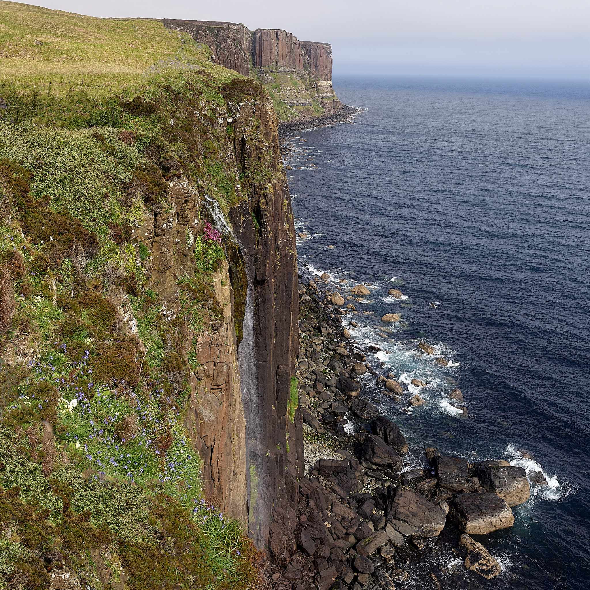
The Kilt is one of many spectacular waterfalls.
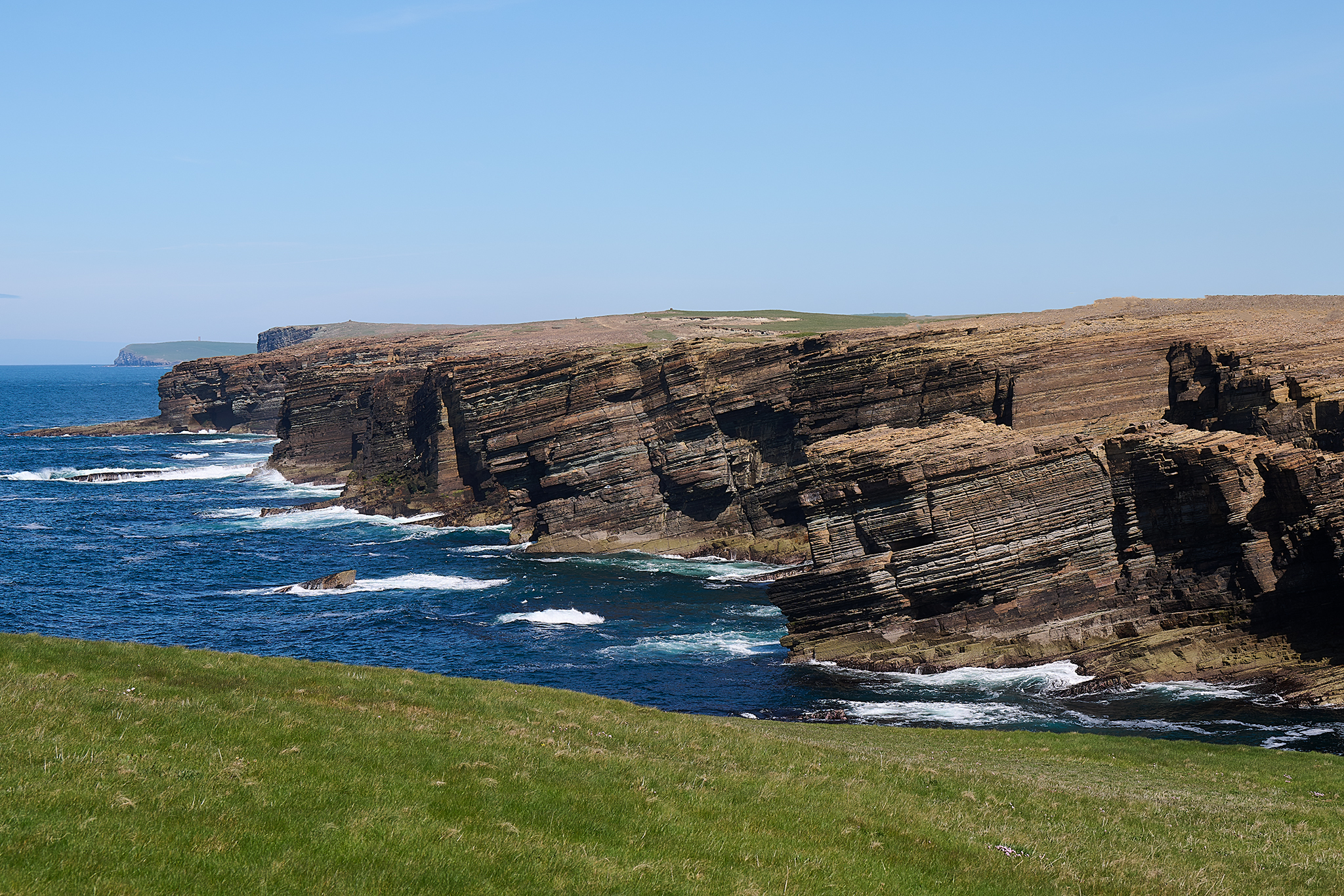
Yesnaby Orkney Island.
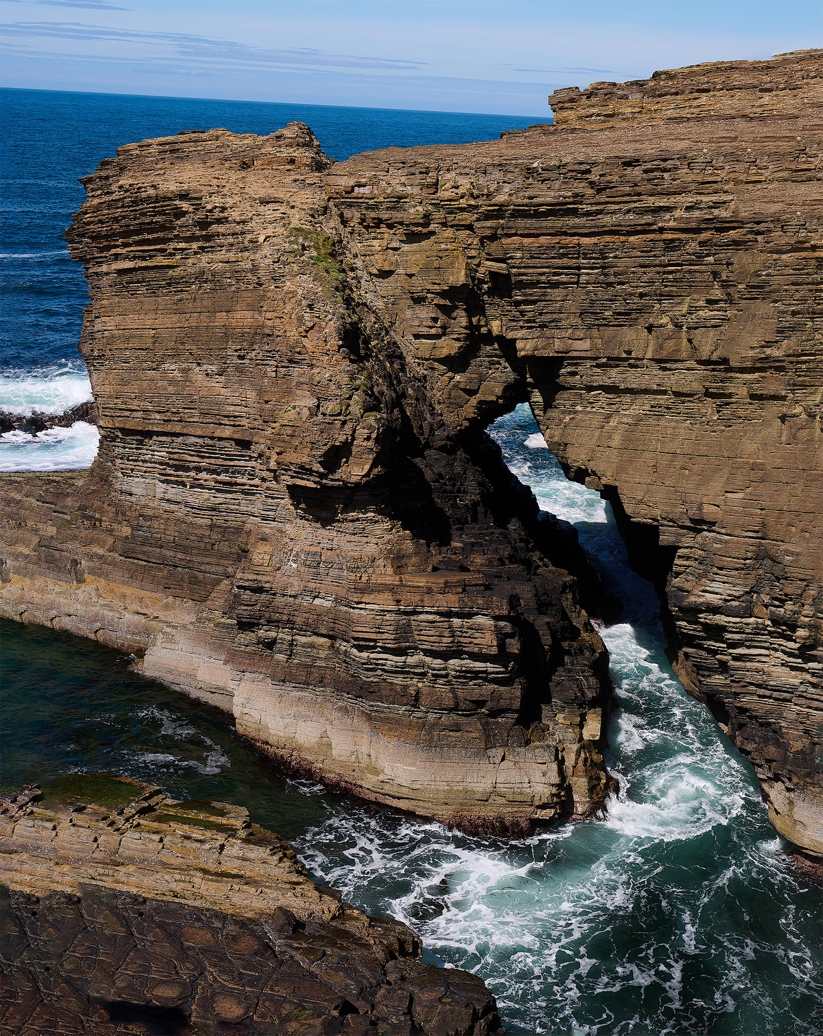
Yesnaby Coastline.
Isle of Skye From Applecross Summit.

The Beach at the southern tip of Sleat Peninsula.
The story of The Girl on a Beach is located [here].
Single Track Roads with Passing Places
The vast majority of the trip was spent getting to and from places that are accessed via Single Track Roads with Passing Places.
Driving these roads can be fairly simple and stress free. The Rules of the Road are easy to follow. 1. Drive on the single lane road and be aware of any oncoming traffic. Acknowledge their presence with a quick flash of your headlight. If oncoming traffic presents itself, drive to the next designated Passing Place and no further. If the Passing Place is on your side of the road, pull into it and let traffic pass, finishing with Shaka wave. If not, drive on the road to the point of the Passing Place, and let the oncoming traffic pull into the Passing Place, and continue on, finishing with a Shaka wave.
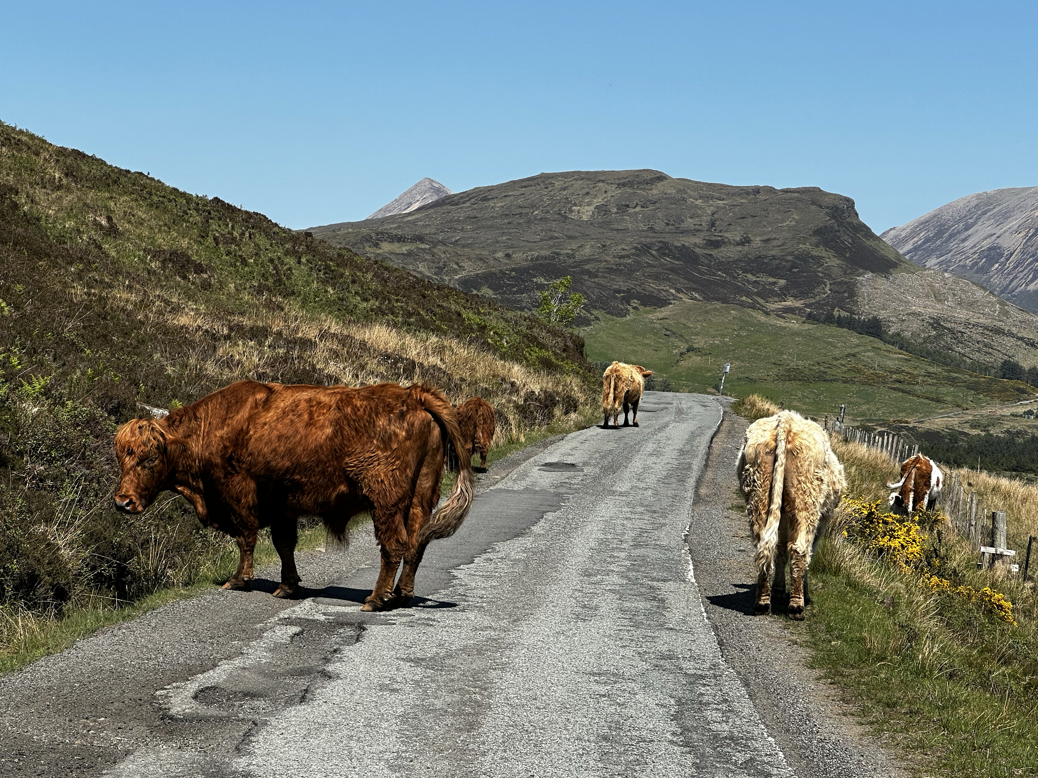
Highway Patrol with Passing Place pull-out and sign ahead on right.
There is No Place Like Home
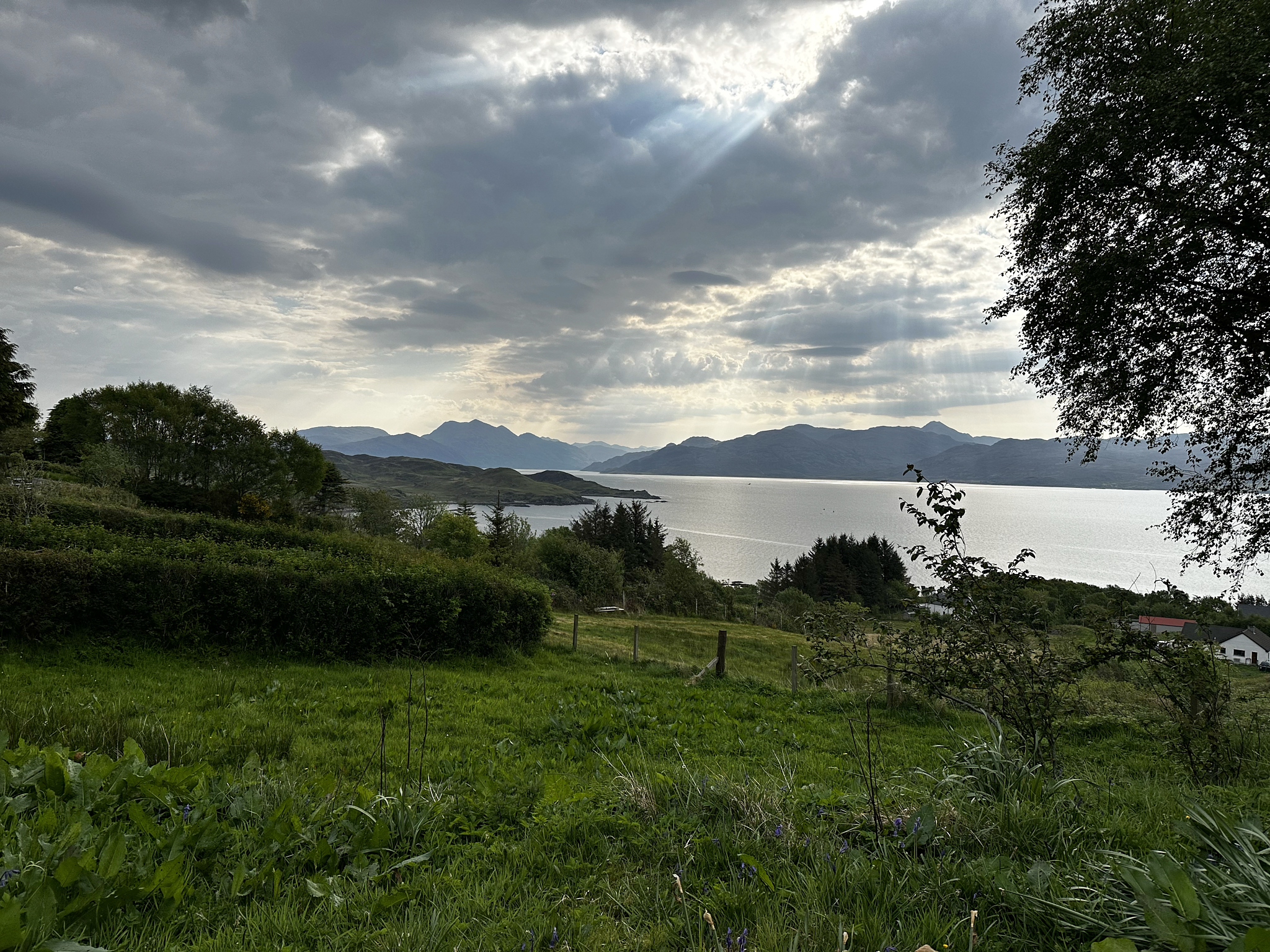
For this trip, as with almost all, we conducted home exchanges. We have been members of HomeExchange since its beginning about 30 years ago. To conduct an exchange, you have to be a certified paying member, who is a real-person, and demonstrate your place is yours and it is real as well. No monies are to be exchanged. You can also exchange vehicles and the like if desired.
For this trip we exchanged with Val & Steve in Edinburgh (Dalgety Bay) and Bryan on the Sleat Peninsula on Isle of Skye (Teangue). Both homes are fantastic in superb locations. We find trips are much more enjoyable and relaxing when staying in someone’s home versus a place setup for a short-term rental or a Hotel Room.
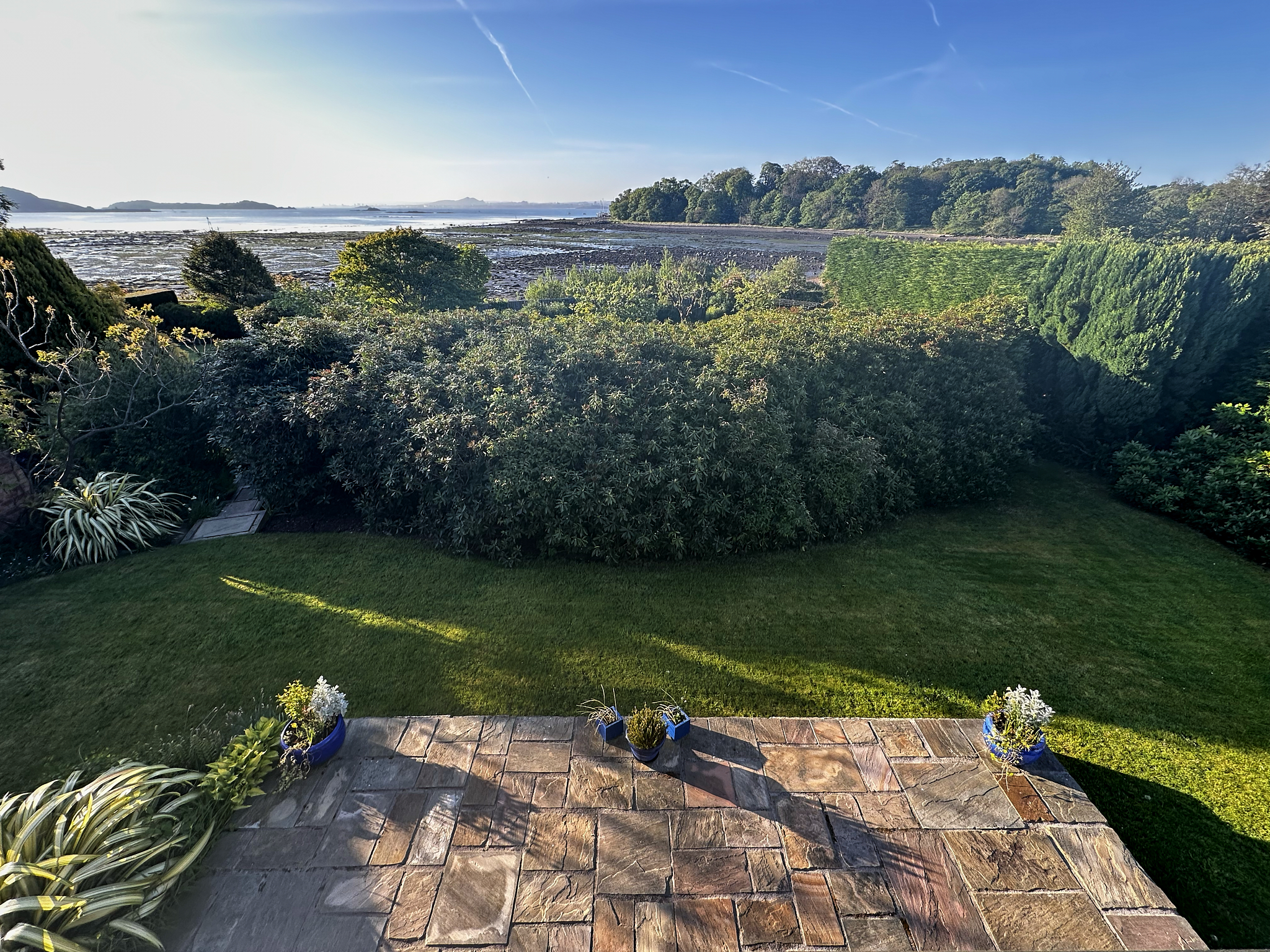
Magnificent setting in Dalgety Bay.
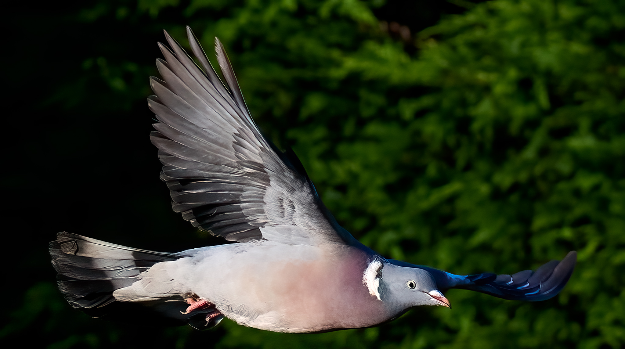
All kinds of Birds on the Bay at Val & Steve’s.
Sunrise at Teangue.
Moody Morning on Sleat.
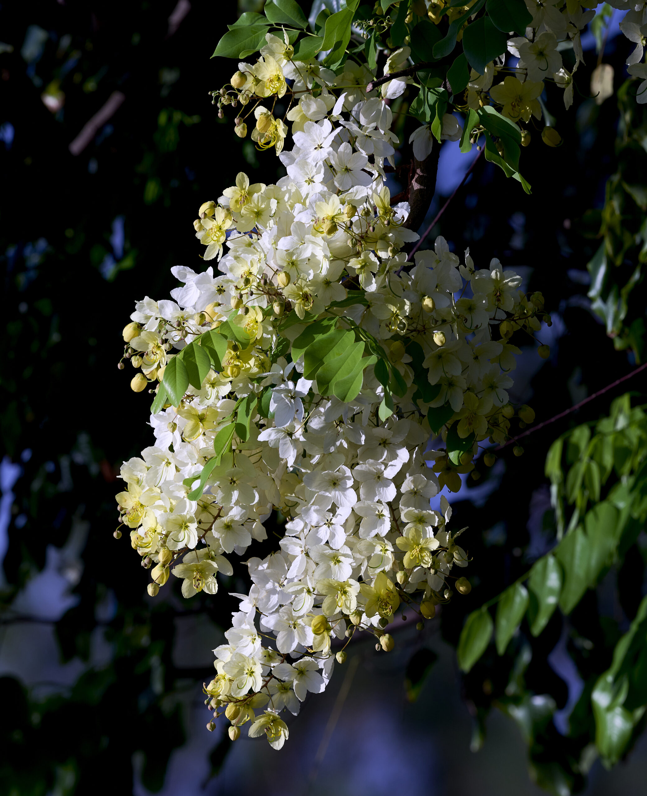
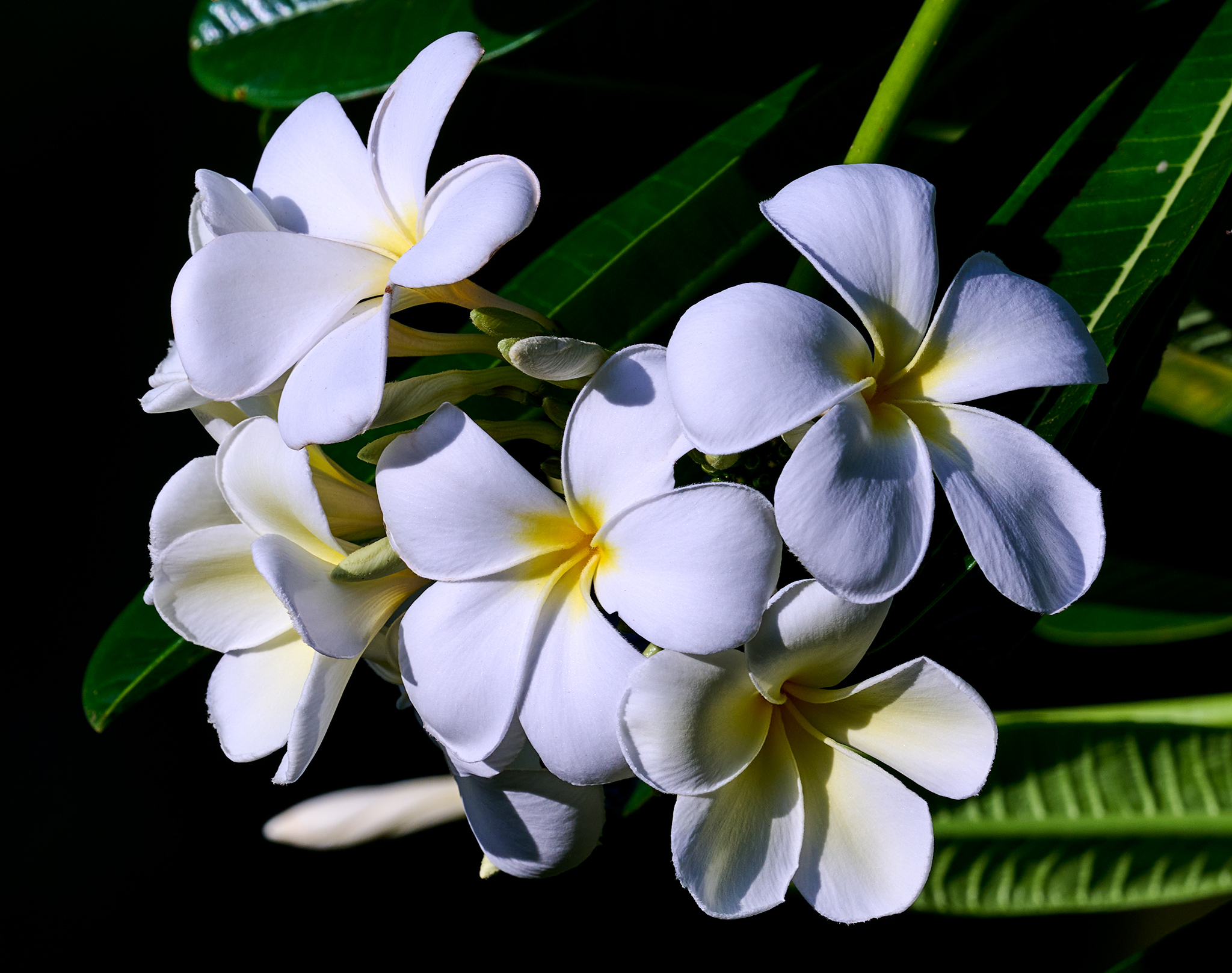
Flowers and Trees
My passion for photographing flowers is endless.

Buttercup at Inveraray Castle.
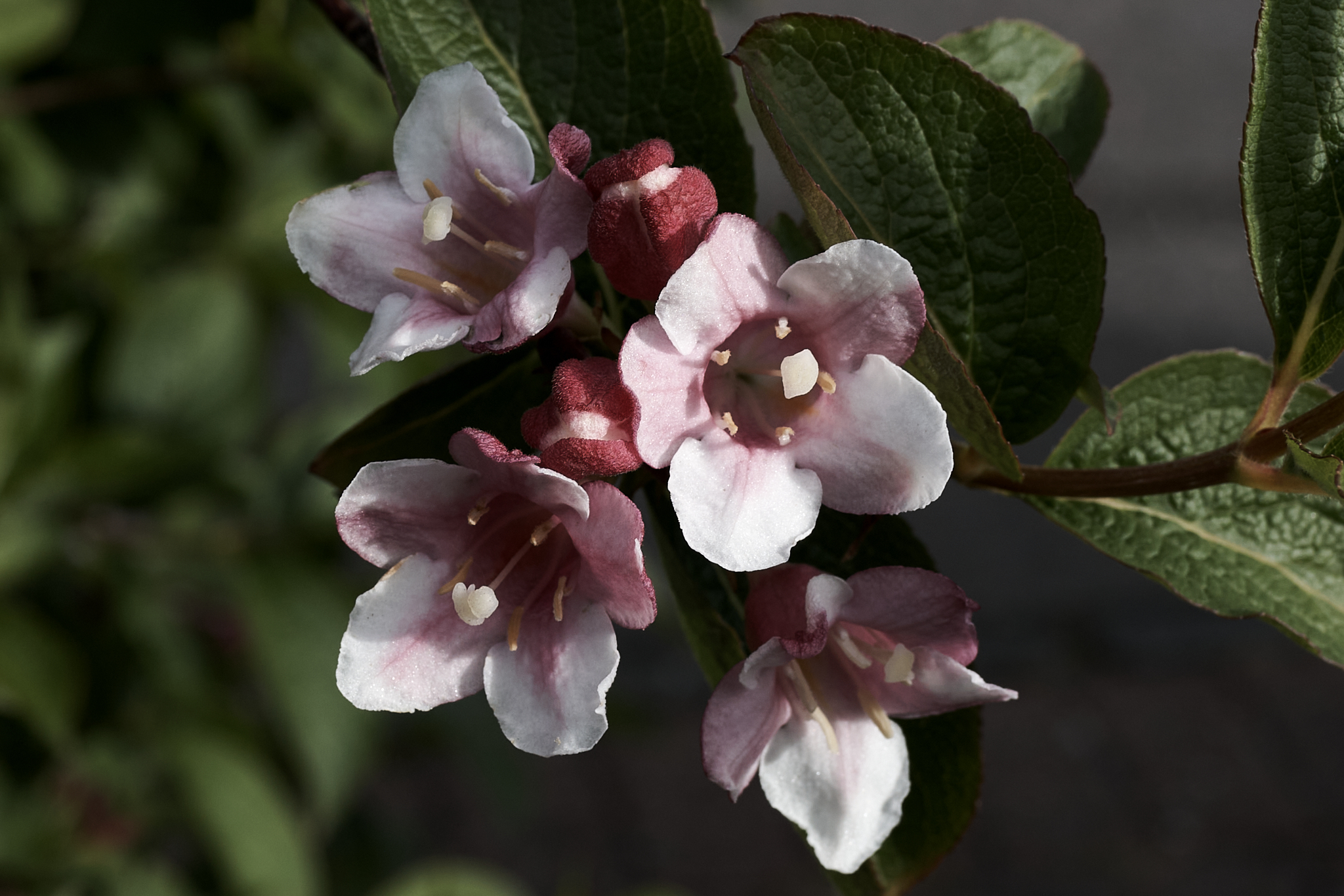
Red Claw Honeysuckle at Val and Steve’s house.
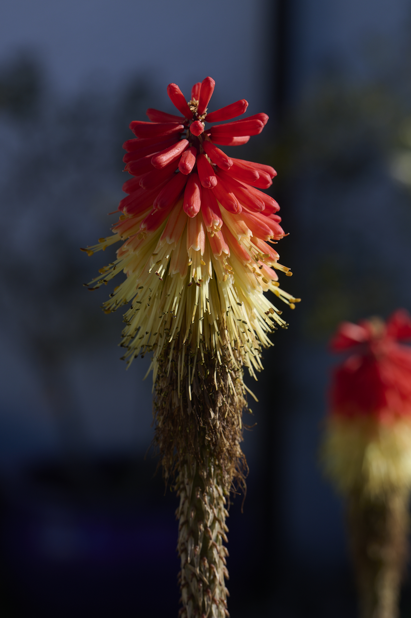
Red Hot Poker near Bryan’s house.
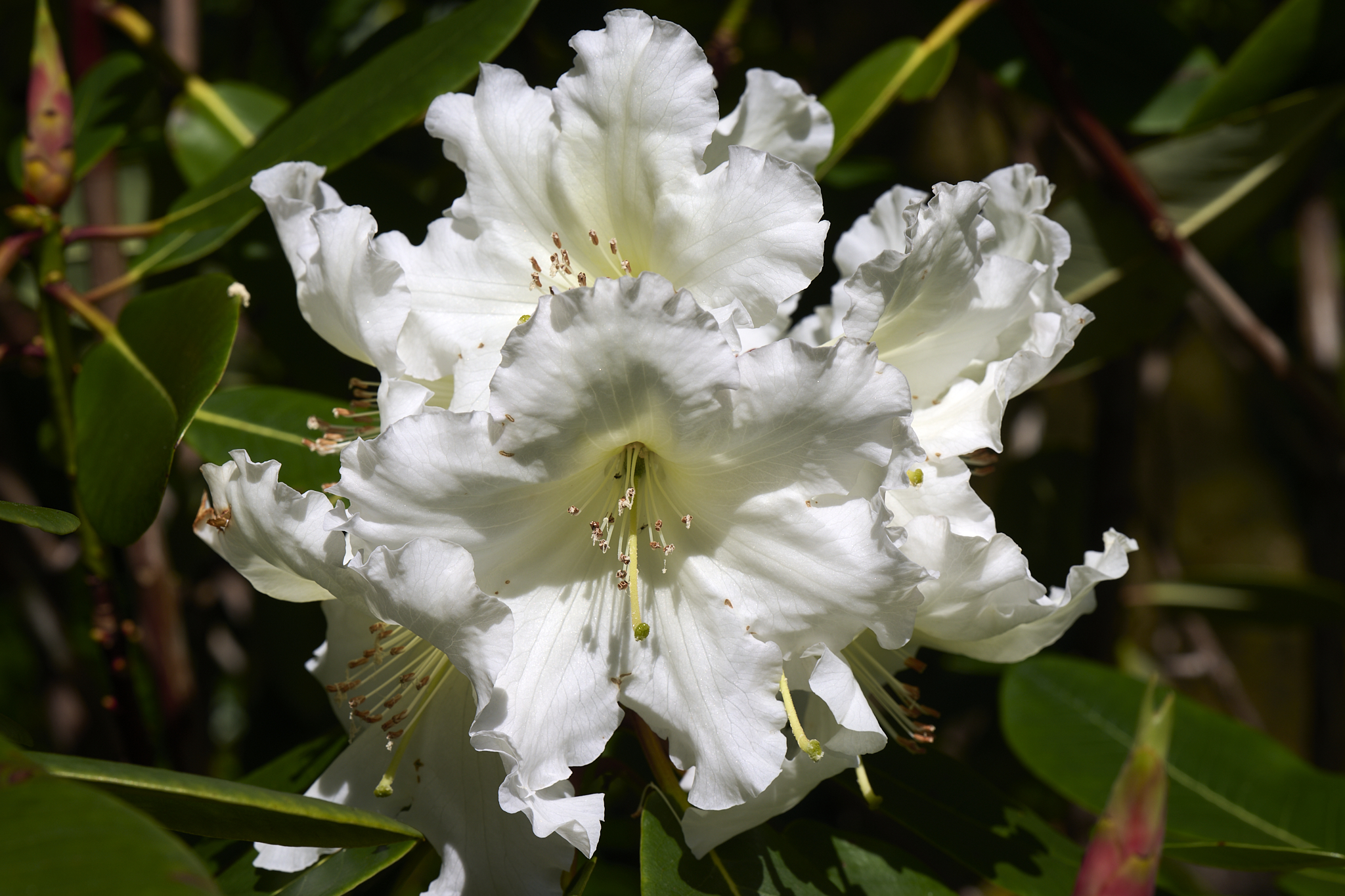
Rhododendron at Dunvegan Castle Gardens.
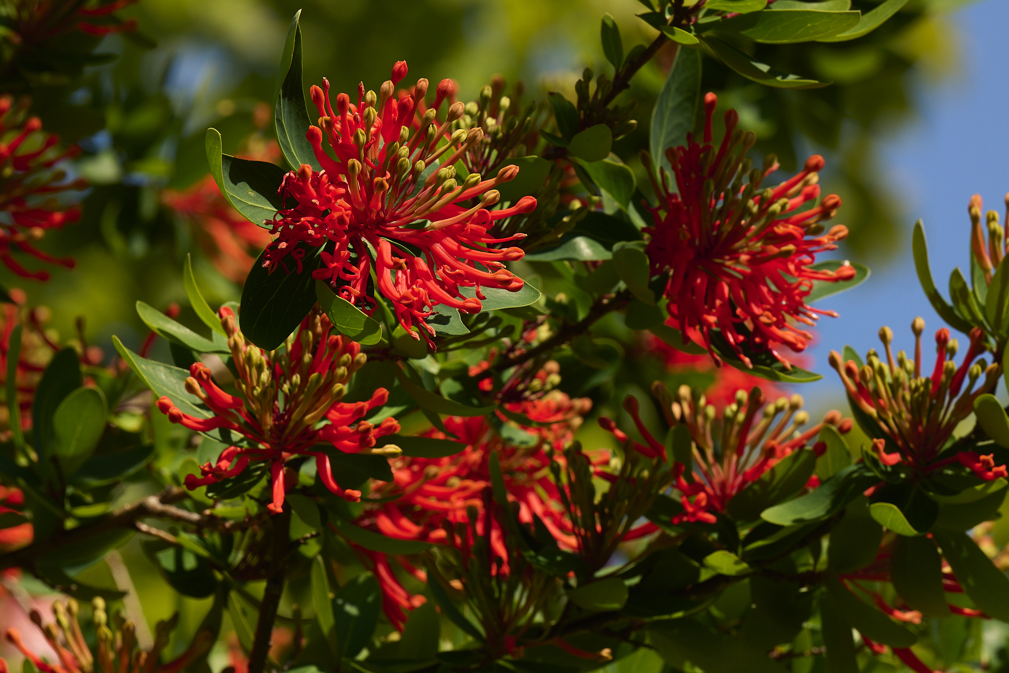
Chilean Fire Bush Dunvegan Castle Gardens.
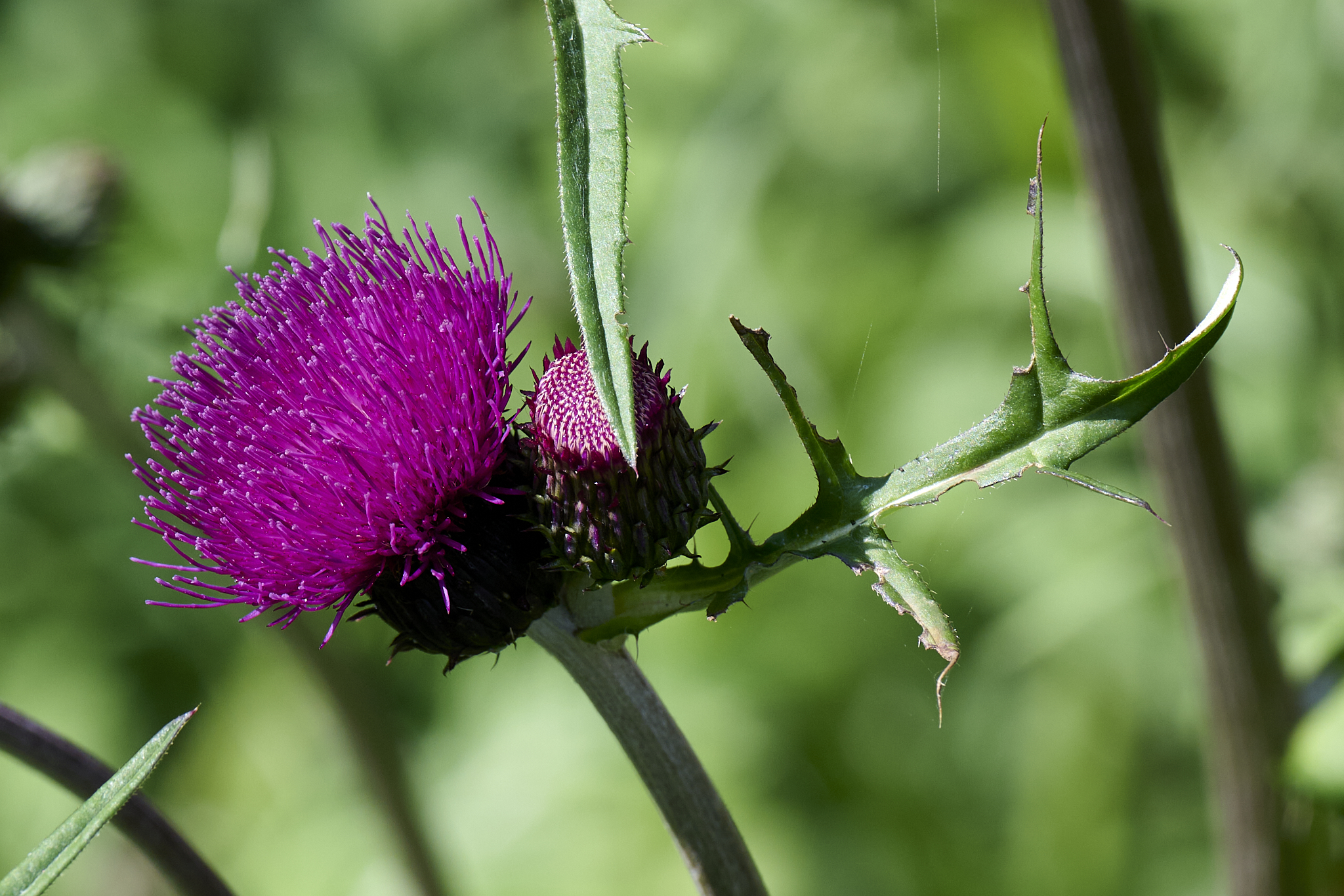
Melancholy Thistle Dunvegan Castle Gardens.
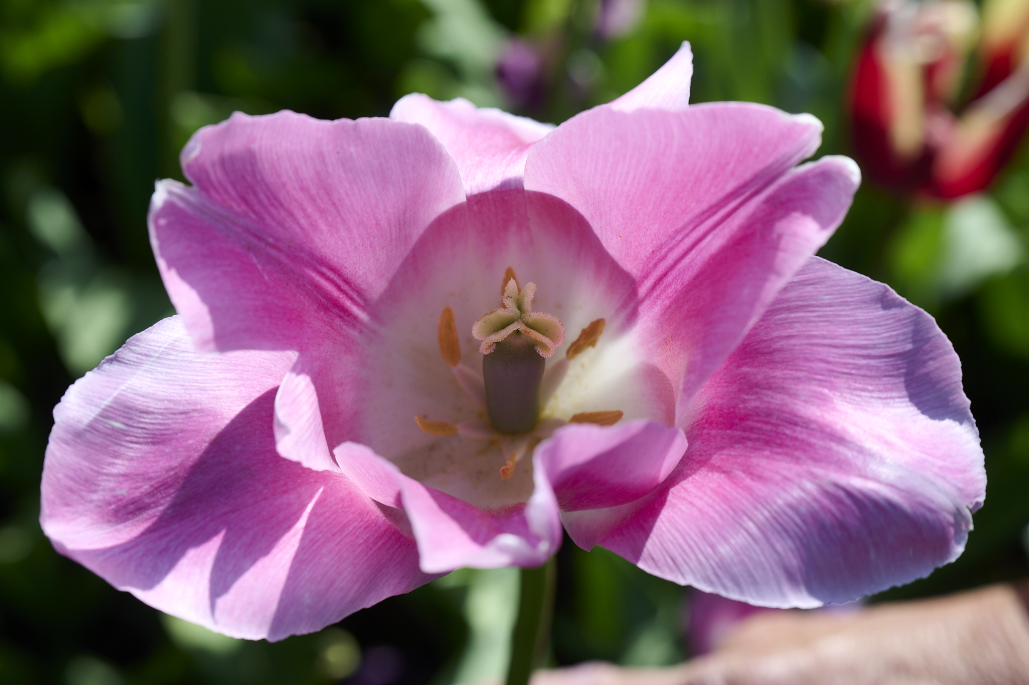
Garden Tulip Dunvegan Castle Gardens.
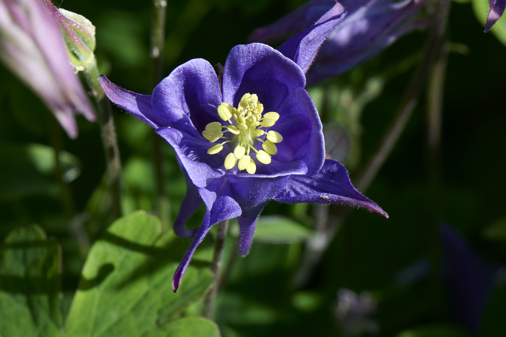
Columbine Dunvegan Castle Gardens.
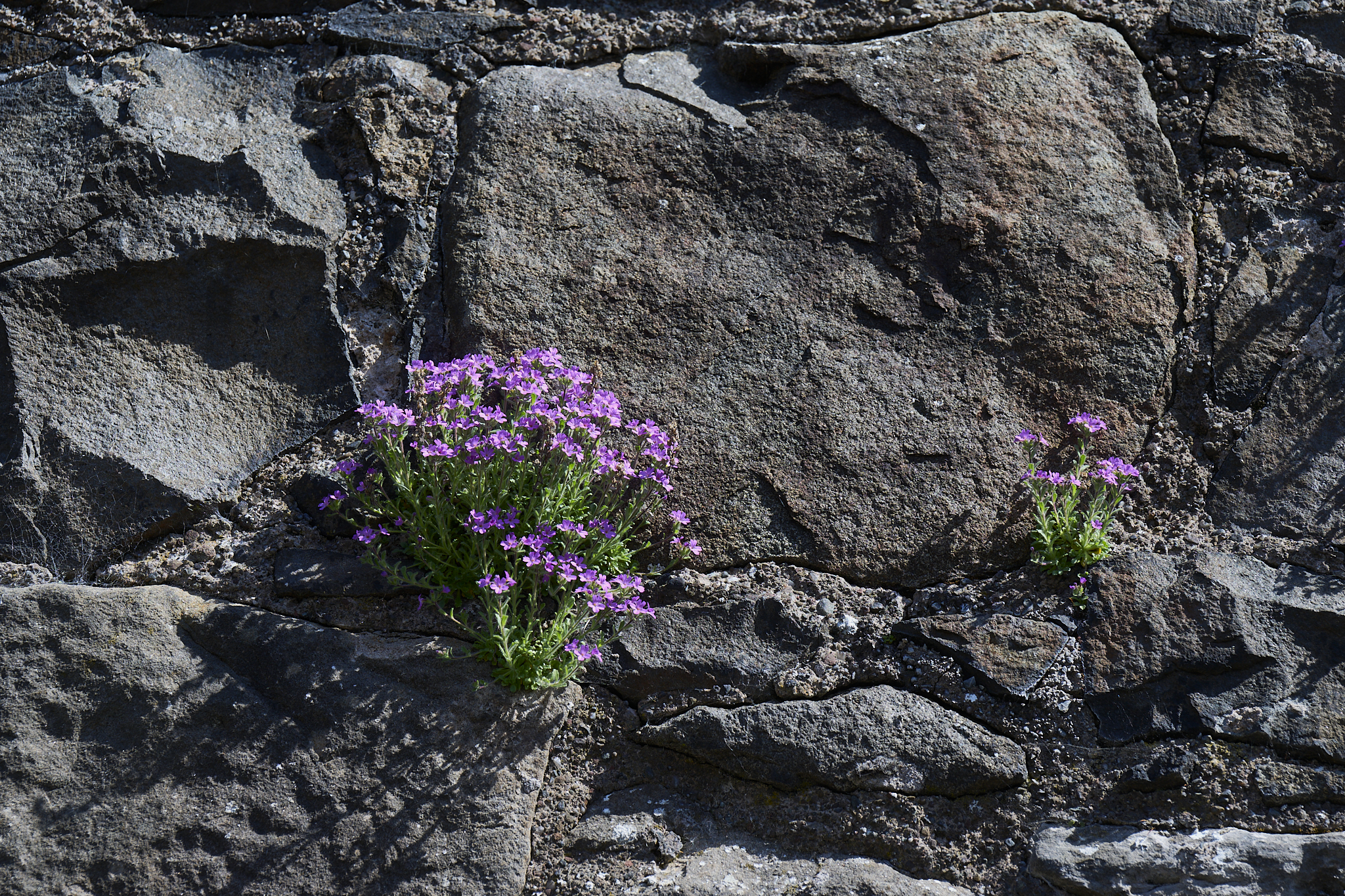
Wildflowers in the Castle Wall Stirling.
The Churchill Barriers, Scapa Flow, and HMS Royal Oak
In World War I and World War II Scapa Flow of the Orkney Islands was the United Kingdom’s chief naval base. Home to the British Navy’s Grand Fleet and Home Fleet. The HMS Royal Oak was sunk in October 1939 while anchored at Scapa Flow by German Submarine U-47. 835 of the ship’s 1,234 men were killed. The Churchill Barriers were created as a result. Today the Churchill Barriers are four nicely paved causeways that make up part of road A961.
For information on the Churchill Barriers look [here].
For information on the Scapa Flow look [here].
For information on HMS Royal Oak look [here].
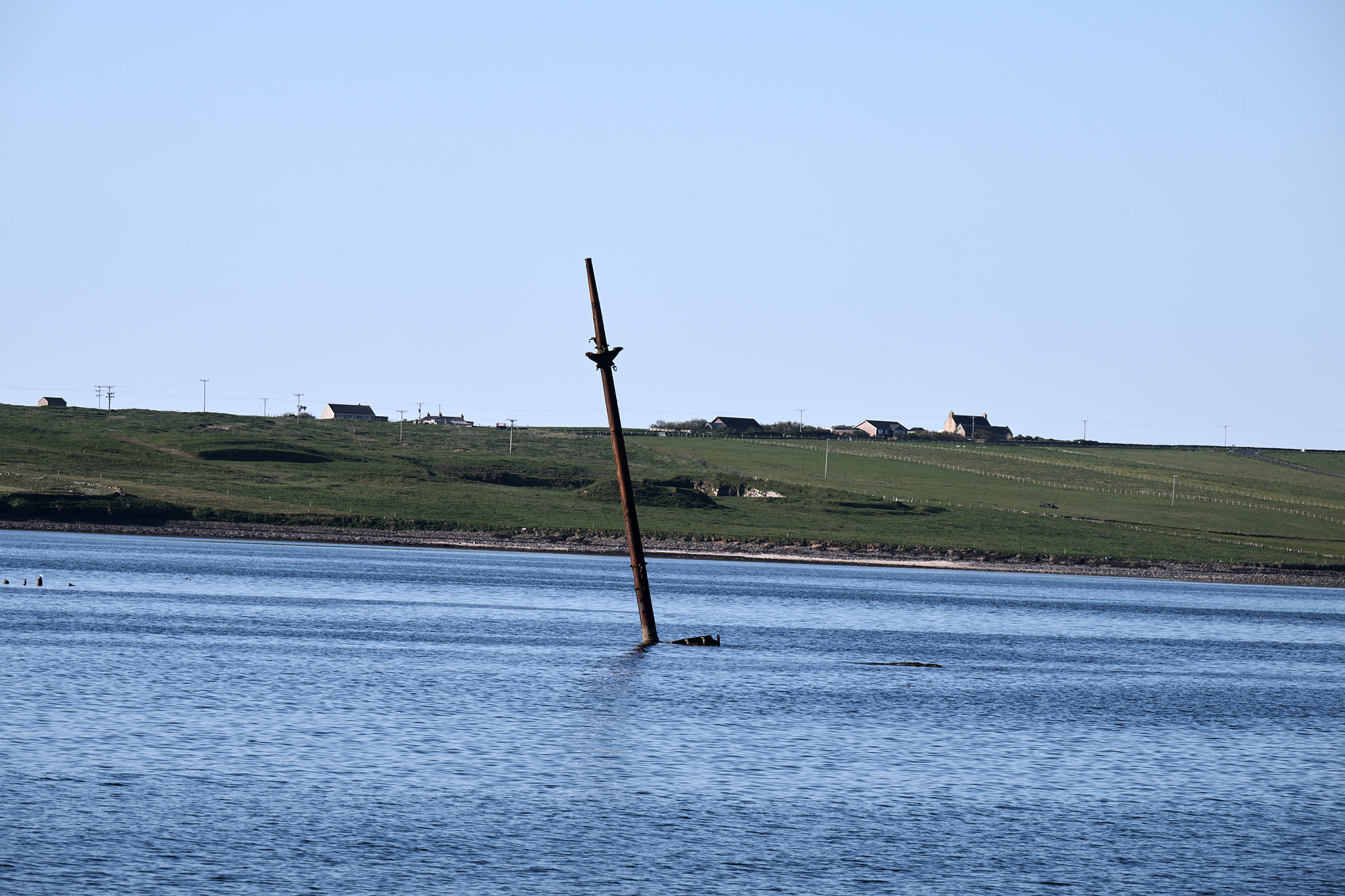
Sunken Ship Churchill Barriers.
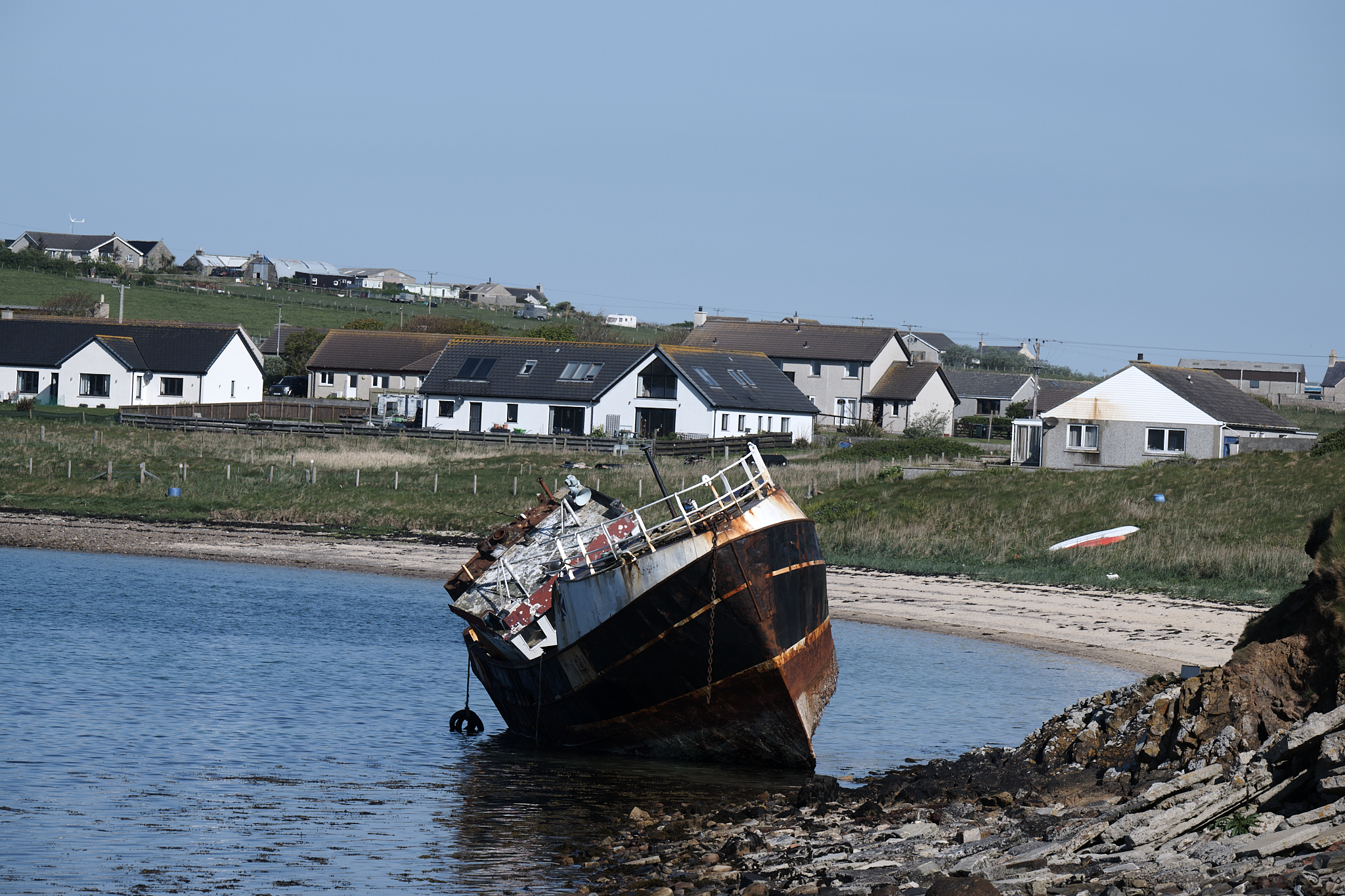
Scuttled Ship Scapa Flow.
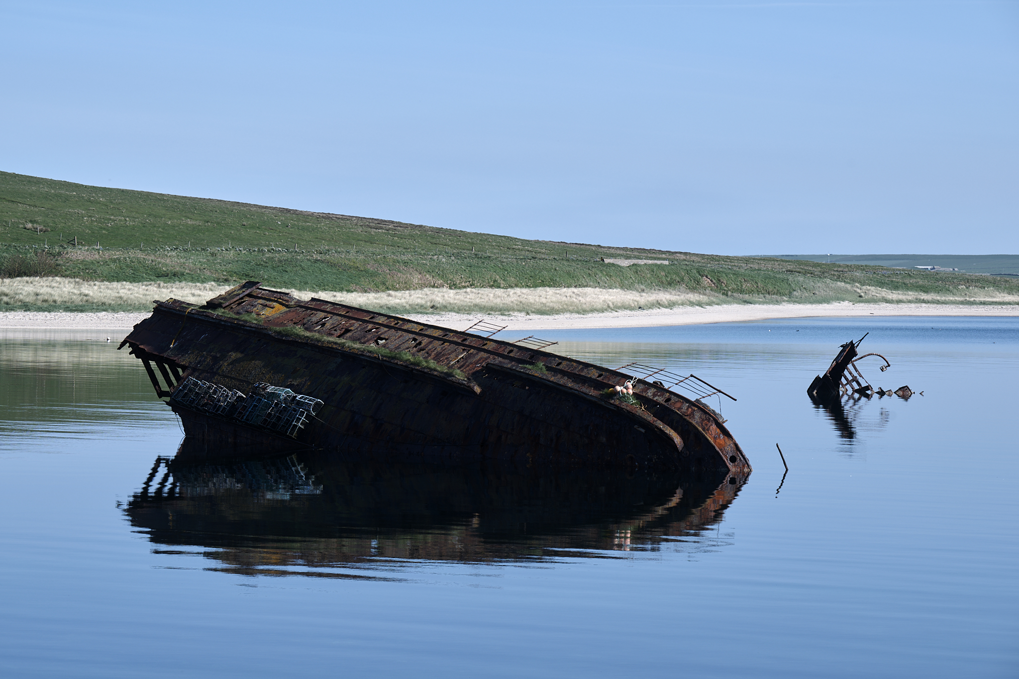
Sunken Ship Churchill Barriers.
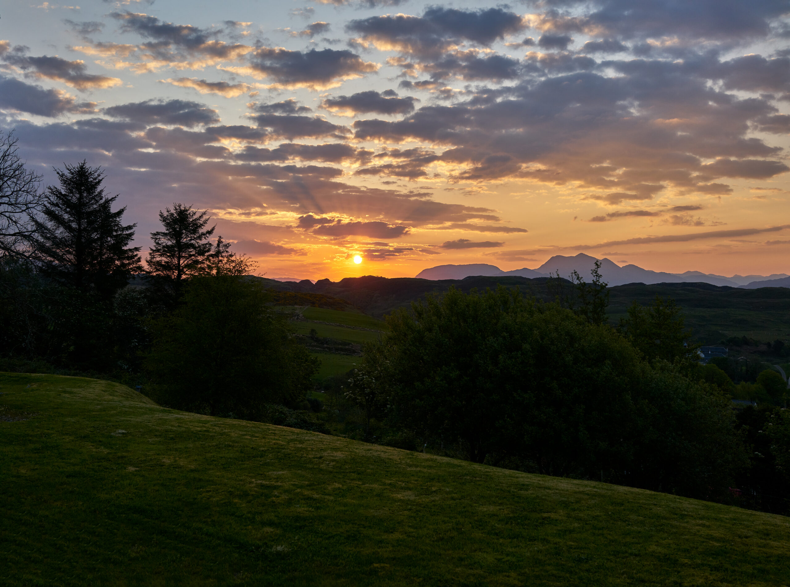
Start Early, Finish Late & Take the Scenic Route
By choice, most of the days started before sunrise and finished with a home cooked meal just as sunset approached.
Therefore, Western Scotland, Loch Lomond, The Trossachs, Glenn Garry and Eastern Scotland through Perth were also experienced. Travel through these areas included an unexpected amount of change in scenery and setting in the space of a few miles.
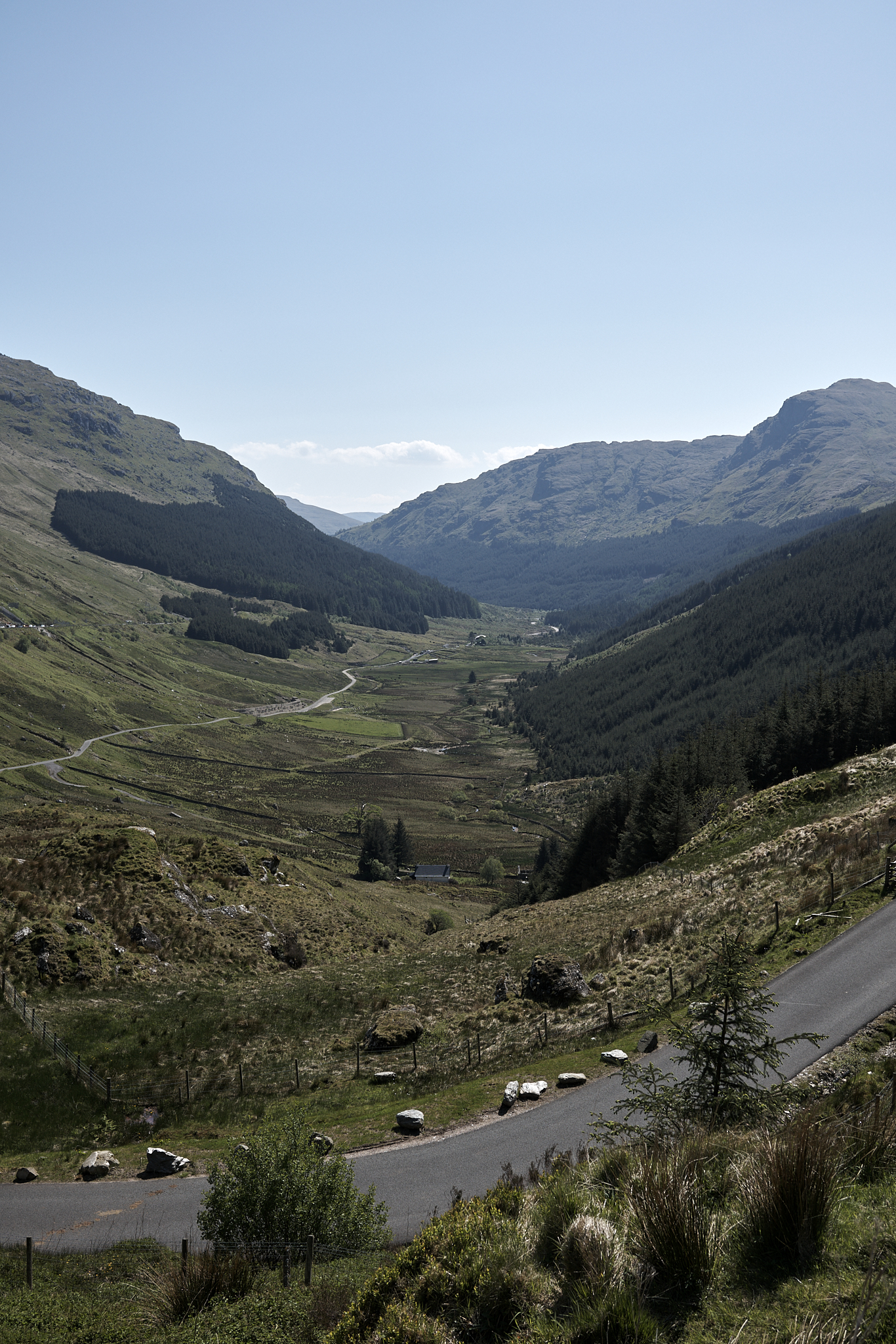
Up from Loch Lomond to Rest & Be Thankful Pass.
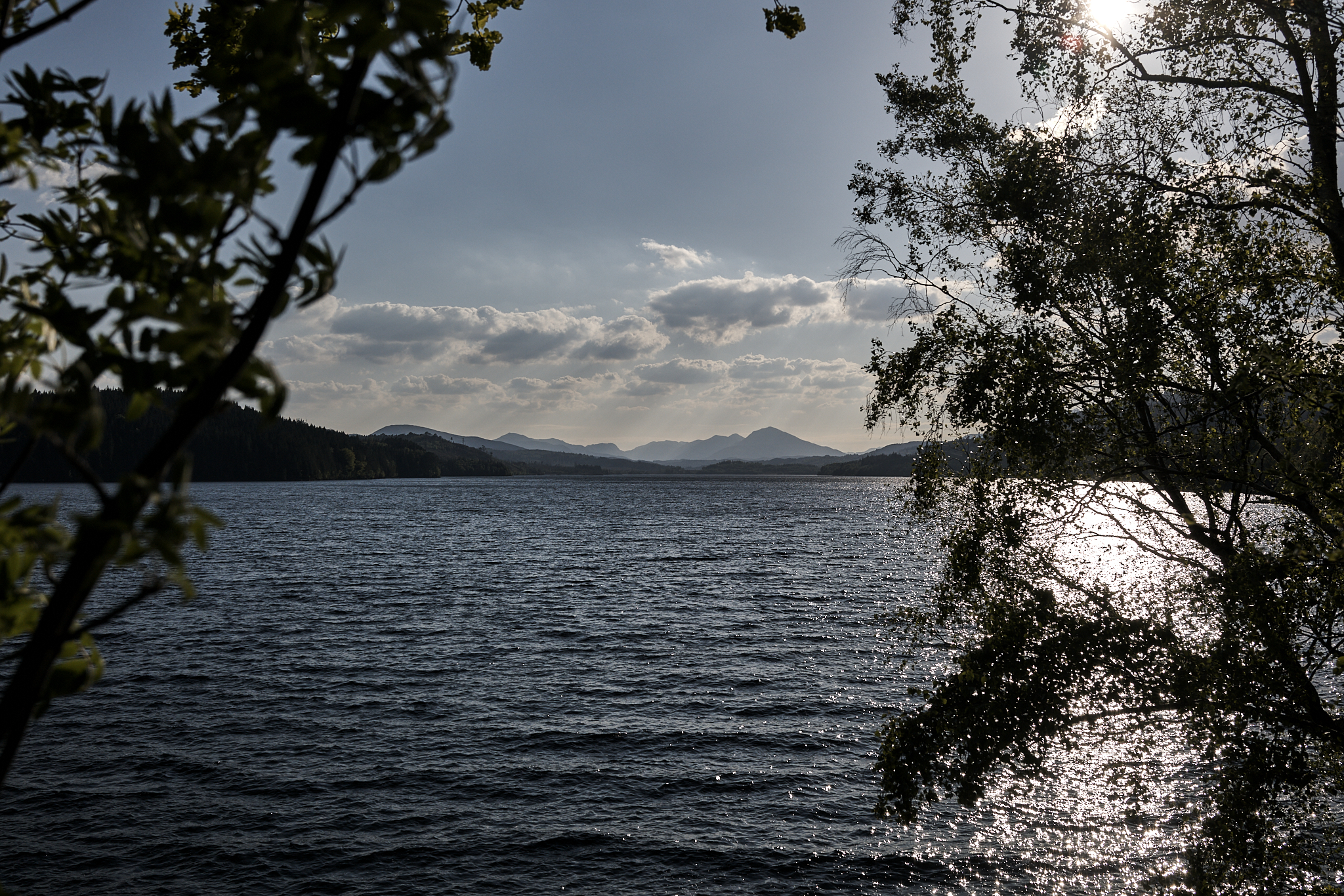
Loc Cluanie heading west into the mountains and Shiel River Valley.
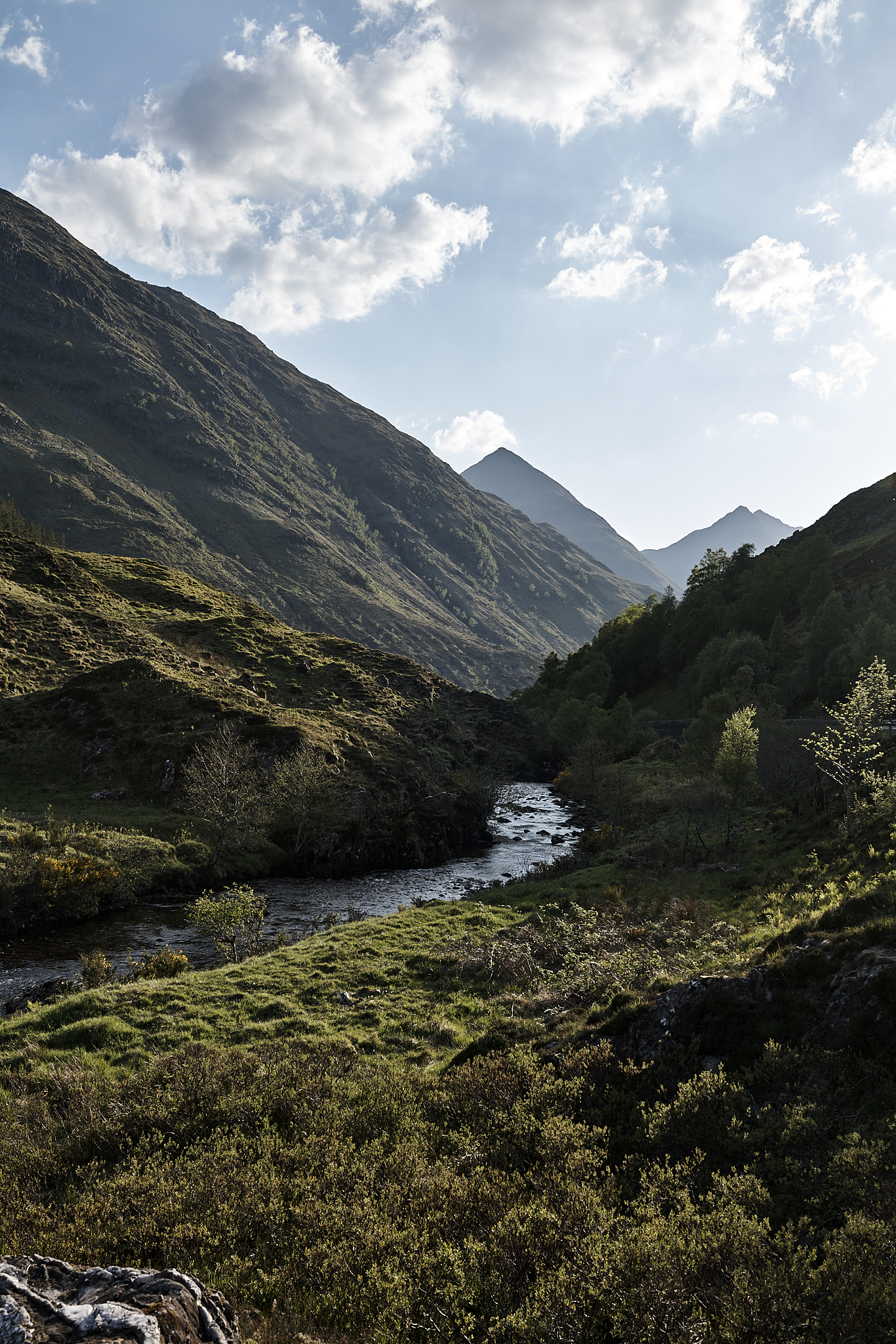
The start of the Shiel River Valley. Stunning!
Everyday places in a Remarkable Country
The transit system in Scotland (Scottish Railway, Subway, Tram, and Bus) is outstanding. We used Scottish Railway for the trips into Edinburgh and to Glasgow. We used the Tram for the Airport. The longest any of them were off from schedule, was a couple of minutes time. Staff for these organizations were friendly and helpful.
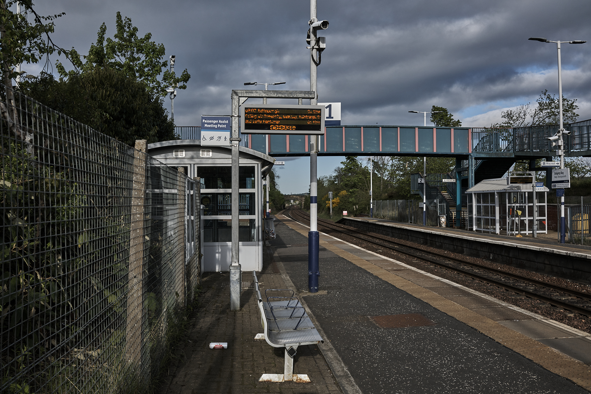
SR in Dalgety Bay Station.
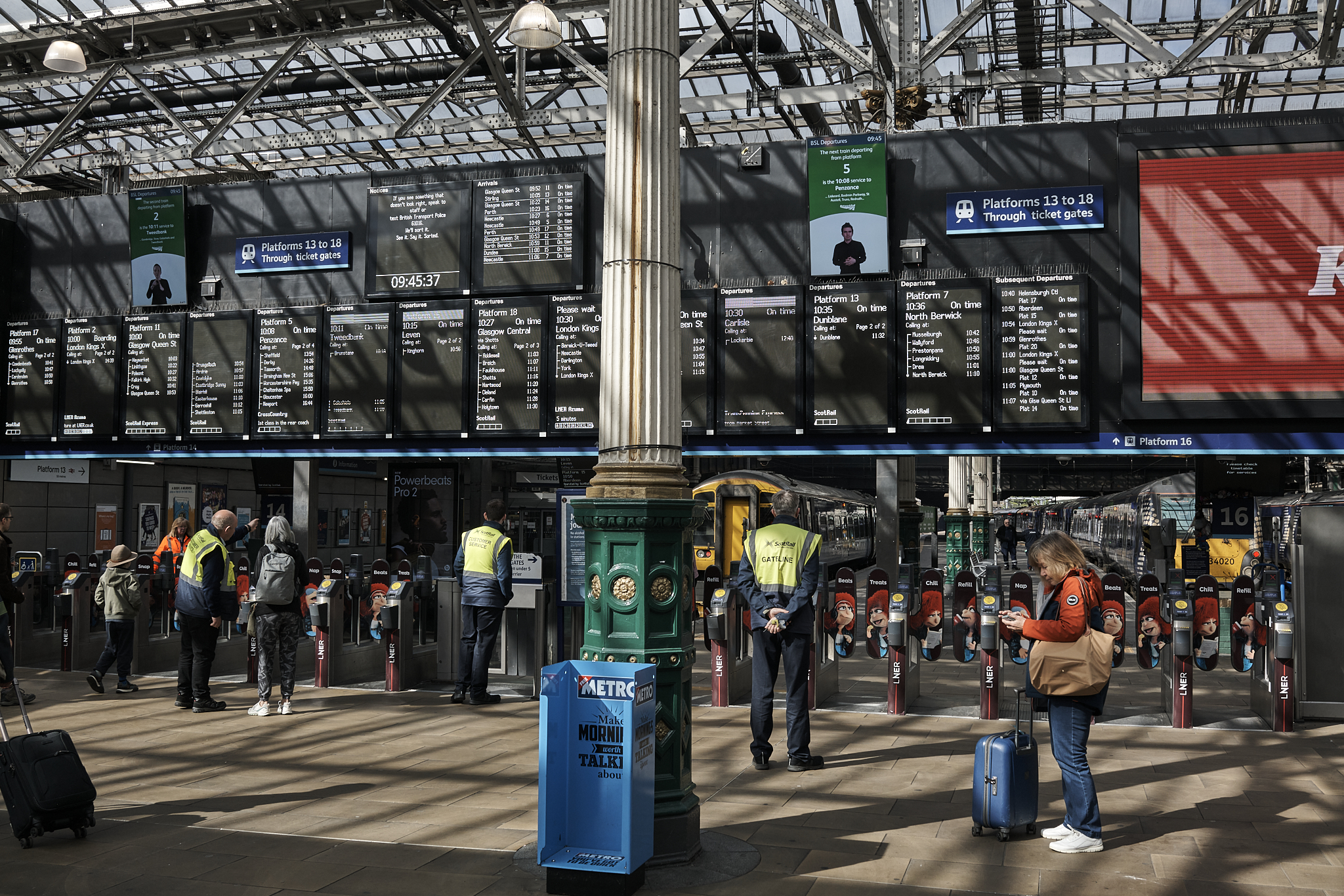
SR Waverly Station in Edinburgh.
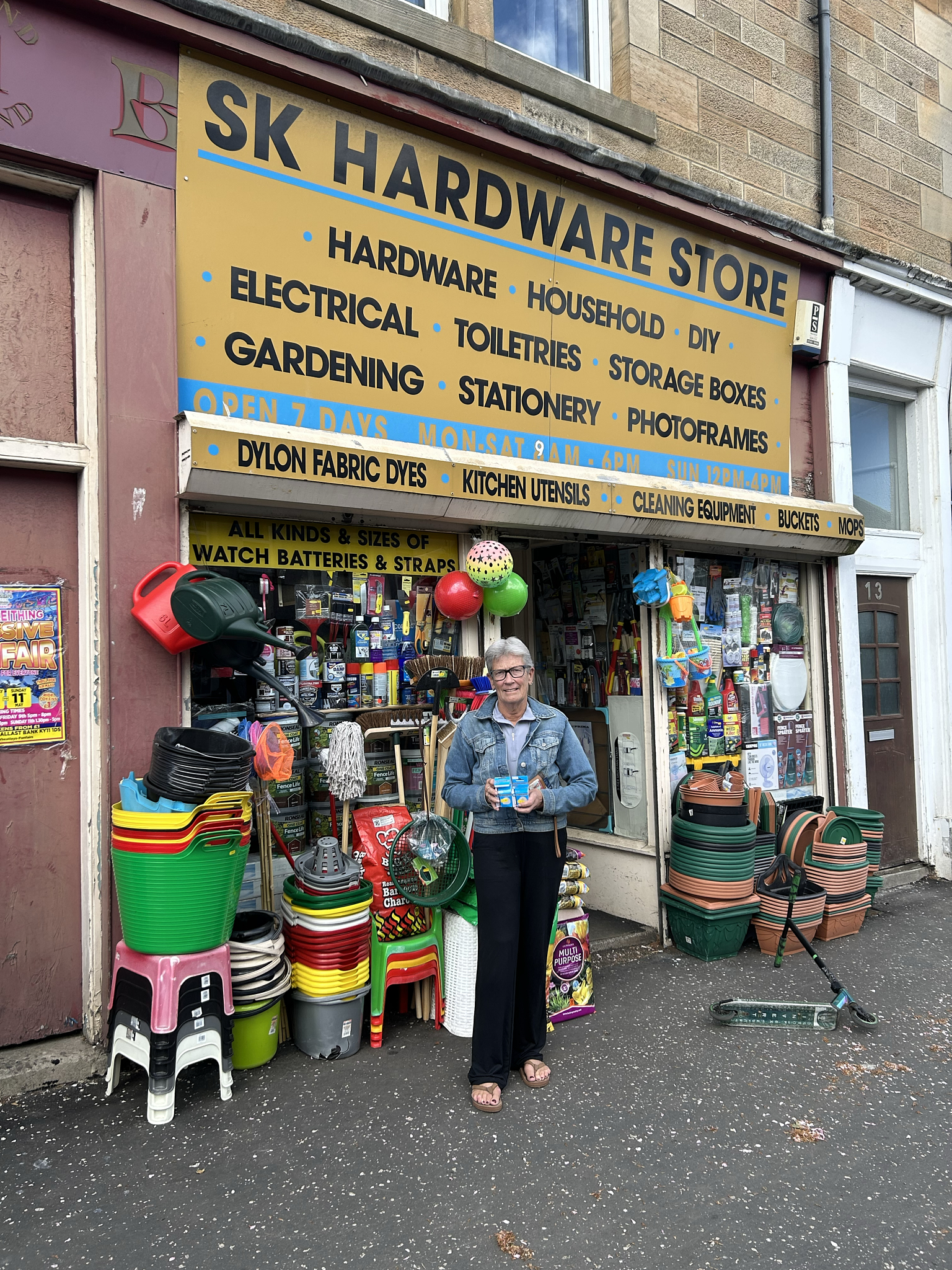
The SK Hardware Store in Everkeithing. It is set in another era, and has any and every item known to be needed by mankind.
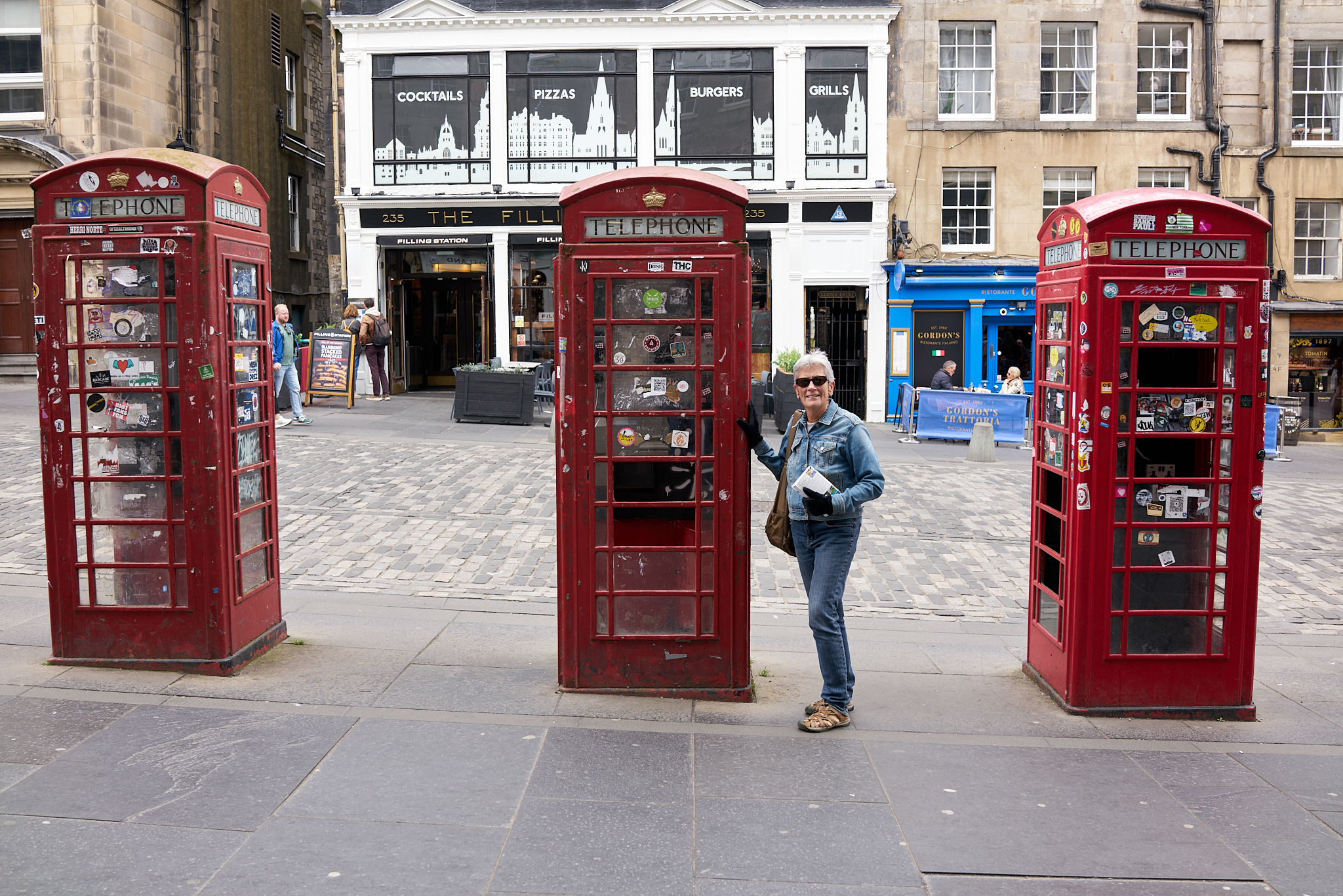
Red Phone Booth’s in the City on the Royal Mile.
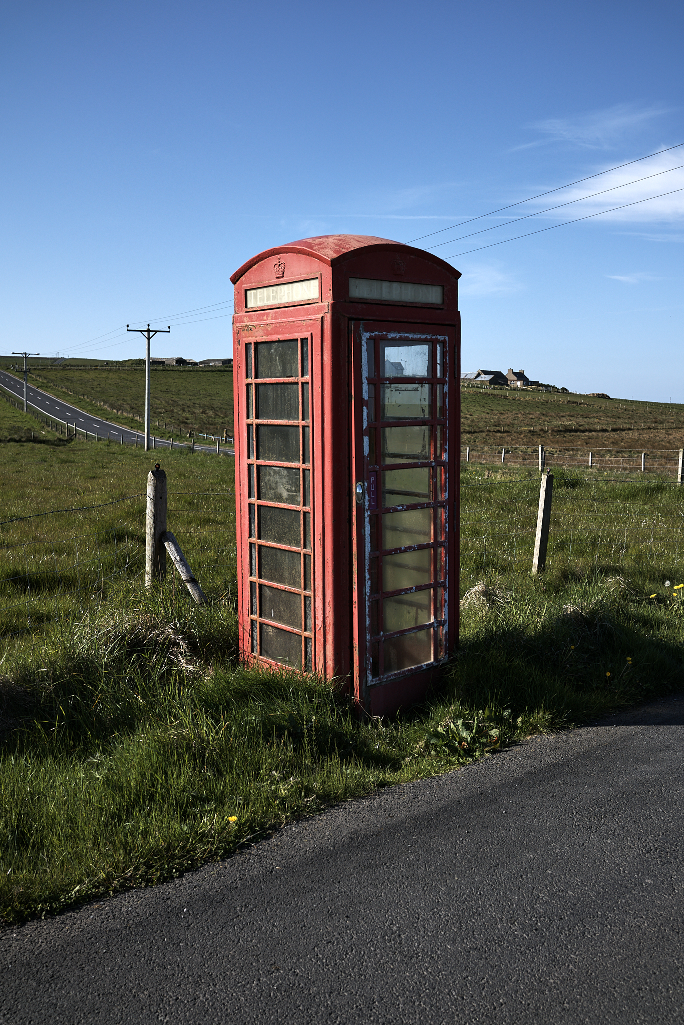
A Red Phone Booth in Orkney.
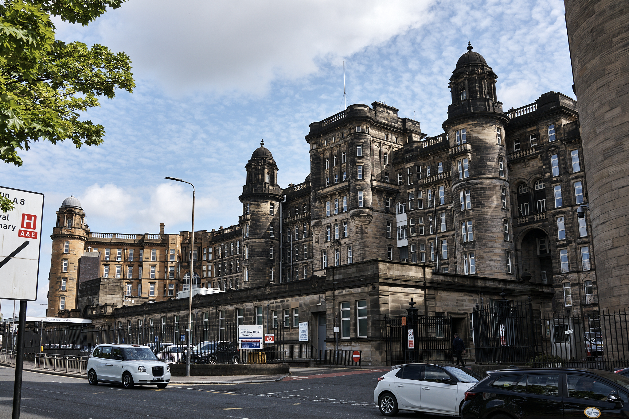
A hospital in Glasgow.
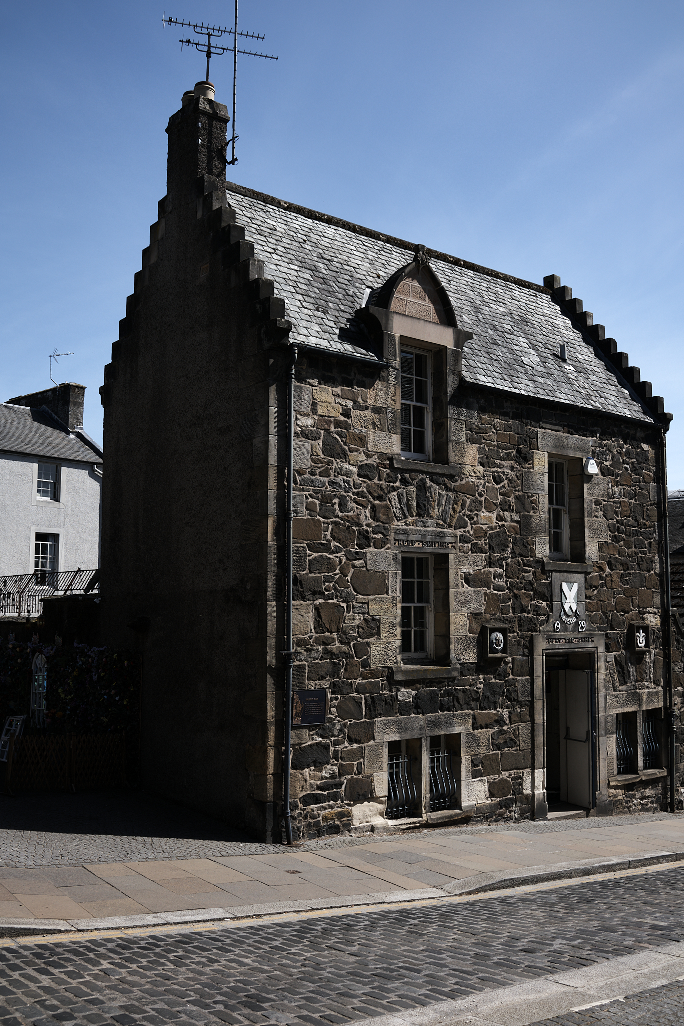
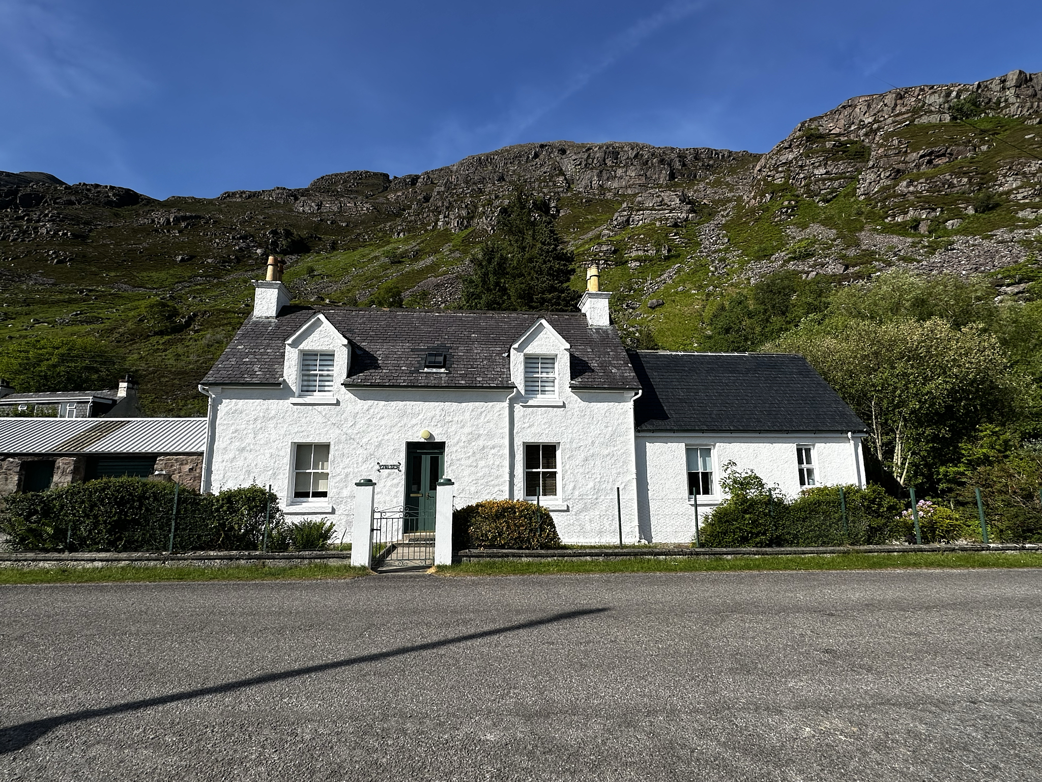
A home in Stirling.
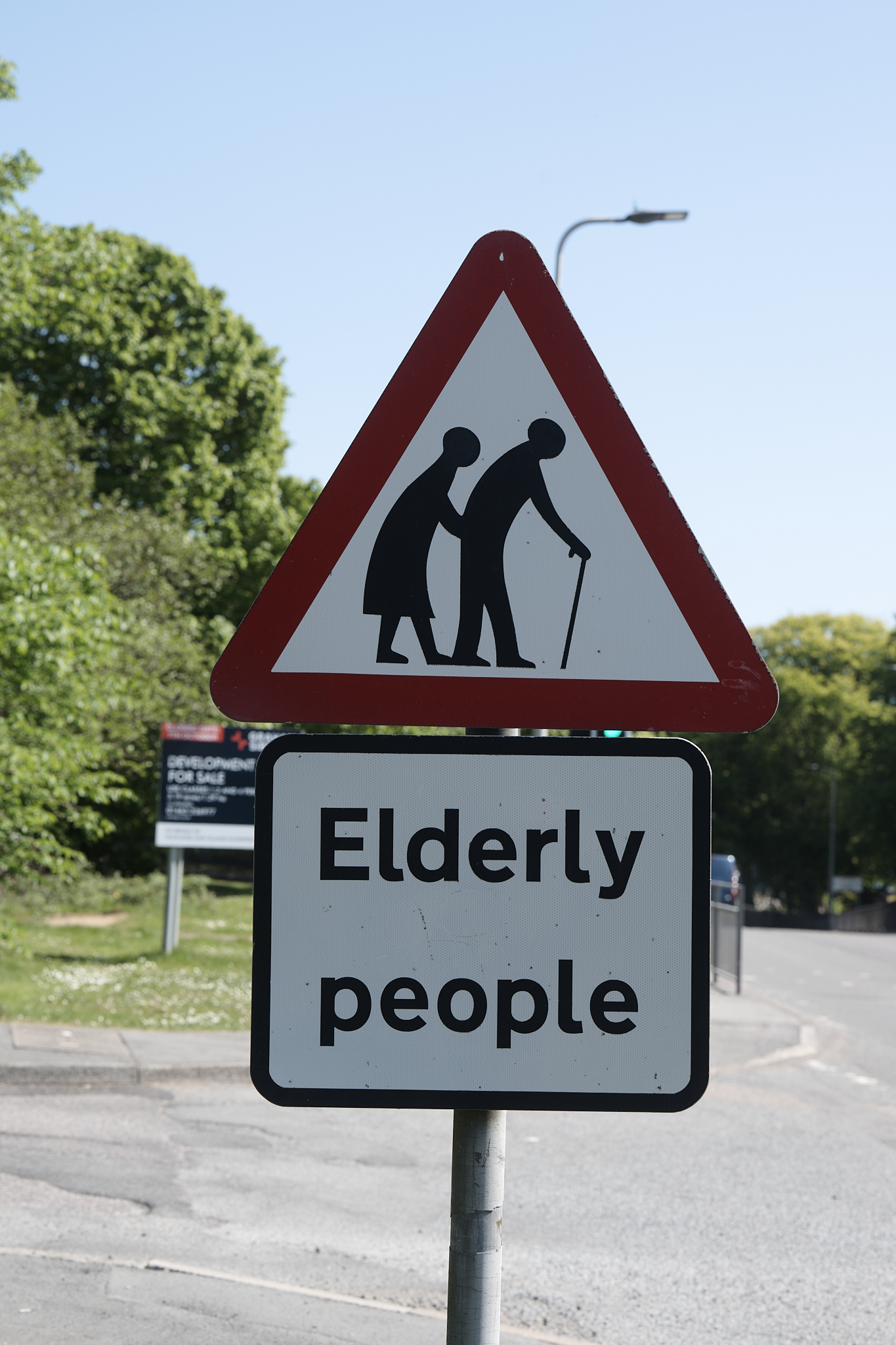
A crossing sign in Broadford. It seemed more relevant (for me) with each passing day.
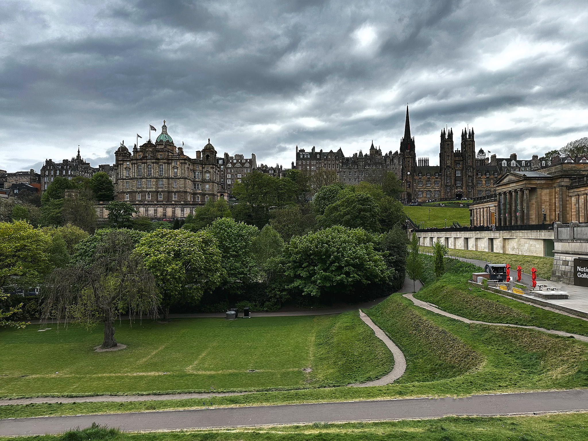
The Royal Mile and Old Town From New Town (Edinburgh).
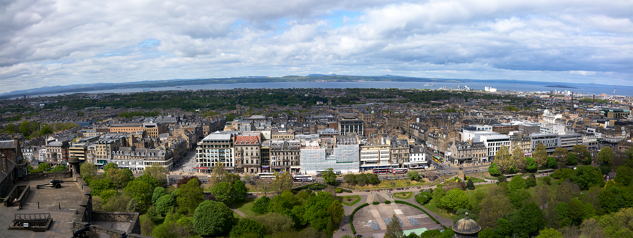
New Town and Firth of Forth from Edinburgh Castle.
A home in St. Andrews.
A home in Lochcarron.
A home in Torridon.
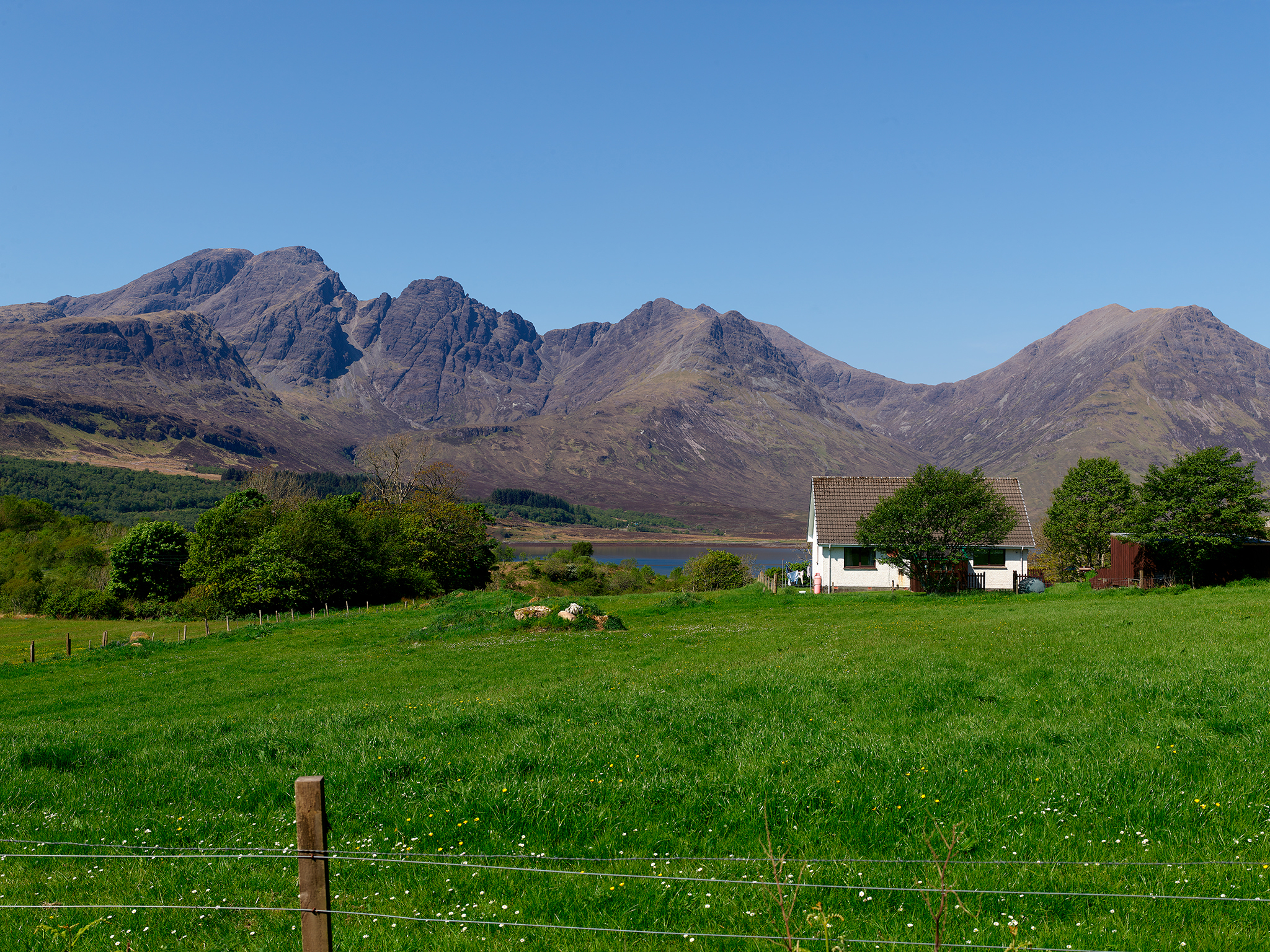
A home outside Broadford.
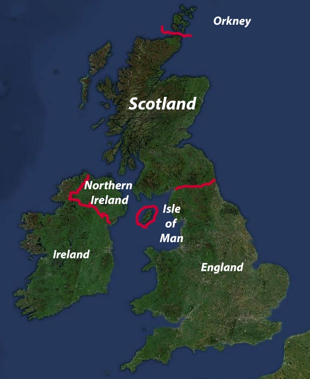
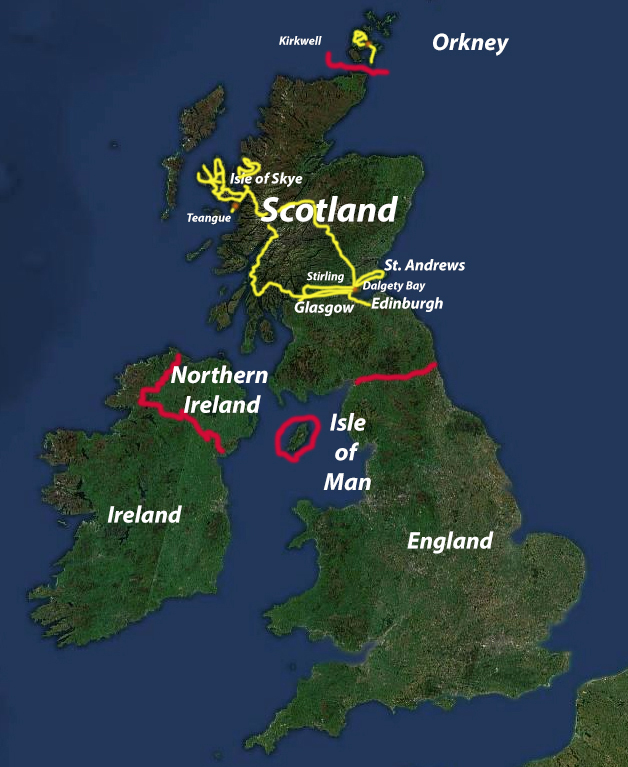
I Always Like a Map
*** Jeff’s Thoughts and Other Worthless Trivia ****
Scotland, my oh my… what a place and what a people.
I recommend Rick Steve’s Travel Guide for preparation and planning. By following his recommendations you can avoid (if you desire) Tourist Traps. A link to his website is [here] and the link to his book is [here].
Being a member of HomeExchange and conducting a HomeExchange is a material difference maker as it relates to the enjoyment on the trip. A link to HomeExchange is [here].
The Ground Rule as it relates to photography for this trip.
I photographed as a tourist, not a professional. I felt like a kid in a candy store. While my shots are captured using some of the very best photographic gear in the world, they are made as part of a trip operating as a tourist.
Light and the angle of light are crucial to my professional work. Time of day, time of year, and weather are of similarly importance. However, these aspects were not considered, or adjusted for at any time during the trip for any image captured. In short, no special side shoots were conducted. The shot was the shot at the time we visited. However Linda did let me take my time on the shot if I desired. There was no Shot-Clock enforcement.
During our travel adventures, the weather was great, often with clear skies and the sun high in the sky. More often than not, these conditions do not create conditions for an artistically compelling image. None-the-less it was wonderful to see Scotland with such ideal conditions as a visitor. Given the great weather, the best images were captured in my mind.
Photographic Gear Used On This Trip:
- IPhone (14)
- Sony RX1r
- Nikon Z9
- Nikkor Z 70-200M F2.8 lens
- PHASEONE IQ150 Digital back.
- CAMBO WRS 5000 Technical Camera
- Schneider 60MM f5.6 Lens
- Rodenstock 90MM f5.6 Lens
- Schneider 120MM f5.6 Lens
- GITZO G-LOCK ULTRA Tripod
- ARCA SWISS C1 Cube Geared Panning Head
I did perform one key aspect as it relates to planning. All of my gear, 42 pounds worth, was packed in the special camera bag created by my son Kyle for me in 2013. The full bag was at-the-ready in the car on every drive or on my back for every hike and walk.
Each of the photographic devices mentioned above are terrific for capturing images. I like and use them all with confidence. However, each are different in terms of their capability, strength and weakness. The differences between are difficult to demonstrate via a website and a computer monitor display.
For example:
The IPhone is a rather magnificent device. It’s normal output can produce some great work at 300 dots per inch (DPI) in 11″ by 14″ (100% size) and 8Bit Color (256 colors per channel).
At the other extreme is the PHASEONE IQ. Combined with the Cambo and the lens’ listed above, some of the images captured on this trip are 48″ by 80″ in their native (100%) size and 16Bit Color (65,536 colors per channel).
Note: Most Computer Monitors display in 8Bit Color and at 72DPI.
Note: I receive no compensation for making recommendations.