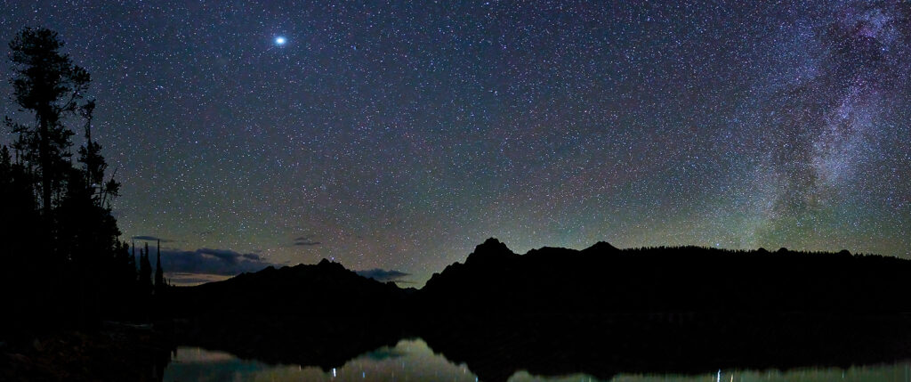
I decided to take a wintertime day trip (driving) along the Salmon River. I love this route, as it is remote, rugged and of variable terrain. Statistically speaking, the US Department of Transportation says that Highway 75 is the 3rd most dangerous in the country
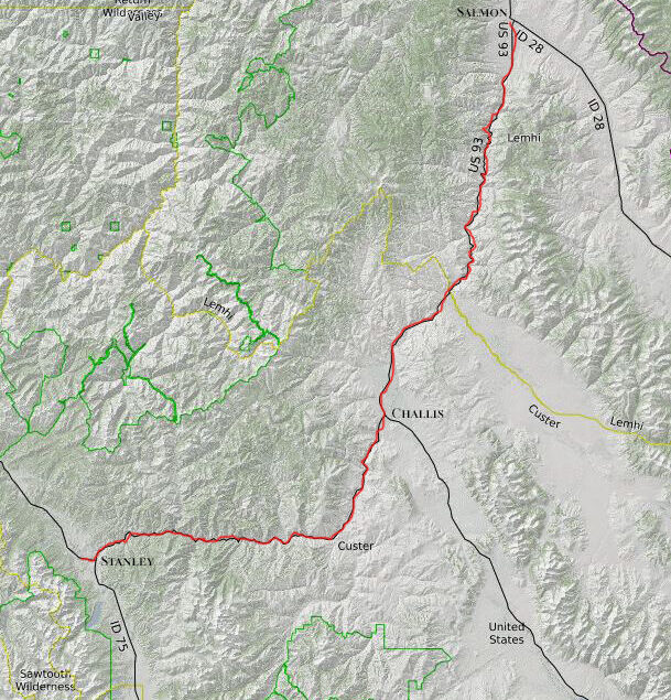
The trip will be from our home in Stanley, Idaho to Salmon, Idaho. The route is 254 miles round-trip. The travel is on Idaho 75 (from Stanley to Challis) and United States Highway 93 (from Challis to Salmon).
|
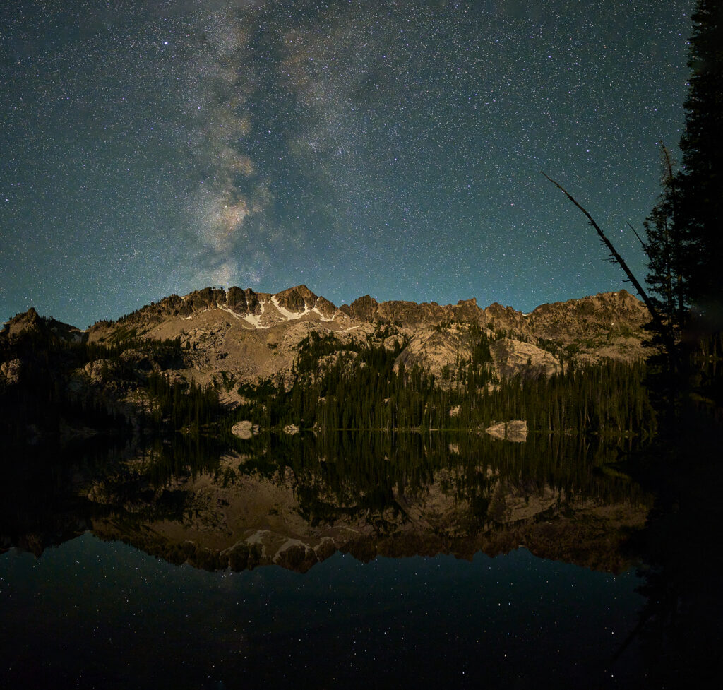
The Salmon starts near Galena Summit (north side of Norton Peak) and ends where it meets the Snake River (near Riggins Idaho).
At 425 miles in length, it is the longest undammed river in the contiguous 48 States.
Over time, the river has carved some of the deepest gorges in the United States, There are sections with 7,000 vertical feet of drop. It has more vertical relief than the Grand Canyon. Nearby Hells Canyon (on the Snake River) is the only gorge considered deeper in North America.
The river gained notoriety with the general public as a result of the Corps of Discovery Expedition (aka Lewis and Clark) in 1805, The Expedition’s hope of finding a water route across North America ended in disappointment at the Salmon. It is a river, said Lewis, “roiling, foaming, and beating against the innumerable rocks which crowded its channel.”
In the mid 1800’s this region of Idaho was full of lumberjacks, trappers, and gold miners. All had major problems shipping their bounty up river. The Salmon was nicknamed “the river of no return”.
|
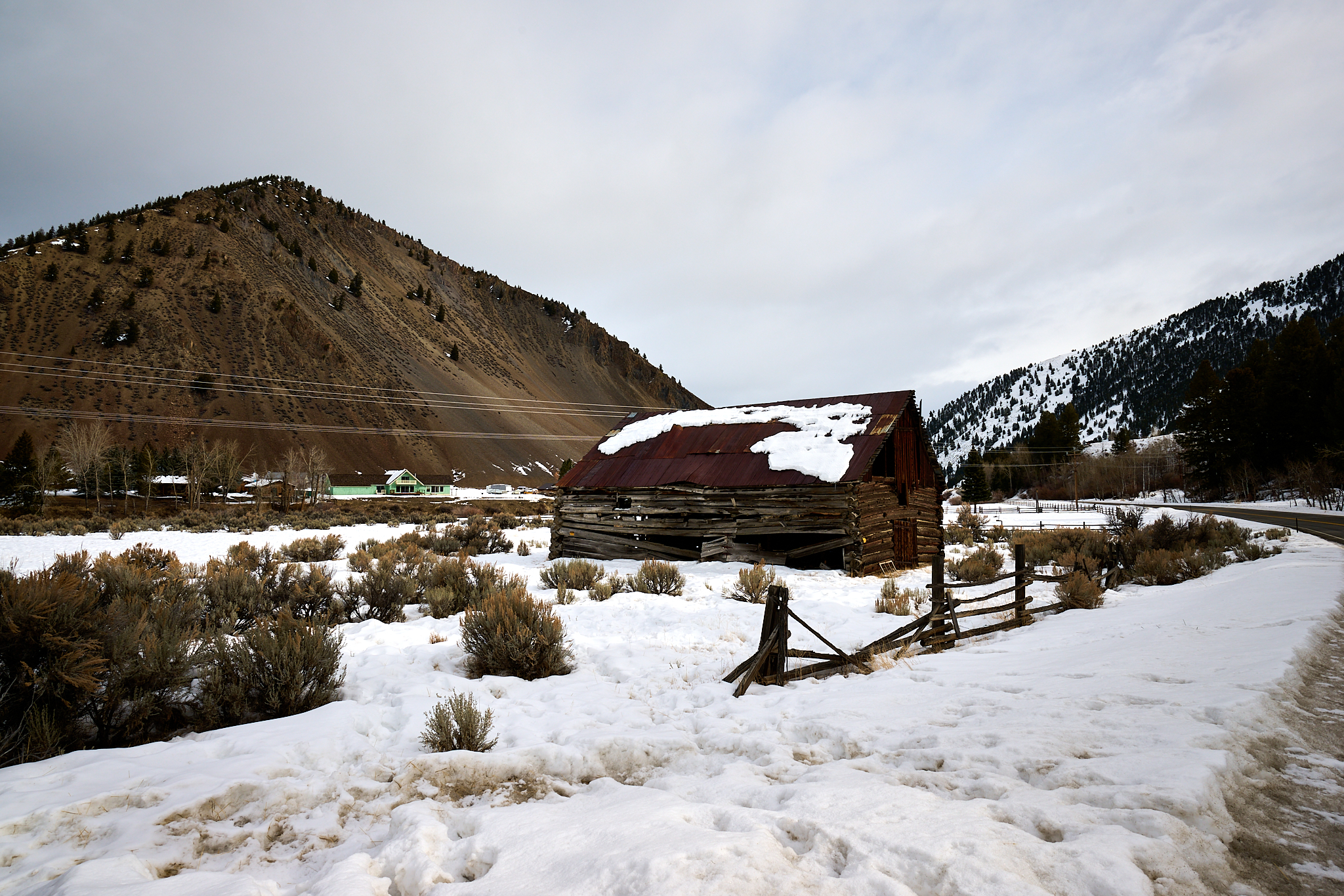
The day starts snowy and gloomy. I make my traditional stop at the Woolley cabin just east of Lower Stanley. Instead of capturing an image of the cabin, I decide to descend to the Salmon River for a shot. Luckily, I have brought gear to handle the waist high snow. The Sawtooth Mountains and the magnificent Goat Creek Basin (center-right center) are visible. Our home is located on Goat Creek, in the trees near the bottom of Goat Creek basin.
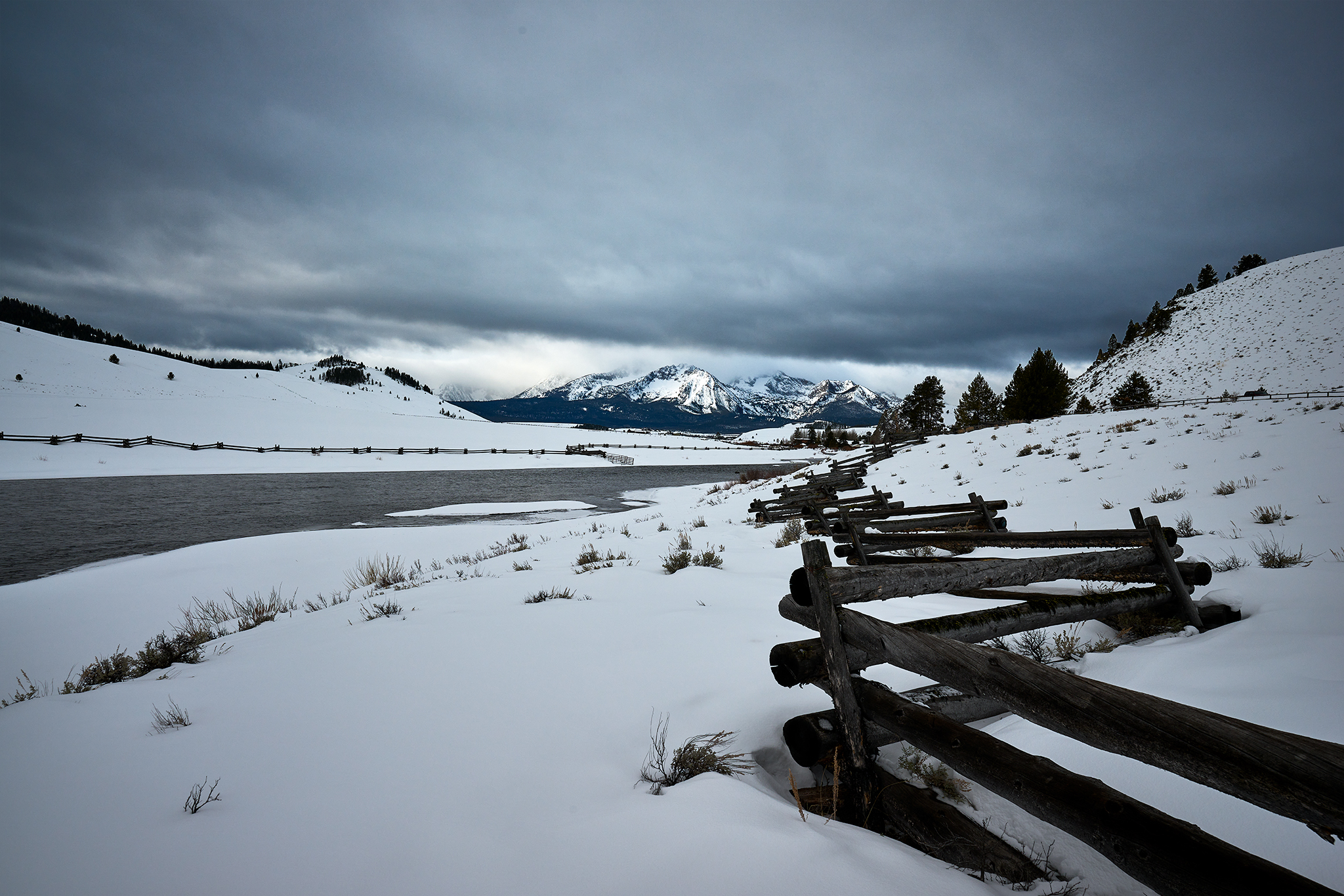
The Sawtooths and Goat Creek Basin as seen just east of Lower Stanley.
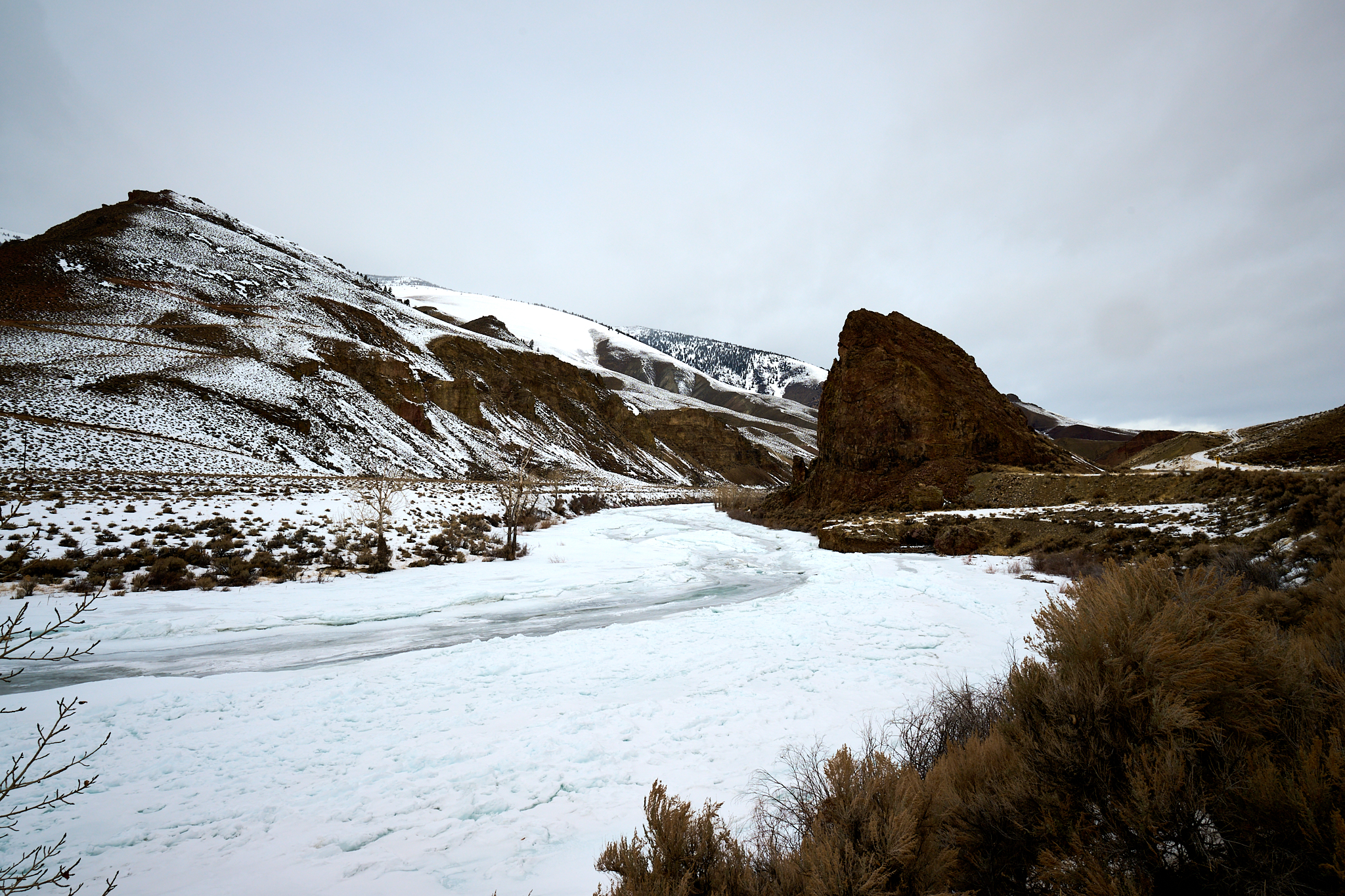
Next stop is one of the rapids on the Salmon River frequented by river rafters in the summer time. The Salmon is considered one the finest rivers for white water rafting in the United States. People travel the world to float the Salmon. On this day, snow rules.
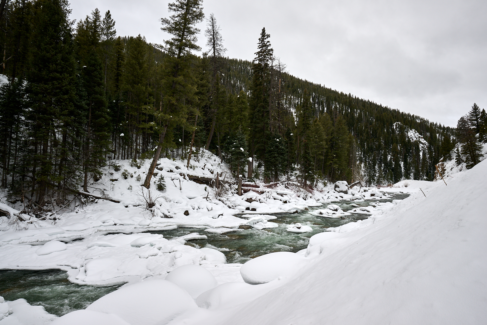
The Narrows rapids on the Salmon River
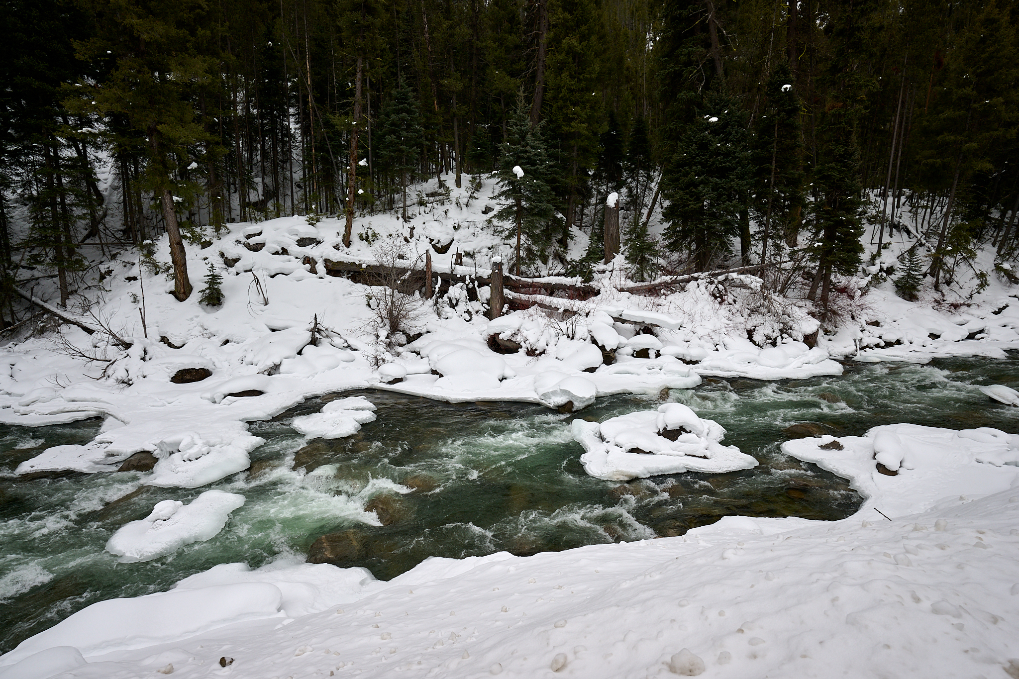
A closer look at the Narrows rapids.
For context of the difference between winter and summer, below is an image I captured of my son (Kyle) and daughter in-law (Ashley) on a float they performed with the staff of the Sun Valley Company last June.
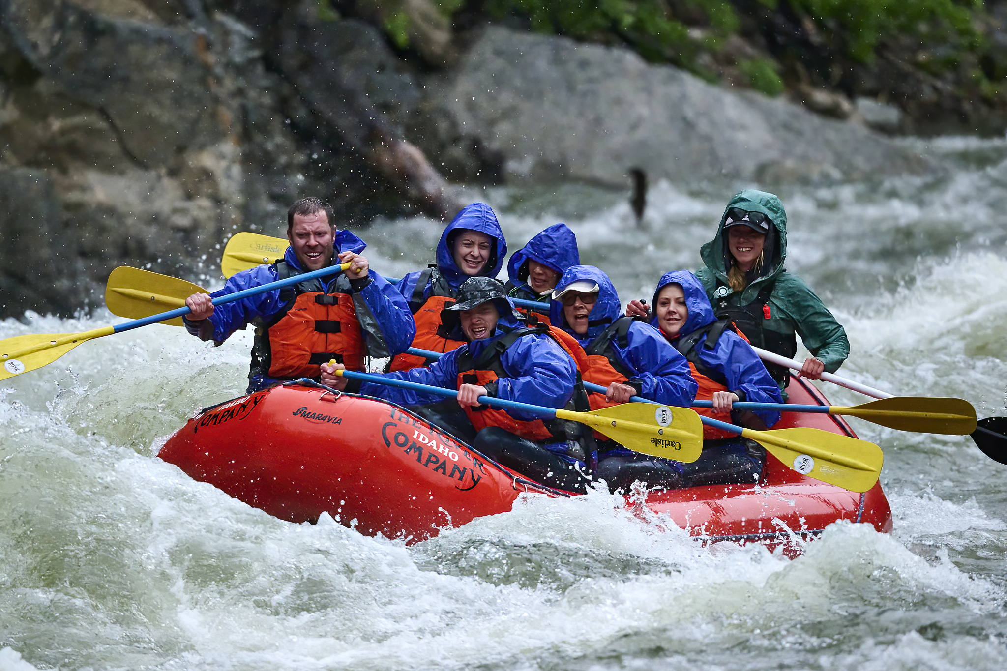
The Salmon in June
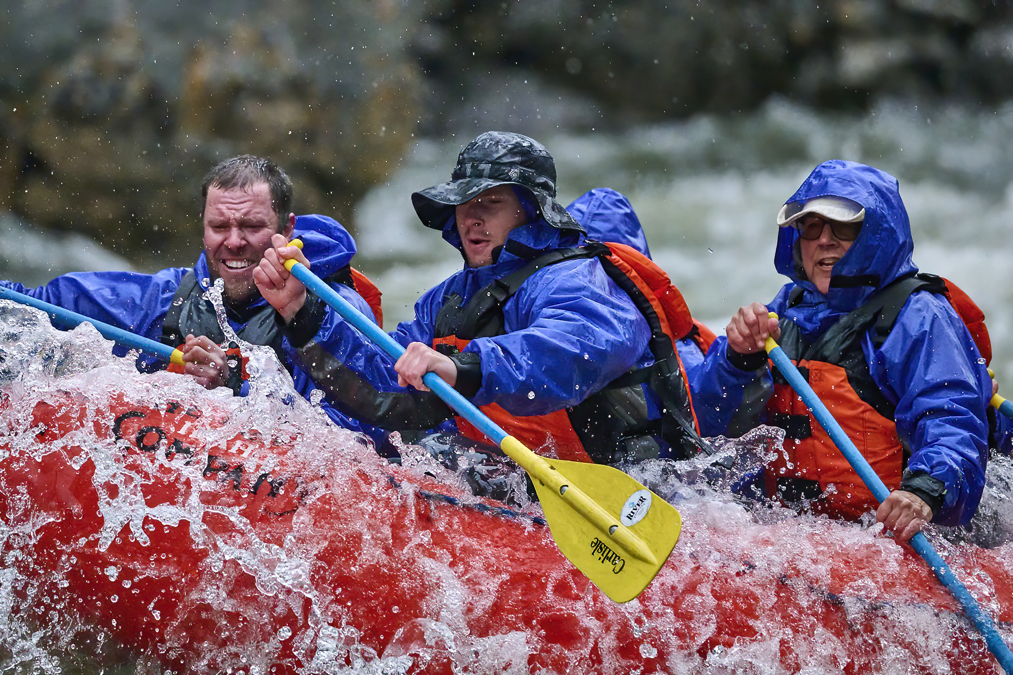
Wearing Wet Gear on the Salmon is a good idea.
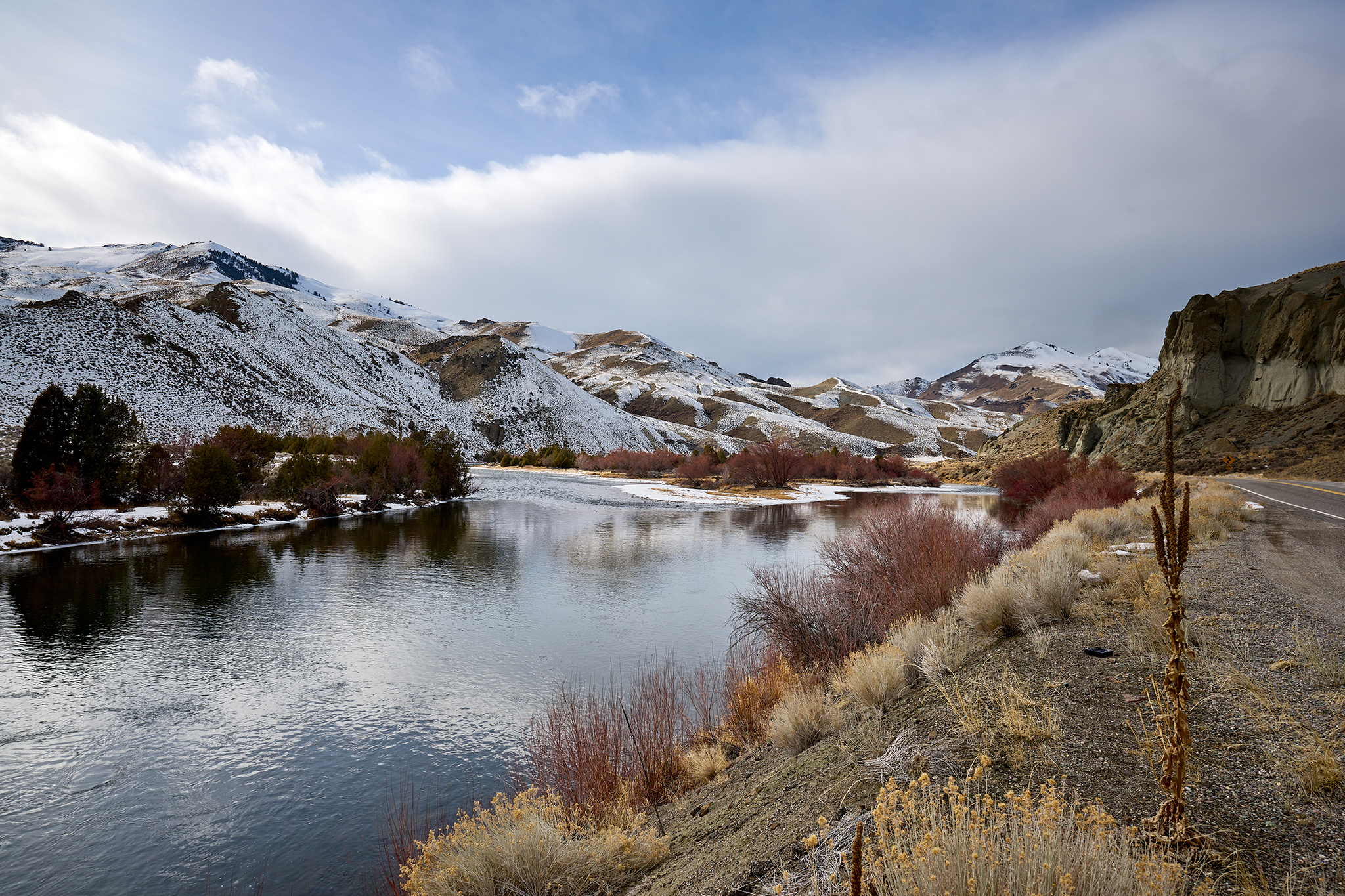
I head east (northbound on Highway 75) towards the town of Clayton (population 8), the East Fork of the Salmon River and the town of Challis. In this section, the terrain and the feel of the river change materially. The Salmon River takes a hard turn to the north when it joins with the East Fork of the Salmon River between Clayton and Challis.
The Salmon River, in this area, frequently jams up with ice. There are periods of time the ice jam at the bridge in Challis closes highways Idaho 75 and US 93.
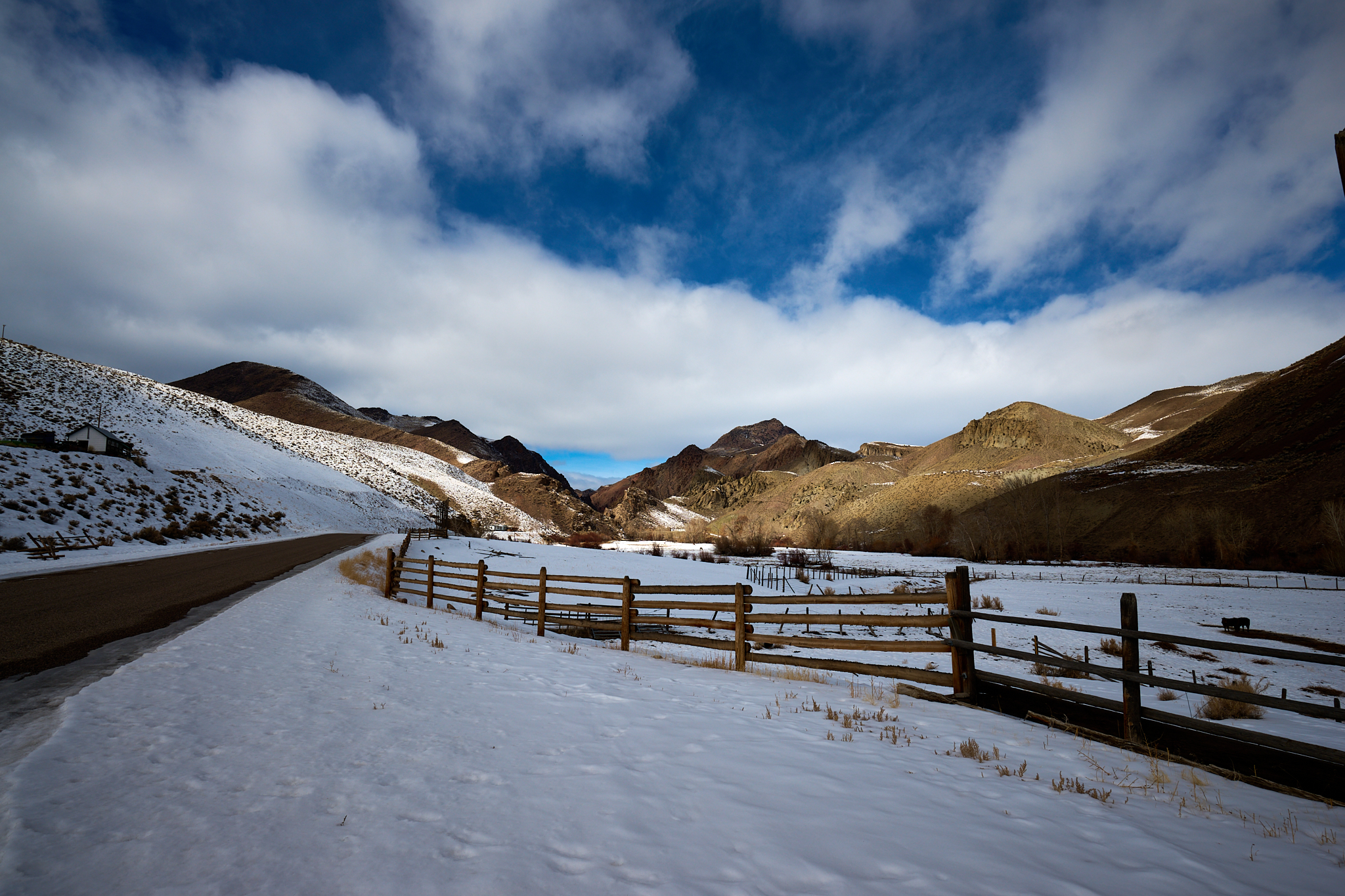
The town of Challis is cattle, horse, and big-horn sheep country. The Salmon River basin is wide in Challis. The river basin begins to narrow as it heads north. Narrow and steep canyons, on the west side appear quickly.
Morgan Creek just north of Challis is fascinating from a number of perspectives.
From a human perspective it is home to people who live off the land in an almost off [or truly off] the grid fashion.
For the traveler, Morgan Creek represents the very very best of “cutoff” routes. There may be none better. If your goal is to see the heart of the Middle Fork of the Salmon River as quickly as is possible, take the Morgan (National Forest Service Route 55). You avoid having to drive US 93 through the towns of Salmon and North Fork and west on National Forest Service Route 30. My guestimate is The Morgan saves 50-75 miles of travel. The downside, is the wonderful trip on the main route will not be experienced.
Morgan Creek at US 93
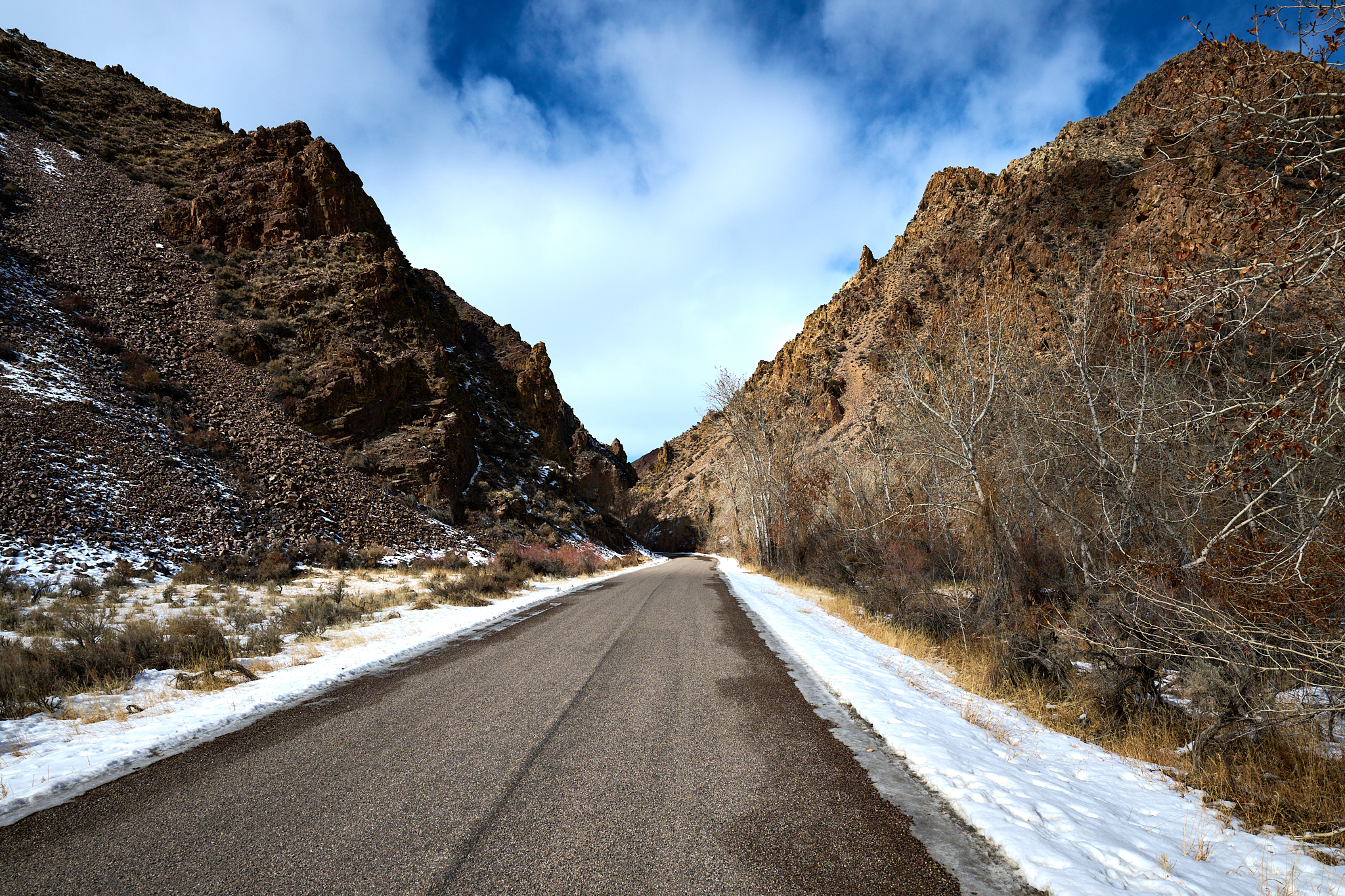
Morgan Creek (NF 55) can get narrow.
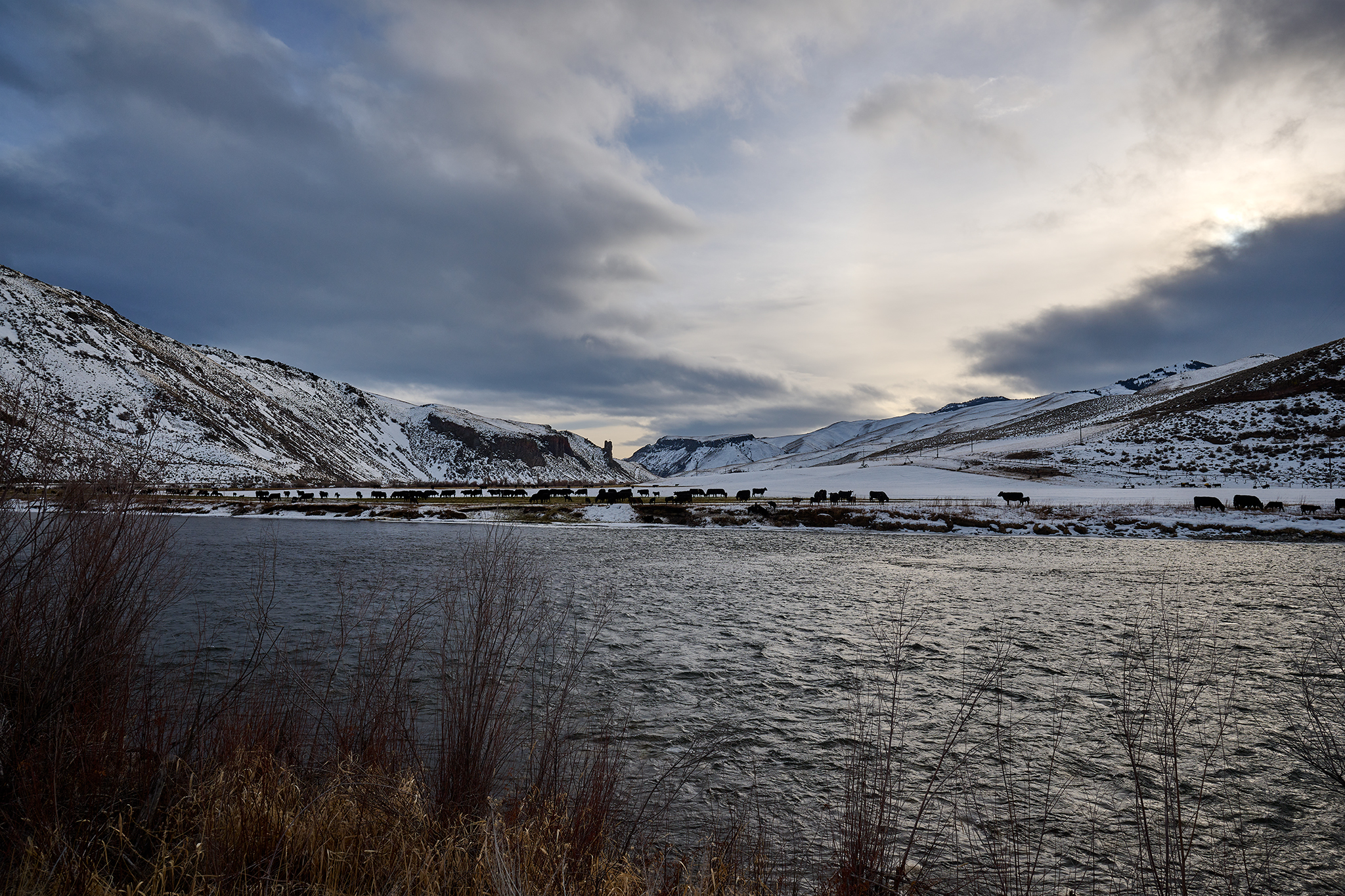
From the East Fork of the Salmon to Challis and up through the town of Salmon, a remarkable blend of people live in the region. From an economic perspective – the population is comprised of the exceptionally wealthy to poorest of poor.
From Challis to the town of Salmon, The Salmon River canyon contains – in full view – big ranches, trailer homes (many inhabitable) and abandoned homesteads and cabins.
This 61 mile section of US 93 has more curves and “bend” than any paved road I have travelled. All of it is easy to drive in a passenger vehicle.
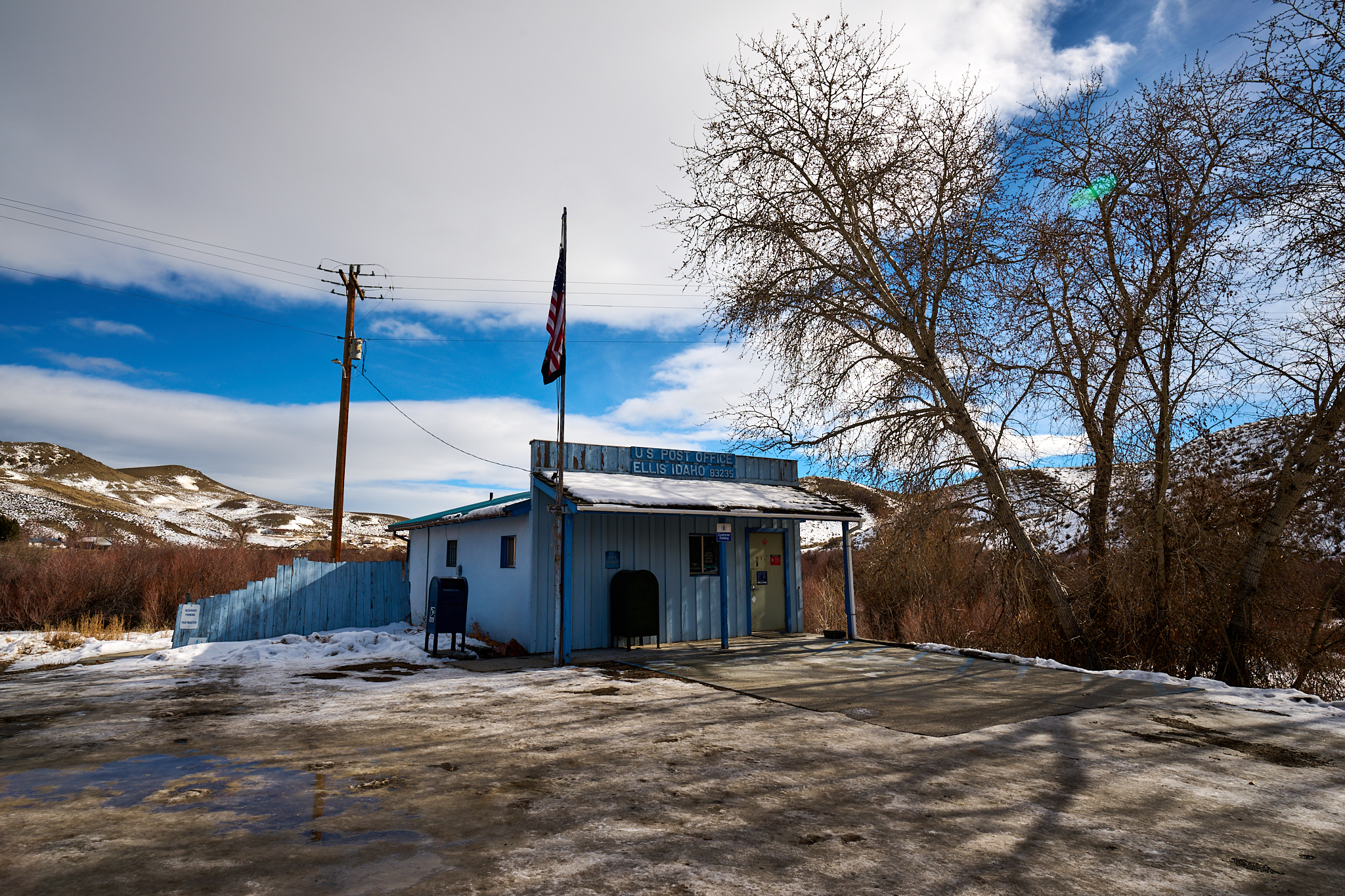
Ellis Idaho
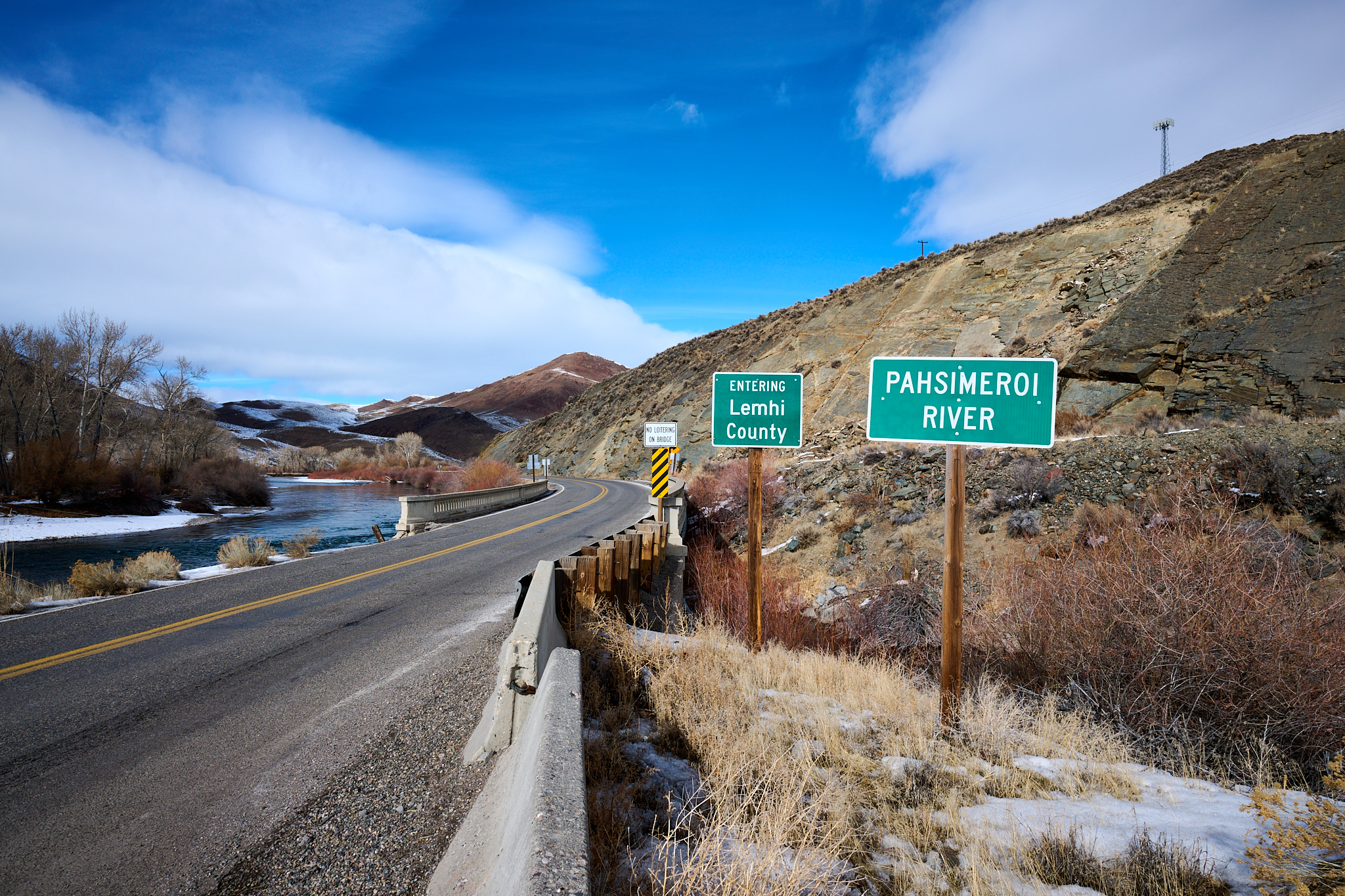
The Pahsimeroi meets the Salmon.
The Pahsimeroi River basin is home to nine of the 10 highest peaks in the state of Idaho. All over 12,000 feet in elevation. I have spent a great a great deal of time in the Pahsimeroi and on the top of those peaks. To the west of the Pahsimeroi is the Lost River Range. To the east is the Lehmi Range. It is stunning in a variety of aspects.
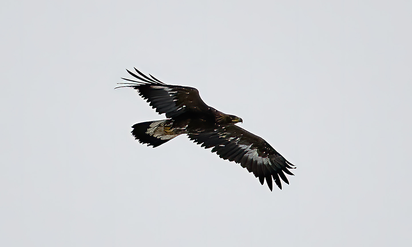
A Golden Eagle just north of Ellis Idaho.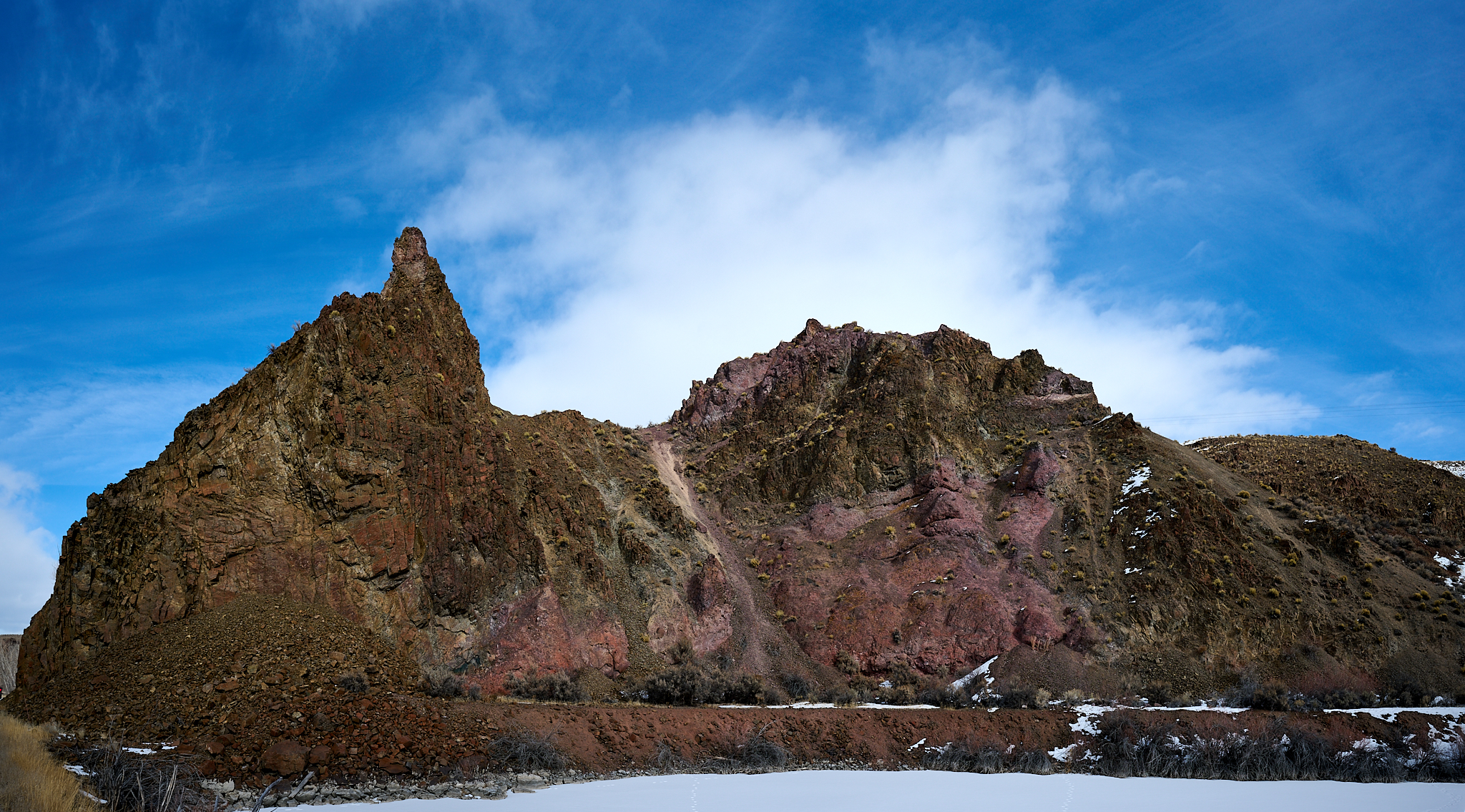
Just north of where the Pahsimeroi meets the Salmon I notice five birds flying, diving, fighting, and soaring. They are all Golden Eagles.
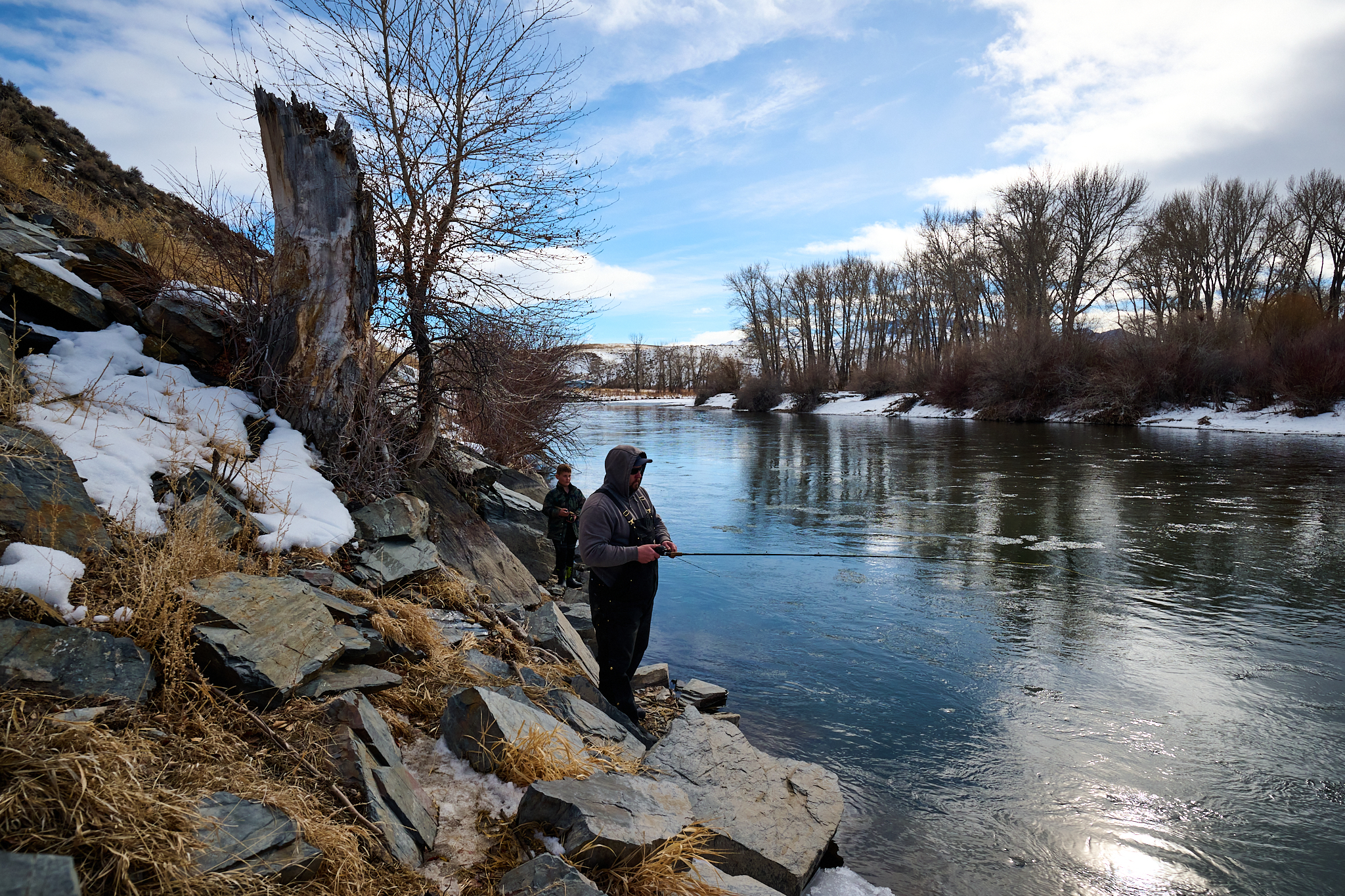
Fishing on the Salmon in Winter.
Just north of the flight path of Golden Eagle’s, I notice a family of five fishing on the Salmon. They are from Pocatello, Idaho who are on a fishing trip.
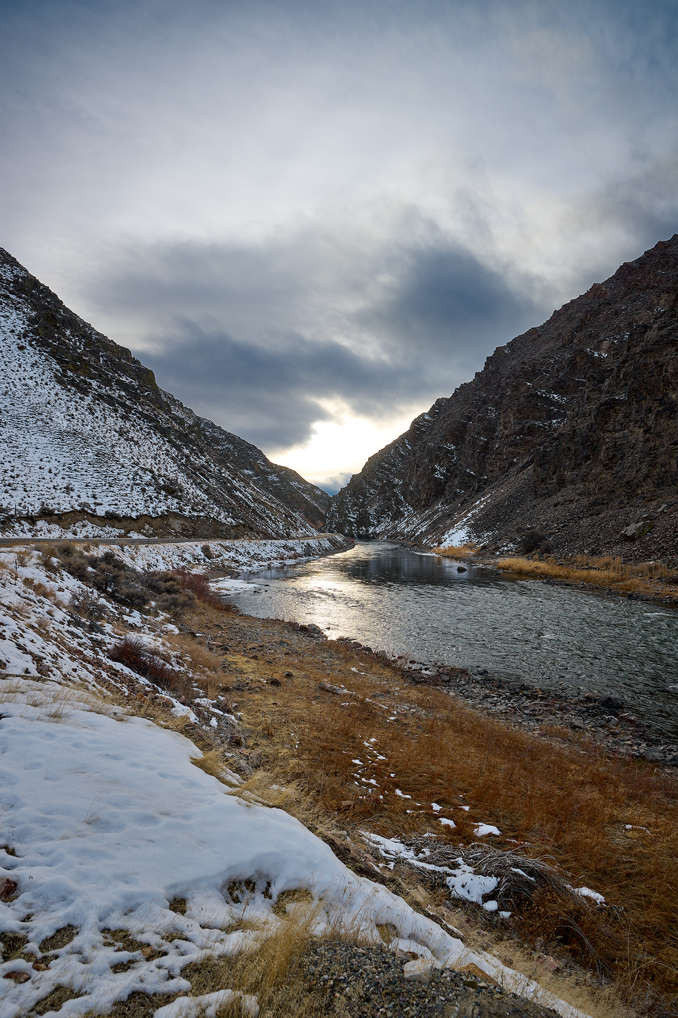
Royal Gorge
The Royal Gorge sits almost equidistant between Challis and Salmon. It appears almost out of nowhere.
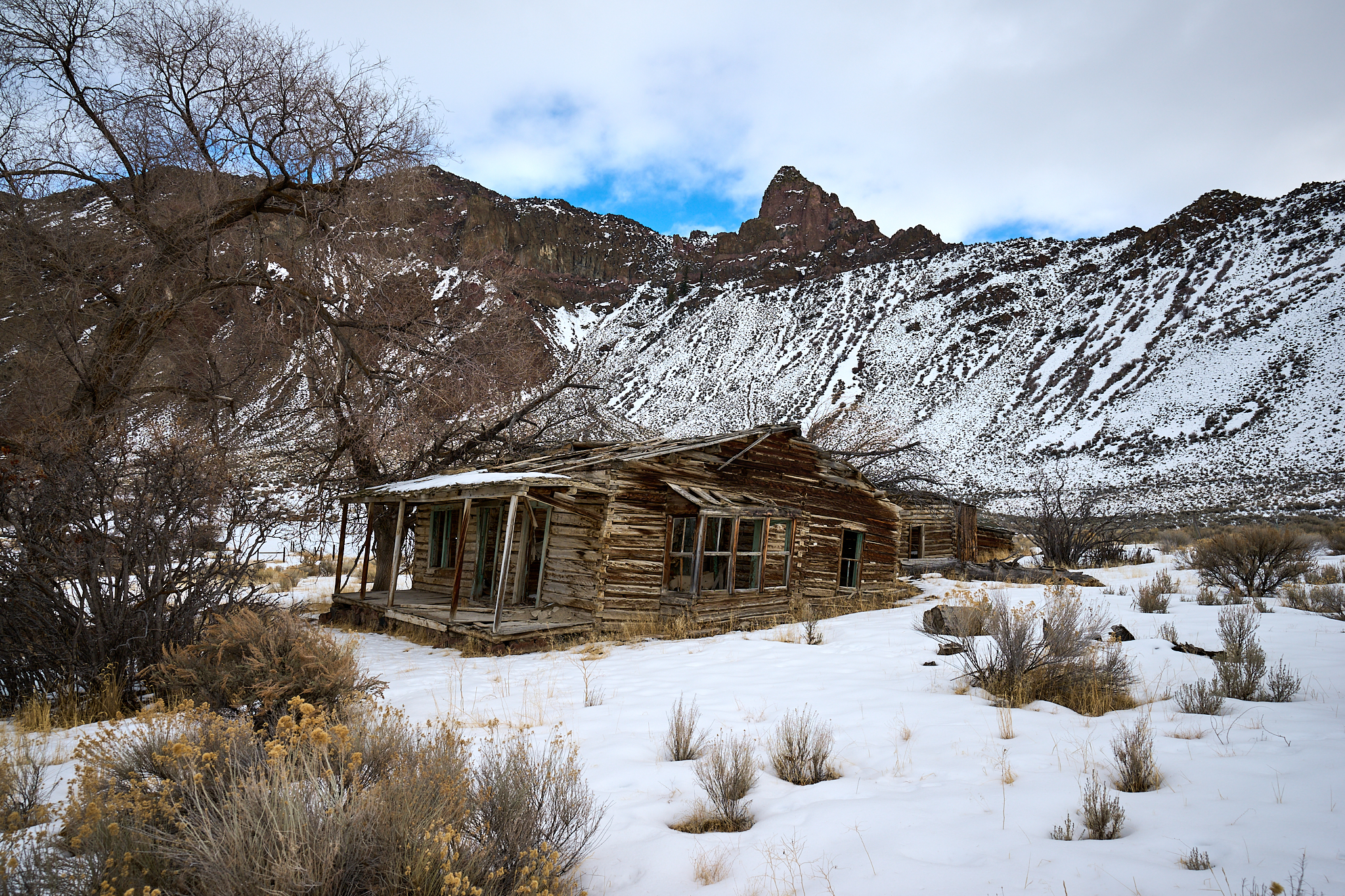
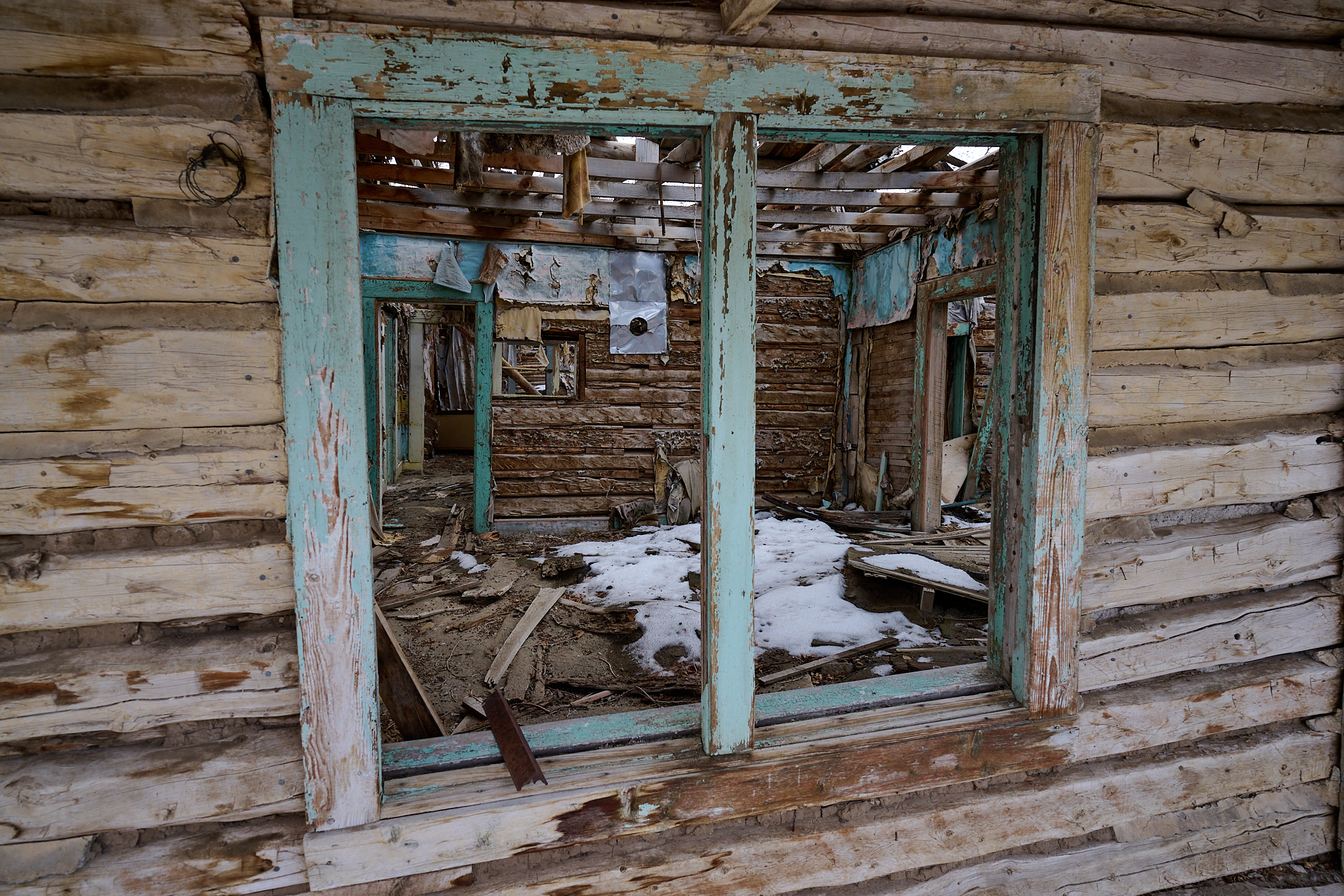
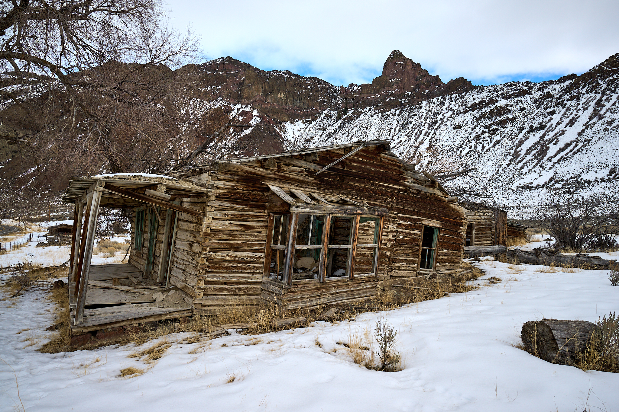
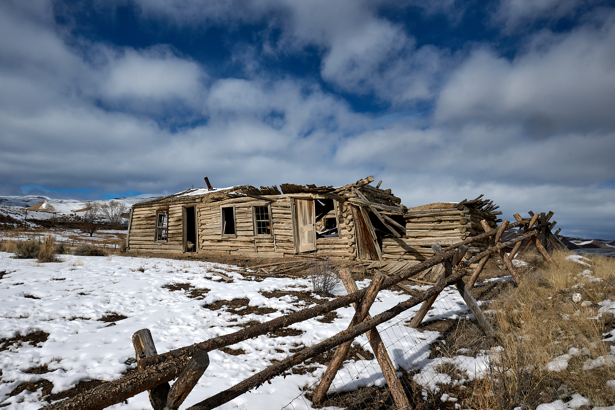
I have observed this cabin (above) for 40 years. The Salmon River between Challis and Salmon have many in a similar state.
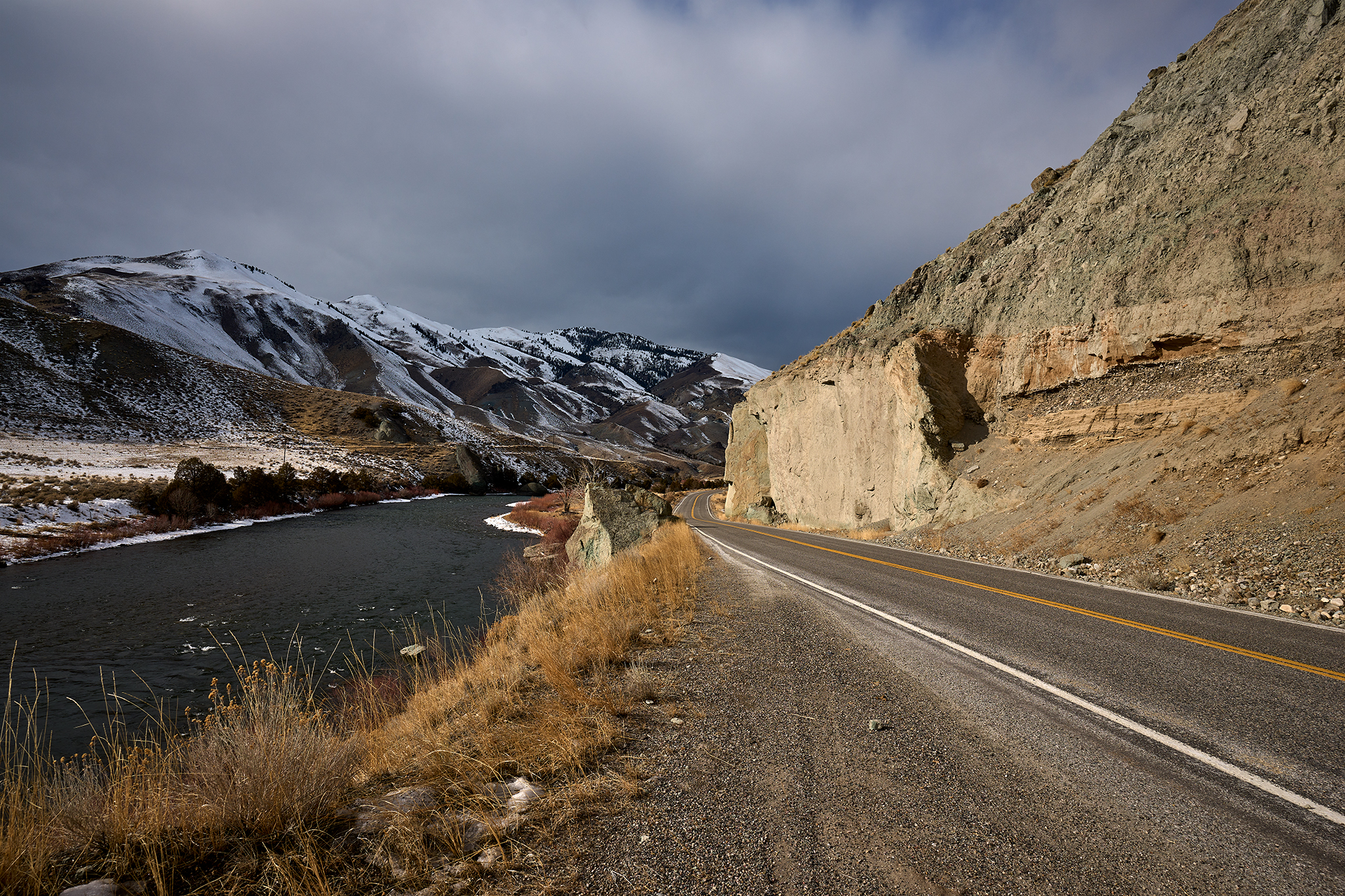
The images above are of Highway 93 between Challis and Salmon. If there were a 21st Century version of Arizona Highways Magazine for Idaho, I imagine these would be in the magazine.
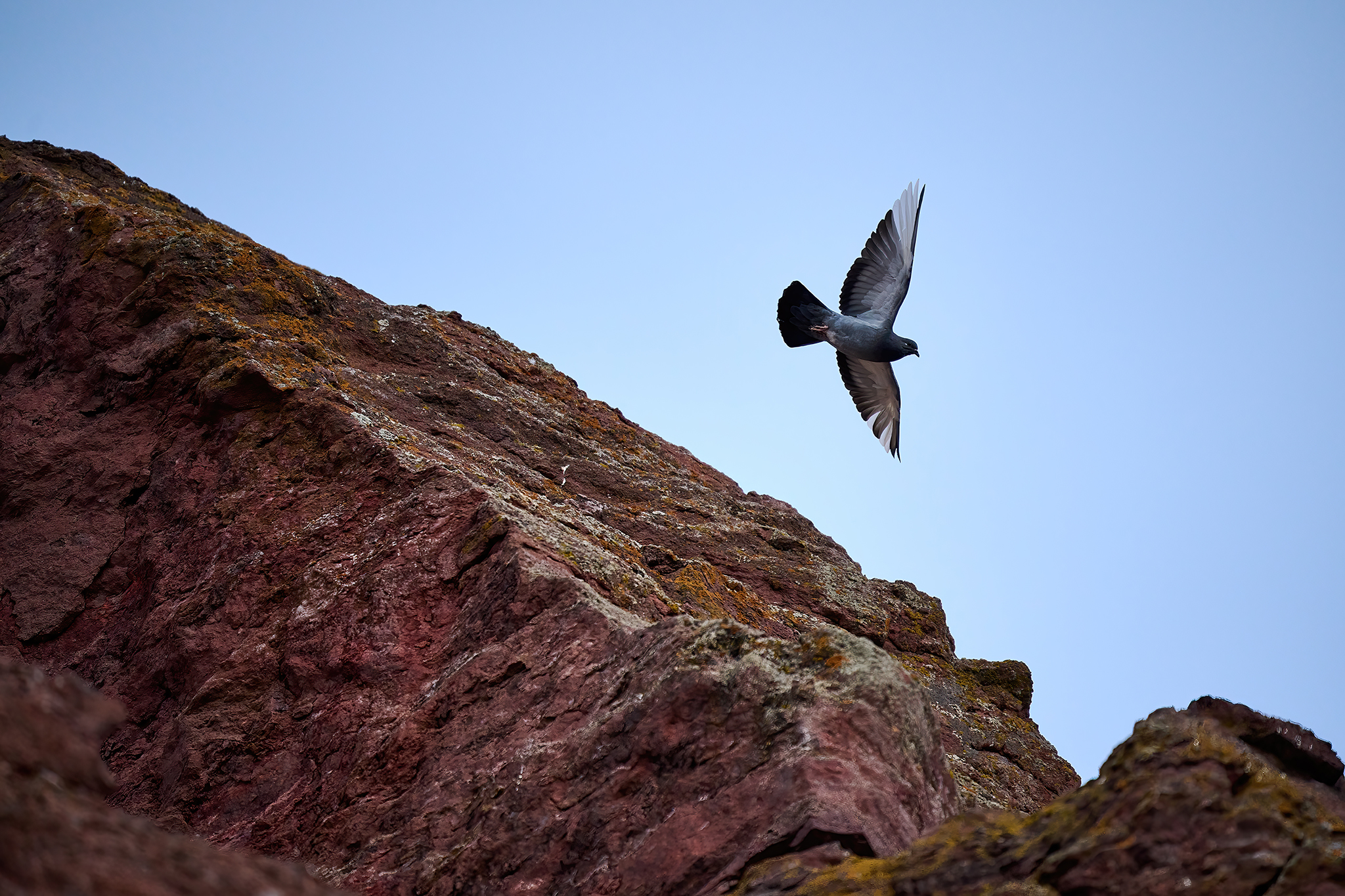
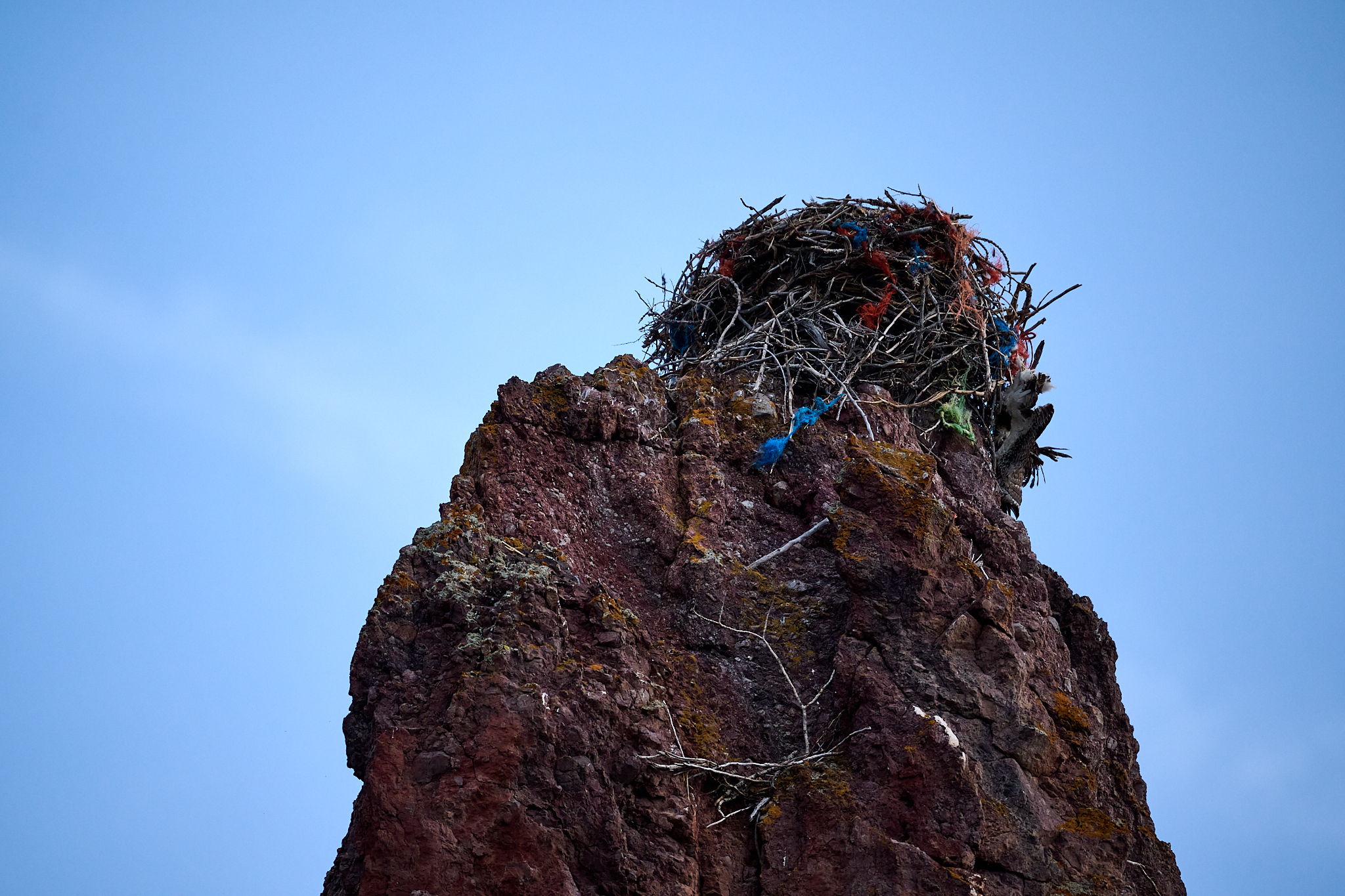
At Elk Bend there are cattle, waterfowl, Golden Eagles, and pigeons. The pigeon nest (some 300 hundred fee above the river) has many interesting artifacts – including a dead bird.
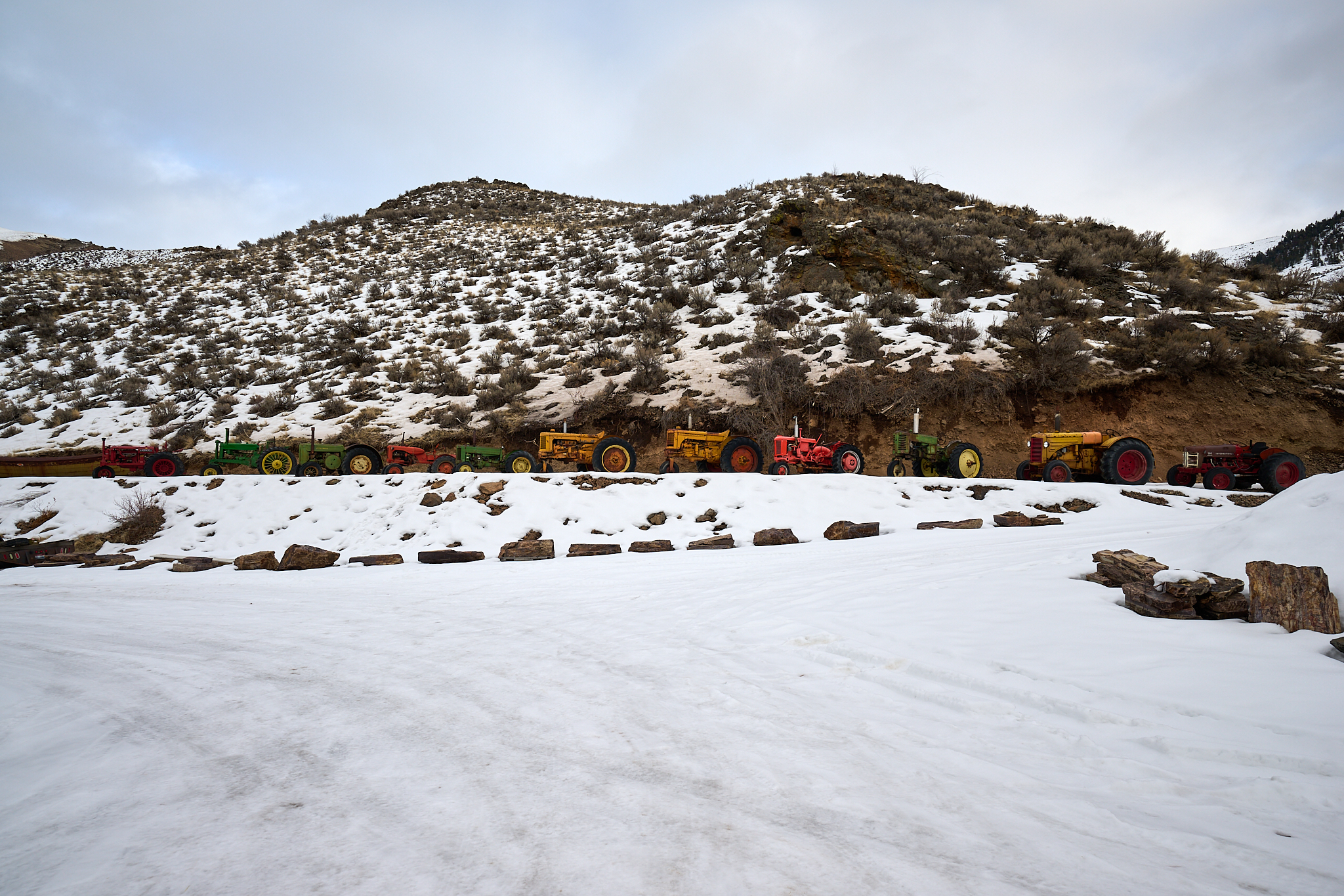
There are a number of “junk” yards just south of the town of Salmon. This one has tractors and Gas Station signs from previous eras.
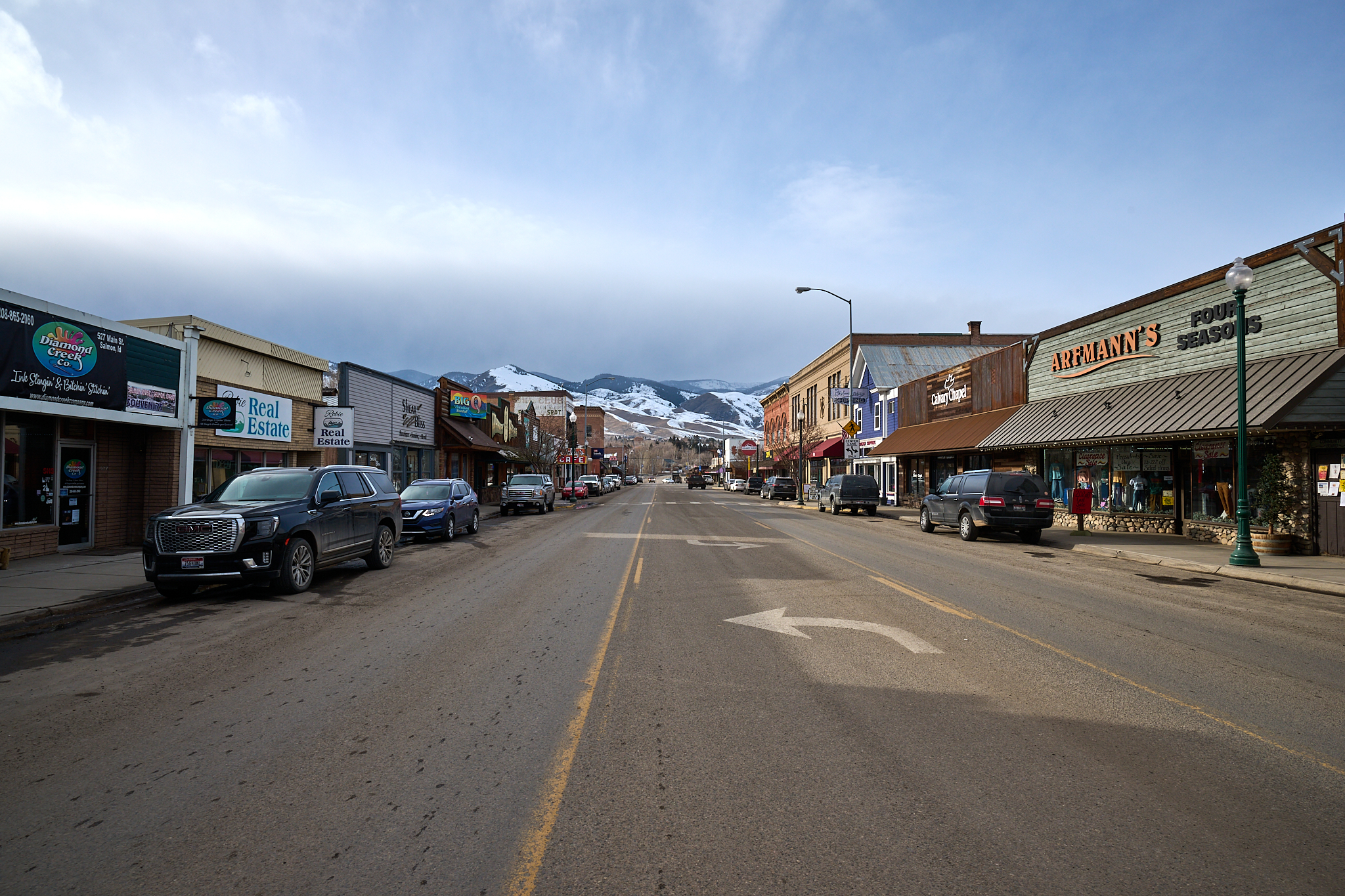
Salmon at 4PM.
I reach Salmon at 4PM. I turn the truck around, find a cup of coffee, and head back to the cabin in Stanley.
Preview in new tab