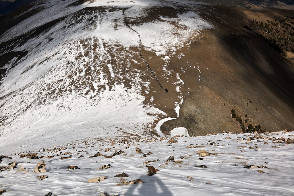
The truck at the summit of Railroad Ridge as viewed from the top of Peak 10,817
It is about 4:08PM (Mountain Daylight Time) on the First Day of Fall. I look down to my truck from just below Peak 10,817 in the White Cloud Mountains of Idaho. The descent remaining is about 532 vertical feet with the pitch (as measured on the CalTopo relief map) being between 35-45 degrees until the very bottom.
It is a great day to this point, and I do not plan on screwing it up by falling on the descent to my truck. While the valley floor and the Salmon River and additional 5,000+ feet below are sunny and a wonderful 69 degrees, I am currently situated in calf high snow covering a loose talus slope at a steep angle and 45 degree temperatures.
Luckily I planned for these conditions. I have equipment to assist in getting me up and down with 42 lbs. of camera gear on my back.
My goal is to complete a 2nd reconnaissance of the high peaks in the White Clouds and establish if the vantage point of Peak 10,817 will produce shots I desire. The answer is a yes.
My plan is to get sunrise shots in the next week or so and then sunset shots at the height of Summer next year. The angle of the sun at each time year will be perfect.
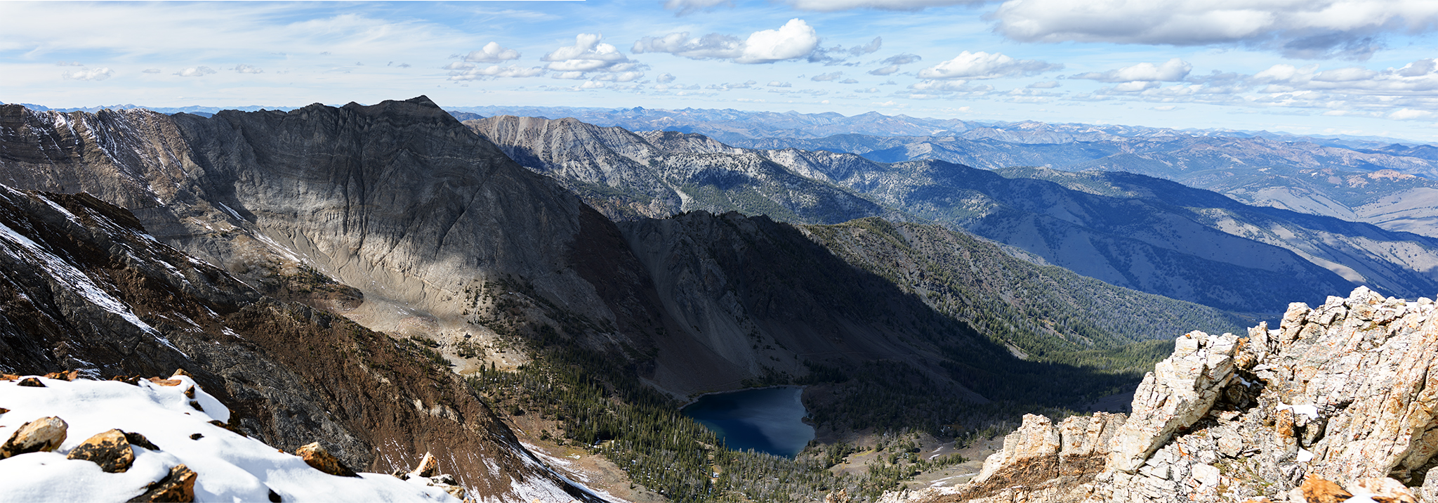
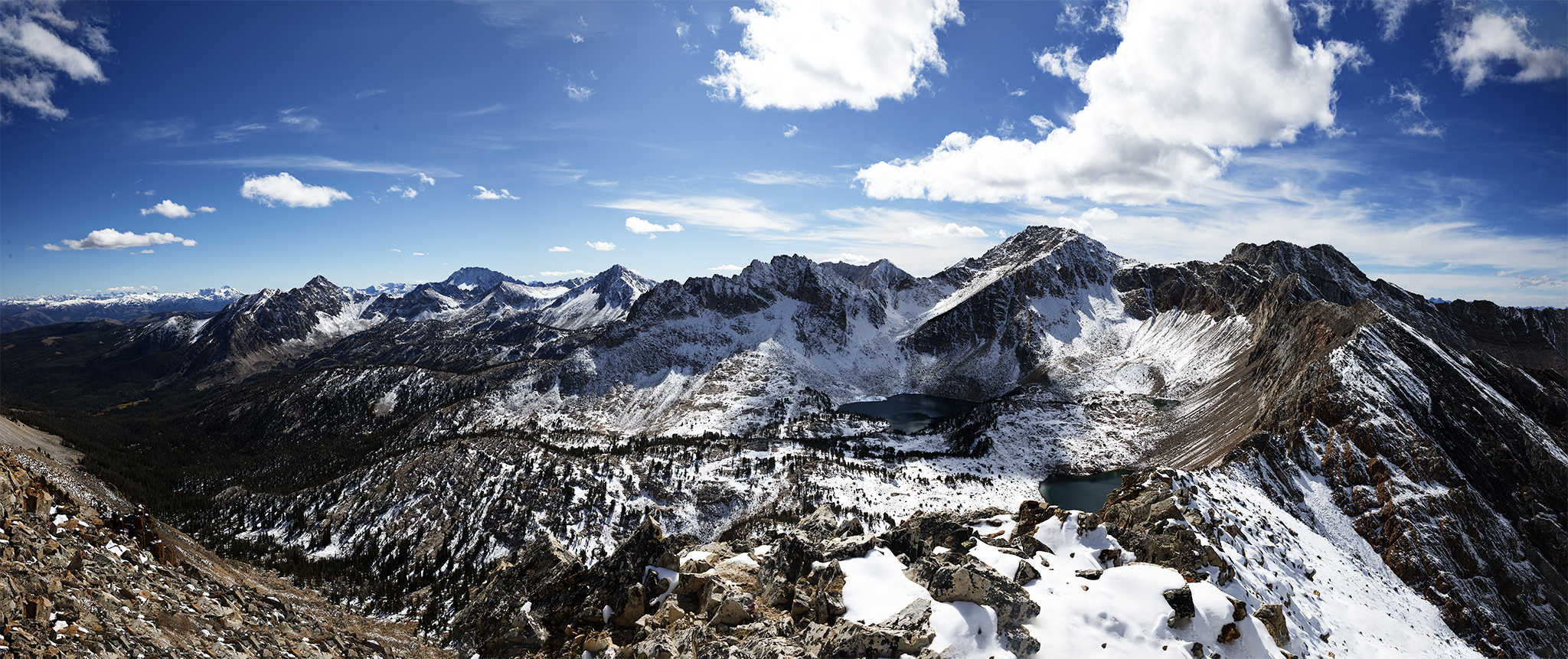
From the summit of Peak 10,817 the view to the north of the Chinese Wall and down into Crater Lake is pretty compelling
Calkins Peak from Peak 10,817
The view to the south of Peak 10.817 is astounding. Before me is Chinese Peak (11, 238 ft.), Calkins Peak (11,487 ft.) and White Cloud Peak #10 (11,102 ft.) They are the 7th, 2nd, and 10th higest peaks above sea level in the White Clouds. The highest is Castle Peak (11,815 ft.) which I climbed in 2013. Calkins Peak is named after Steven Calkins a Miner who prospected the area.
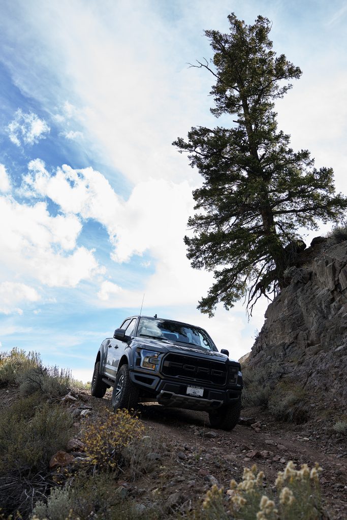
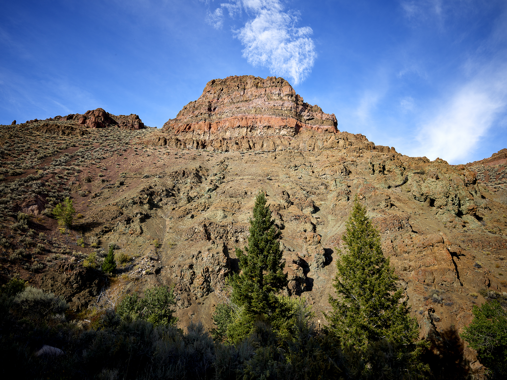
Descending on Railroad Ridge Road.
Upon reaching the truck I head down the highest road in Idaho. I have made this descent a number of times and it is pretty straight forward.
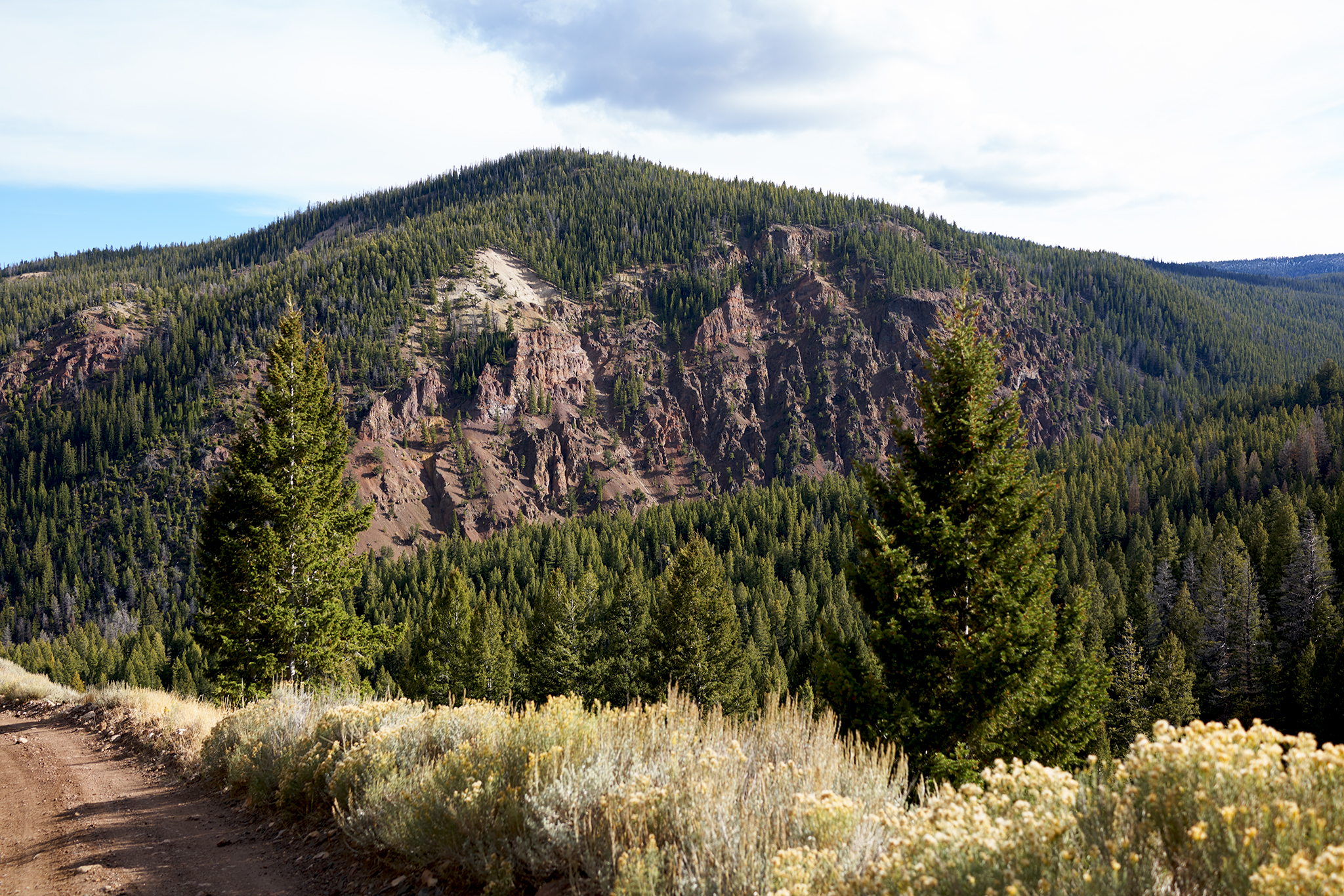
Big Boulder Creak drainage from Railroad Ridge Road.
The terrain at the starting point of Big Boulder Basin Creek Road (USFS #667).
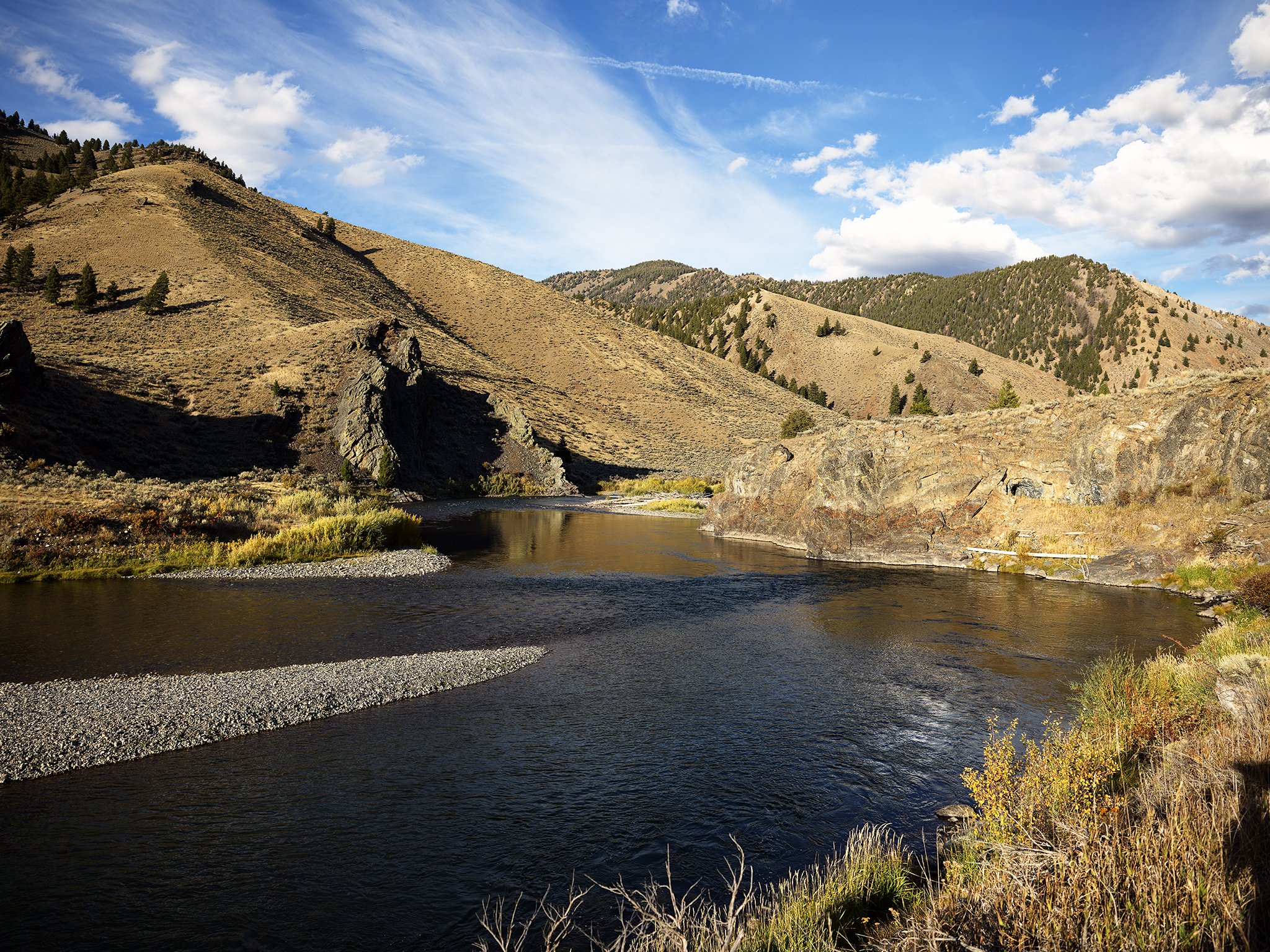
Bend in the Salmon River.
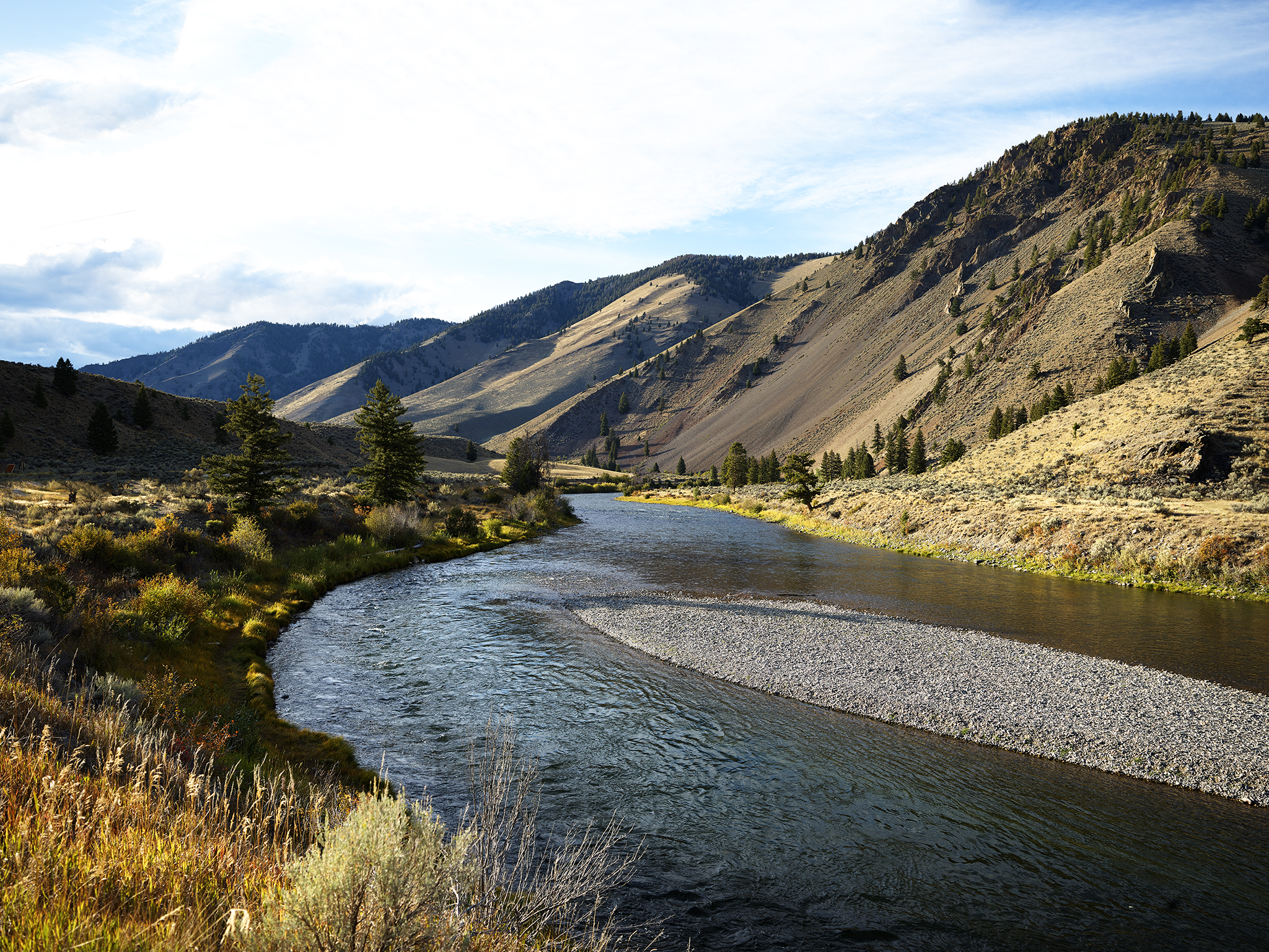
Salmon River in Fall.
What I wouldn’t give for a hammock,two trees spaced 15-18 feet next to the Salmon, a book, and two fingers of Tequila
All can be yours with a simple phone call.
agreed! except whiskey and a fly rod.
Nice place!
As well, all can be yours with a simple phone call.
The Goatman and I were hoping to have done an adventure with you last Sunday. Looks like you had a great one yourself! And it also looks like you could be in danger of being asked by Ford to do a Raptor commercial!