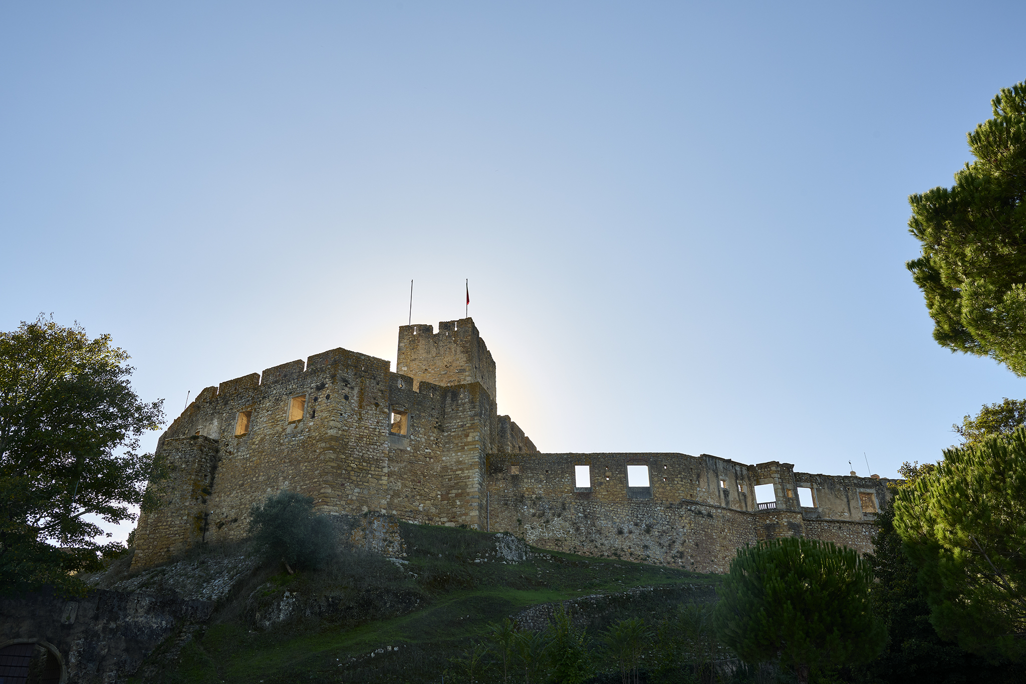
Castle of the Knights Templar as the sun sets
Using the word spectacular when describing a place, person, or thing can prove dangerous. As it relates to Portugal, I will take the risk. The Castle of the Knights Templar and Convent of Christ is otherwise spectacular.
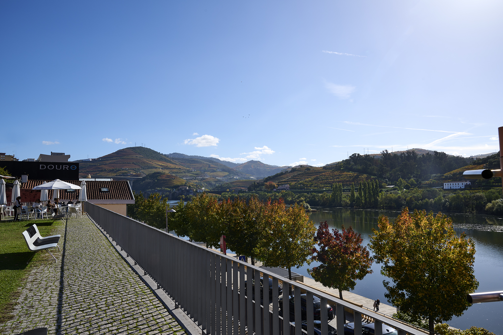
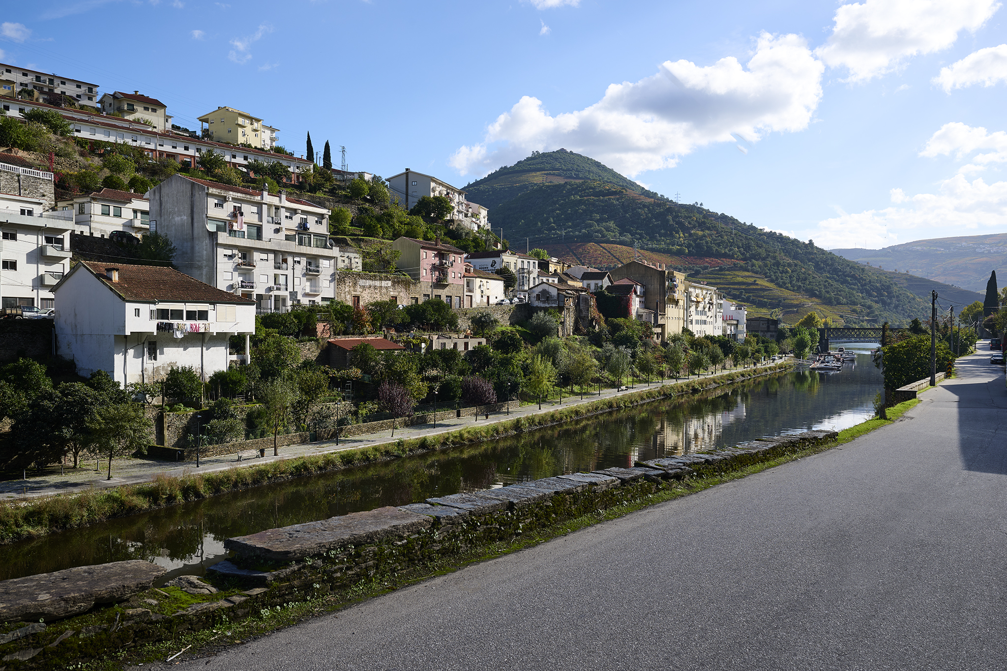
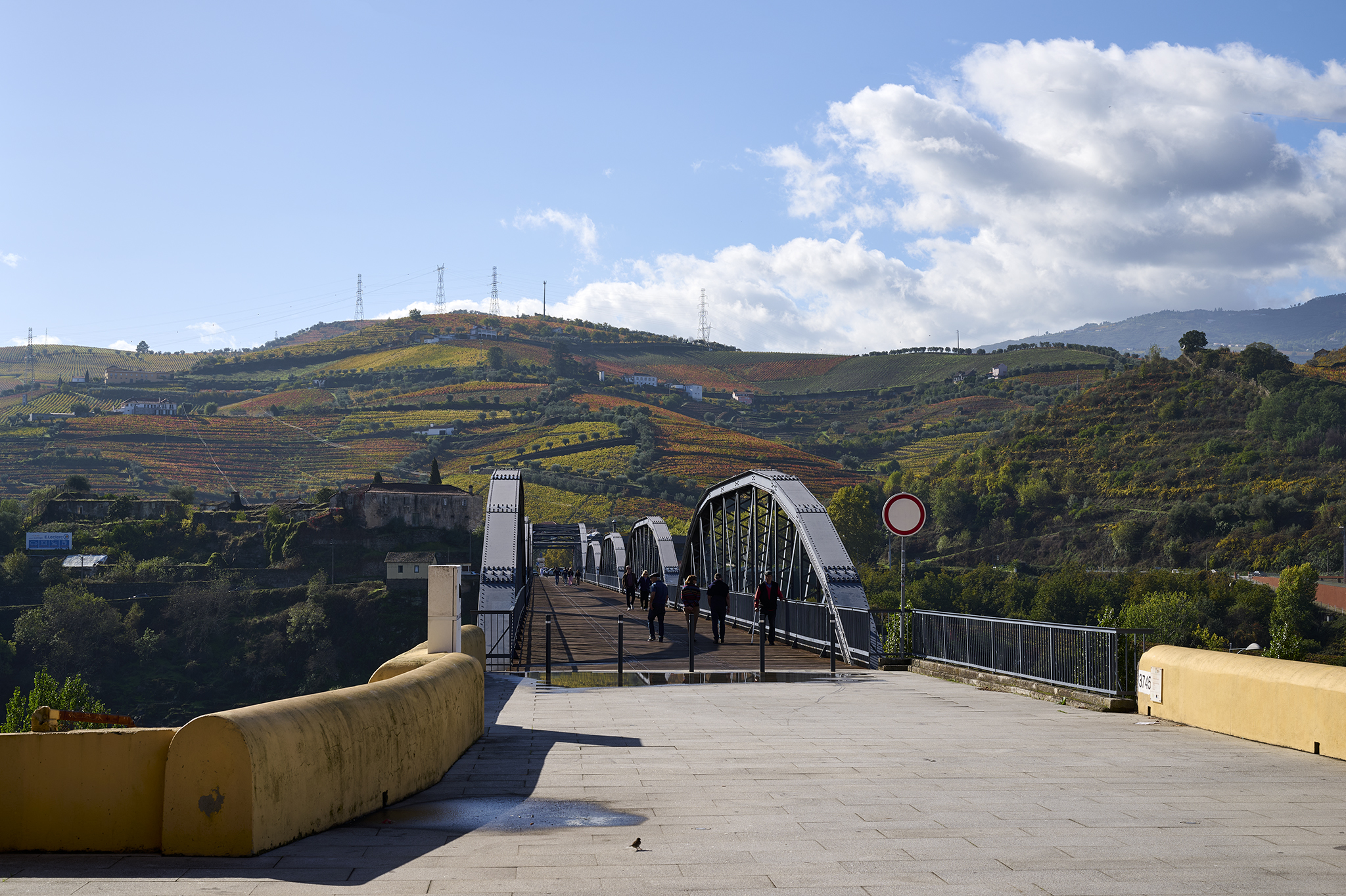
To reach the Castle of the Knights Templar and Convent of Christ, you must travel through the beautiful Portuguese town of Tomar. Tomar is a 90-minute drive from Lisbon. Tomar sits on the Nabao River. The riverfront park is clean and lush. The town is colorful and enchanting, with tile roofs and the deep red Knights Tomar emblem.
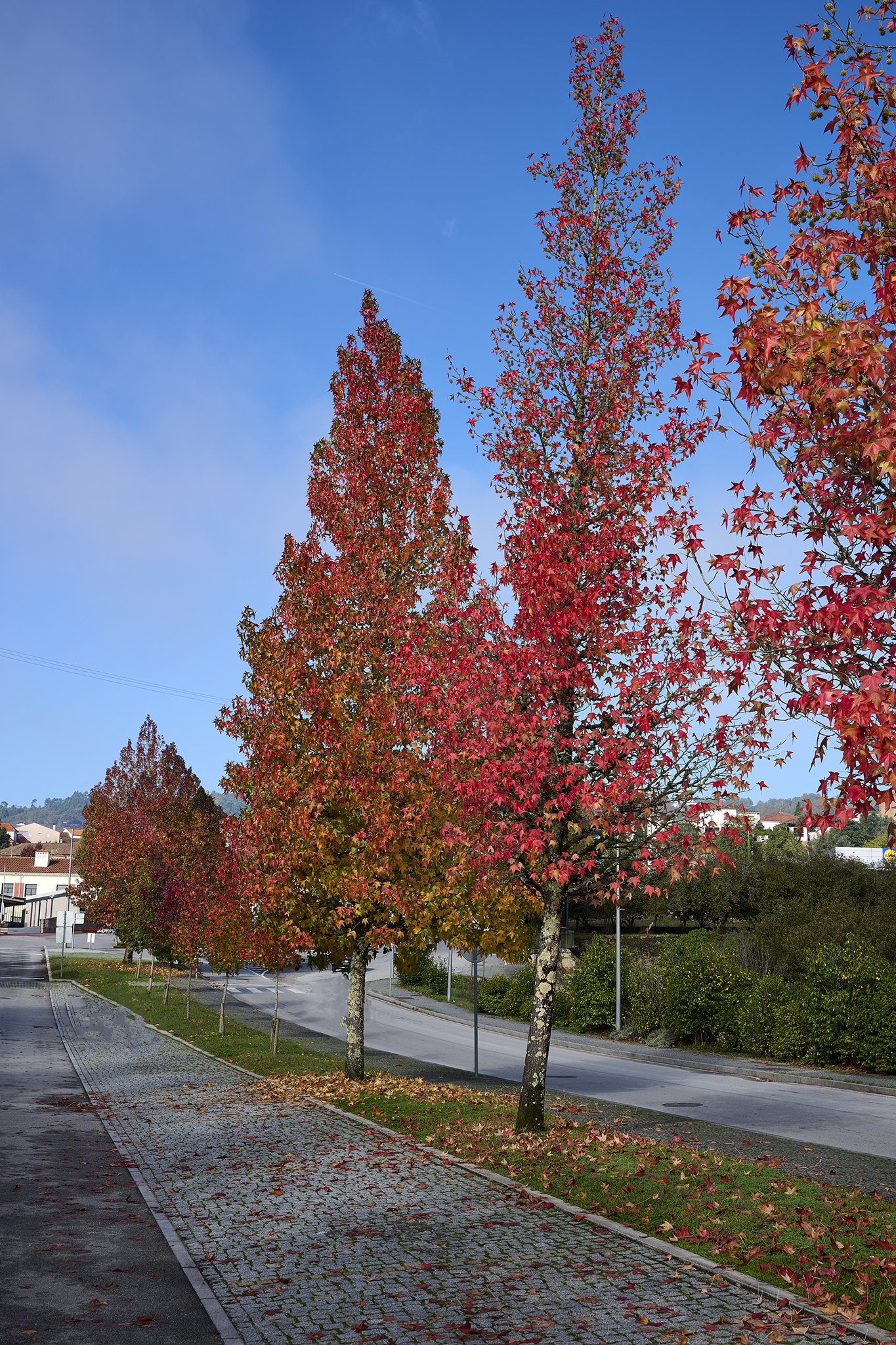
Tomar does not feel touristy. Shops on the narrow streets are well stocked, varied in theme, and appear to be owned by locals. The center of town is bright and alive. Neighborhoods surrounding the center of town are pretty and well kept.

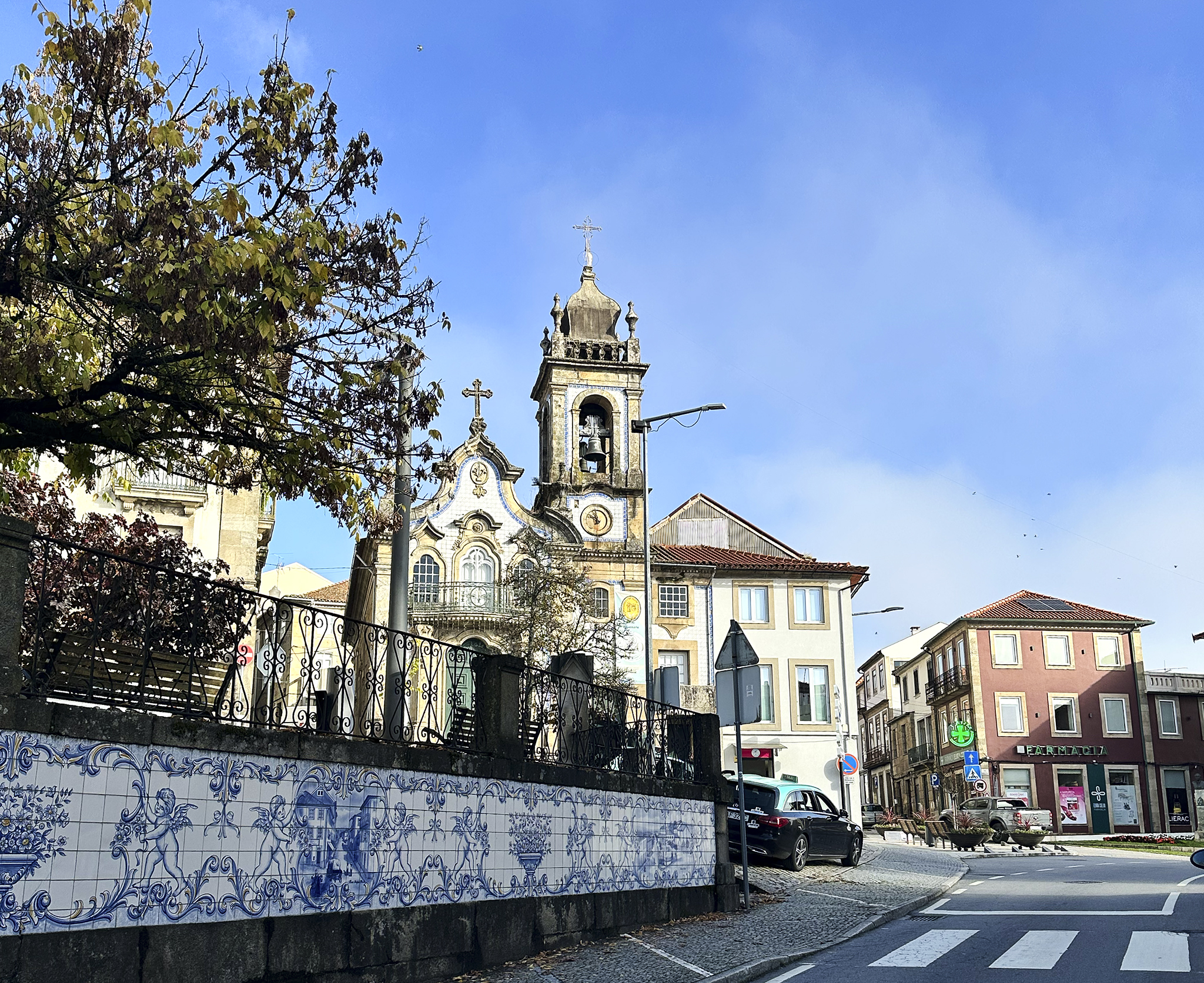
The chessboard-like plaza in the center of town contains the Church of John the Baptist and a modern statue of Gualdim Pais. Pais led the defense during a siege of Tomar. The setting is impressive.
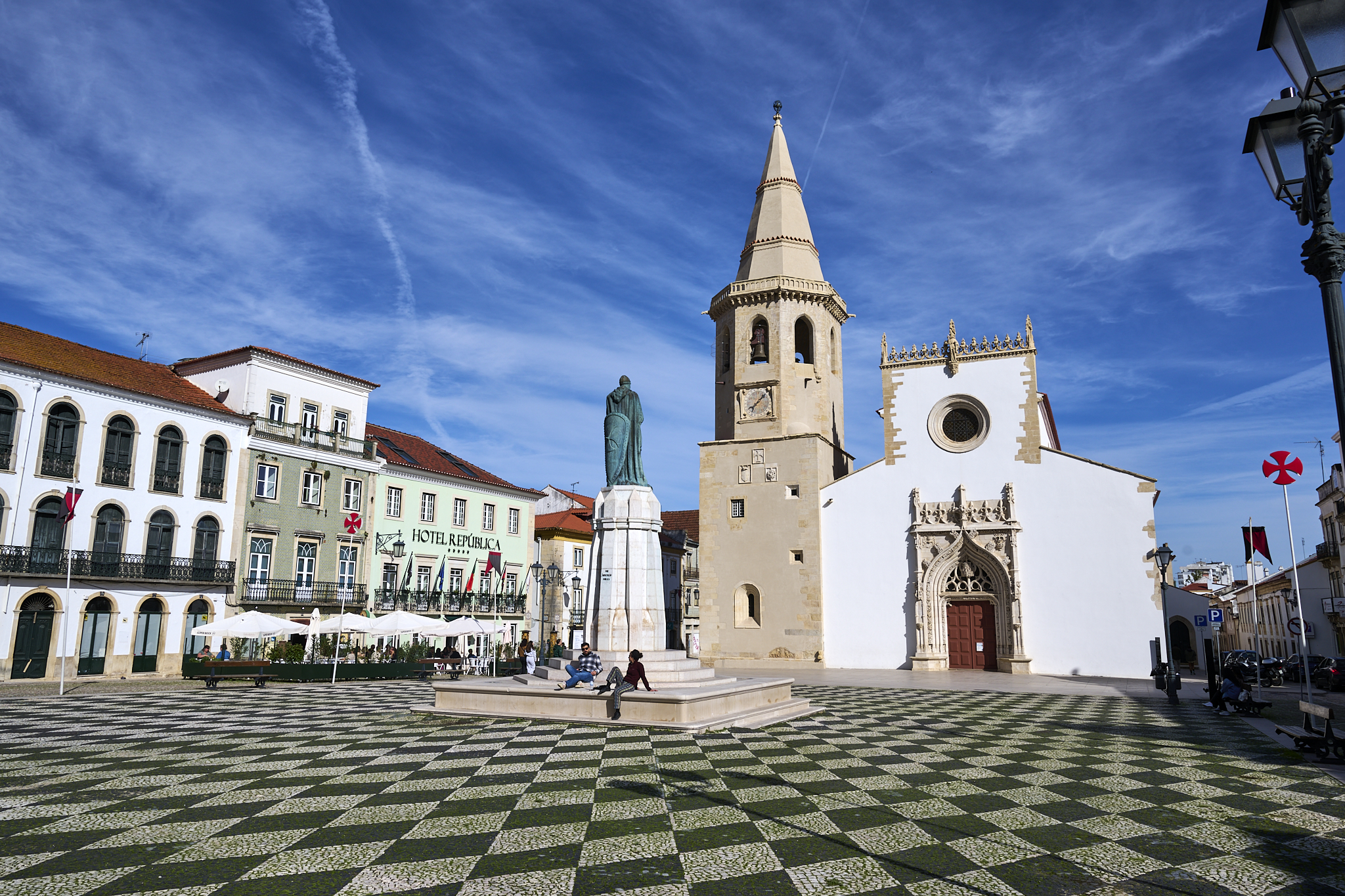
Church of John the Baptist
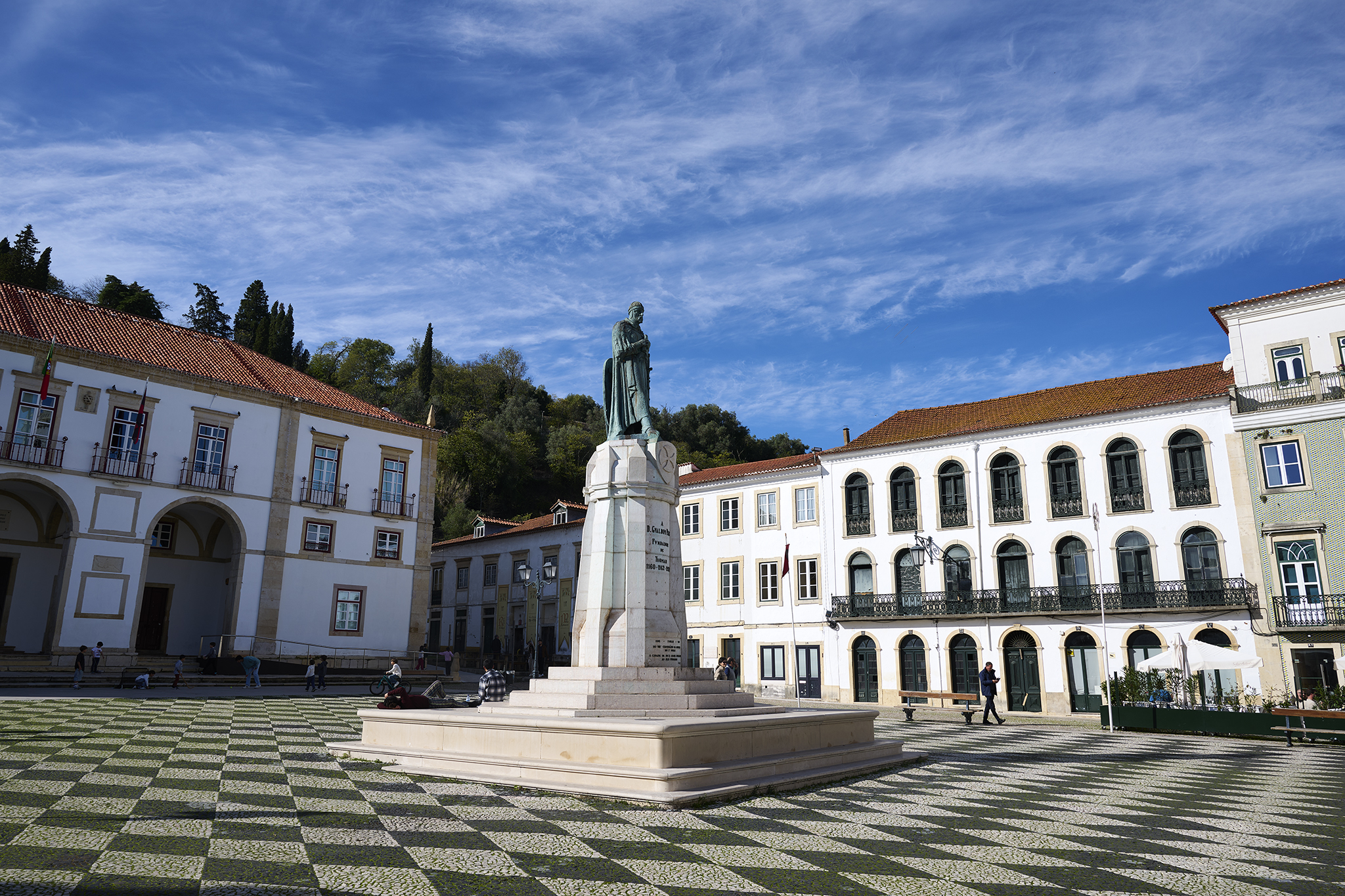
Center Square of Tomar
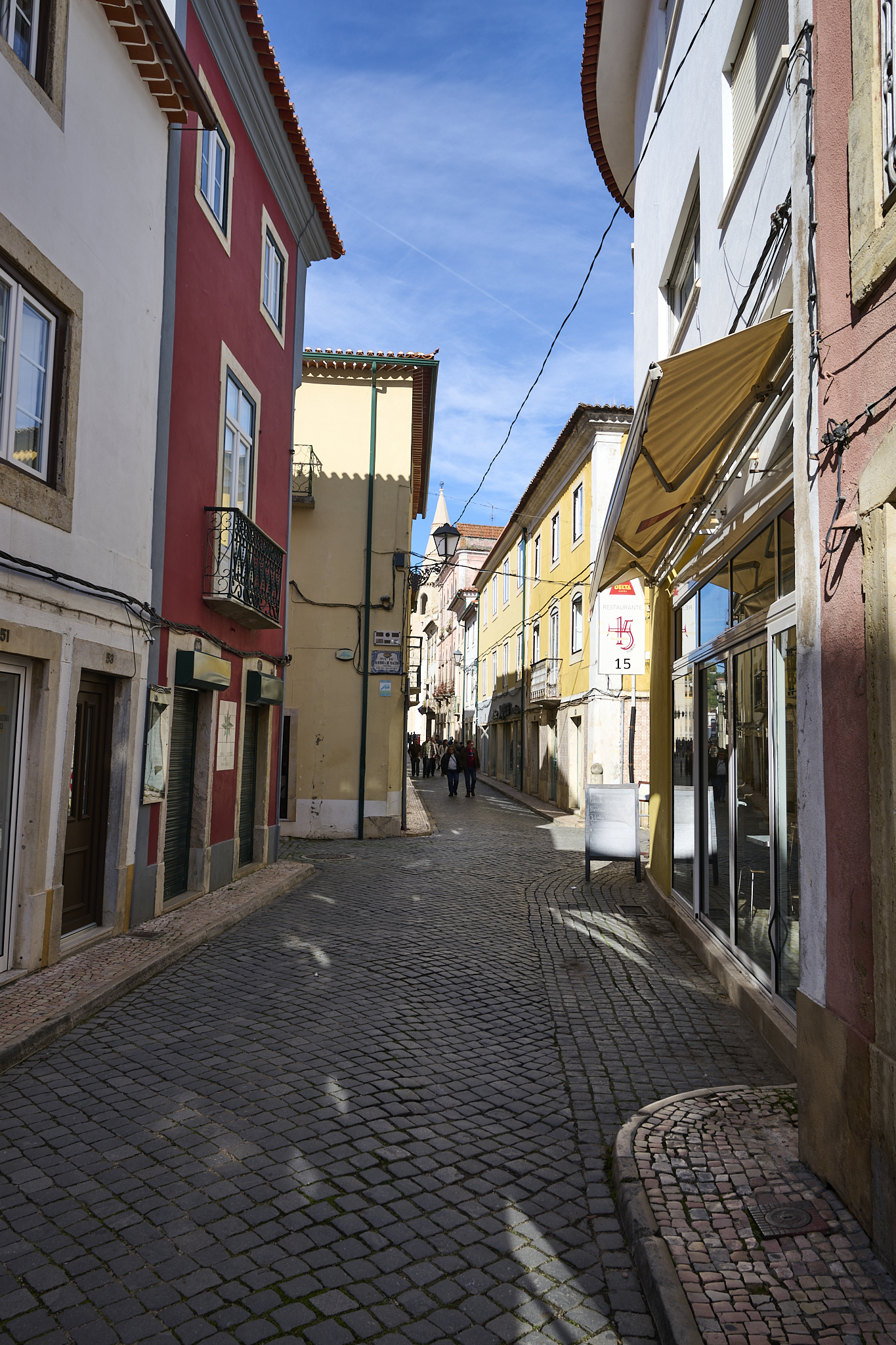
The streets of Tomar
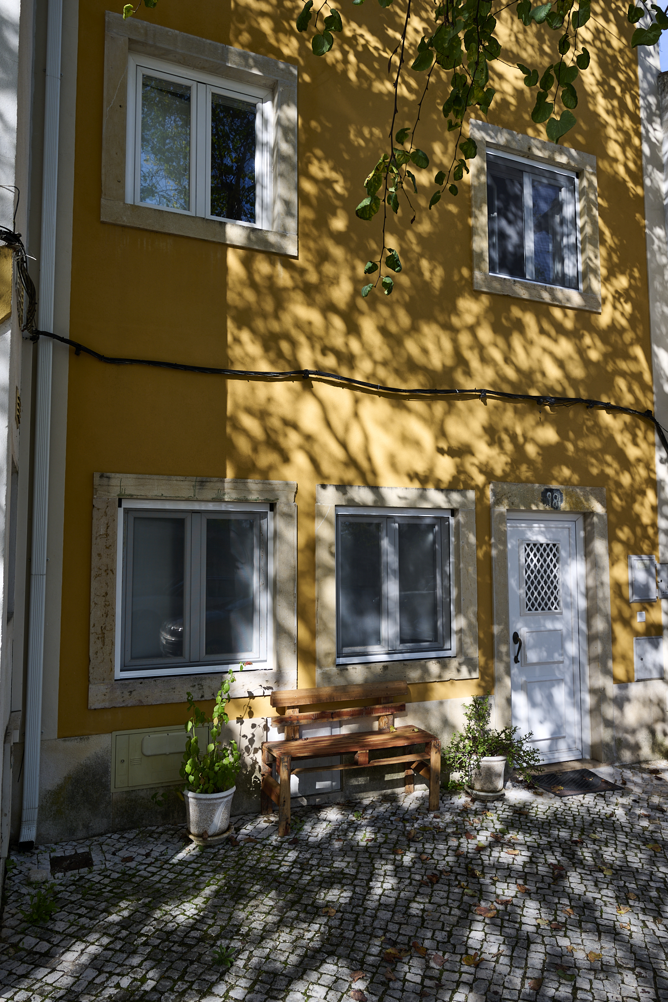
A neighborhood home in Tomar
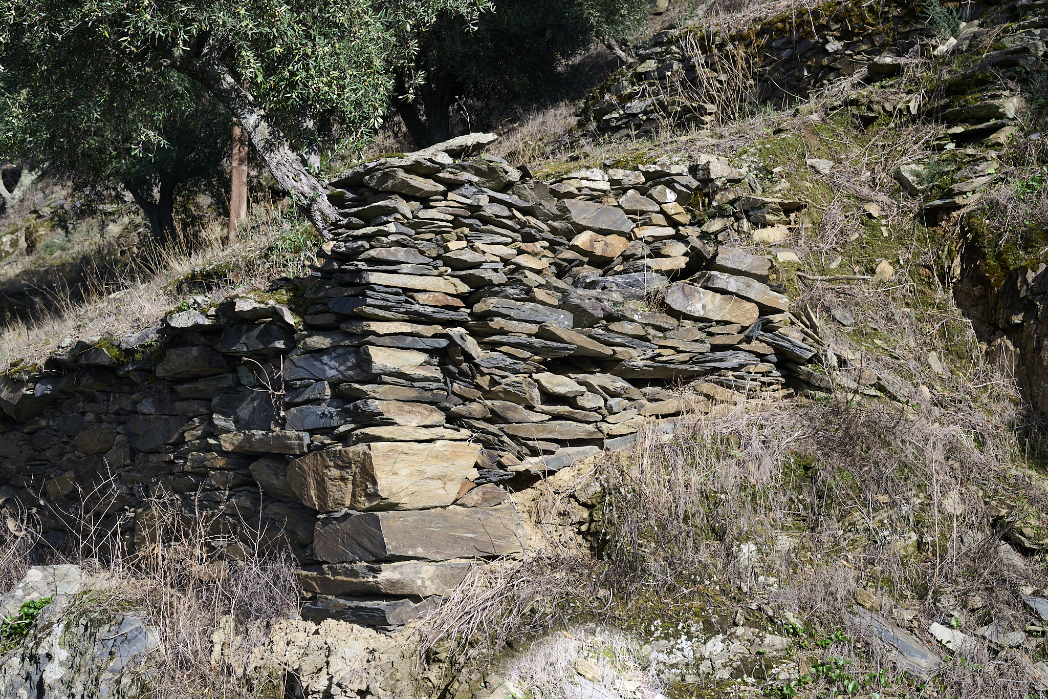
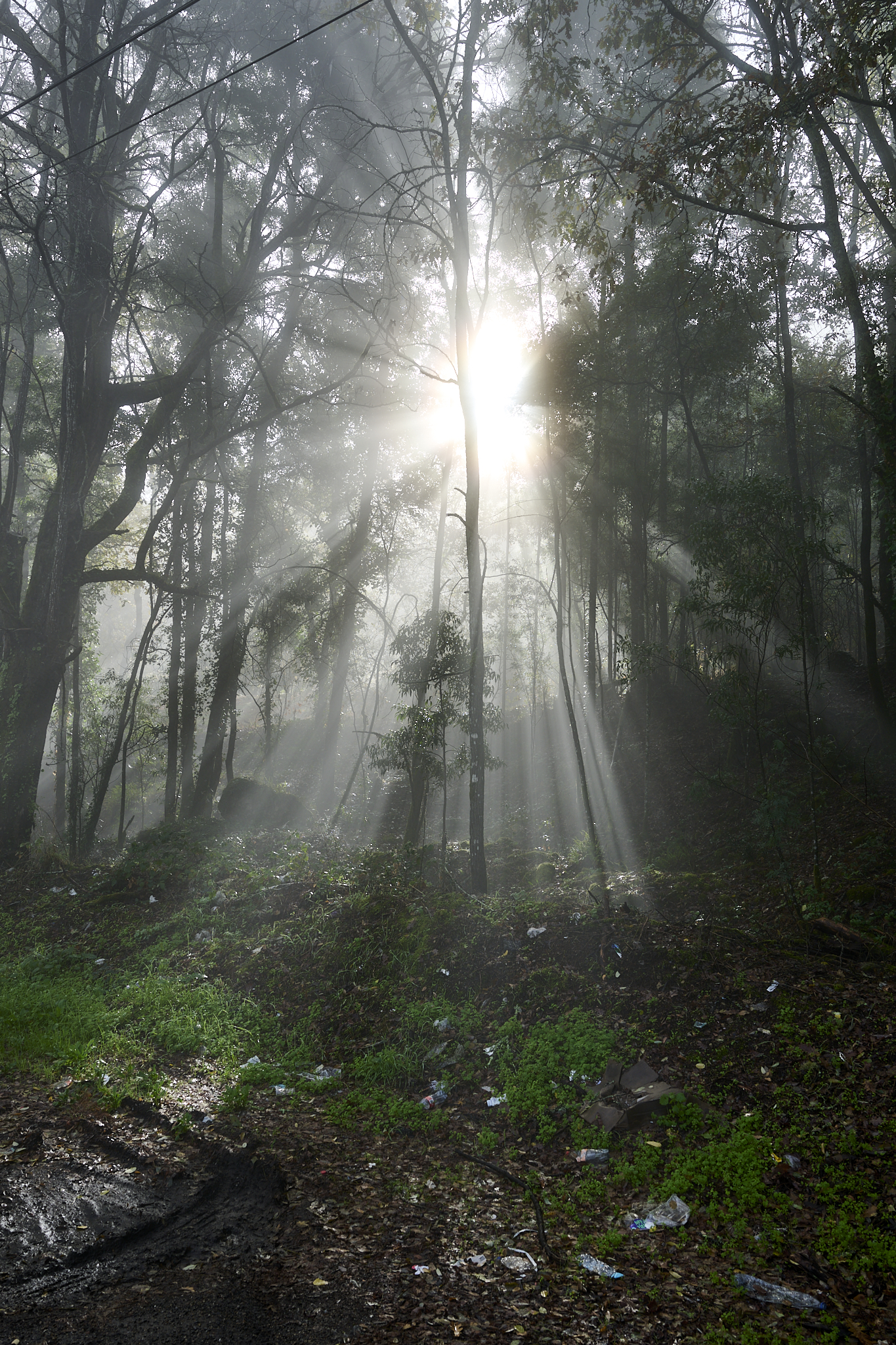
Tomar’s surrounding area is likely the most fertile in Portugal, maybe even Iberia. Its agriculture includes olives, figs, pine, and eucalyptus trees.
All Goes Through Tomar
The castle’s protection was the purpose of Tomar’s creation. The streets of the village provide access to the castle. In 1166, Tomar was the last of the Templar towns created.
Tomar was central to Portugal’s expansion in the 15th century because of Prince Henry the Navigator. Henry was the Grand Master of the Order of Christ. They succeeded the Knights Templar and controlled most things in Portugal, including banking.
Support from the Order of Christ came in many forms. You might require help in seeking the Holy Grail, fighting a religious war, sailing to the end of the earth, acquiring a loan, or depositing money.
Castle of the Knights Templar and Convent of Christ
The Castle of the Knights Templar and Convent of Christ sit high above the town of Tomar.
We climbed to the castle from Tomar via ancient, narrow, and steep paths. The grounds are enormous.

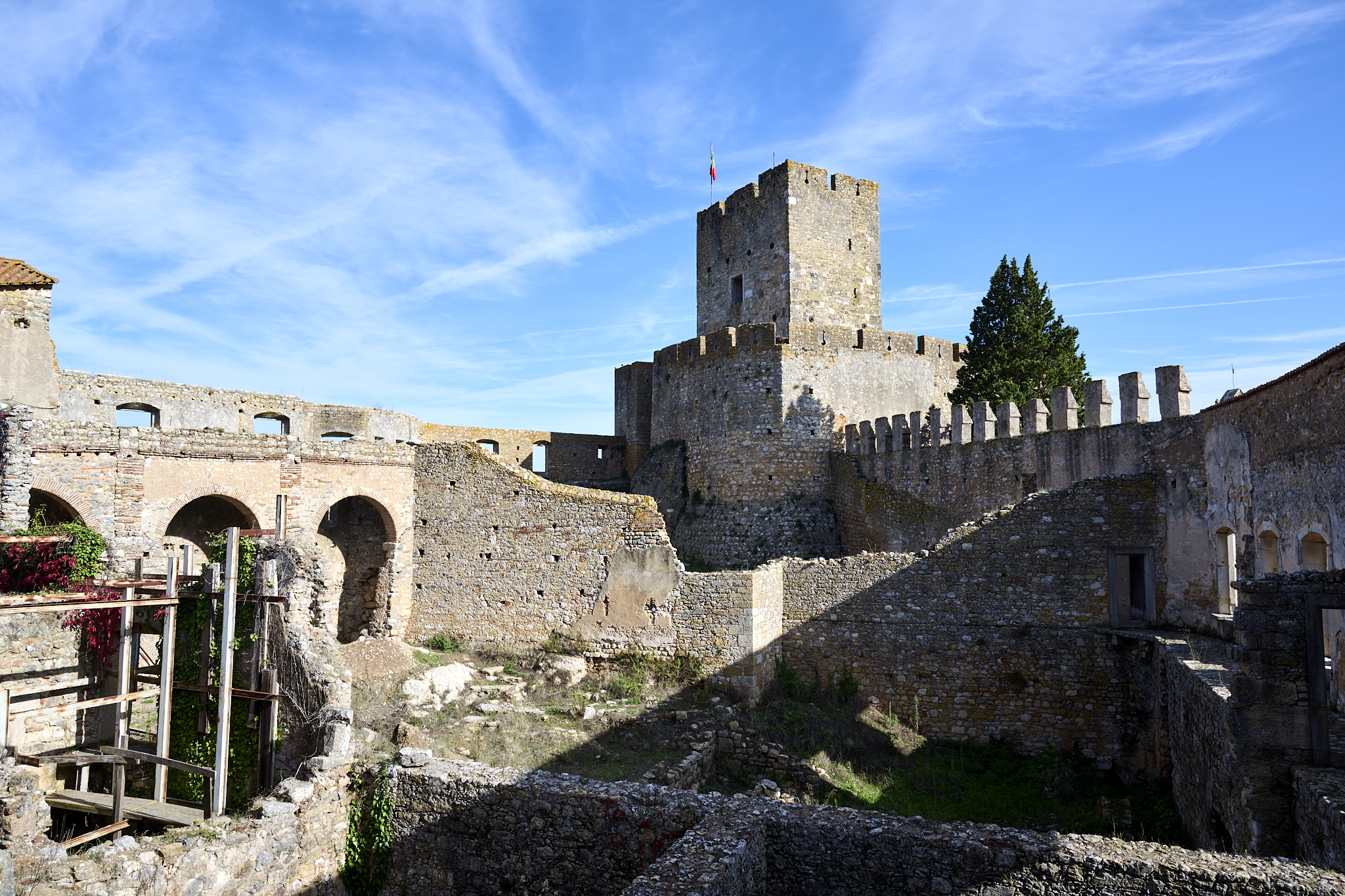
In the late 1100s, the Knights Templar erected the castle and church. The castle has withstood multiple sieges. The Moors were the first to try taking the castle in 1190. Pais turned them back. Napoleon tried in the early 1800s during the Peninsula War.
The area has undergone major changes.
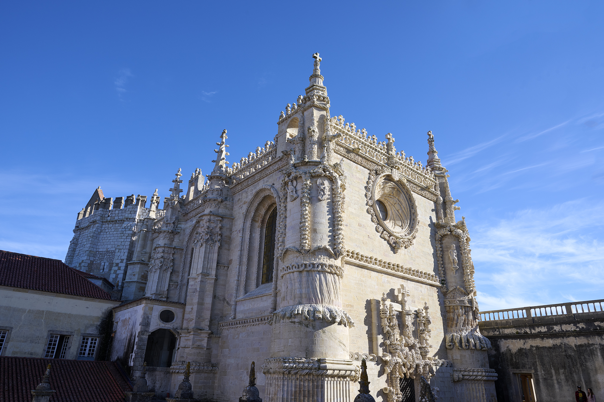
King Denis of Portugal ordered the convent to be built in 1317. The Order of Christ moved into the castle in 1357. They made further changes and additions, including a palace for Henry, and the addition of a nave to the church. King John III of Portugal made significant additions to support the monastery in the 1600s.
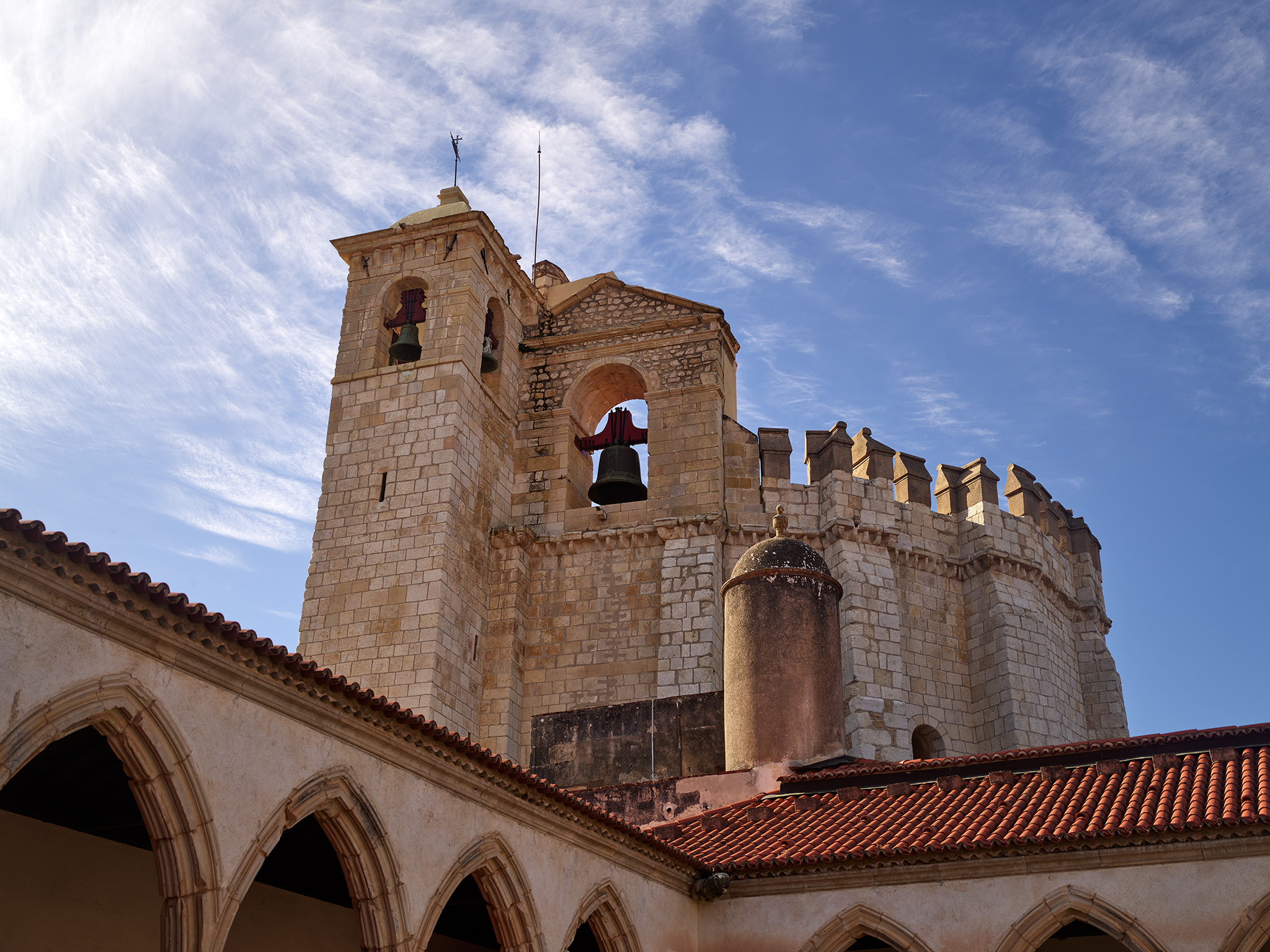
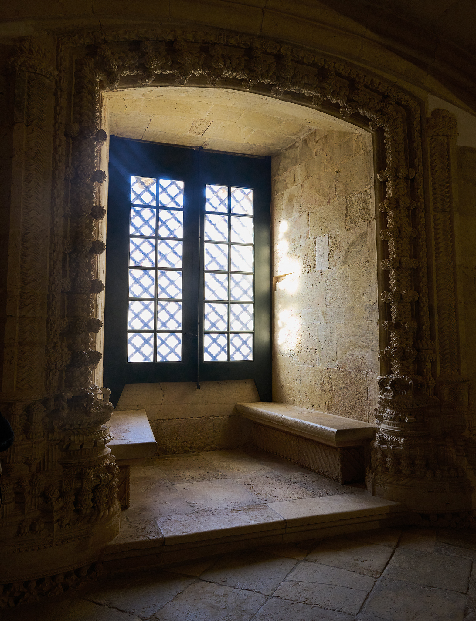
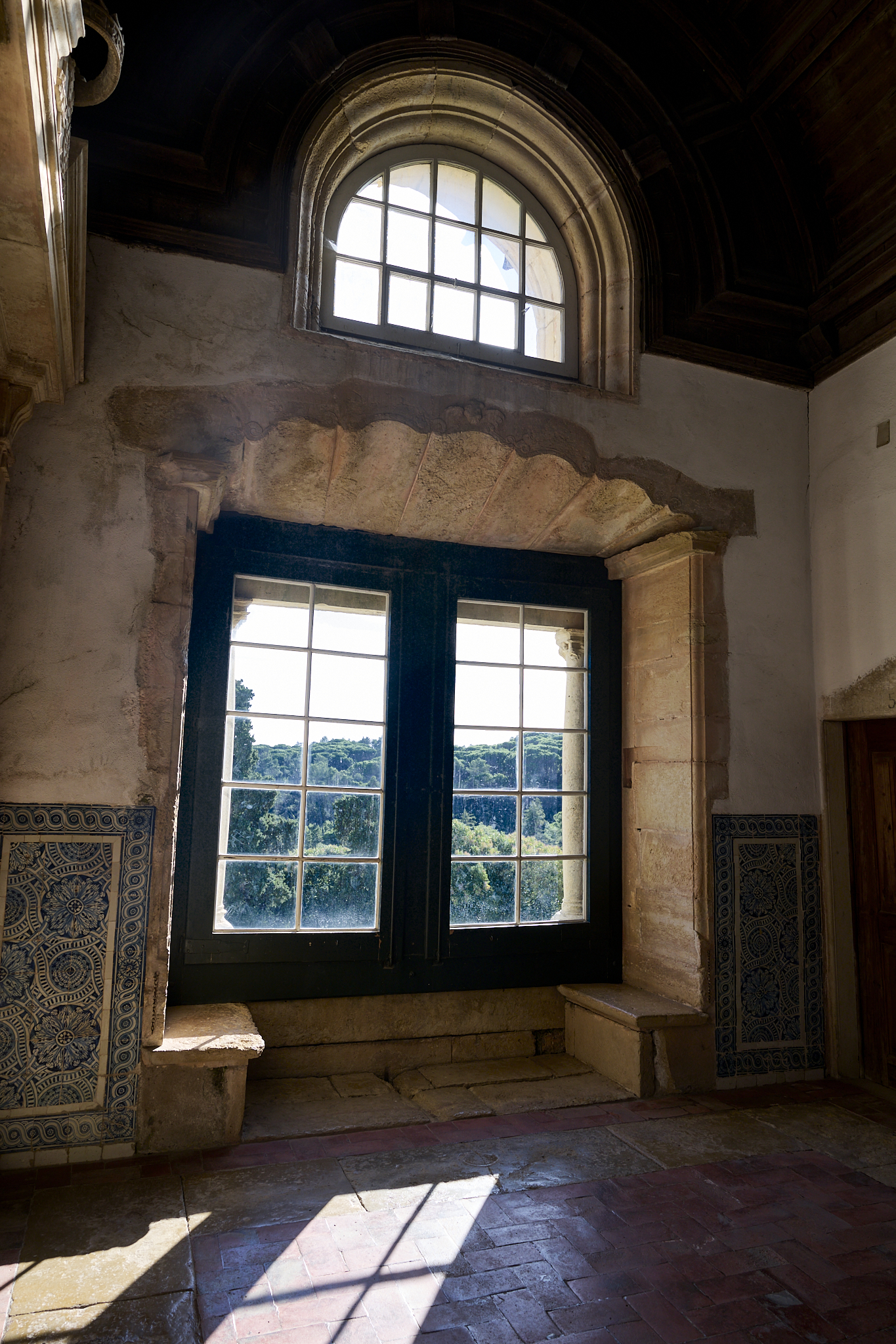
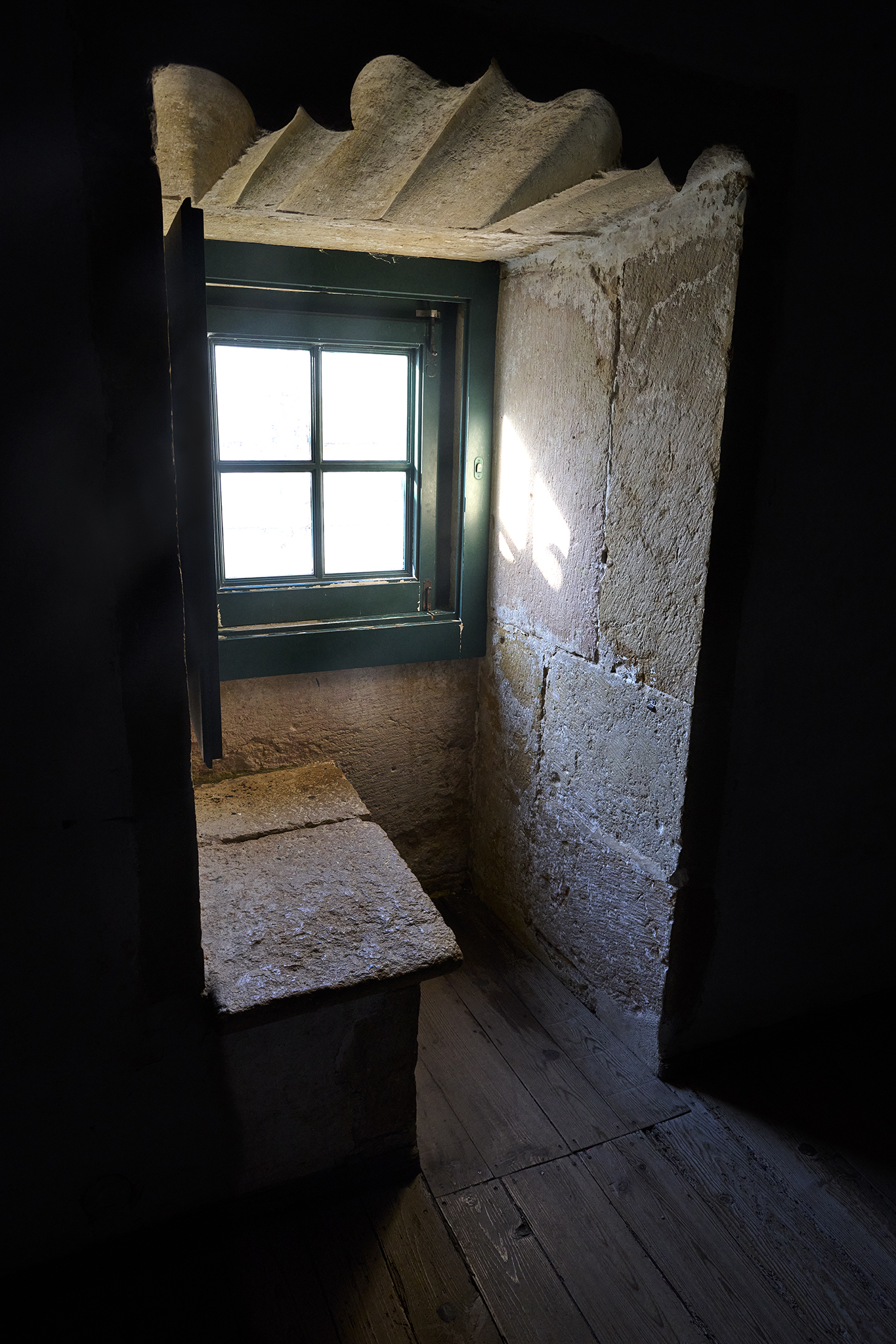
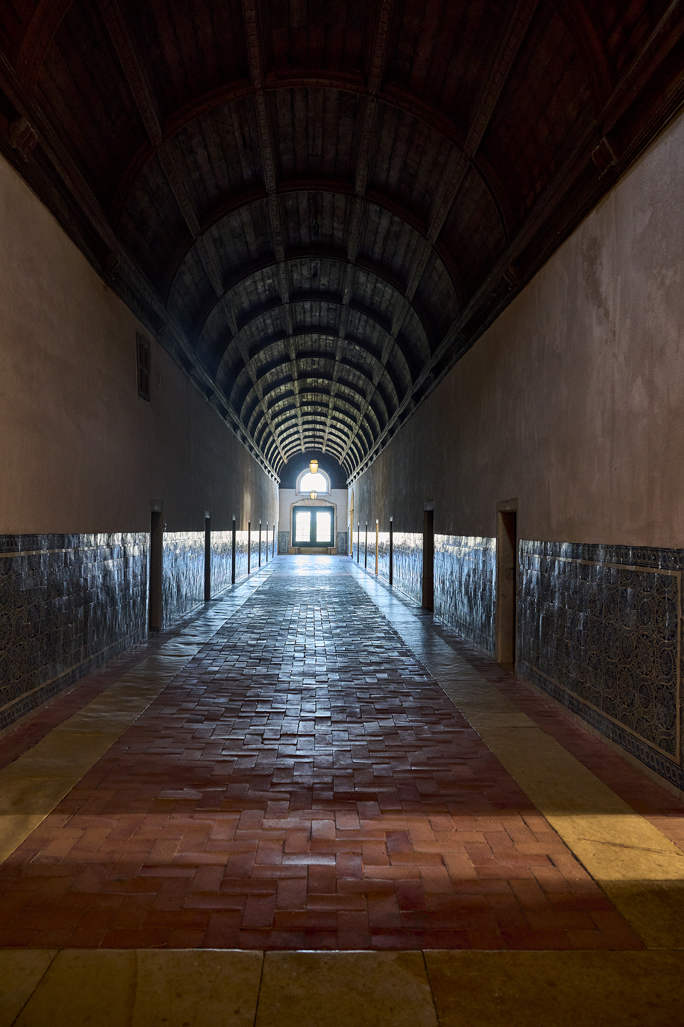
Different architectural styles are apparent while touring the castle, church and convent. Exterior walls and towers are akin to those constructed in the north of France and Britain. Gothic is the style of the nave. Designers employed the Manueline style for the church.
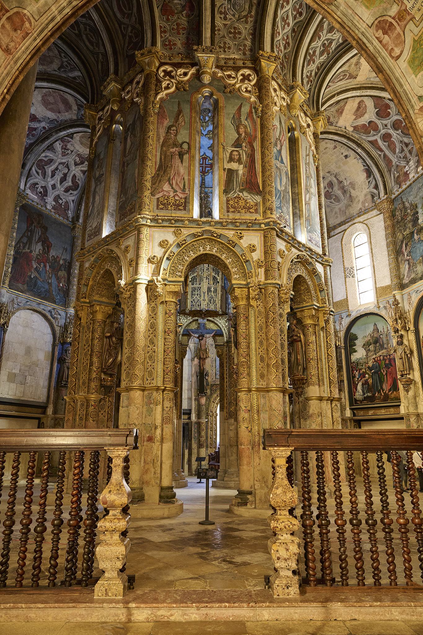
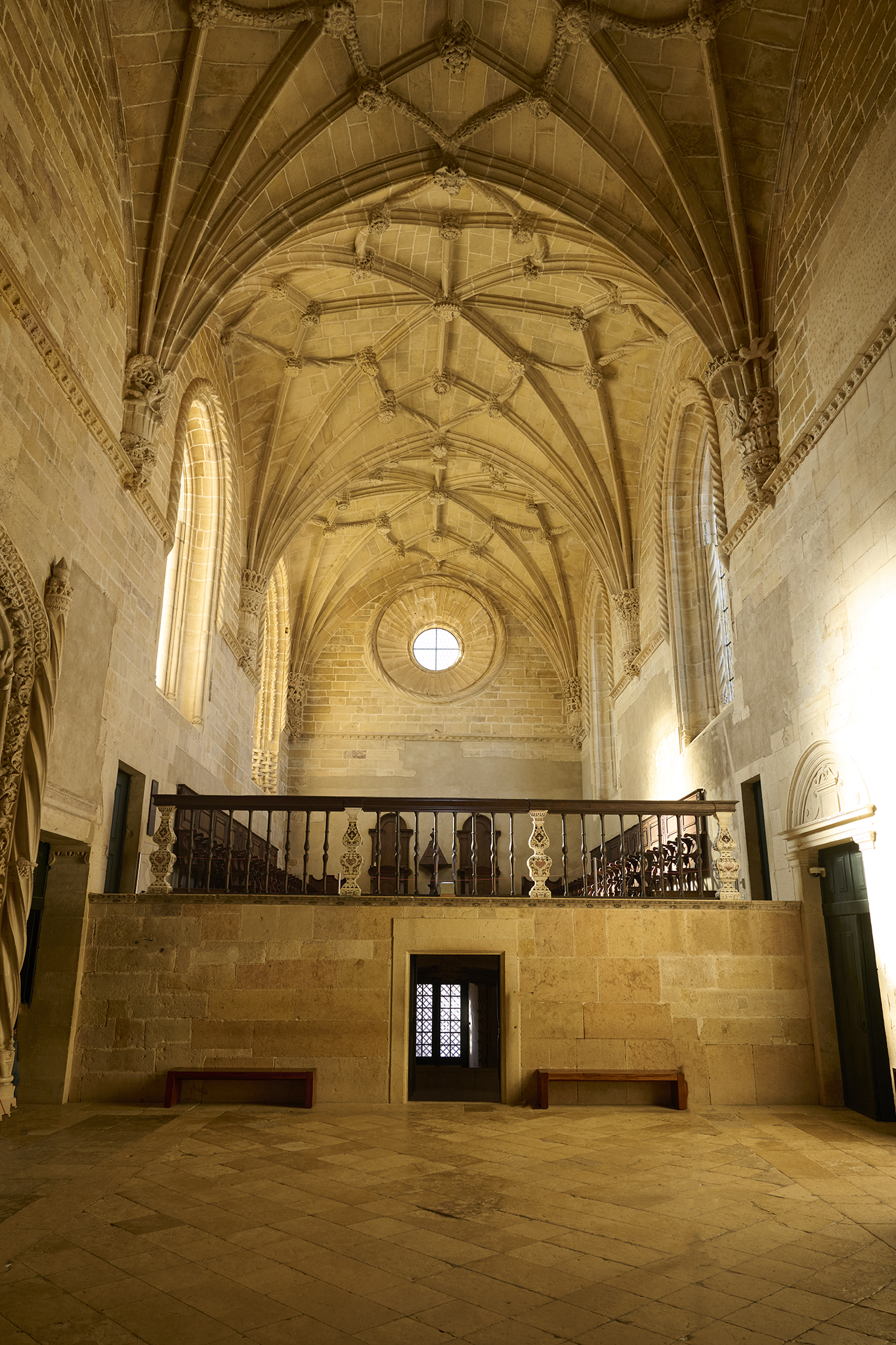
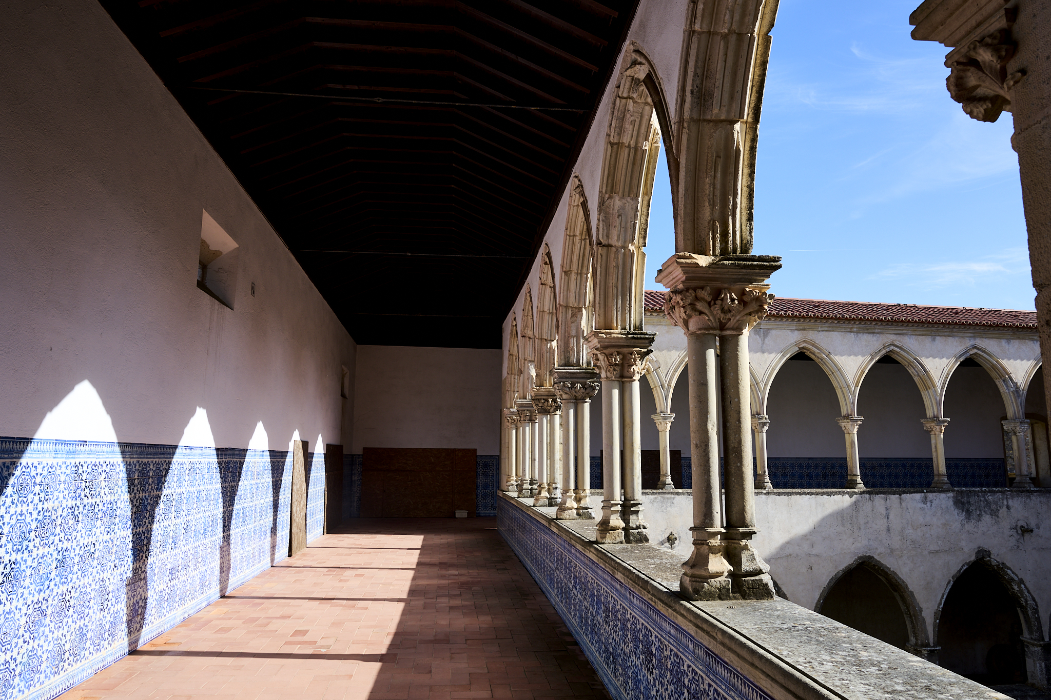
Simple and austere best describe the convent and monastery. Darkness, shadow, bright sunshine streaking through the windows was a fascinating aspect of the monastery.
A Complicated History
Tomar, the Knights Templar, the Order of Christ, and the castle and convent have a long, extraordinary, and complicated history. All of it is why I desired a visit. Below are resources to learn more.
Travel writer Rick Steve explains Tomar [here].
Some excellent background about the Knights Templar is located [here].
A detailed description of the Order of Christ’s history is [here].
The Visit
On this trip, I would have spent more time in this area and less elsewhere. For instance, I could see myself spending less time in Porto or Lisbon, and more time in Tomar.
*** Jeff’s Thought’s and Other Worthless Trivia ***
All of the text, and images appearing in this Post are Copyright – Jeffrey H. Lubeck & MESH Art LLC – all rights reserved.