Do you have a place, or places, that you claim as sanctuaries? Lucky for me, I feel I have many.
The Waimea River and the Kawaiʻele Waterbird Sanctuary are a pair of them. You can find both on the island of Kauai, which is part of Hawaii in the US. Each is teeming with wildlife.
Recently, I captured some images while walking at both locations.
Nene at Kawaiʻele
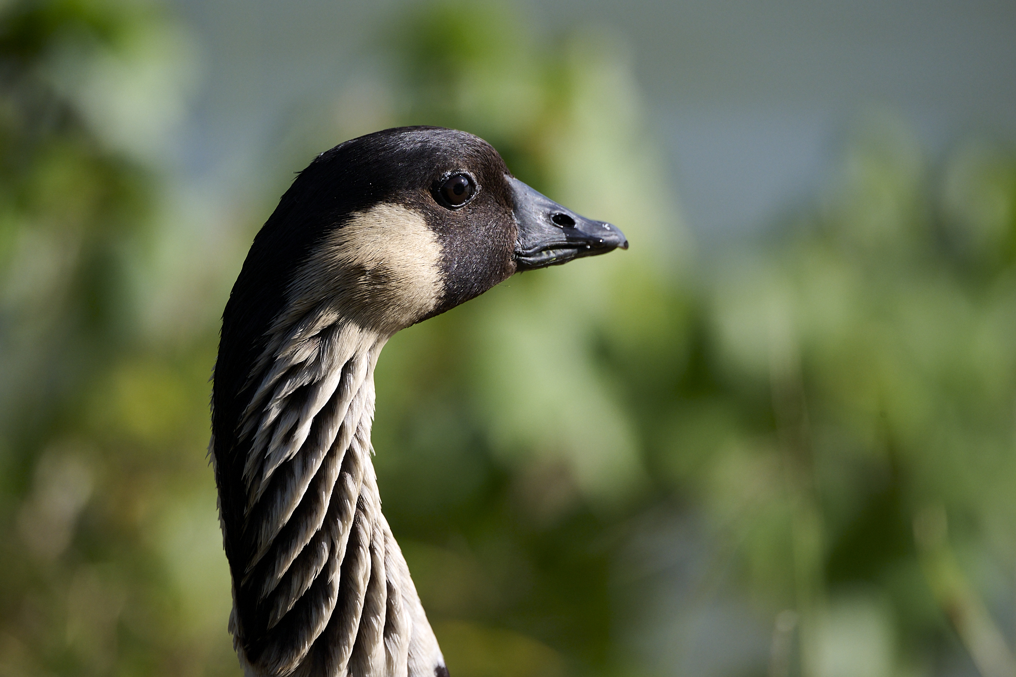
The two images (below) are of the State’s bird, The Nene. It is a Hawaiian goose. Its population on the islands was about 28,000 when Europeans first visited in the 1700s. In the 1950s, 50 Birds remained alive. Headed by Peter Scott, Naturalists from the WTT Slimbridge nature reserve in England worked to save, successfully breed in captivity, and reintroduce the birds. In 2026, there are about 3,862 Nene alive in Hawaii. It is the rarest goose in the world. The majority treat the area near my house as their home. Occasionally, they will sit in the front yard.
Between November and January, the Nene breeds. The female produces 3 to 5 eggs. She incubates them for 29 to 32 days. While walking on the trail in the Kawaiʻele Waterbird Sanctuary, I spotted a female near what appears to be her nest and a male standing guard.
My 800mm lens allows me to take handheld close-up shots of birds from a safe distance. It’s important to remember that birds can become very aggressive when they feel threatened.
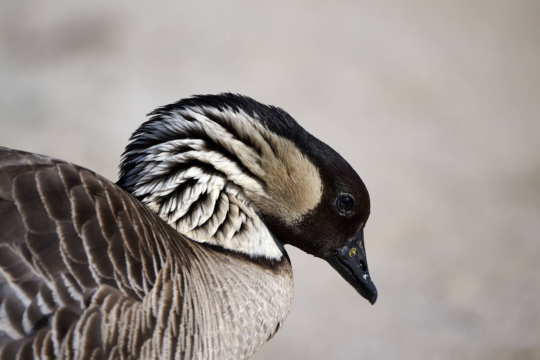
A female Nene at the Kawaiʻele Waterbird Sanctuary
Dad acts as Sentry while Mom protects her eggs.
Monarchs on the Waimea River
Like the Nene, the Monarch butterfly faces the threat of extinction. Experts believe that populations on the U.S. mainland have decreased by 95% over the past ten years. However, the Monarch butterfly faces a distinct reality on Kauai. It is thriving. The main reasons are that these Monarchs don’t migrate and have kept most of their habitat.
You’ll see two images (below) of a Monarch butterfly from my front yard. It is a short distance from the Waimea River’s confluence with the Pacific Ocean. Crown plants are widespread in the area, and Monarch butterflies feed mainly on their flowers.
The first photo displays a butterfly approaching a Crown Plant flower. The second image is of two Monarchs mating.
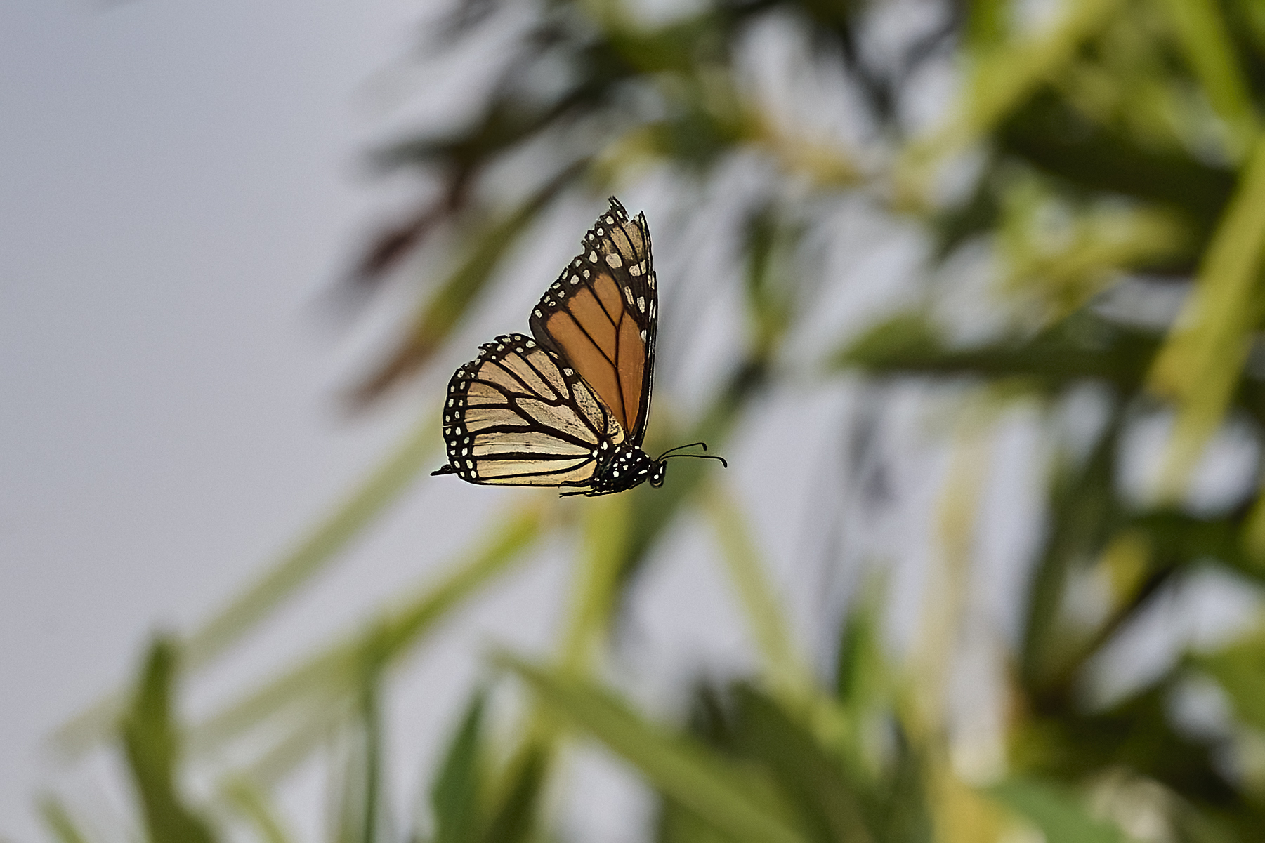
On Approach
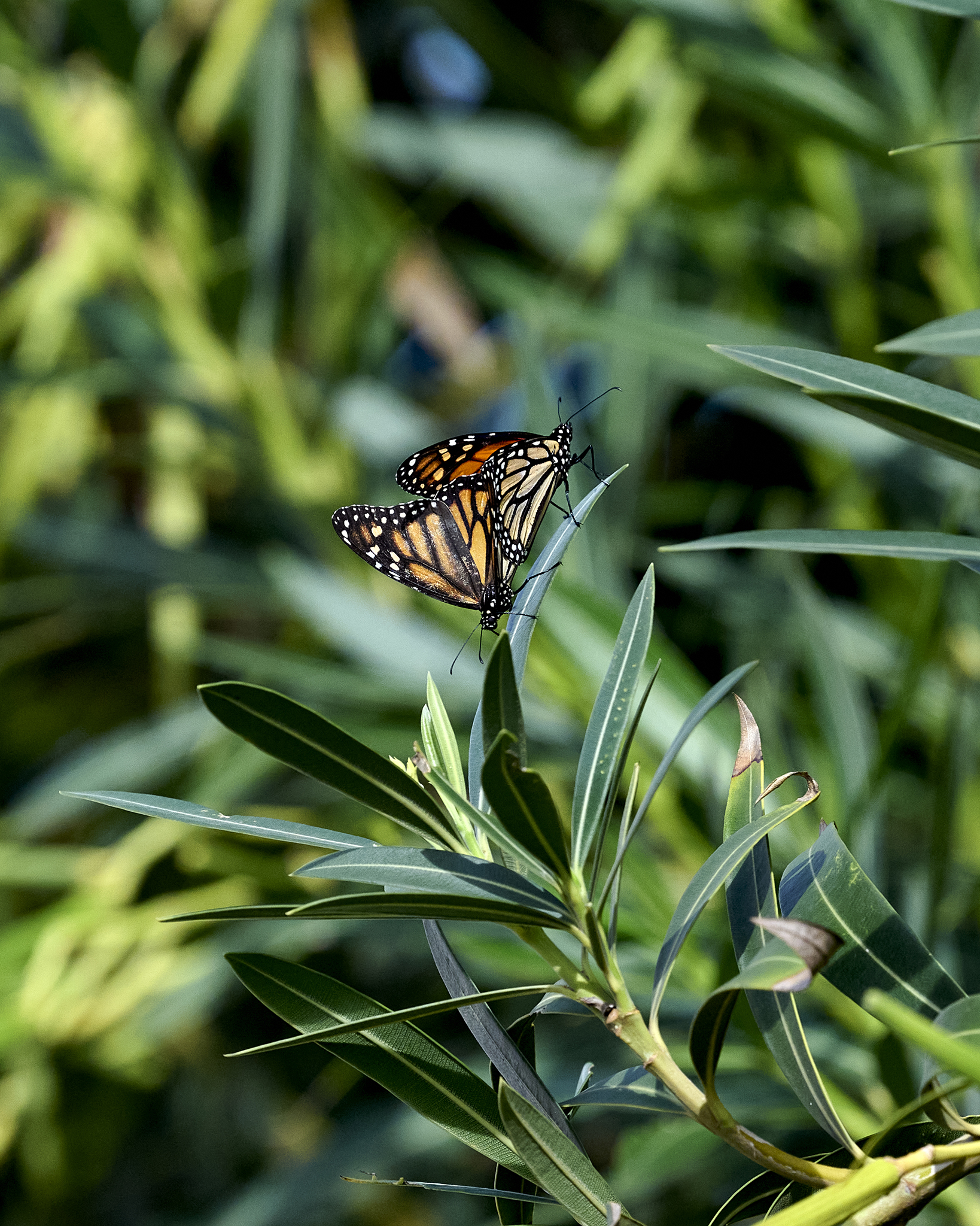
So Nice to Meet You
Birds Along the Waimea River
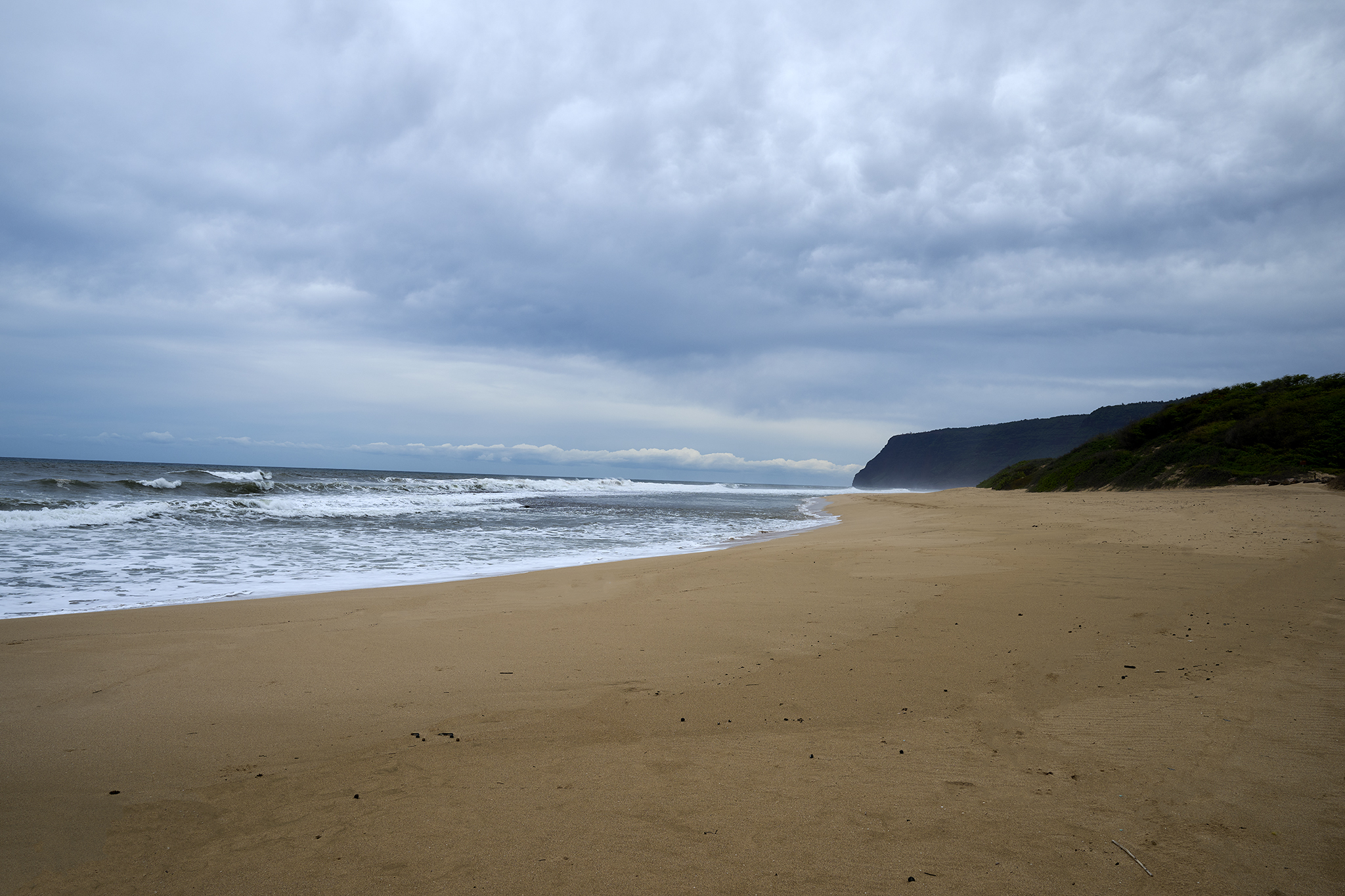
For those who enjoy walking or running, the initial two miles of the Waimea River, starting at the ocean’s edge, are a genuine pleasure. Different times of day lend different moods to the river. Precipitation in the mountains can cause significant fluctuations in the water level.
Early to mid-morning and late afternoon create the best environment for birdwatching. I have been able to identity and verify 32 different species of birds.
I recently photographed two of my favorite birds, the Cattle Egret and the Saffron Finch, both from a distance and in close-up.
Cattle Egret: Savior and Pest?
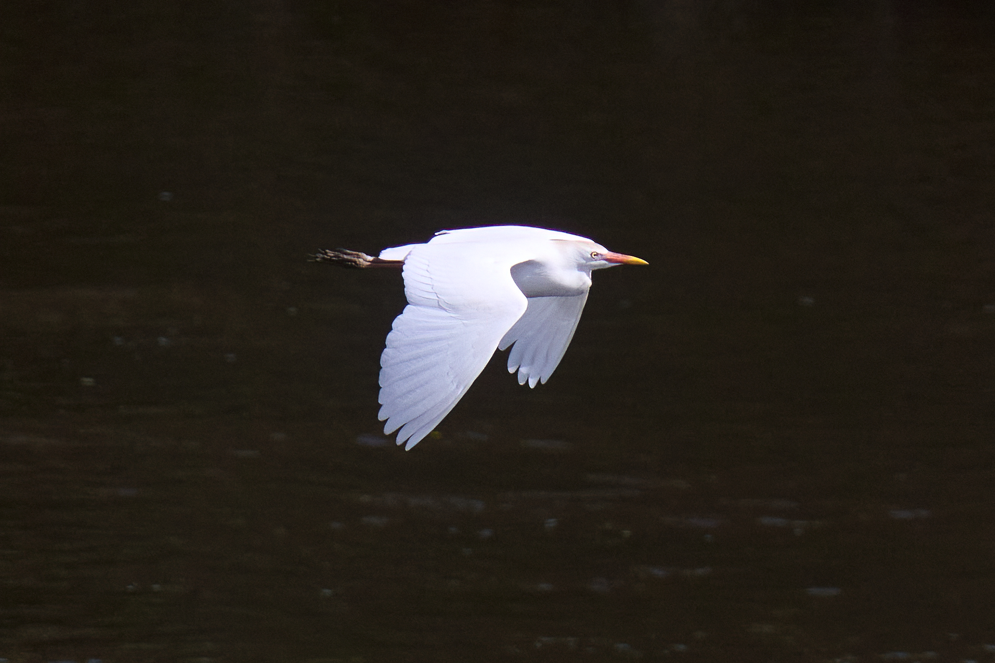
With a 20-inch length and a considerable wingspan, the Cattle Egret is lovely to watch in the air. A couple of previous Posts by me about the bird are located [here] and [here]. People brought the bird to Hawaii to reduce the negative impact of insects on cattle. Sadly, Egrets prey on the young of native birds, like the Hawaiian Stilt, as discovered by researchers. I recently captured the images displayed below during the late morning.
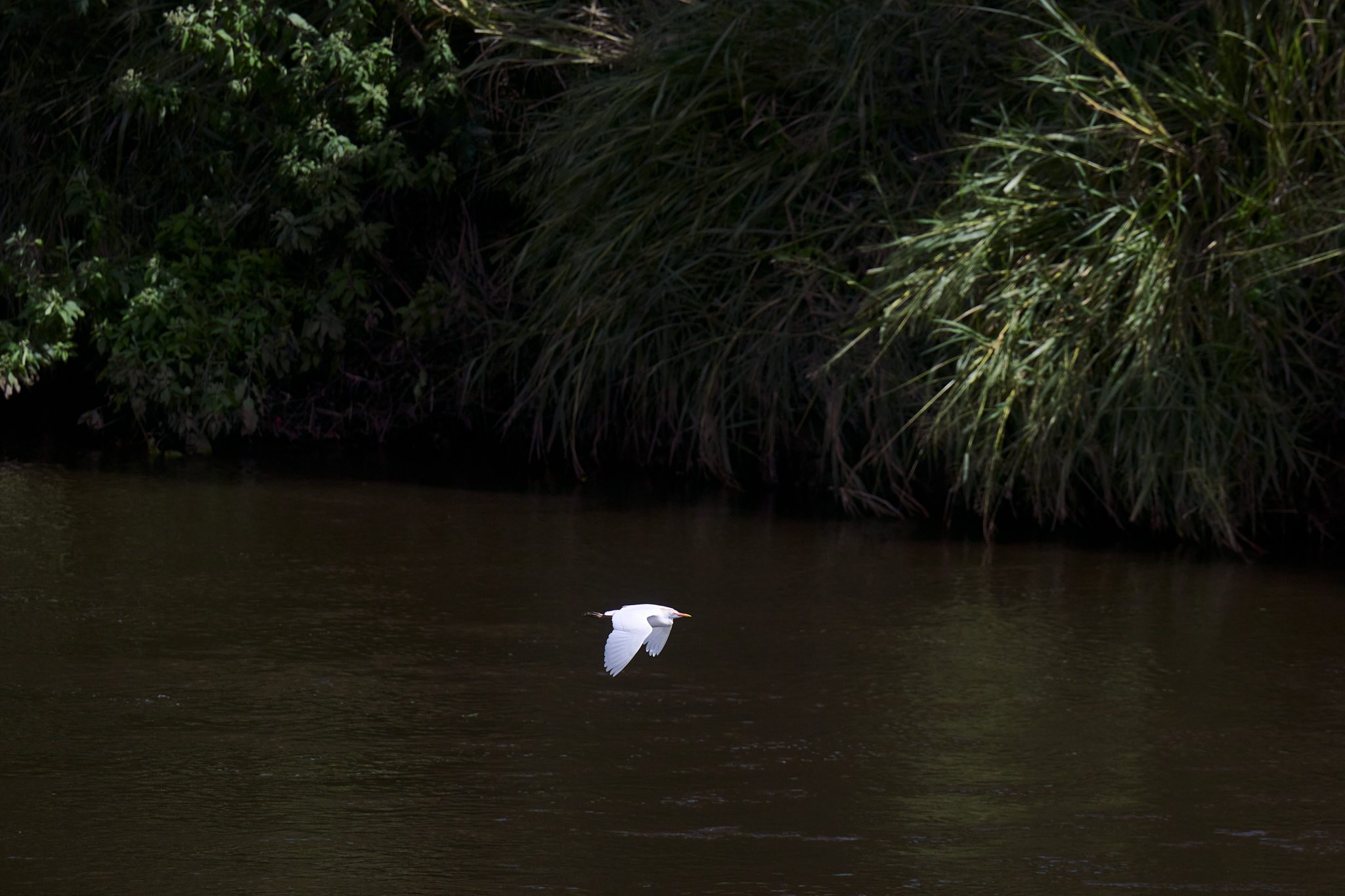
Cattle Egret at a distance.
Cattle Egret Up Close
Saffron Finch: Tiny, Fast, and Difficult to Photograph
With its vibrant coloration, the Saffron Finch is a truly beautiful bird. The bird, native to South America, was introduced to Kauai in 1965. It inhabits the tall grass along the Waimea River. It moves in small groups and is quick to leave its spot. The bird is rather tough to photograph. I recently captured the images displayed below during the late morning.
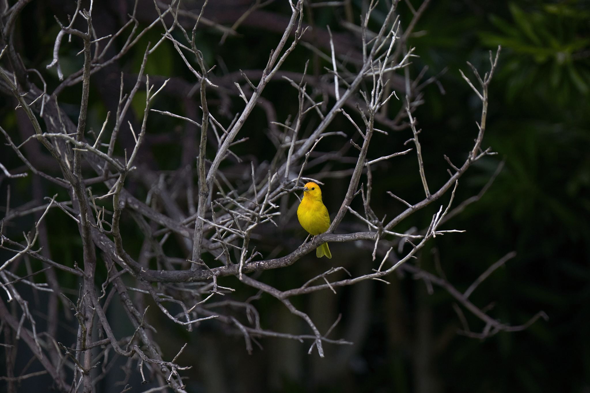
Saffron Finch in tree cover
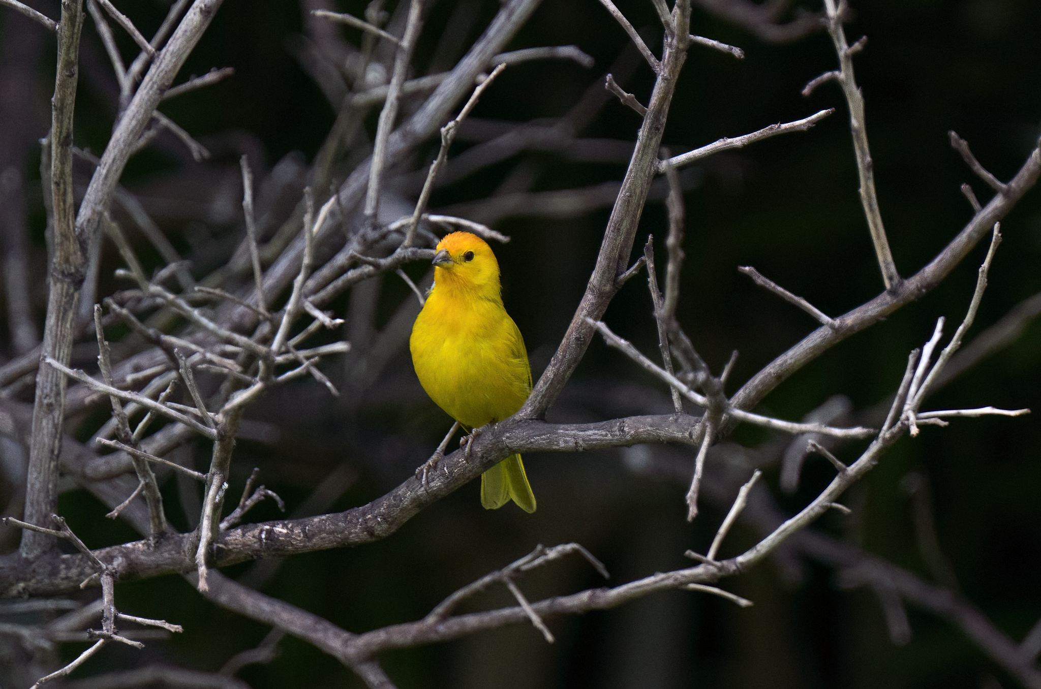
Saffron Finch a Closer Look
Kauai’s ʻaukuʻu at Kawaiʻele
Also referred to as a Black Crowned Night Heron, the ʻaukuʻu is indigenous to Hawaii. At about 2 feet in height, it is a handsome creature. The bird in the image spent a significant portion of a late afternoon searching for its next meal. Often, the meal consists of shellfish, fish, frogs, mice, or insects.
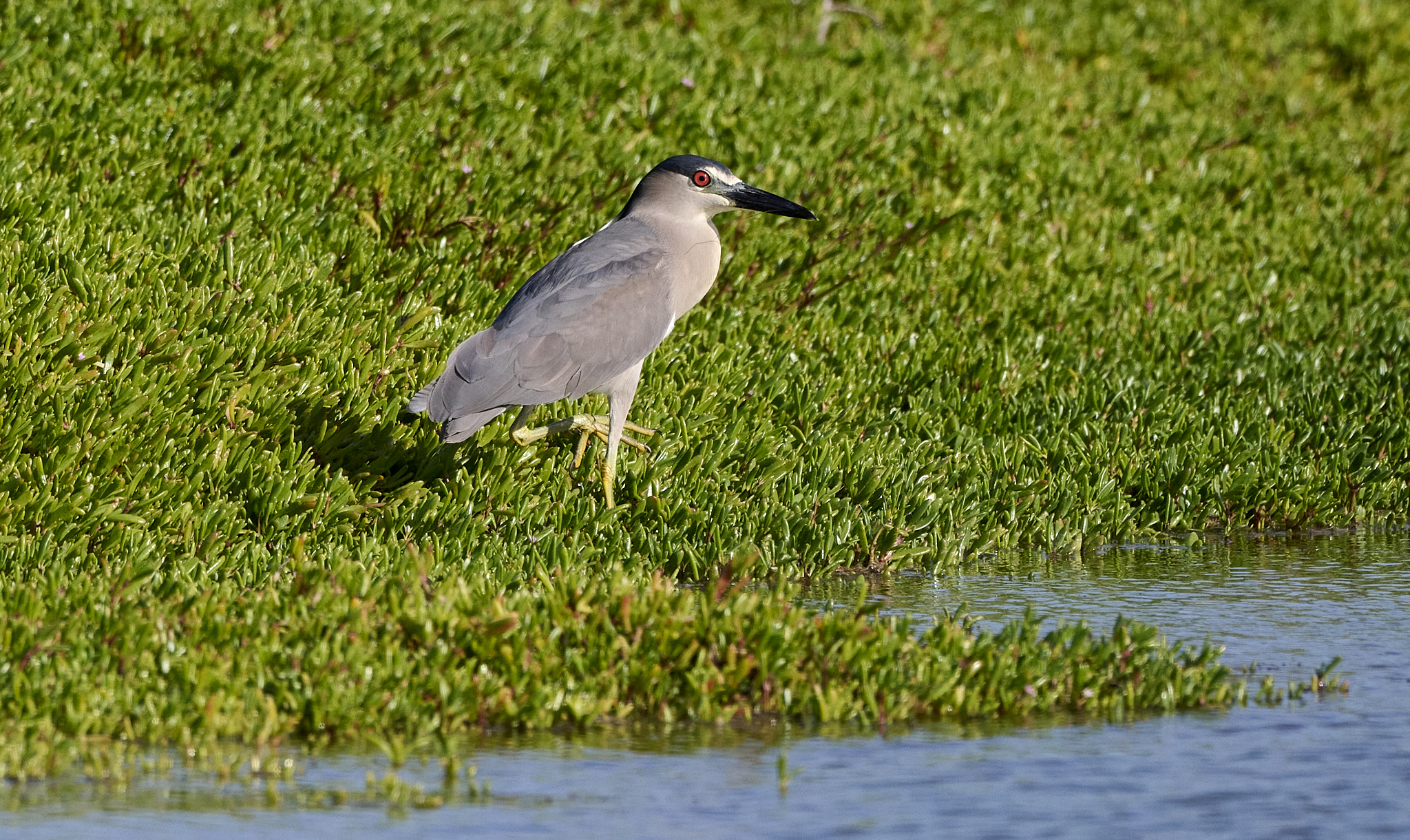
ʻaukuʻu looking for a meal.
A Chance Encounter
One implication of precipitation returning to normal levels on Kauai would be that plants and flowers are healthy and growing.
Nikon has released a firmware upgrade for its Z9 camera. One upgraded feature supposedly enhances focus and object recognition (people, birds, animals, etc.). I captured the image below using the upgraded Z9 and its 800 mm lens. Apart from manual shooting, I employed autofocus.
Looks sharp to me