Kohua Ridge is located in the Waimea Canyon on the Island of Kauai in the United States of America. The trail out its ridgeline is lightly traveled. This is a good thing. The situation offers the ability to observe and experience spectacular aspects of the Grand Canyon of the Pacific. Few trails can make that claim.
The Kohua Ridge trail is an out and back 5.2 mile effort. It provides multiple up and down sections- encompassing 1,500 vertical feet of gain. The trail is considered of moderate difficulty.
The level of effort to reach the trailhead of the Kohua Ridge is slightly harder than the trip on the trail itself.
The trail provides the ability to experience different climate zones, vegetation, and topography in one trip.
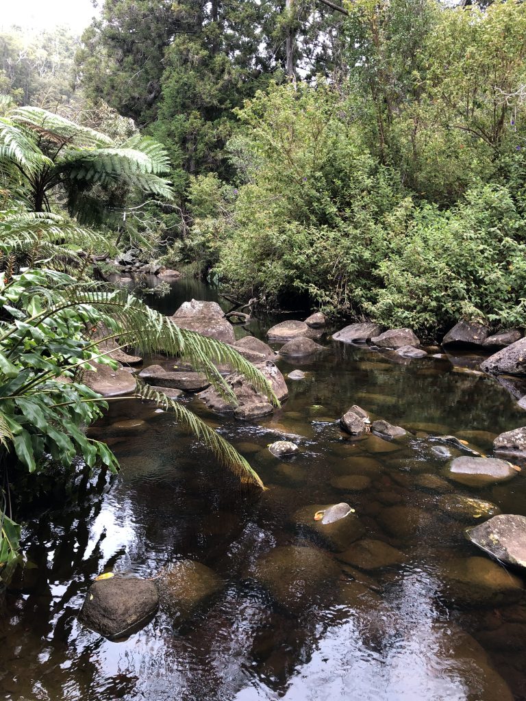
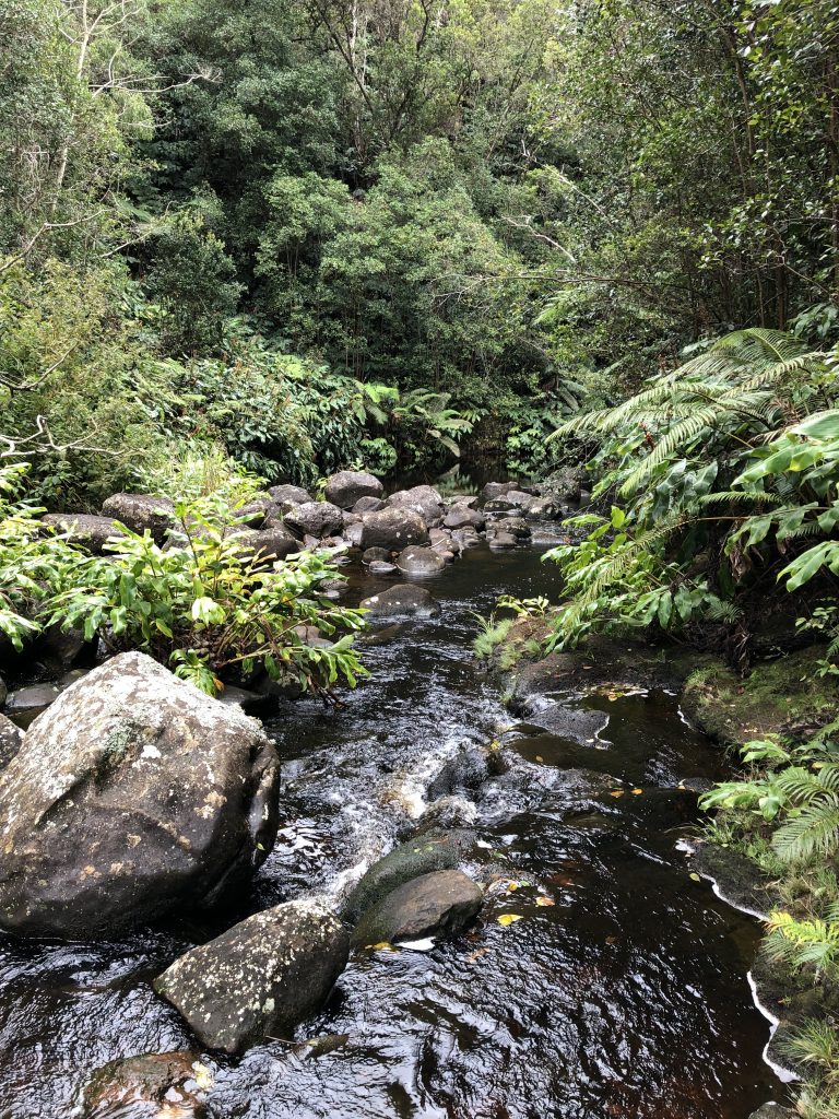
You can experience wet sub-tropical conditions, which includes a with a stream crossing. This occurs right at the start (and end).
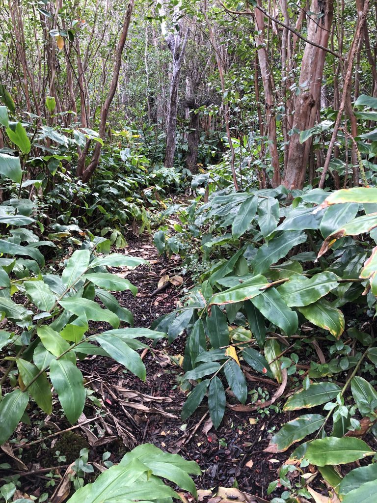
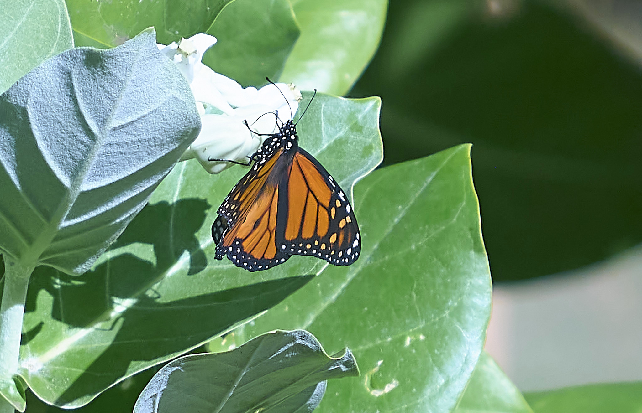
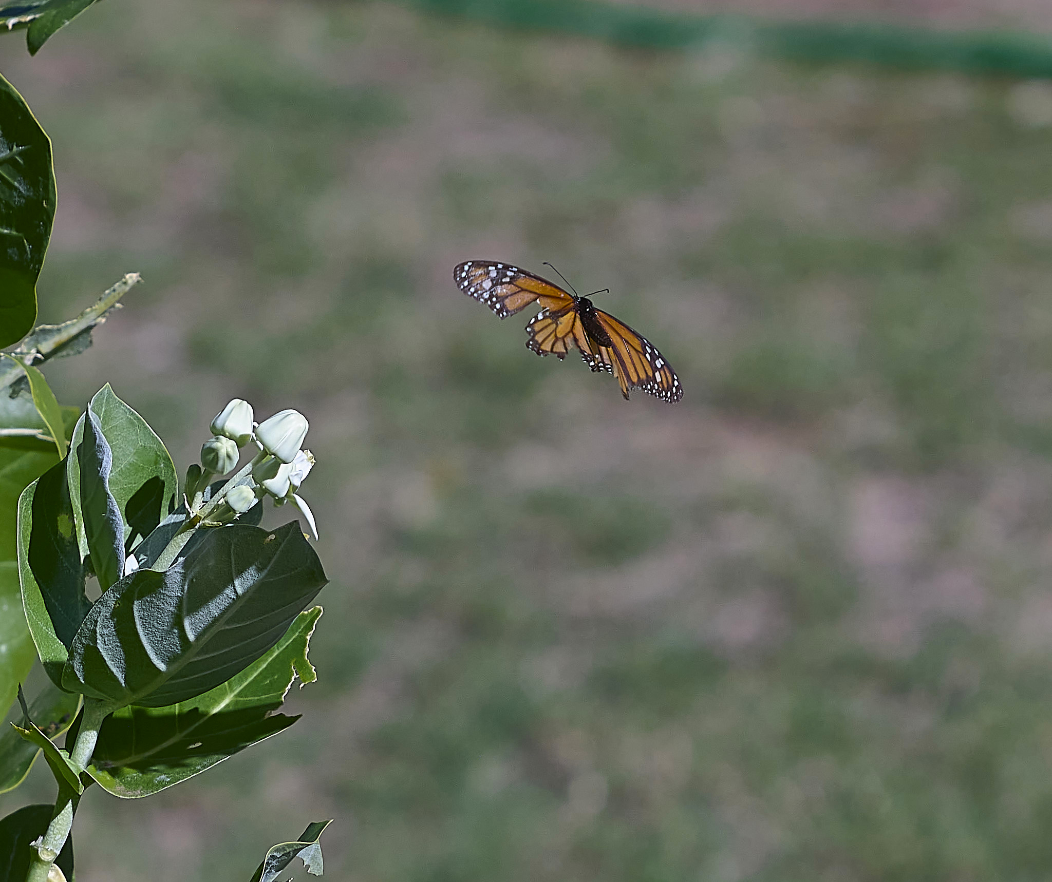
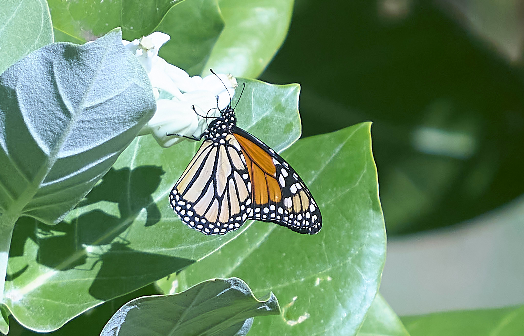
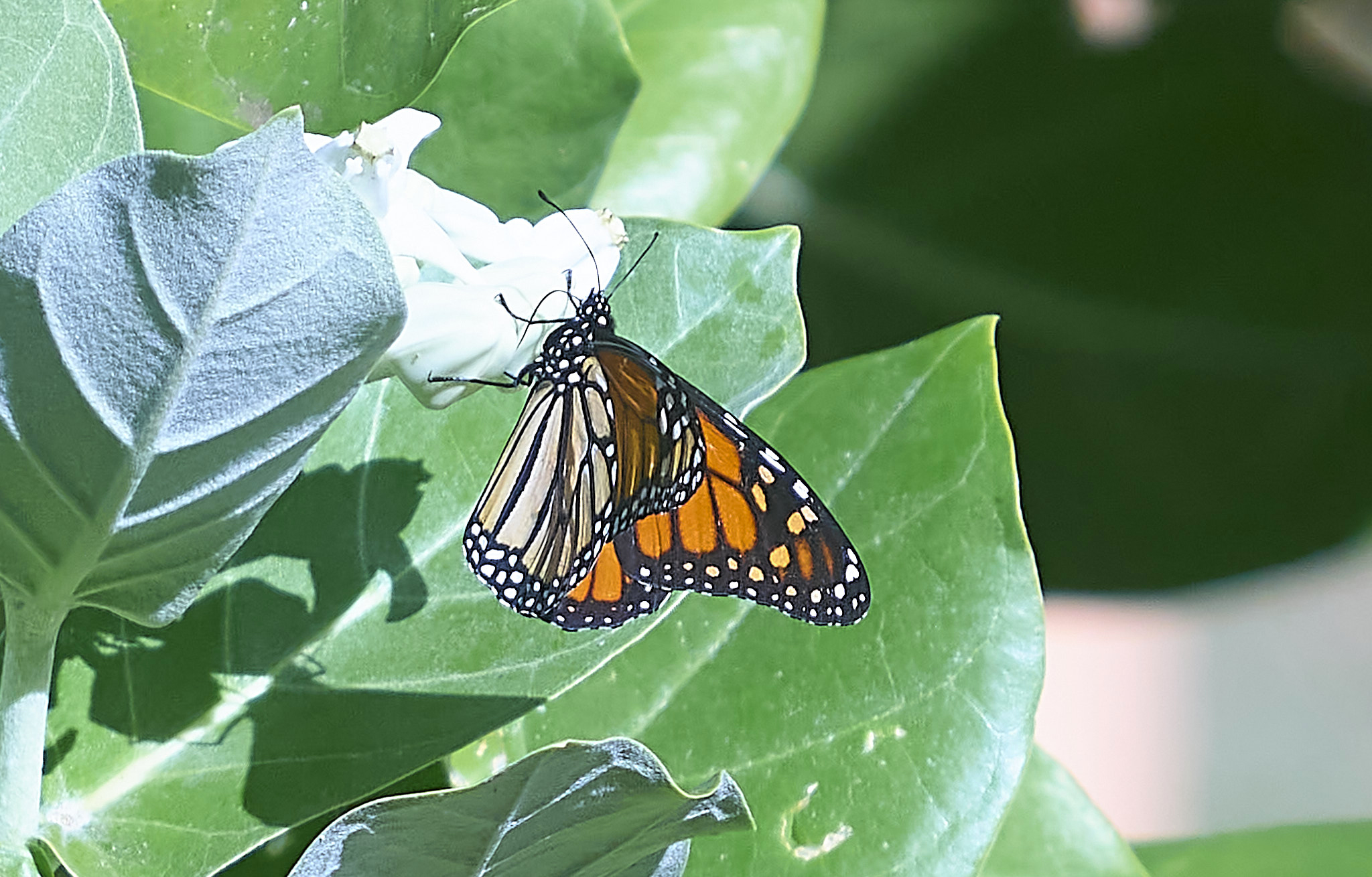
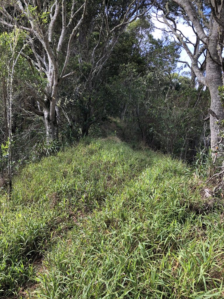
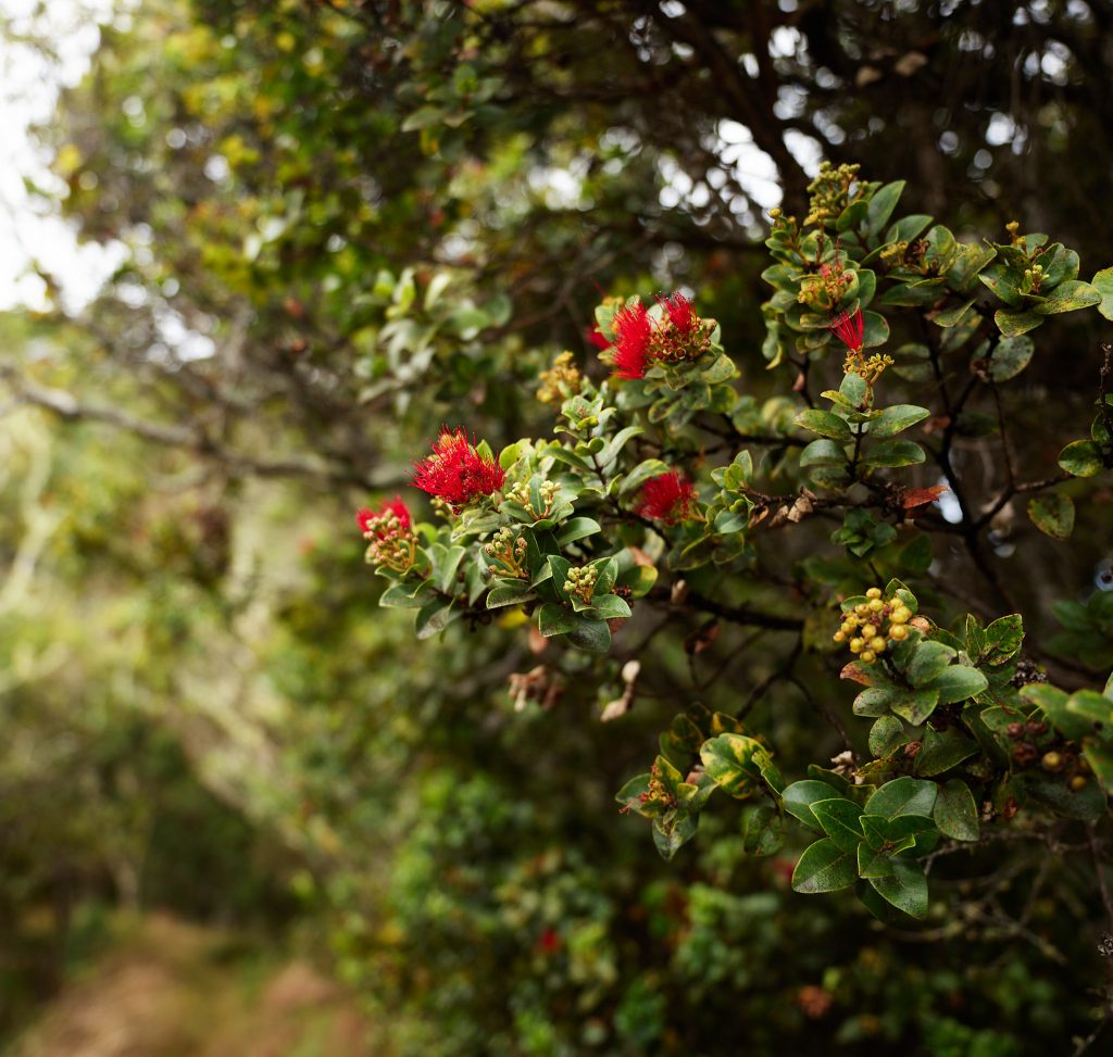
You can experience tall grasses. You can have a route that is open air in its feel yet provides tree coverage. This is important for protection from the heat and sun. If you want flowers and berries on your trip, this trail has it.
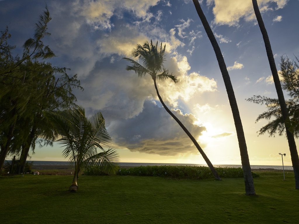
If you want to happen upon expansive views of deep canyons, the Kohua Ridge trail offers many.
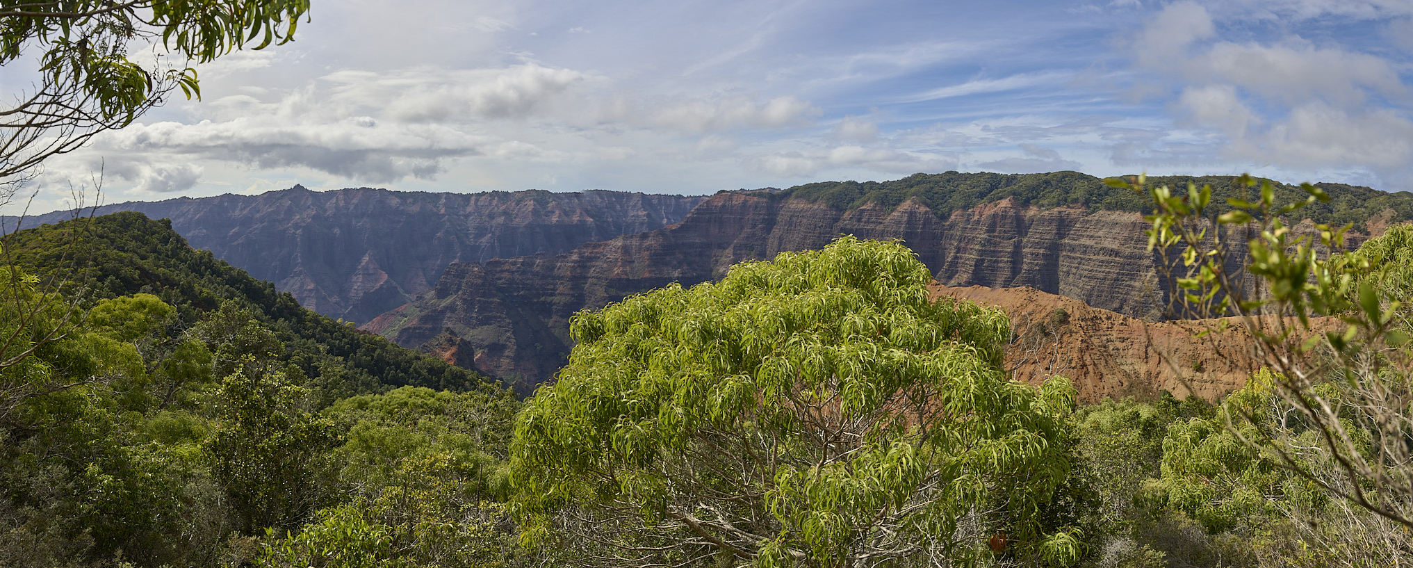
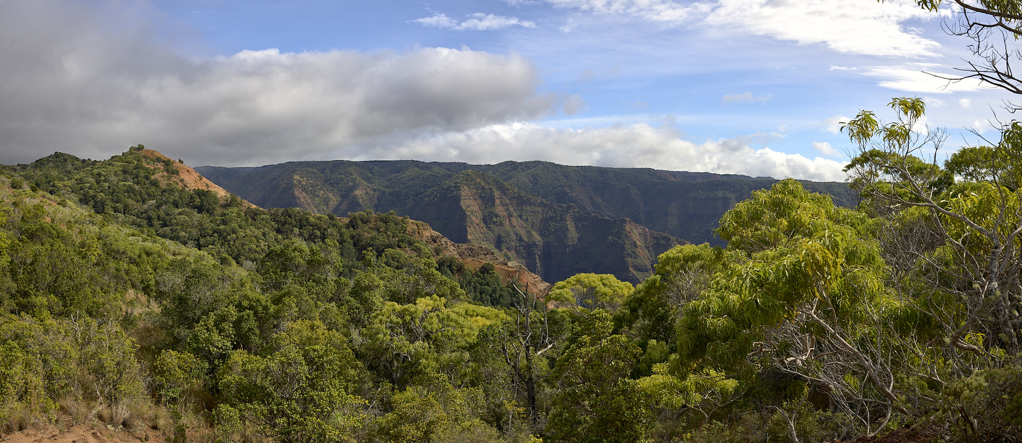
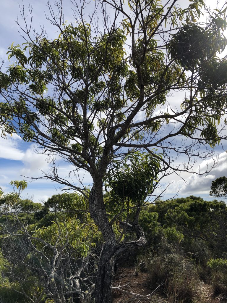
The two images above present arguably the most wonderful view on the trail. At 2.1 miles into the trip, find the tree displayed below. Stop! Look to your right and you can experience what is shown in the first image above. Look to your left and you can experience what is what is shown in the second.
Here are some short videos of the two views
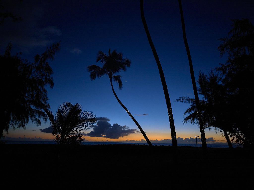
The Trails End offers a view of the Grand Canyon of the Pacific from is interior all the way out to the Pacific Ocean.

Below is a short video of the view from the Trails End.
View of the Canyon to the Pacific
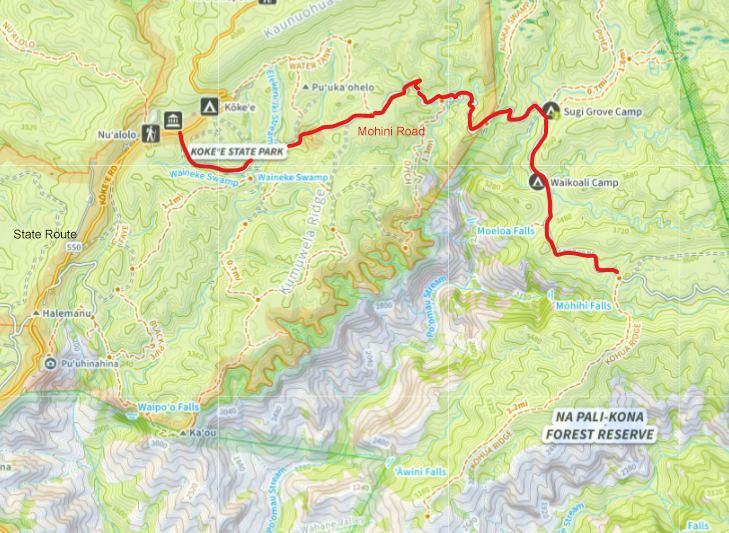
Kohua Ridge Trail Map
— Jeff’s Thoughts and Other Worthless Trivia —
The trail is used by hunters. Their permit allows them access on Thursday, Friday, Saturday and Sunday. I do not take the Border Collies on hunting days. This trip was on a Sunday.
I blew up the image from the Trails End. I did so to establish if I could make out my house. It is located on the Pacific Ocean, just a few hundred yards north of the mouth of the Waimea River. Close, but no cigar.
The level of effort becomes more difficult if the trail is wet from a recent rain-storm. The level of effort becomes more difficult if you are uncomfortable traversing a narrow ridgeline section.
To reach the trailhead, requires travel up the Waimea Canyon. First, is a 15+ mile and 3,700 vertical foot ascent up to the Kōkeʻe State Park Museum and Campground on highway 550. Second, is a five mile effort on the Mohini Road. Travel on Mohini Road is a four-wheel drive multiple ridge and stream crossing effort. The Mohini Road is a rough road by any standard. Traveling its distance to the Kohua Ridge trailhead is highly subject to weather conditions. The roadbed can be washed away quickly and can become unnavigable for long periods of time. For most of its distance the Mohini Road is a narrow one-lane endeavor. However, the state of Hawaii makes a concerted effort to keep the Mohini Road open and safe for travel in four-wheel vehicles.
I love traveling on the Mohini Road. But then, I like traveling in the backcountry. I am willing to cross streams and creeks. I am comfortable having to back up or down a narrow one-lane track to get to the open spot – even close to a cliff or ditch – such that the the vehicle traveling in the opposite direction can pass. I am willing to be patient and travel super slow in order to be safe. If you do not like traveling – let alone drive – on this type of road – the Mohini is not for you!