The last four miles of Highway 550 on the island Kauai (MM16 to MM20) on the north and west side contain trailheads to 4 spectacular hikes onto ridgelines and valleys of the Na Pali Coast. Sitting about 500 feet below on the south and east side of the road is the Alakai Swamp. These sections get a great deal of attention from guide-books and are at the top of “Best” and “Must” lists for Kauai.
The section to the immediate south and east side of the road is known as Kaunuohua Ridge and Kanuamaa Flat. These sections look down upon the Alakai Swamp.
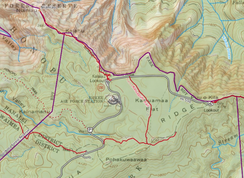
However, often lost in the conversation is the Kaluapuhi Trail. The trail sits a top the Kanuamaa Flat. It is a 2.4 mile out and back hike. I like this trail because it is a nice alternative to the longer and or more demanding hikes onto the Na Pali coast or the Alakai swamp.
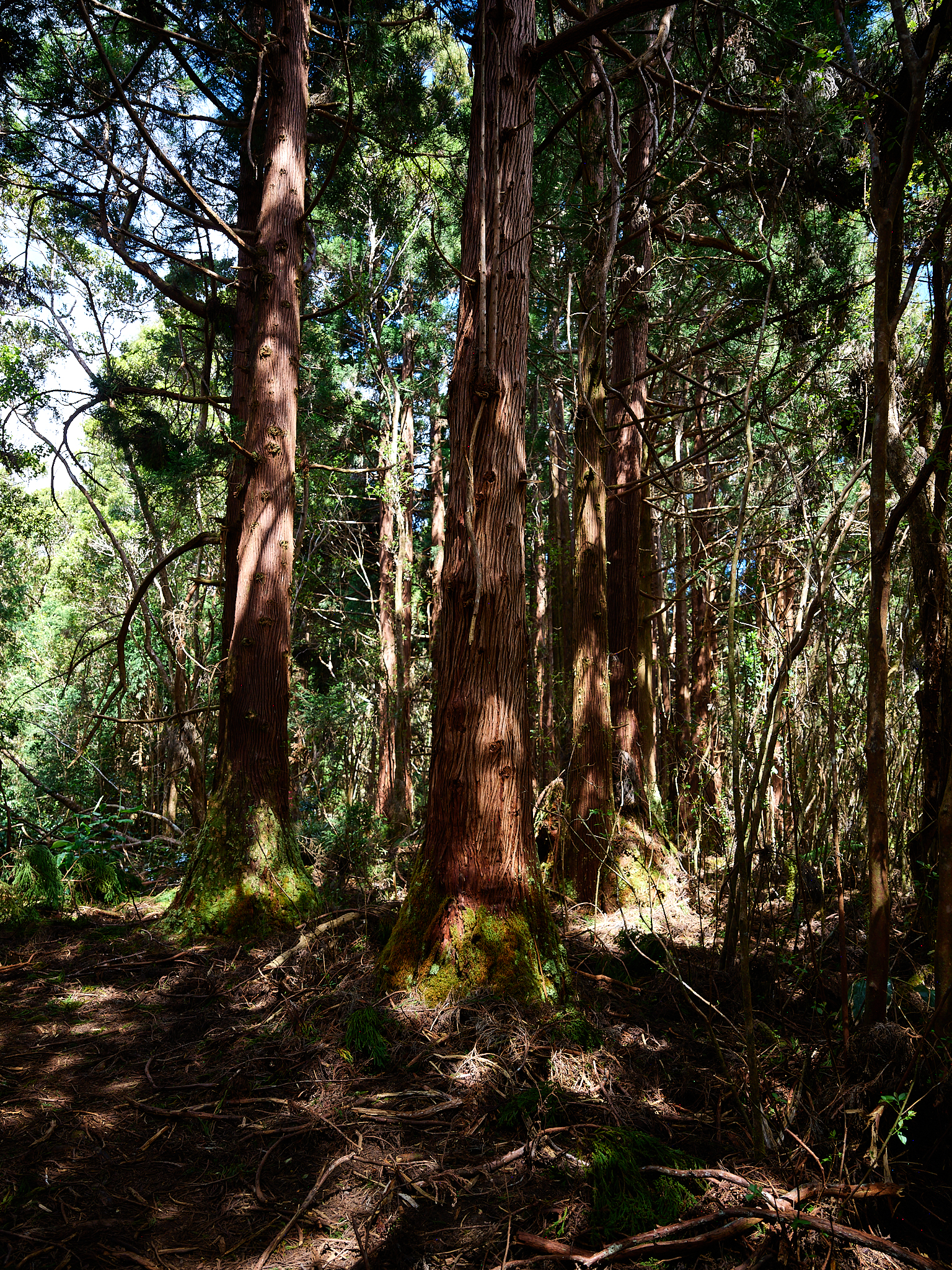
Sugi trees
The hike provides great examples of the nature and makeup of the Koke’e Forest. There are groves of Sugi trees and stretches of ferns. The trail route is mostly covered by forest, that allows light to shine through.
The Sugi tree is officially known as Cryptomeria. It is the national tree of Japan and was introduced to Kauai in 1829 for forestry purposes. The Sugi grows to a hieght of about 80 feet on Kauai.
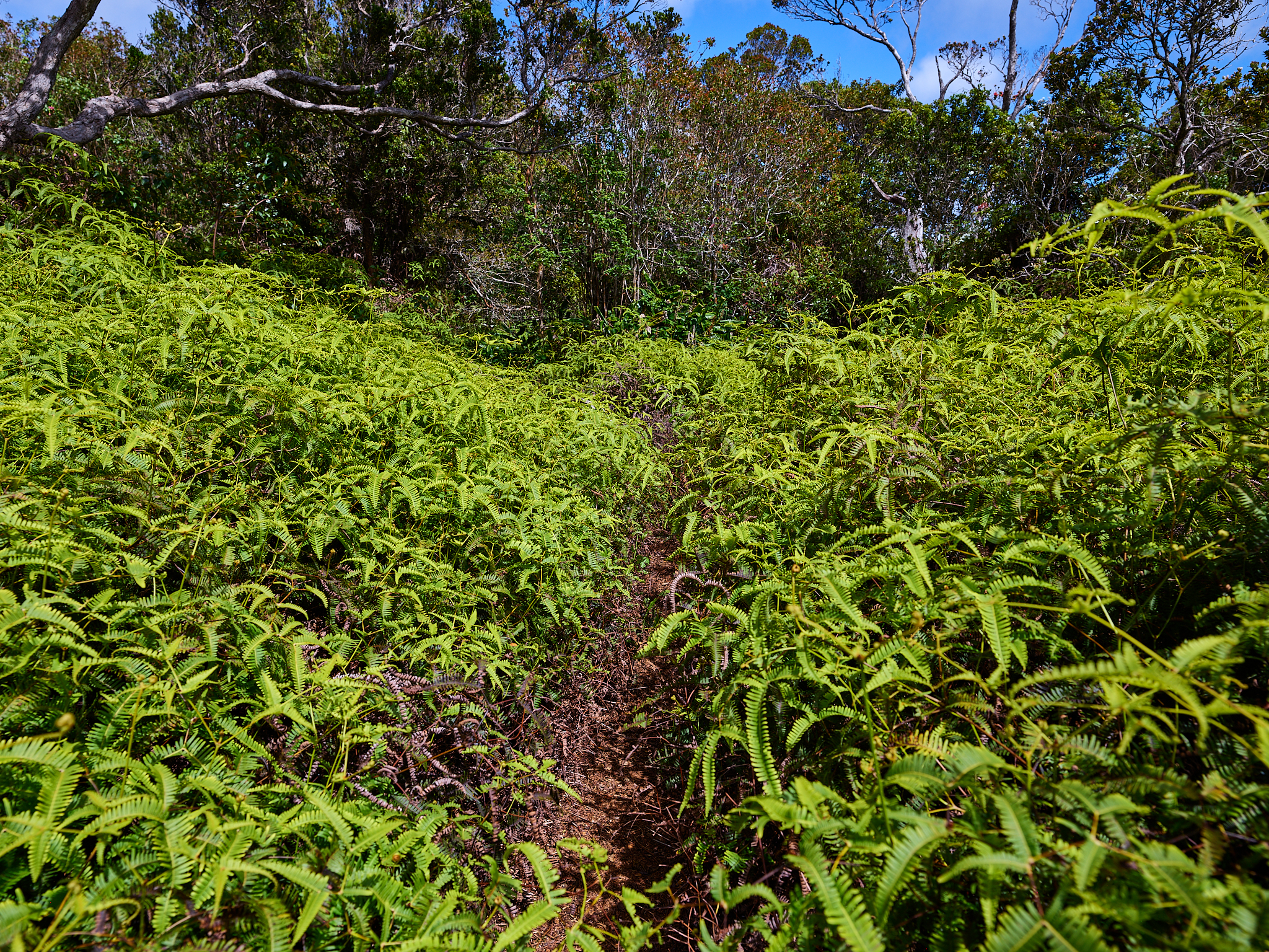
ferns
The trailhead is about a 1/4 mile from the Kalaulau Lookout. The first .7 miles heads south and reaches a junction. Head to the east and after .3 miles the Alakai Swamp appear below and on the horizon. Head to the west and after .5 miles the trail meets up with highway 550 .25 miles before Honopu trailhead.
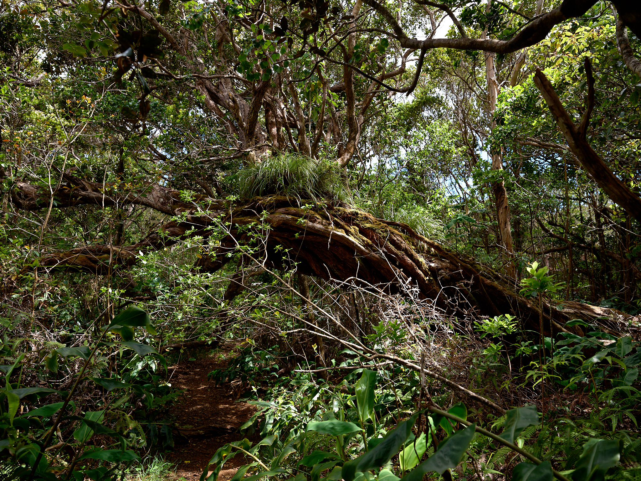
The trail feels to be in a primeval forest.
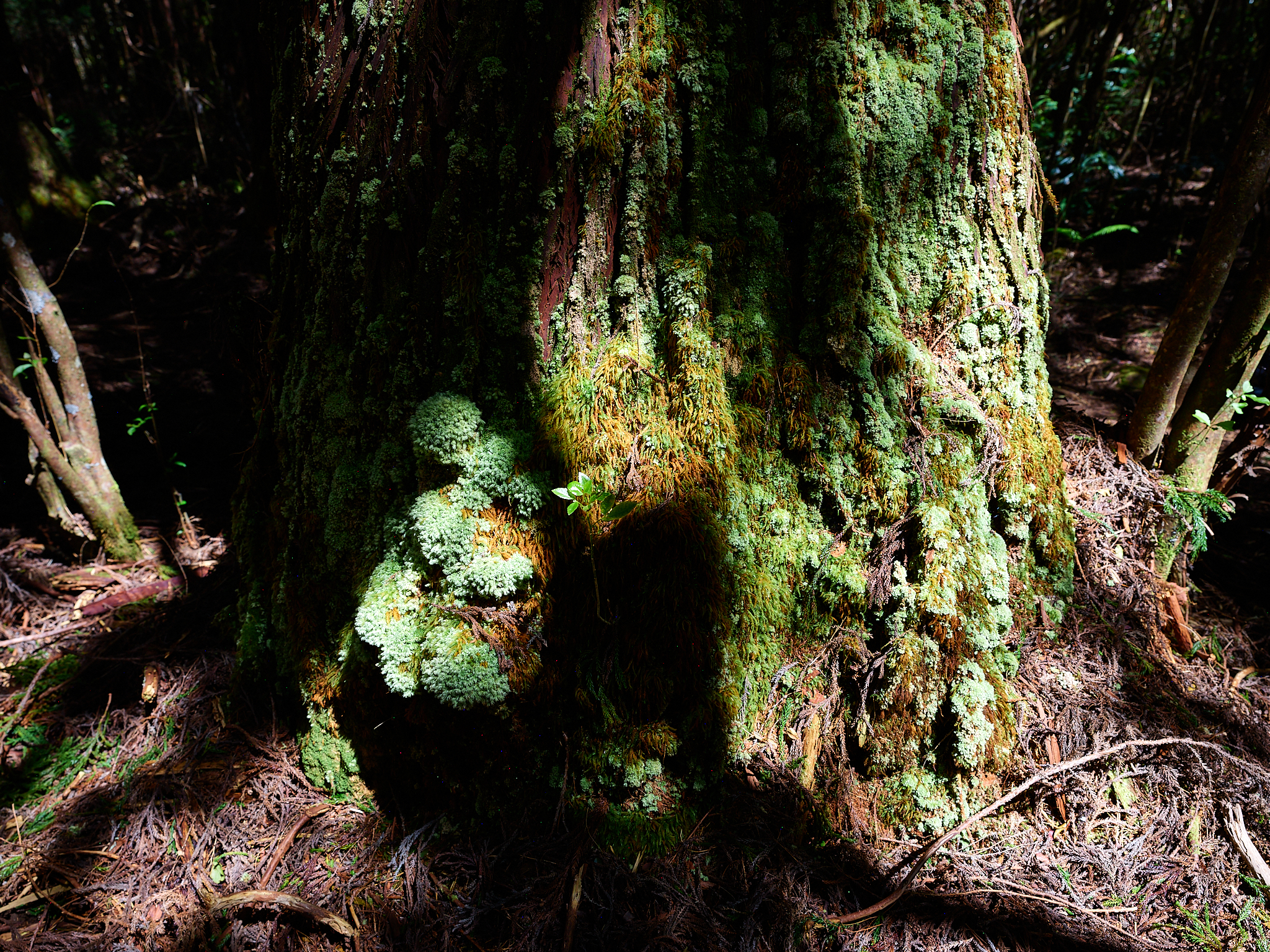
Base of Sugi tree covered in moss.
Kaluapuhi Trail