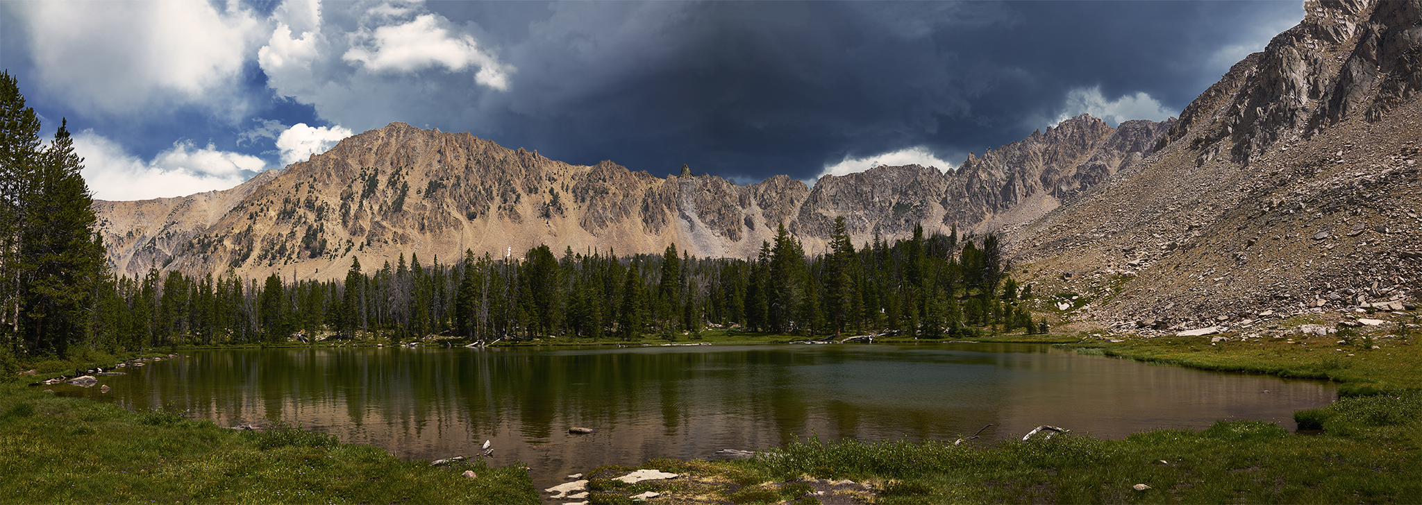
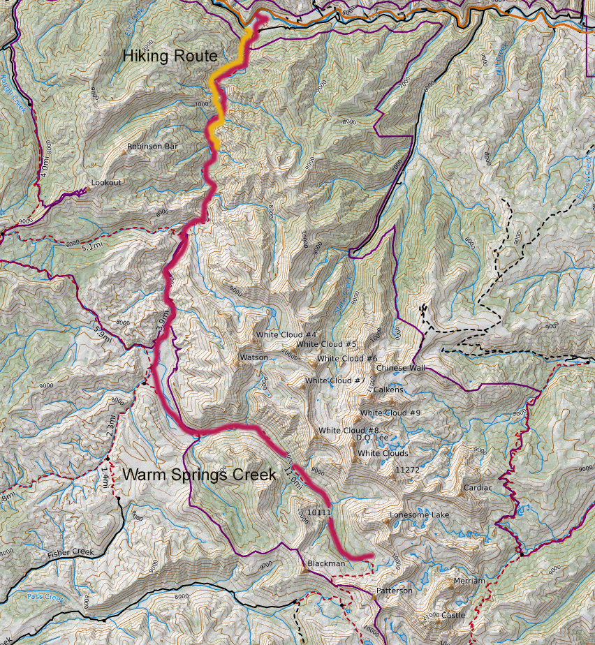
Warm Springs Creek is a fascinating watercourse. It begins its 19.5 mile journey at the highest of the Born Lakes (9,640ft) just below Lonesome Lake Peak (11,302ft). Almost all of the river floats within the Cecil B. Andrus White Clouds Wilderness.
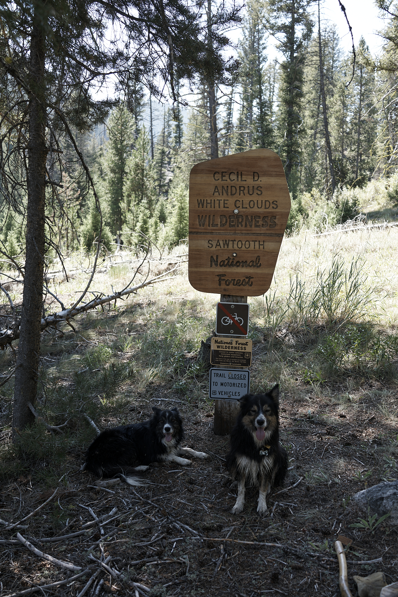
I visited the source of Warm Springs Creek few years ago with my wife Linda. We made the journey to celebrate the region receiving its National Wilderness Designation. We made the trip on the day the Wilderness Border sign was placed on the trail (one year after its official designation). The Post is located [here]. Lonesome Lake Peak brings about good memories as well. Linda and I summitted it in the early 1980’s as part of a 4-day backcountry into the Boulder Chain Lakes.
Warm Springs Creek flows into the Salmon River near Robinson Bar Ranch. The 128 acre ranch is private property and is completely surrounded by the Sawtooth National Recreation Area.
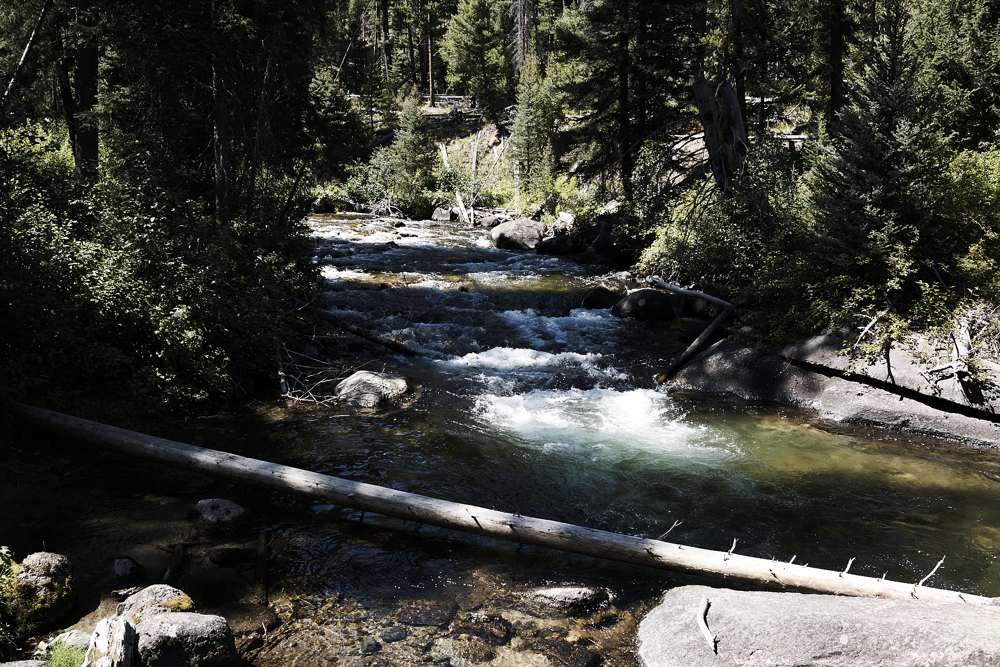
Access to the trailhead is made by crossing the Salmon River at the Robinson Bar Bridge and traveling on Forest Service Road 454 on the south side. The first 1/4 – 1/2 mile of the trail goes over and around a ridgeline to meet up with Warm Springs Creek on SNRA land. This approach was created to avoid interaction with the Robinson Bar Ranch. The Wilderness begins about a mile up the creek.
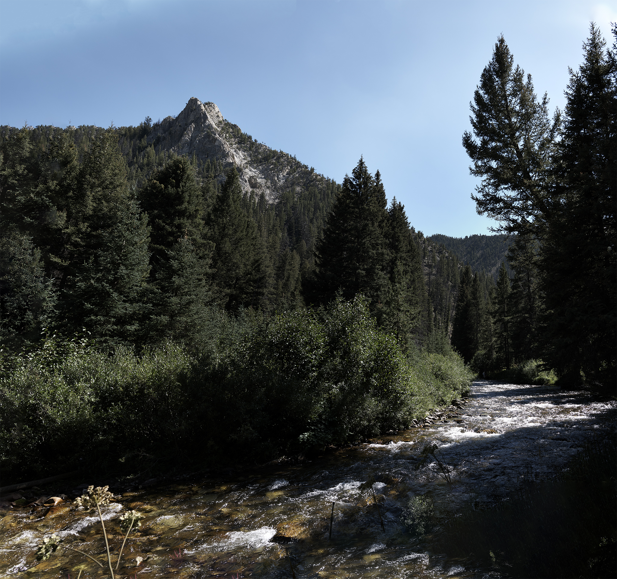
Other than its steep start, and a few ups and downs, the Warm Springs Creek trail offers easy traveling. The route provides plenty of water, shade and sun. The trail bed well-defined and pleasingly soft. The Border Collies (Sage & Willow) decide this trip (at least for me) will be conducted in a slow, relaxed manner, without hurry or effort. In short, we will Saunter out for 4+ miles before starting our return.
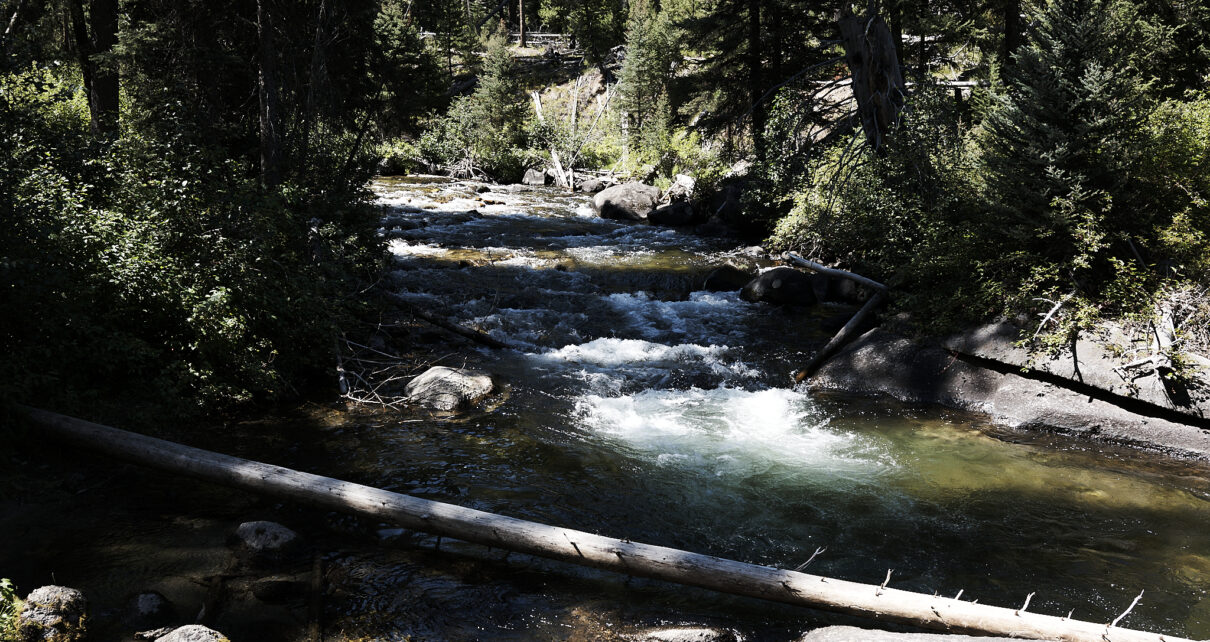
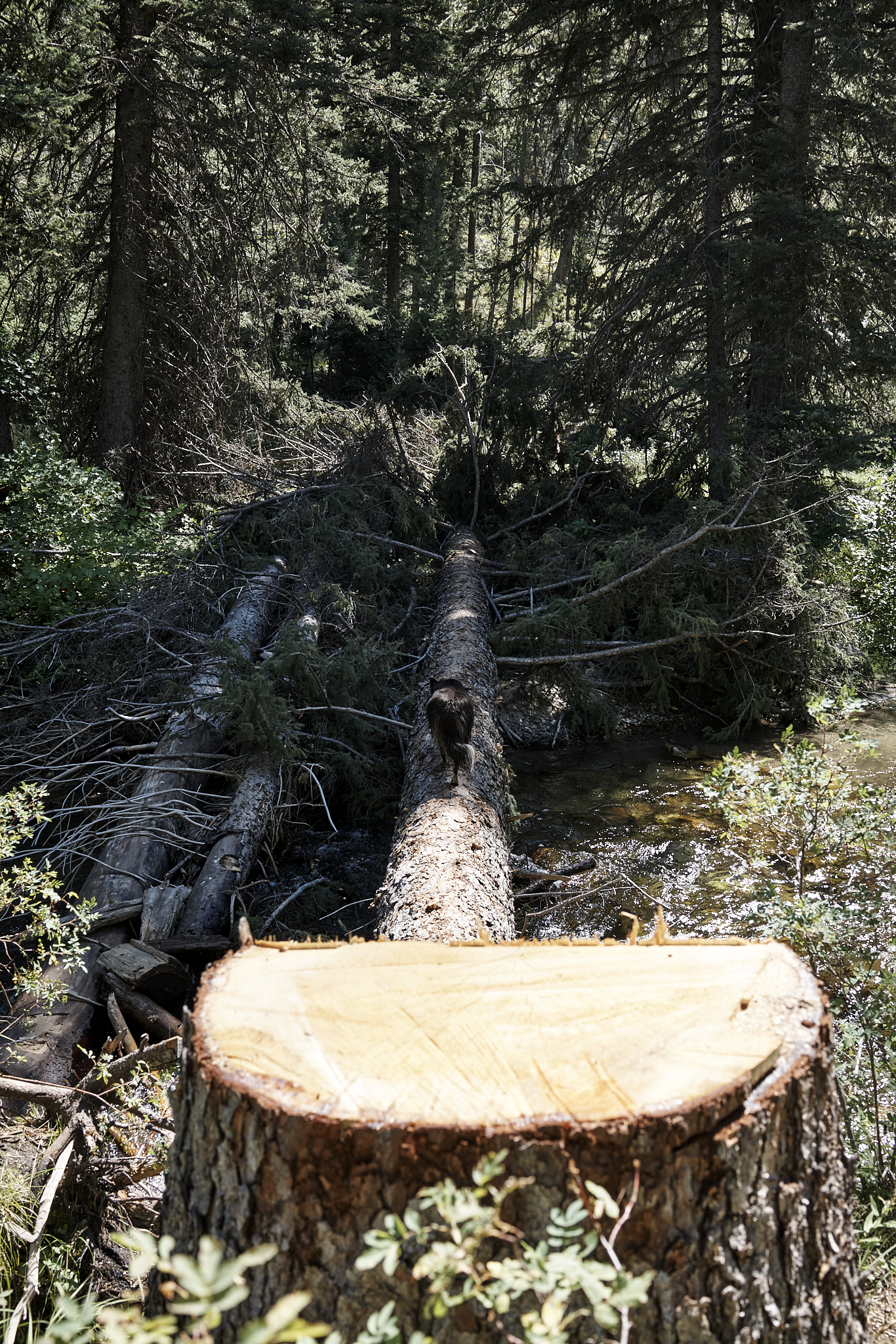
About 1 hour into our Saunter, the trail crosses Warm Springs Creek. The creek is about ankle to calf-high at this point in the season. As I am about to cross the creek, I notice that Sage and Willow are rustling on the bank nearby. I notice a large fir tree has been cut and felled across the width of the creek. The Border Collies are in the midst of crossing the creek via the new tree-bridge as I approach. There is strong evidence this tree-bridge is a recent development. I take the time to count the rings on the tree. There are 327 rings (1 for each year of life).
About 1/4 mile after crossing the river, I notice some relatively recent first activity. A sign at the trailhead issues a warning the area had been burned. The burn area started from the top of a pinnacle. The burn area is no more than a 1/4 mile wide. The burn area goes down to (but not across) the creek.
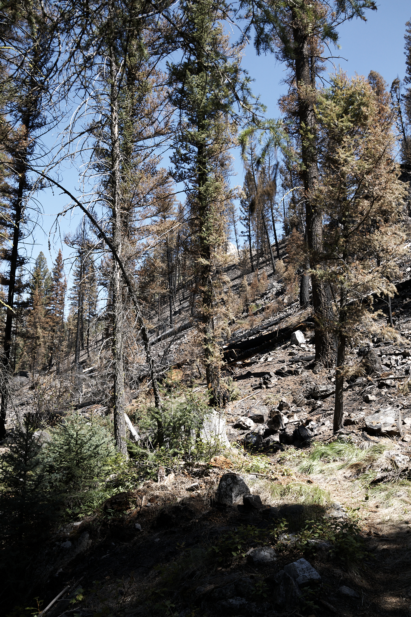
I have searched the web – using my normal map and fire sites, but cannot find any information about a fire in this immediate area. My guess is the 2005 Valley Road Fire (40,000 acres burned) might be too far away (2 miles to the south) to be associated with this burn. But who knows?
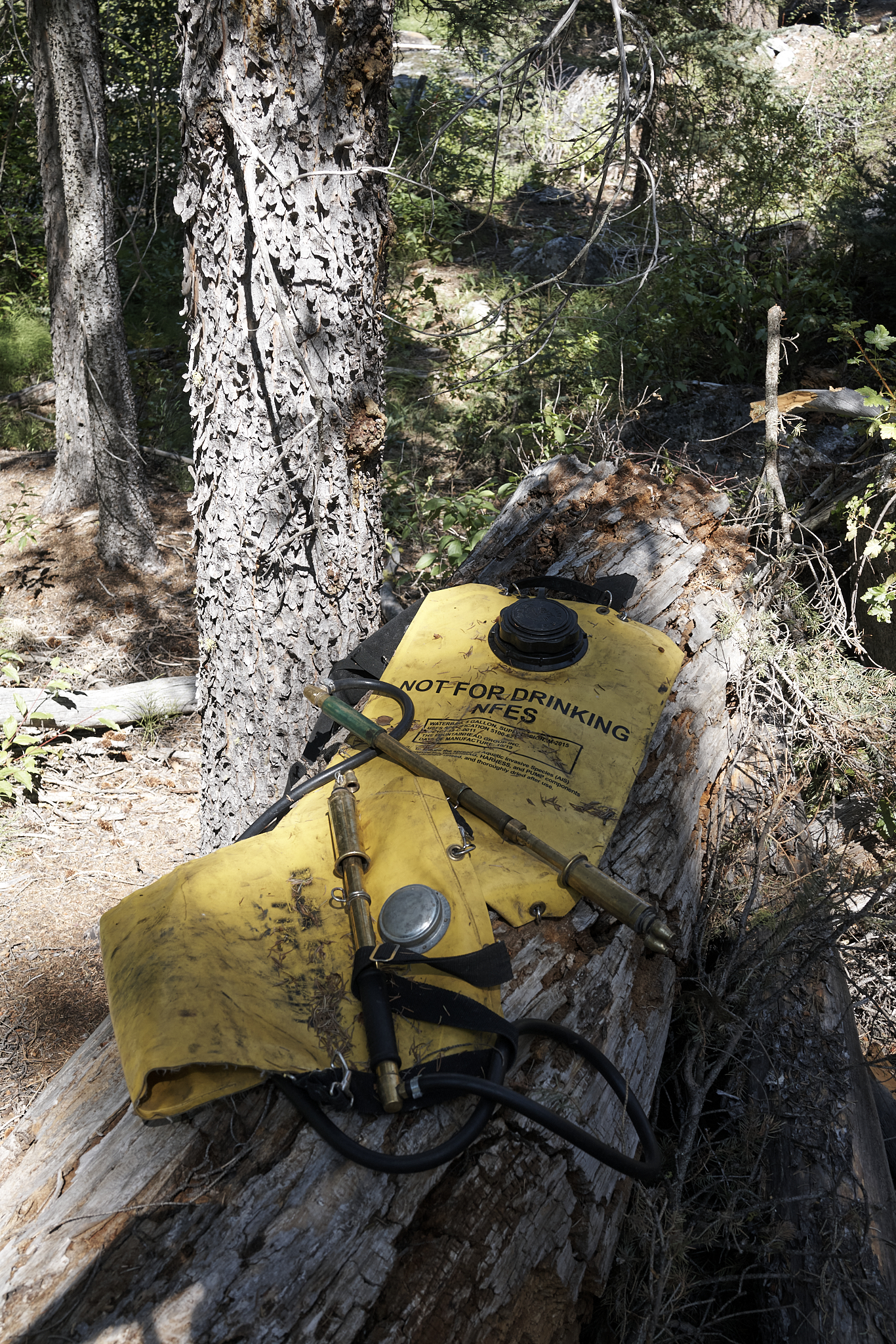
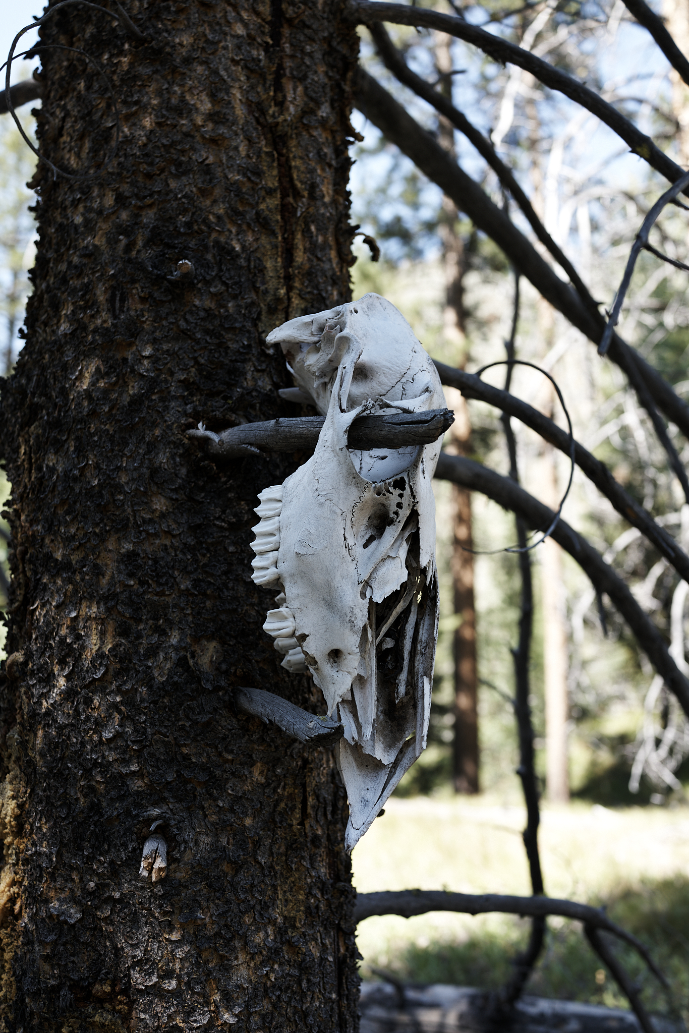
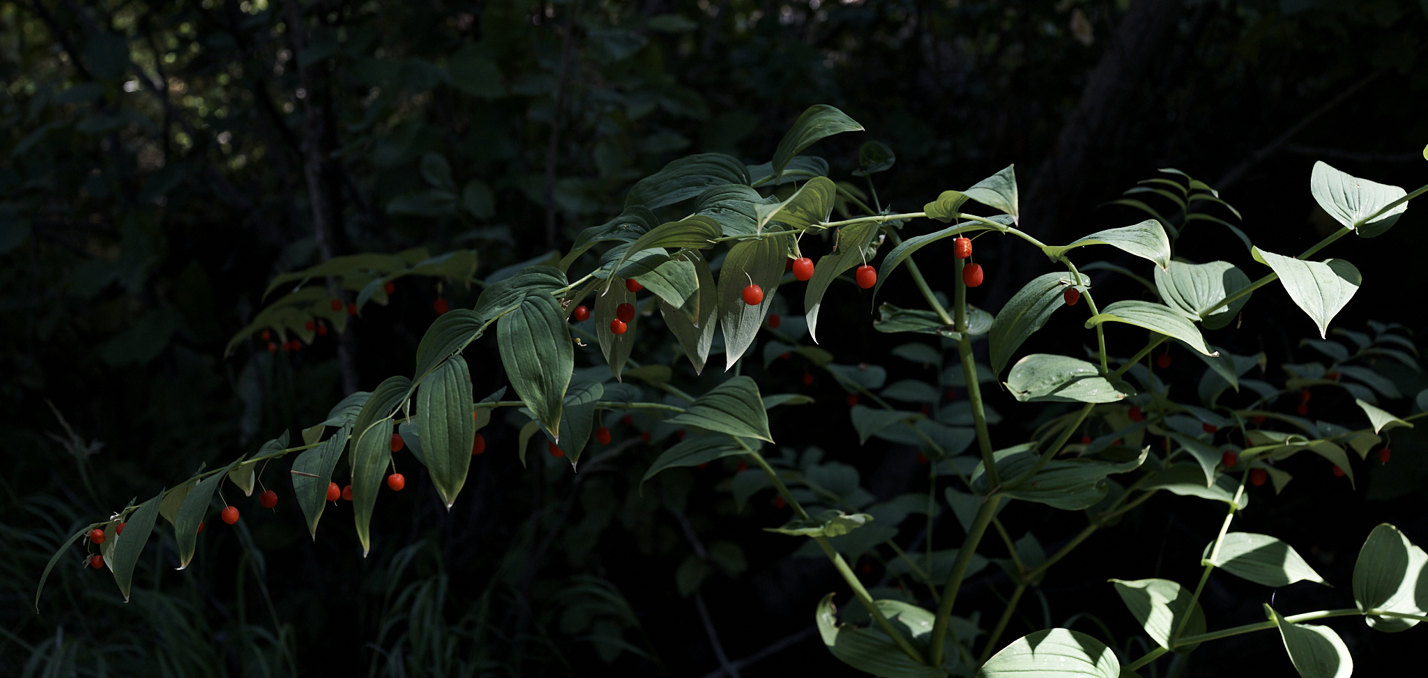
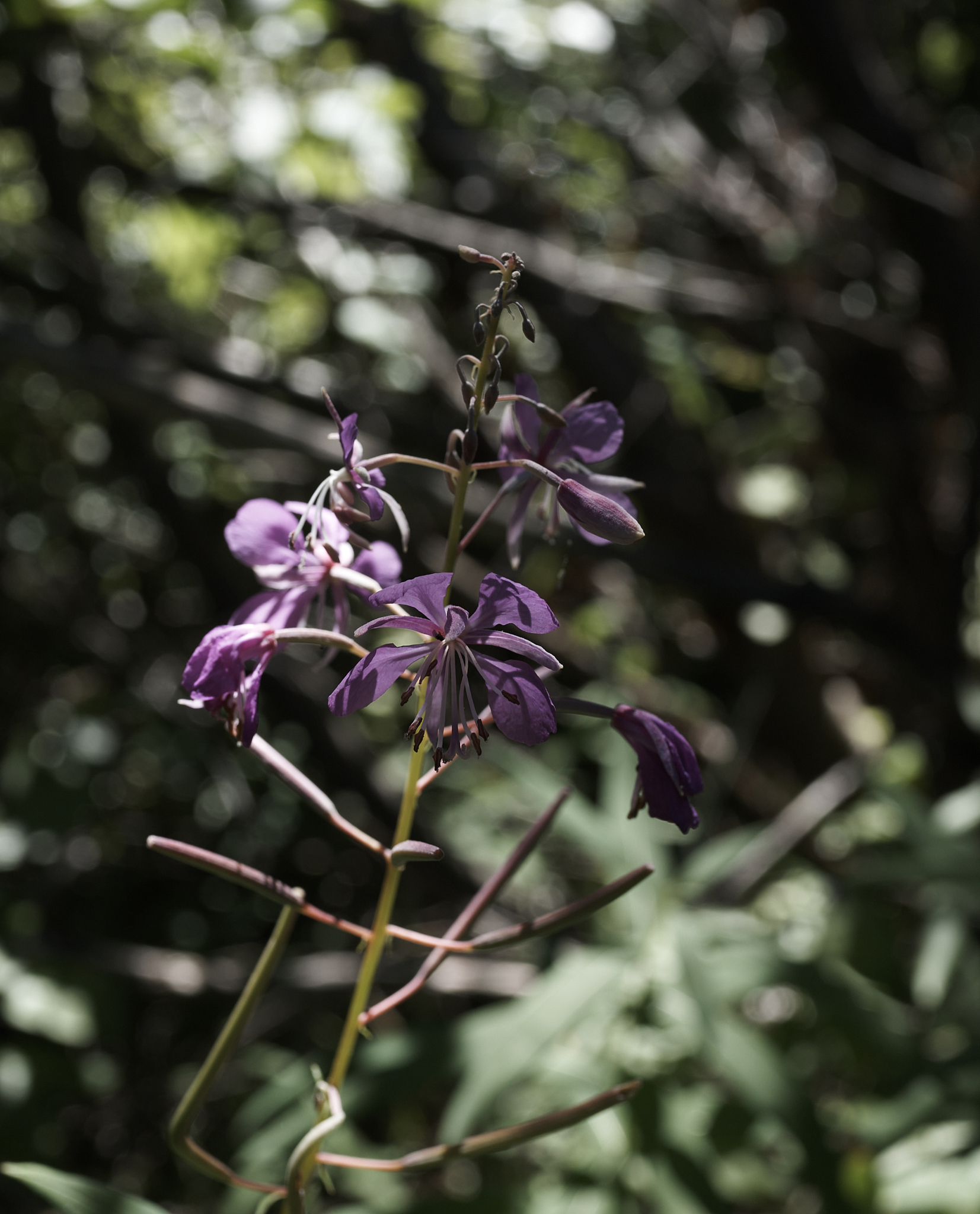
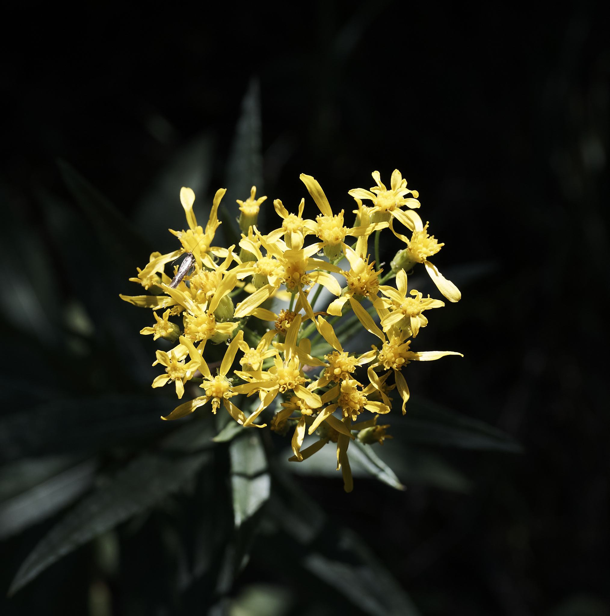
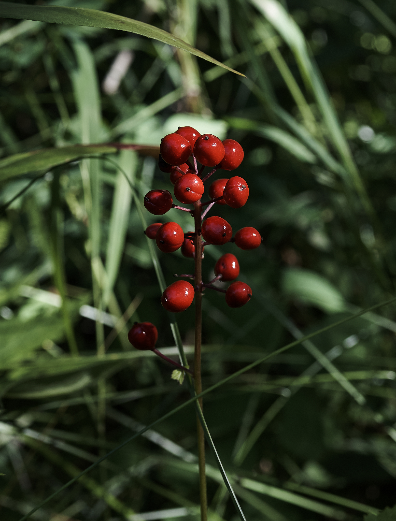
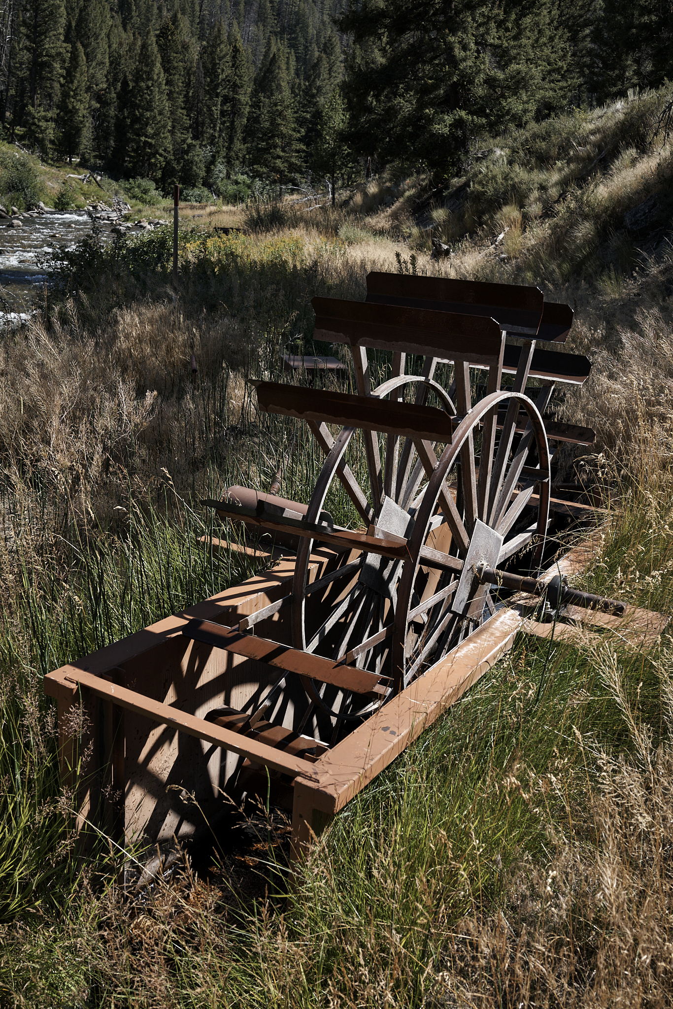
On the return – operating in Saunter mode – I capture some images of elk skulls, flowers, berries, and a water wheel.
**** Jeff’s Thoughts and Other Worthless Trivia ****
Singer-Songwriter Carole King Sorenson and her husband (Rick) bought the ranch in 1981 and sold it in 2019.
The 2005 Valley Road Fire was started by human related activity. A worker on a private ranch started a fire in Burn Barrel and left it unattended. Subsequently the contents of the Burn Barrel spilled onto the ground and caused the larger fire.